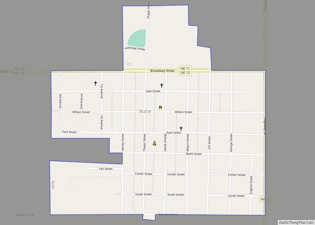
Butte is a small town in, and the county seat of, Boyd County, Nebraska, United States. Its population was 326 according to the 2010 census, down from 366 in 2000. Butte village overview: Name: Butte village LSAD Code: 47 LSAD Description: village (suffix) State: Nebraska County: Boyd County Elevation: 1,811 ft (552 m) Total Area: 0.47 sq mi (1.22 km²) ... Read more
Nebraska Cities and Places
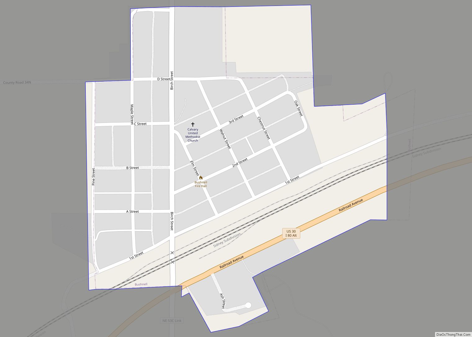
Bushnell is a village in Kimball County, Nebraska, United States. The population was 124 at the 2010 census. Bushnell village overview: Name: Bushnell village LSAD Code: 47 LSAD Description: village (suffix) State: Nebraska County: Kimball County Elevation: 4,869 ft (1,484 m) Total Area: 0.23 sq mi (0.59 km²) Land Area: 0.23 sq mi (0.59 km²) Water Area: 0.00 sq mi (0.00 km²) Total Population: 115 Population ... Read more
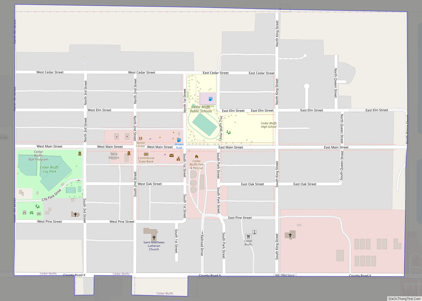
Cedar Bluffs is a village in Saunders County, Nebraska, United States. The population was 615 at the 2020 census. Cedar Bluffs was a point on the Mormon, Oregon, and California Trails. Cedar Bluffs village overview: Name: Cedar Bluffs village LSAD Code: 47 LSAD Description: village (suffix) State: Nebraska County: Saunders County Elevation: 1,296 ft (395 m) Total ... Read more
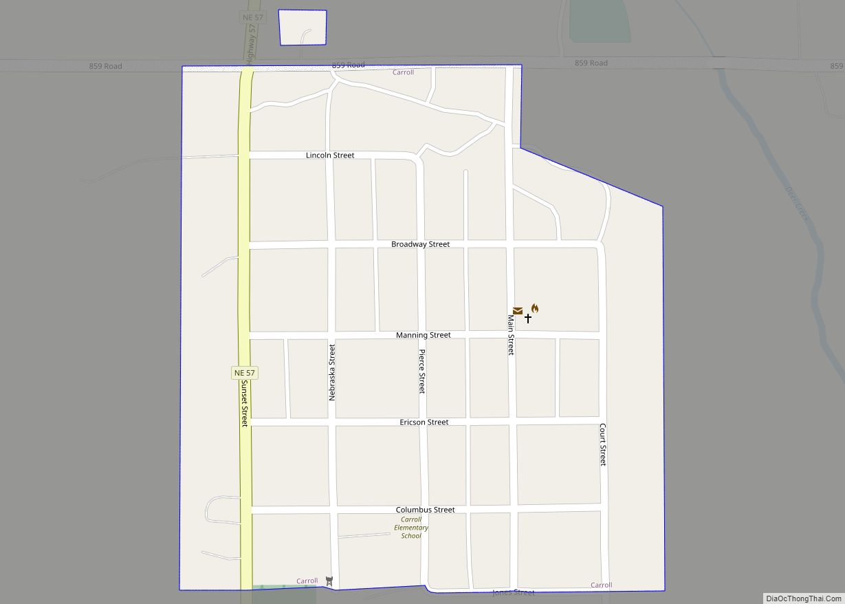
Carroll is a village in Wayne County, Nebraska, United States. The population was 193 at the 2020 census. Carroll village overview: Name: Carroll village LSAD Code: 47 LSAD Description: village (suffix) State: Nebraska County: Wayne County Elevation: 1,558 ft (475 m) Total Area: 0.15 sq mi (0.39 km²) Land Area: 0.15 sq mi (0.39 km²) Water Area: 0.00 sq mi (0.00 km²) Total Population: 193 Population ... Read more
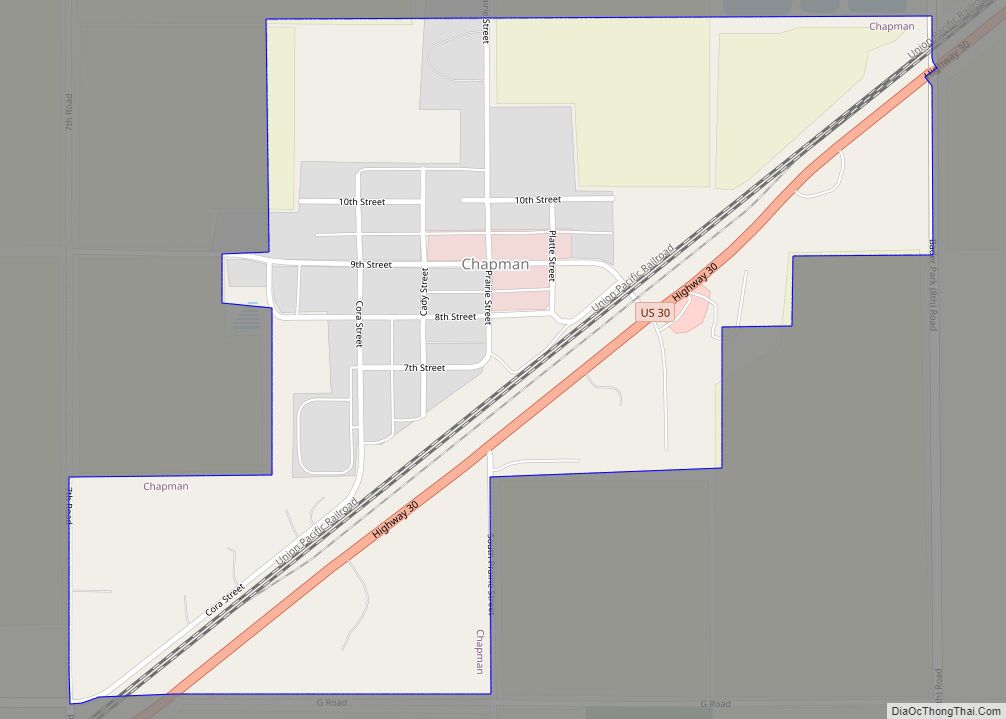
Chapman is a village in Merrick County, Nebraska, United States. The population was 287 at the 2010 census. It is part of the Grand Island, Nebraska Micropolitan Statistical Area. Chapman village overview: Name: Chapman village LSAD Code: 47 LSAD Description: village (suffix) State: Nebraska County: Merrick County Elevation: 1,765 ft (538 m) Total Area: 0.45 sq mi (1.16 km²) Land ... Read more
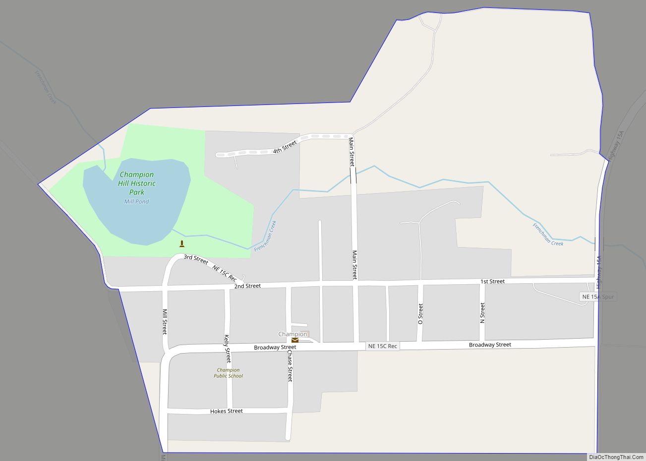
Champion is an unincorporated community and census-designated place in central Chase County, Nebraska, United States. As of the 2010 census, it had a population of 103. It has a post office with the ZIP code 69023. Champion CDP overview: Name: Champion CDP LSAD Code: 57 LSAD Description: CDP (suffix) State: Nebraska County: Chase County Elevation: ... Read more
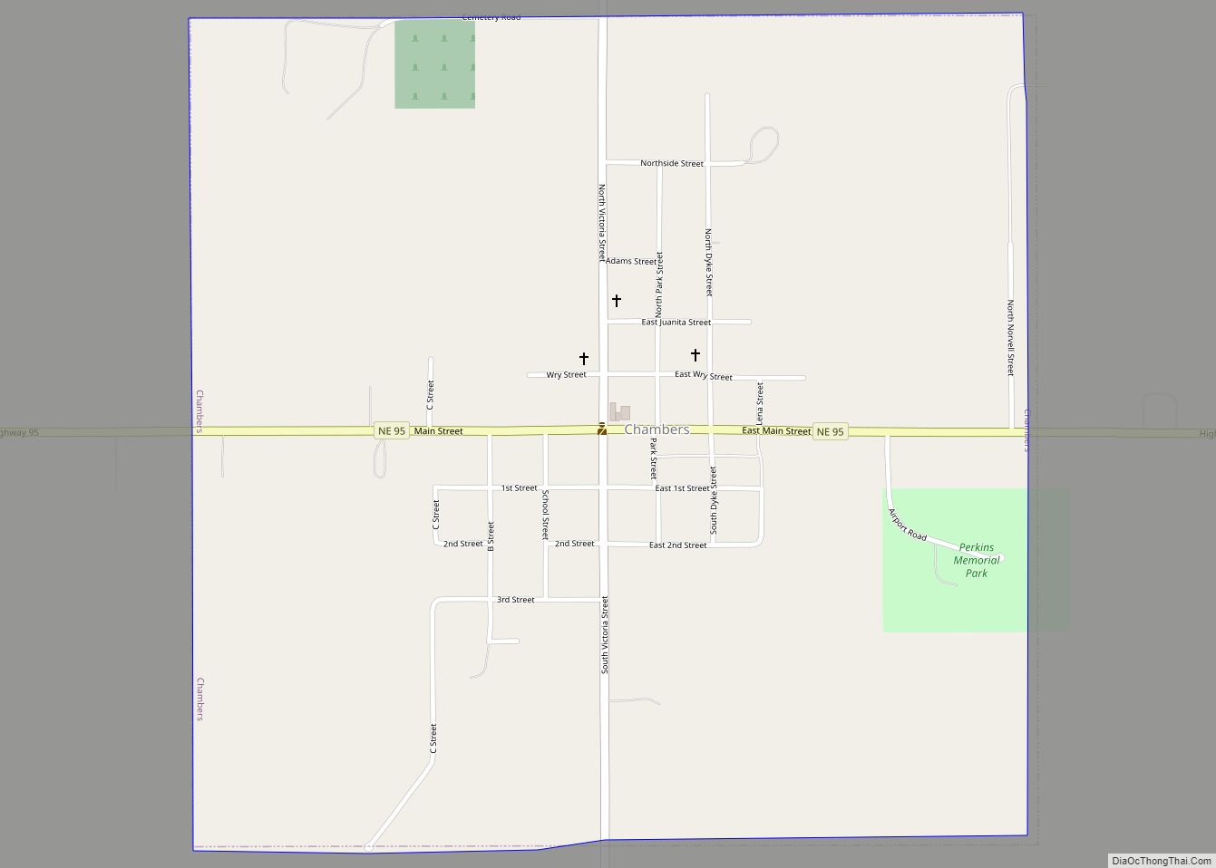
Chambers is a village in Holt County, Nebraska, United States. The population was 268 at the 2010 census. Chambers village overview: Name: Chambers village LSAD Code: 47 LSAD Description: village (suffix) State: Nebraska County: Holt County Elevation: 2,119 ft (646 m) Total Area: 1.02 sq mi (2.64 km²) Land Area: 1.02 sq mi (2.64 km²) Water Area: 0.00 sq mi (0.00 km²) Total Population: 288 Population ... Read more
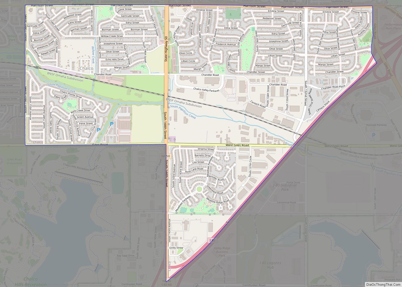
Chalco is a census-designated place (CDP) in northern Sarpy County, Nebraska, United States, and an adjacent suburb of Omaha, with La Vista located to the southeast. The population was 11,064 at the 2020 census. Chalco CDP overview: Name: Chalco CDP LSAD Code: 57 LSAD Description: CDP (suffix) State: Nebraska County: Sarpy County Elevation: 1,076 ft (328 m) ... Read more
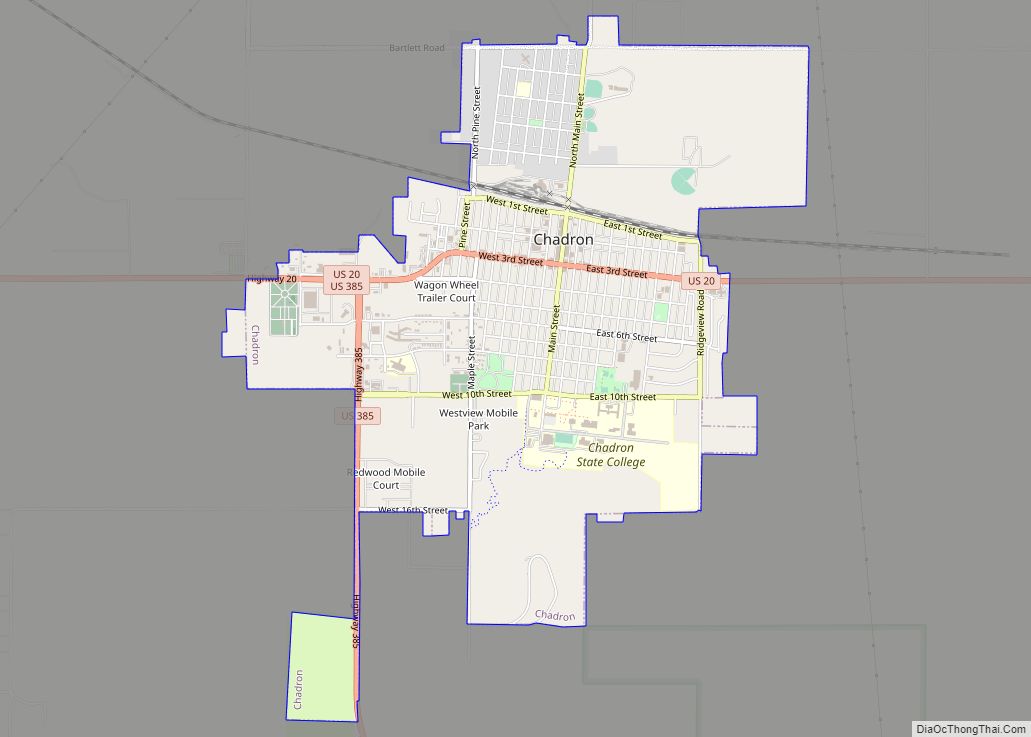
Chadron (/ˈʃædrən/ SHAD-rən) is a city and the county seat of Dawes County, in the state of Nebraska in the Great Plains region of the United States. The population was 5,851 at the 2010 census. This city is the location of Chadron State College. Chadron also is the United States Forest Service headquarters of the ... Read more
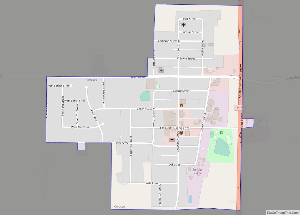
Ceresco is a farming village in Saunders County, Nebraska, United States. The population was 919 at the 2020 census. It is located near U.S. Highway 77, just north of Lincoln, just south of Wahoo, and a short distance southwest of Omaha. Ceresco village overview: Name: Ceresco village LSAD Code: 47 LSAD Description: village (suffix) State: ... Read more
Central City is a city and the county seat of Merrick County, Nebraska, United States. It is part of the Grand Island, Nebraska Metropolitan Statistical Area. The population was 2,934 at the 2010 census. Central City city overview: Name: Central City city LSAD Code: 25 LSAD Description: city (suffix) State: Nebraska County: Merrick County Elevation: ... Read more
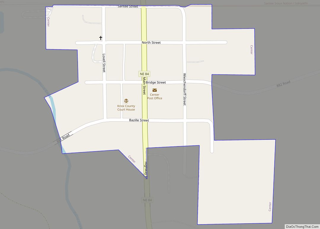
Center is a village in, and county seat of, Knox County, Nebraska, United States. The population was 73 at the 2020 census. Center village overview: Name: Center village LSAD Code: 47 LSAD Description: village (suffix) State: Nebraska County: Knox County Elevation: 1,394 ft (425 m) Total Area: 0.10 sq mi (0.27 km²) Land Area: 0.10 sq mi (0.27 km²) Water Area: 0.00 sq mi (0.00 km²) ... Read more
