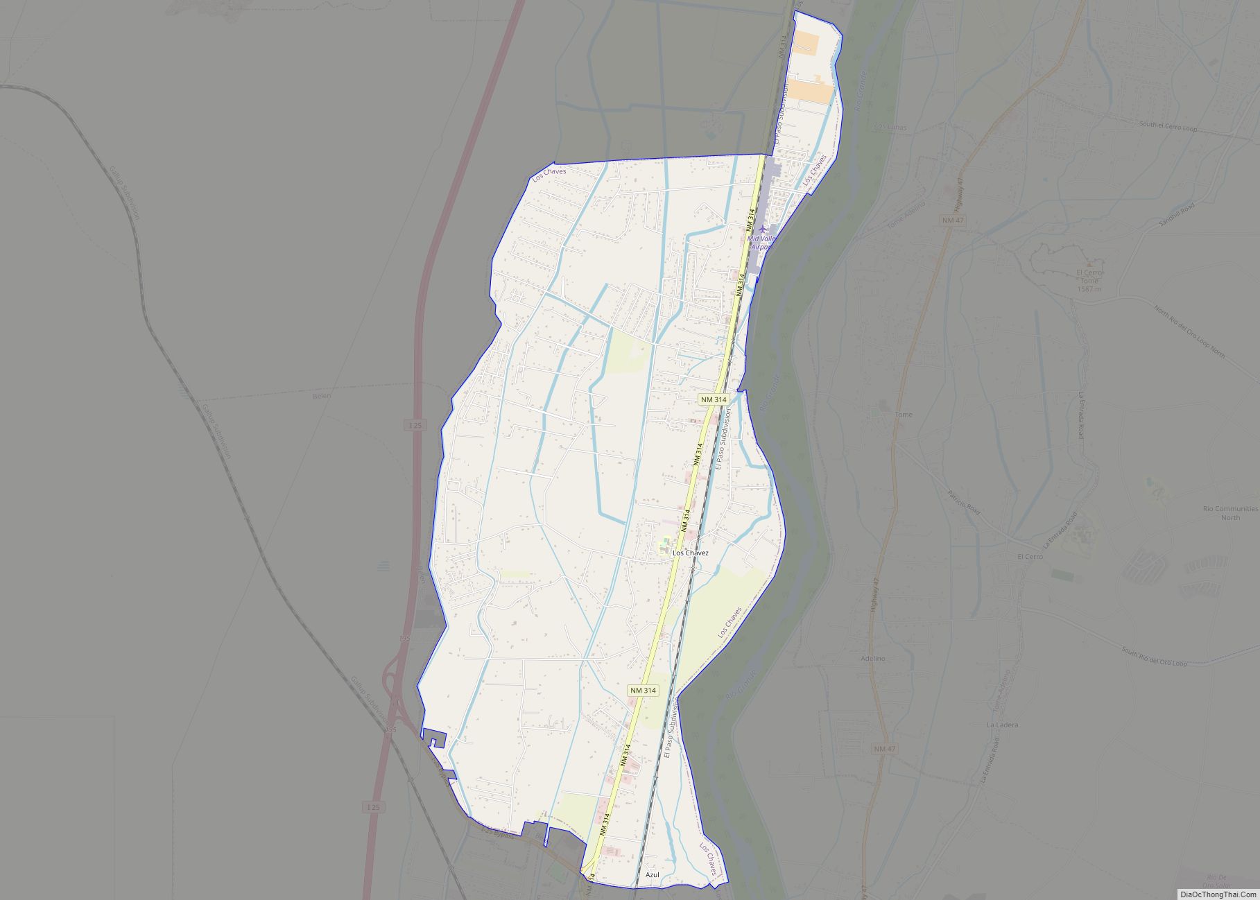
Map of Logan village, New Mexico

Map of Logan village, New Mexico

Logan is a village in Quay County, New Mexico, United States. The population was 1,042 at the 2010 census. Logan village overview: Name: Logan village LSAD Code: 47 LSAD Description: village (suffix) State: New Mexico County: Quay County Elevation: 3,819 ft (1,164 m) Total Area: 11.31 sq mi (29.28 km²) Land Area: 10.60 sq mi (27.44 km²) Water Area: 0.71 sq mi (1.84 km²) Total Population: … Read more

Map of Loco Hills CDP

Map of Loco Hills CDP

Loco Hills is a census-designated place and unincorporated community in Eddy County, New Mexico, United States. Its population was 126 as of the 2010 census. Loco Hills has a post office with ZIP code 88255. U.S. Route 82 passes through the community. It is within the Artesia Public Schools school district. Artesia High School is … Read more

Map of Lumberton CDP, New Mexico

Map of Lumberton CDP, New Mexico

Lumberton is a census-designated place in Rio Arriba County, New Mexico, United States. Its population was 73 as of the 2010 census. Lumberton had a post office until it closed on January 28, 1995. U.S. Route 64 passes through the community. It is zoned to Dulce Independent Schools. Lumberton CDP overview: Name: Lumberton CDP LSAD … Read more

Map of Luis Lopez CDP

Map of Luis Lopez CDP

Luis Lopez is an unincorporated community and census-designated place in Socorro County, New Mexico, United States. It lies between Socorro and San Antonio along the Rio Grande. Luis Lopez CDP overview: Name: Luis Lopez CDP LSAD Code: 57 LSAD Description: CDP (suffix) State: New Mexico County: Socorro County FIPS code: 3545190 Online Interactive Map Luis … Read more

Map of Lower Frisco CDP

Map of Lower Frisco CDP

Lower Frisco is a census-designated place in Catron County, New Mexico, United States. Its population was 31 as of the 2010 census. The community is part of San Francisco Plaza. Lower Frisco CDP overview: Name: Lower Frisco CDP LSAD Code: 57 LSAD Description: CDP (suffix) State: New Mexico County: Catron County Elevation: 5,610 ft (1,710 m) Total … Read more

Map of Lovington city, New Mexico

Map of Lovington city, New Mexico

Lovington is a city in, and the county seat of, Lea County, New Mexico, United States. The population was 11,009 at the 2010 census, up from 9,471 in 2000. Lovington city overview: Name: Lovington city LSAD Code: 25 LSAD Description: city (suffix) State: New Mexico County: Lea County Elevation: 3,918 ft (1,194 m) Total Area: 11.23 sq mi (29.10 km²) … Read more

Map of Loving village

Map of Loving village

Loving is a village in Eddy County, New Mexico. As of the 2010 census, the village population was 1,413. Loving was settled by Swiss immigrants in the 1890s. Loving village overview: Name: Loving village LSAD Code: 47 LSAD Description: village (suffix) State: New Mexico County: Eddy County Elevation: 3,051 ft (930 m) Total Area: 1.21 sq mi (3.13 km²) Land … Read more

Map of Magdalena village

Map of Magdalena village

Magdalena is a village in Socorro County, New Mexico, United States. The population was 938 at the 2010 census. “The Lady on the Mountain” is a rock formation on Magdalena Peak overlooking Magdalena. Spanish soldiers saw the profile of a woman on the west face of the peak. A priest with them was reminded of … Read more

Map of Madrone CDP

Map of Madrone CDP

Madrone is a census-designated place in Valencia County, New Mexico, United States. Its population was 707 as of the 2010 census. New Mexico State Road 304 passes through the community. Madrone CDP overview: Name: Madrone CDP LSAD Code: 57 LSAD Description: CDP (suffix) State: New Mexico County: Valencia County Elevation: 4,902 ft (1,494 m) Total Area: 3.08 sq mi … Read more

Map of Madrid CDP, New Mexico

Map of Madrid CDP, New Mexico

Madrid (/ˈmædrɪd/, Spanish: [maˈðɾið]) is a census-designated place (CDP) in Santa Fe County, New Mexico, United States. It is part of the Santa Fe, New Mexico Metropolitan Statistical Area. The population was 149 at the 2000 census and 204 in 2010. Today, Madrid has become an artists’ community with galleries lining New Mexico State Road … Read more

Map of Lyden CDP

Map of Lyden CDP

Lyden is an unincorporated community and census-designated place in Rio Arriba County, New Mexico, United States. Its population was 245 as of the 2010 census. The community is located on the west bank of the Rio Grande. It was formerly known as “El Bosque.” A post office operated in Lyden between 1902 and 1957. Lyden … Read more

Map of Luna CDP

Map of Luna CDP

Luna is a census-designated place in northwestern Catron County, New Mexico, United States. As of the 2010 census it had a population of 158. It is situated on the San Francisco River and U.S. Route 180, 7 miles (11 km) east of the Arizona border and 20 miles (32 km) northwest of Reserve, the Catron county seat. … Read more