Los Chavez is a census-designated place (CDP) in Valencia County, New Mexico. The population was 5,033 at the time of the 2000 census. It is part of the Albuquerque Metropolitan Statistical Area.
| Name: | Los Chaves CDP |
|---|---|
| LSAD Code: | 57 |
| LSAD Description: | CDP (suffix) |
| State: | New Mexico |
| County: | Valencia County |
| Elevation: | 4,823 ft (1,470 m) |
| Total Area: | 11.44 sq mi (29.64 km²) |
| Land Area: | 11.44 sq mi (29.64 km²) |
| Water Area: | 0.00 sq mi (0.00 km²) |
| Total Population: | 4,997 |
| Population Density: | 436.65/sq mi (168.59/km²) |
| Area code: | 505 |
| FIPS code: | 3542740 |
| GNISfeature ID: | 0930475 |
Online Interactive Map
Click on ![]() to view map in "full screen" mode.
to view map in "full screen" mode.
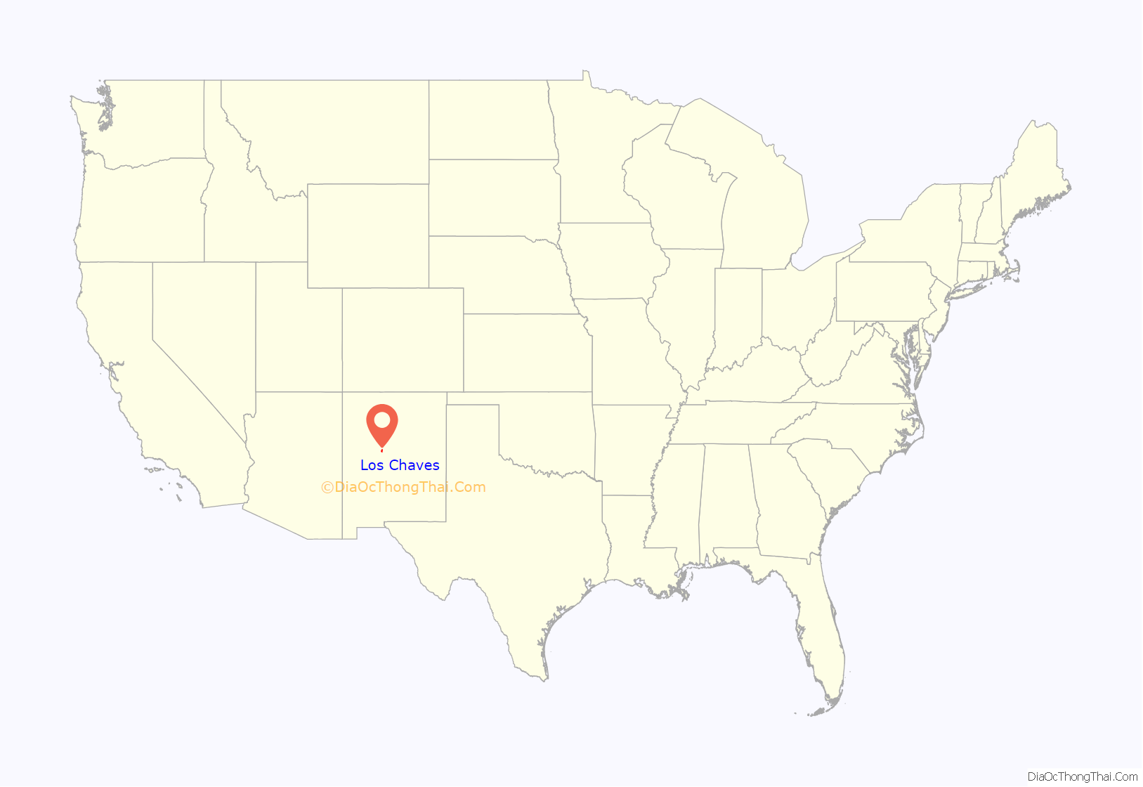
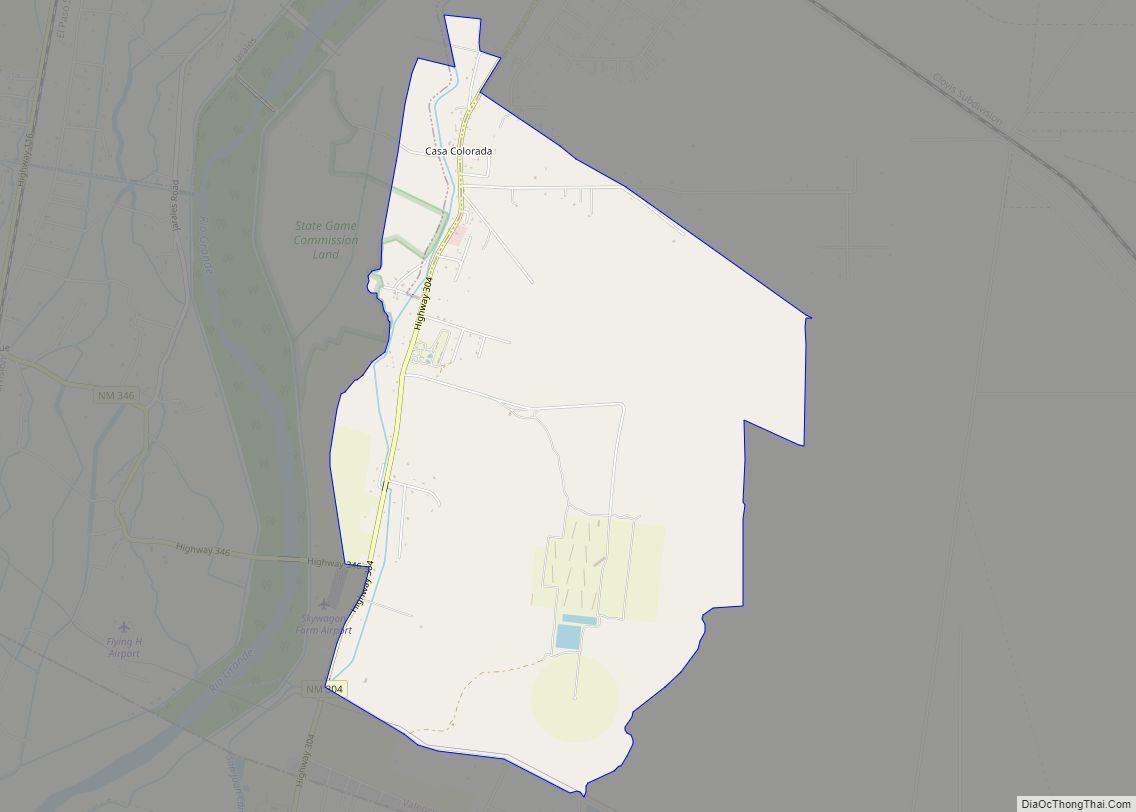
Los Chaves location map. Where is Los Chaves CDP?
History
The settlement of Los Chávez, on the west bank of the Río Grande, dates to a 1738 grant to Nicolás Durán y Chávez from Atrisco. In 1790, it consisted of six plazas (Julyan 1996:78; Espinosa and Chávez 1967:41- 43). It was included in the 1802 census (Olmsted 1981:139-140). In the autumn of 1847, a unit of the U.S. Army traveled south along the west bank of the Río Grande. Philip Gooch Ferguson reported that “the road most generally traveled” was on the east bank, but the west side of the river was better for water. Ferguson mentioned camping near a small town named “Plaza Chavez” (Bieber 1936:326-328).
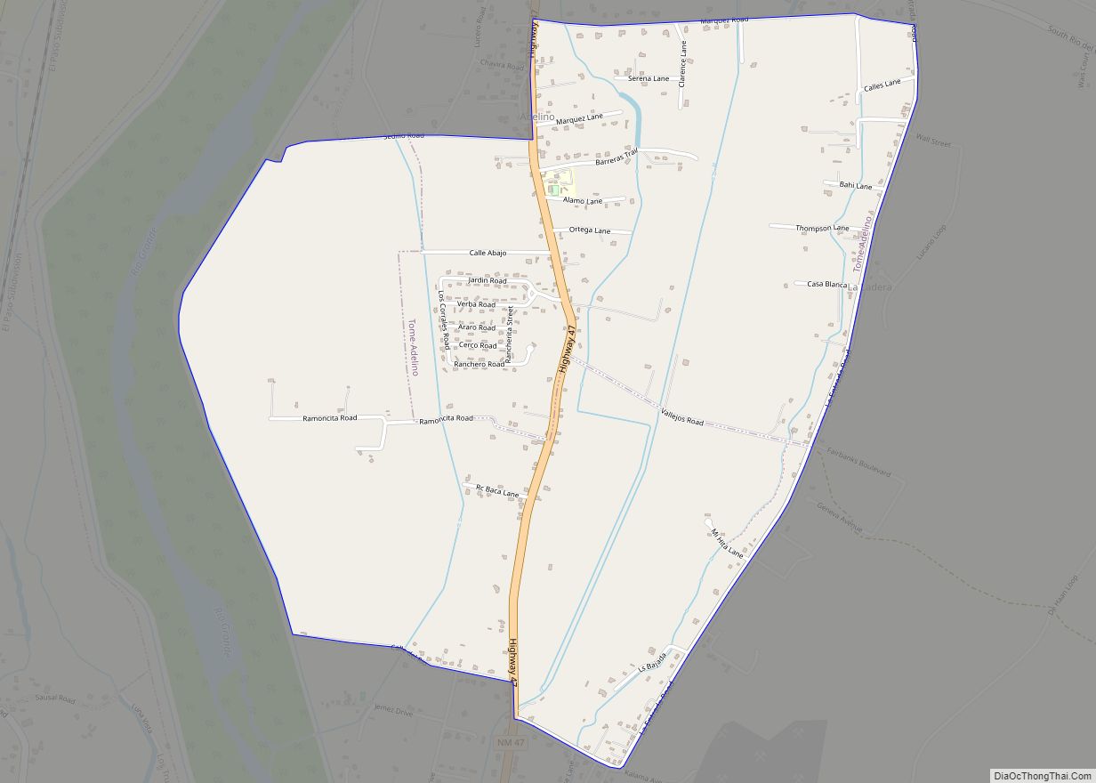
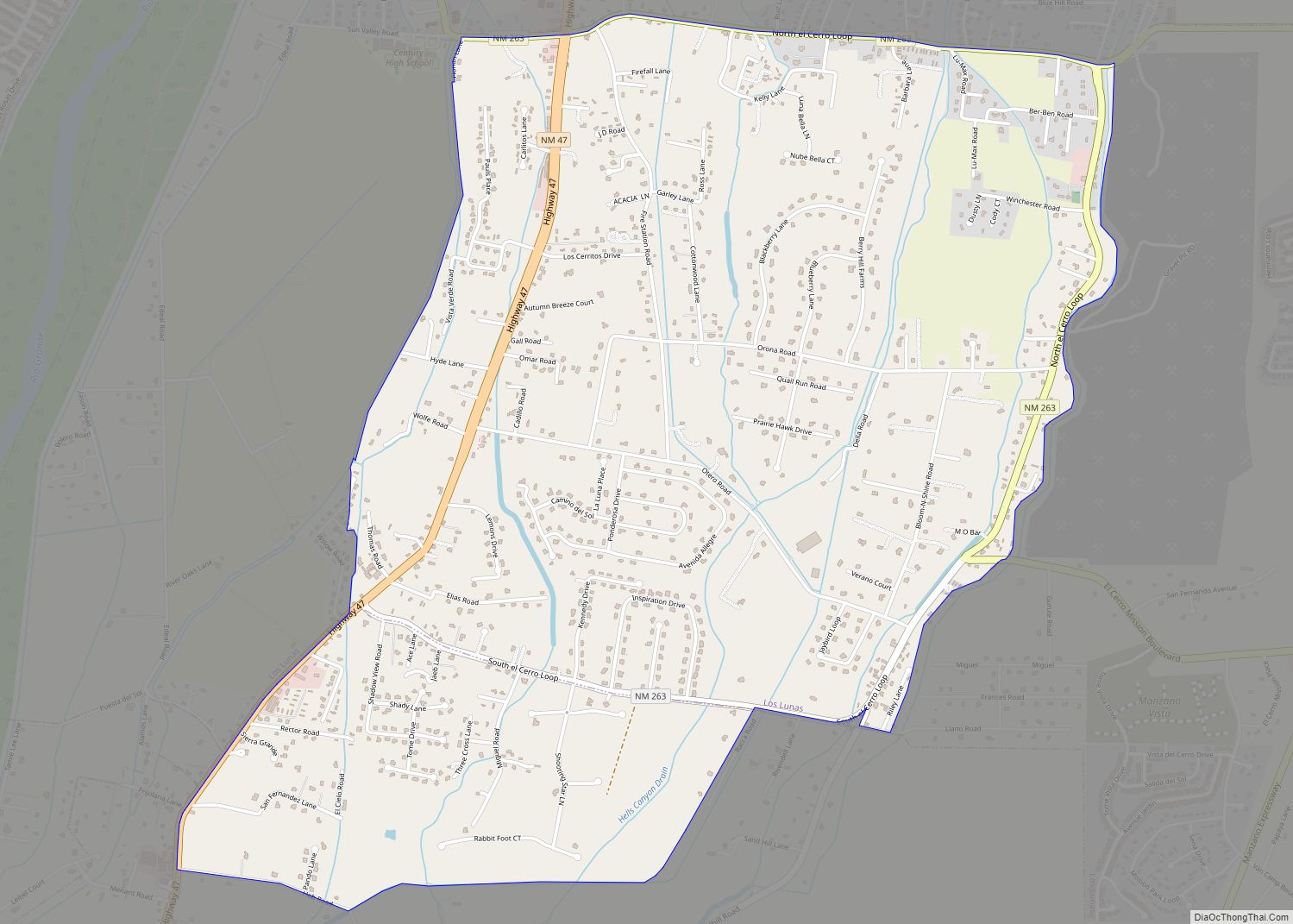
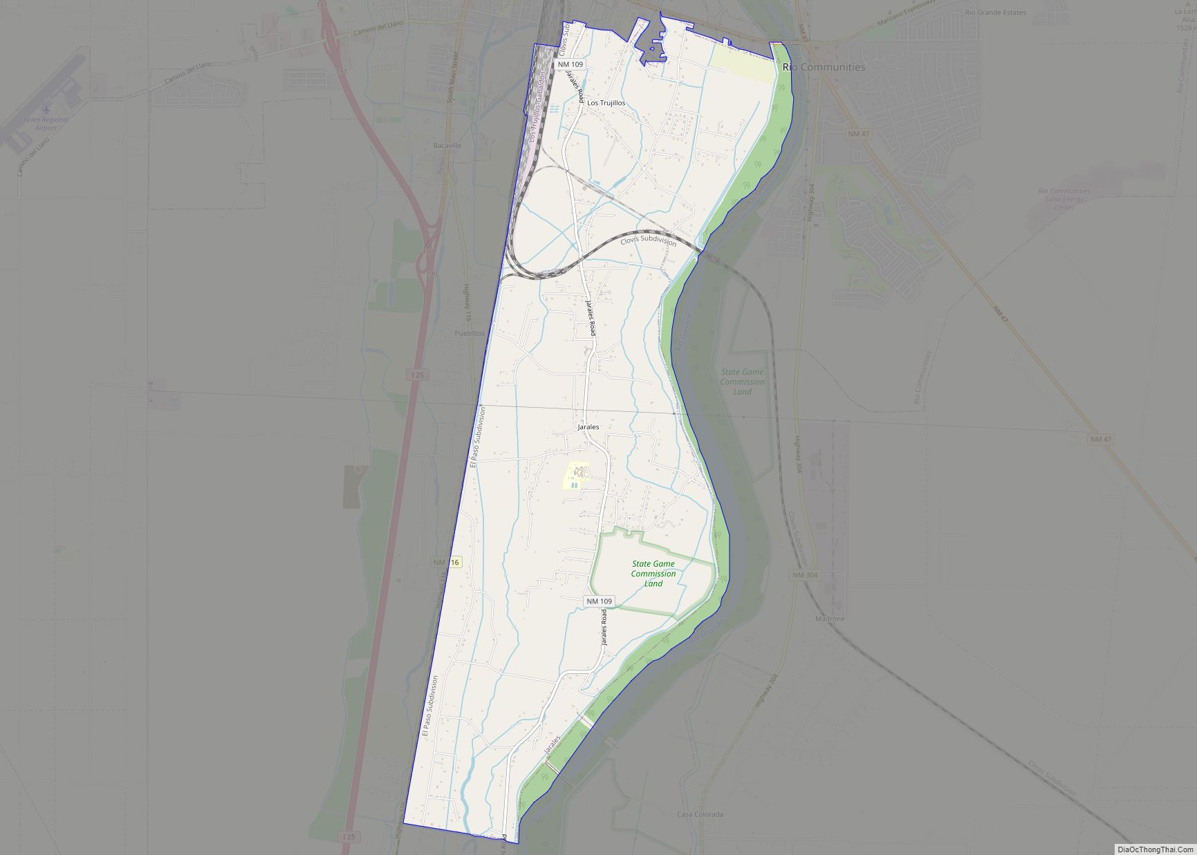
Los Chaves Road Map
Los Chaves city Satellite Map
Geography
Los Chavez is located at 34°44′13″N 106°45′23″W / 34.737033°N 106.756367°W / 34.737033; -106.756367.
According to the United States Census Bureau, the CDP has a total area of 10.2 square miles (26 km), all land.
See also
Map of New Mexico State and its subdivision: Map of other states:- Alabama
- Alaska
- Arizona
- Arkansas
- California
- Colorado
- Connecticut
- Delaware
- District of Columbia
- Florida
- Georgia
- Hawaii
- Idaho
- Illinois
- Indiana
- Iowa
- Kansas
- Kentucky
- Louisiana
- Maine
- Maryland
- Massachusetts
- Michigan
- Minnesota
- Mississippi
- Missouri
- Montana
- Nebraska
- Nevada
- New Hampshire
- New Jersey
- New Mexico
- New York
- North Carolina
- North Dakota
- Ohio
- Oklahoma
- Oregon
- Pennsylvania
- Rhode Island
- South Carolina
- South Dakota
- Tennessee
- Texas
- Utah
- Vermont
- Virginia
- Washington
- West Virginia
- Wisconsin
- Wyoming
