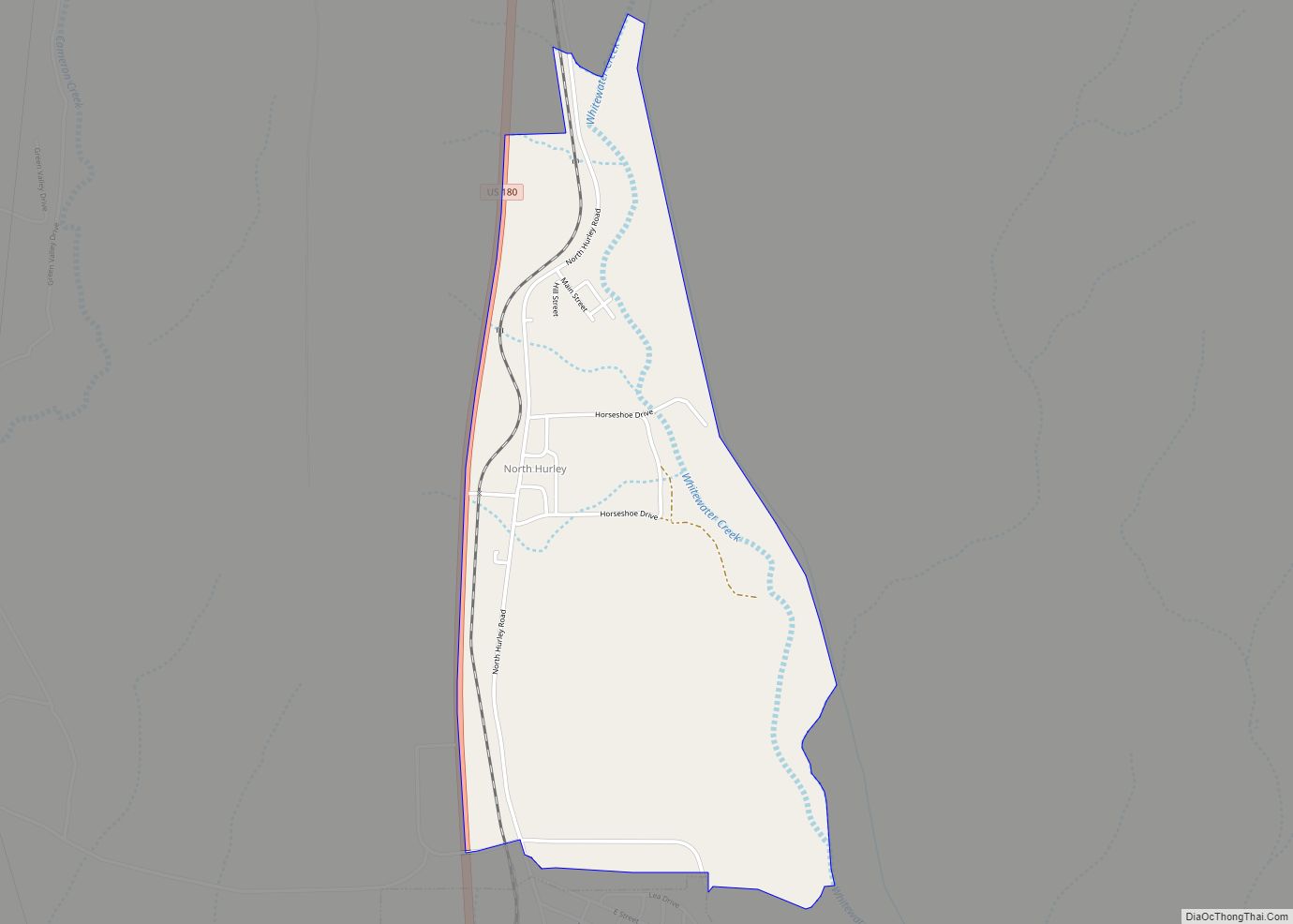
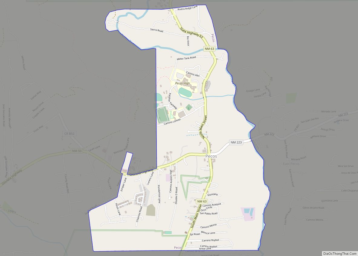
Map of Orogrande CDP

Map of Orogrande CDP

Orogrande is an unincorporated community in Otero County, New Mexico, United States, located at a latitude of 32.37111 and a longitude of -106.08389 in the Jarilla Mountains of the Tularosa Basin on U.S. 54 between El Paso, Texas and Alamogordo. Originally a mining town named Jarilla Junction due to its proximity to the Jarilla Mountains, … Read more

Map of Organ CDP

Map of Organ CDP

Organ is an unincorporated community and census-designated place in Doña Ana County, New Mexico, United States. As of the 2010 census, its population was 323. Organ CDP overview: Name: Organ CDP LSAD Code: 57 LSAD Description: CDP (suffix) State: New Mexico County: Doña Ana County Founded: 1883 Elevation: 5,084 ft (1,550 m) Total Area: 0.86 sq mi (2.23 km²) Land … Read more

Map of Peña Blanca CDP

Map of Peña Blanca CDP

Peña Blanca is a census-designated place (CDP) in Sandoval County, New Mexico. As of the 2000 census, the CDP population was 661. It is part of the Albuquerque Metropolitan Statistical Area. Peña Blanca’s name is derived from the Spanish term for “white rock”. Peña Blanca CDP overview: Name: Peña Blanca CDP LSAD Code: 57 LSAD … Read more

Map of Peralta town

Map of Peralta town

Peralta is a town in Valencia County, New Mexico, United States. Prior to its incorporation on July 1, 2007, it was a census-designated place (CDP). The population was 3,660 as of the 2010 census. Peralta is part of the Albuquerque metropolitan area. Peralta town overview: Name: Peralta town LSAD Code: 43 LSAD Description: town (suffix) … Read more

Map of Pecos village

Map of Pecos village, New Mexico

Pecos is a village in San Miguel County, New Mexico, United States. The population was 1,392 at the 2010 census, shrinking slower than other parts of San Miguel County, partly because Pecos is within commuting distance of Santa Fe. The village is built along the Pecos River, which flows from the north out of the … Read more

Map of Pecan Park CDP

Map of Pecan Park CDP

Pecan Park is a census-designated place in Luna County, New Mexico, United States. Its population was 75 as of the 2010 census. Like other areas in Luna County, the community is in the Deming Public Schools school district. Pecan Park CDP overview: Name: Pecan Park CDP LSAD Code: 57 LSAD Description: CDP (suffix) State: New … Read more

Map of Peak Place CDP

Map of Peak Place CDP

Peak Place is an unincorporated community and census-designated place in Santa Fe County, New Mexico, United States. Its population was 377 as of the 2010 census. Peak Place CDP overview: Name: Peak Place CDP LSAD Code: 57 LSAD Description: CDP (suffix) State: New Mexico County: Santa Fe County Elevation: 6,644 ft (2,025 m) Total Area: 1.31 sq mi (3.38 km²) … Read more

Map of Pastura CDP

Map of Pastura CDP

Pastura is a small unincorporated community and census-designated place (CDP) in Guadalupe County, New Mexico, United States, approximately halfway between Santa Rosa and Vaughn. As of the 2010 census it had a population of 23. Pastura CDP overview: Name: Pastura CDP LSAD Code: 57 LSAD Description: CDP (suffix) State: New Mexico County: Guadalupe County Elevation: … Read more

Map of Paraje CDP

Map of Paraje CDP

Paraje is a census-designated place (CDP) in Cibola County, New Mexico, United States. As of the 2010 census, the CDP population was 777. Paraje CDP overview: Name: Paraje CDP LSAD Code: 57 LSAD Description: CDP (suffix) State: New Mexico County: Cibola County Elevation: 5,948 ft (1,813 m) Total Area: 5.58 sq mi (14.44 km²) Land Area: 5.58 sq mi (14.44 km²) Water Area: … Read more

Map of Paradise Hills CDP

Map of Paradise Hills CDP

Paradise Hills is a census-designated place (CDP) in Bernalillo County, New Mexico, United States. The population was 4,256 at the 2010 census. It is part of the Albuquerque Metropolitan Statistical Area. Paradise Hills CDP overview: Name: Paradise Hills CDP LSAD Code: 57 LSAD Description: CDP (suffix) State: New Mexico County: Bernalillo County Elevation: 5,315 ft (1,620 m) … Read more

Map of Pajarito Mesa CDP

Map of Pajarito Mesa CDP

Pajarito Mesa is a census-designated place in Bernalillo County, New Mexico, United States. At the 2010 census, the population was 579. It is part of the Albuquerque Metropolitan Statistical Area. Pajarito Mesa is an informal settlement lacking basic services including electricity, running water, and formal roads, and existing largely outside of government regulation. It does … Read more

Map of Paguate CDP

Map of Paguate CDP

Paguate is a census-designated place (CDP) in Cibola County, New Mexico, United States. The population was 421 at the 2010 census. Paguate CDP overview: Name: Paguate CDP LSAD Code: 57 LSAD Description: CDP (suffix) State: New Mexico County: Cibola County Elevation: 6,148 ft (1,874 m) Total Area: 4.87 sq mi (12.62 km²) Land Area: 4.87 sq mi (12.61 km²) Water Area: 0.00 sq mi (0.01 km²) … Read more