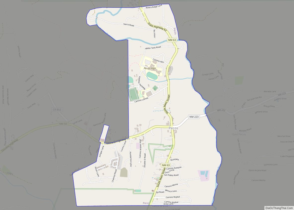
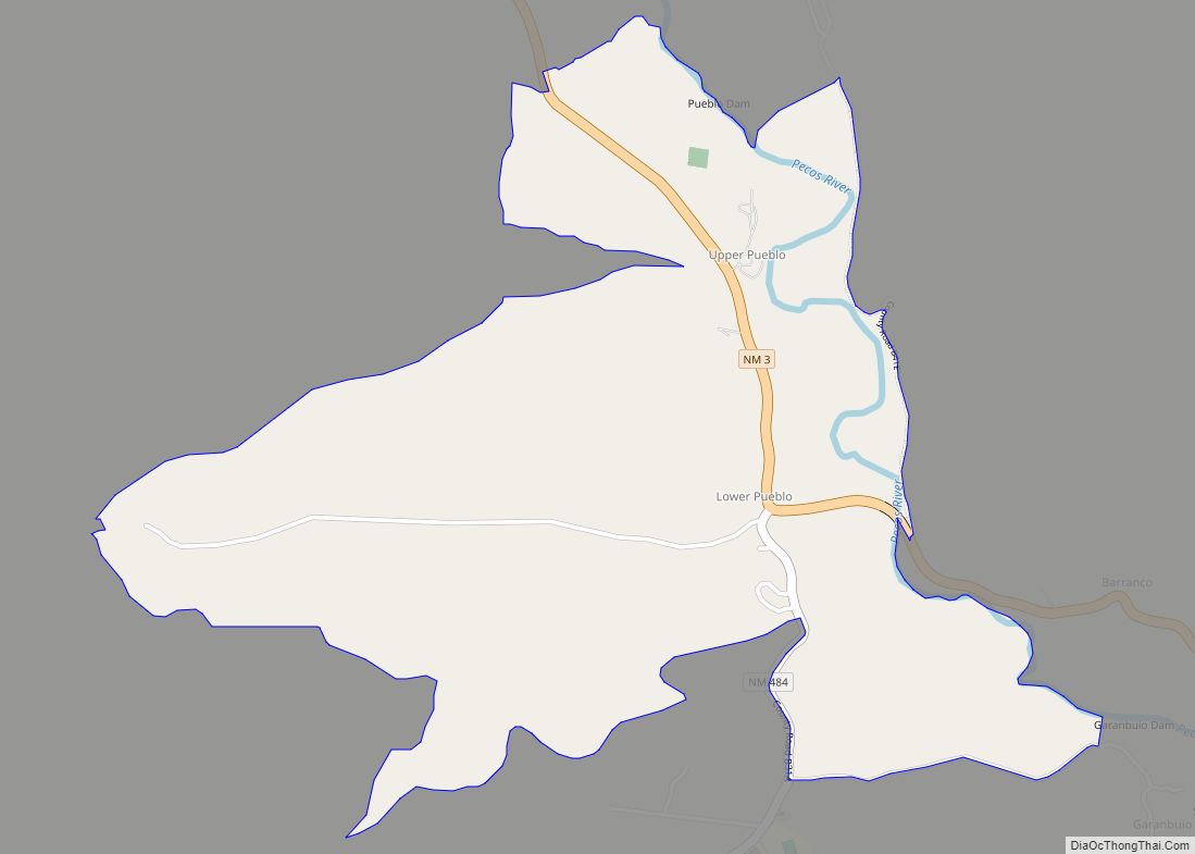
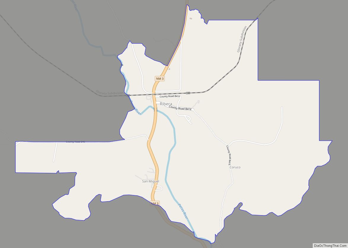
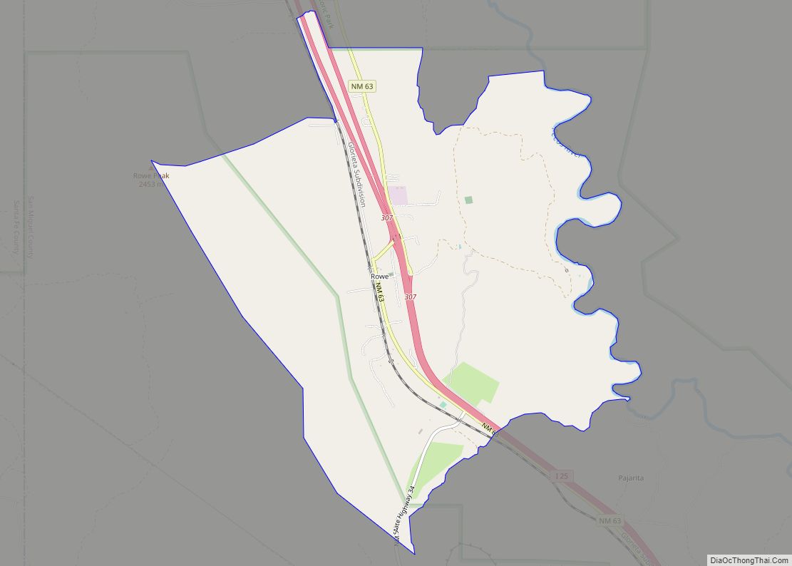
Pecos is a village in San Miguel County, New Mexico, United States. The population was 1,392 at the 2010 census, shrinking slower than other parts of San Miguel County, partly because Pecos is within commuting distance of Santa Fe. The village is built along the Pecos River, which flows from the north out of the Santa Fe National Forest. Notable locations nearby include Pecos National Historical Park, Glorieta Pass, Pecos Benedictine Monastery, and Lisboa Springs Trout Hatchery. It is also an entry point for hunting, fishing, hiking and camping in the Pecos Wilderness. The closest metropolitan area is the Santa Fe metropolitan area, approximately 26 miles (42 km) to the west.
| Name: | Pecos village |
|---|---|
| LSAD Code: | 47 |
| LSAD Description: | village (suffix) |
| State: | New Mexico |
| County: | San Miguel County |
| Elevation: | 6,923 ft (2,110 m) |
| Total Area: | 1.77 sq mi (4.60 km²) |
| Land Area: | 1.77 sq mi (4.60 km²) |
| Water Area: | 0.00 sq mi (0.00 km²) |
| Total Population: | 1,392 |
| Population Density: | 784.23/sq mi (302.76/km²) |
| ZIP code: | 87552 |
| Area code: | 505 |
| FIPS code: | 3555620 |
| GNISfeature ID: | 0915876 |
Online Interactive Map
Click on ![]() to view map in "full screen" mode.
to view map in "full screen" mode.
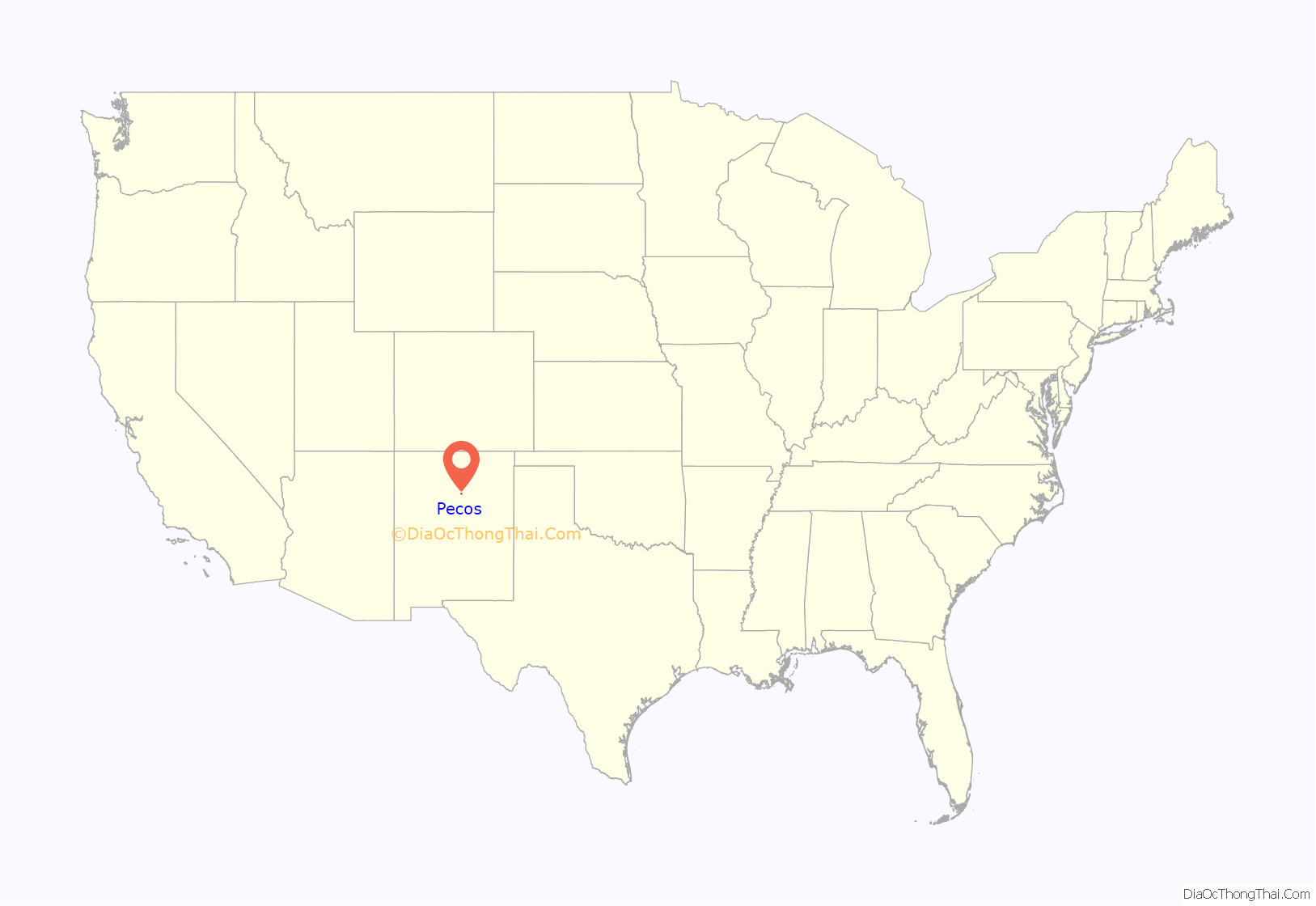
Pecos location map. Where is Pecos village?
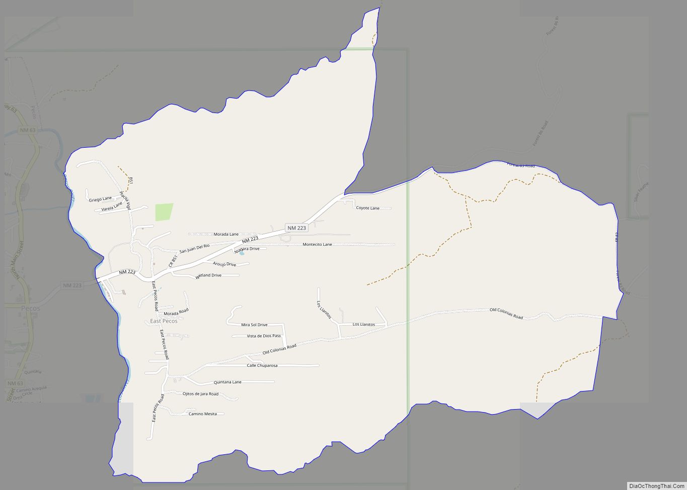
Pecos Road Map
Pecos city Satellite Map
Geography
Pecos is located at 35°34′51″N 105°40′43″W / 35.58083°N 105.67861°W / 35.58083; -105.67861 (35.580954, -105.678660).
According to the United States Census Bureau, the village has a total area of 1.7 square miles (4.4 km), all land.
See also
Map of New Mexico State and its subdivision: Map of other states:- Alabama
- Alaska
- Arizona
- Arkansas
- California
- Colorado
- Connecticut
- Delaware
- District of Columbia
- Florida
- Georgia
- Hawaii
- Idaho
- Illinois
- Indiana
- Iowa
- Kansas
- Kentucky
- Louisiana
- Maine
- Maryland
- Massachusetts
- Michigan
- Minnesota
- Mississippi
- Missouri
- Montana
- Nebraska
- Nevada
- New Hampshire
- New Jersey
- New Mexico
- New York
- North Carolina
- North Dakota
- Ohio
- Oklahoma
- Oregon
- Pennsylvania
- Rhode Island
- South Carolina
- South Dakota
- Tennessee
- Texas
- Utah
- Vermont
- Virginia
- Washington
- West Virginia
- Wisconsin
- Wyoming
