Pajarito Mesa is a census-designated place in Bernalillo County, New Mexico, United States. At the 2010 census, the population was 579. It is part of the Albuquerque Metropolitan Statistical Area.
Pajarito Mesa is an informal settlement lacking basic services including electricity, running water, and formal roads, and existing largely outside of government regulation. It does not meet the U.S. government definition of a colonia because it is more than 150 miles (240 km) from the U.S.–Mexico border, but otherwise exhibits the same features as a colonia. The mesa was first settled in the 1970s and the population had grown to about 250 families by 2013.
| Name: | Pajarito Mesa CDP |
|---|---|
| LSAD Code: | 57 |
| LSAD Description: | CDP (suffix) |
| State: | New Mexico |
| County: | Bernalillo County |
| Elevation: | 5,480 ft (1,670 m) |
| Total Area: | 21.27 sq mi (55.09 km²) |
| Land Area: | 21.27 sq mi (55.09 km²) |
| Water Area: | 0.00 sq mi (0.00 km²) |
| Total Population: | 260 |
| Population Density: | 12.22/sq mi (4.72/km²) |
| Area code: | 505 |
| FIPS code: | 3554940 |
| GNISfeature ID: | 2584171 |
Online Interactive Map
Click on ![]() to view map in "full screen" mode.
to view map in "full screen" mode.
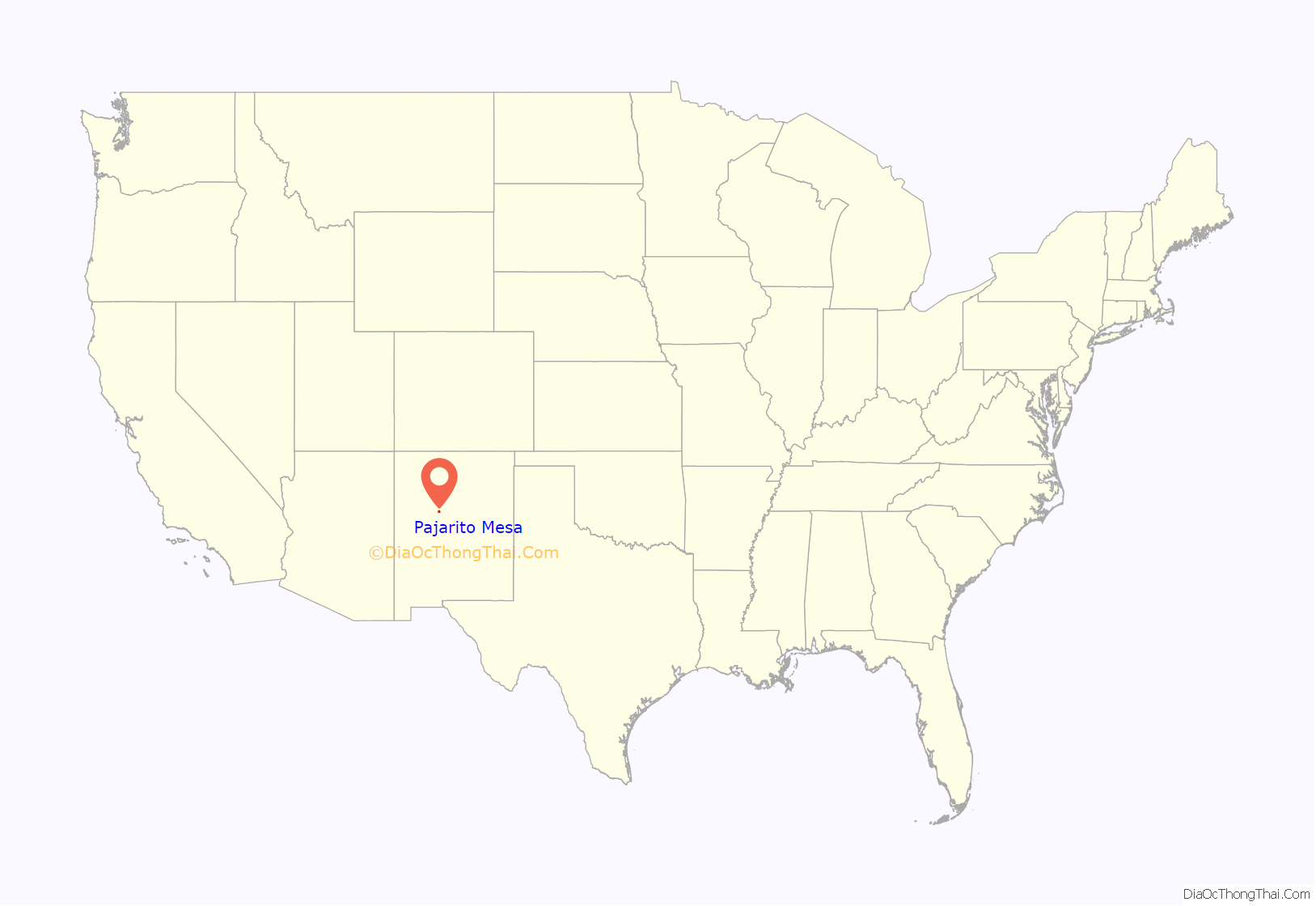
Pajarito Mesa location map. Where is Pajarito Mesa CDP?
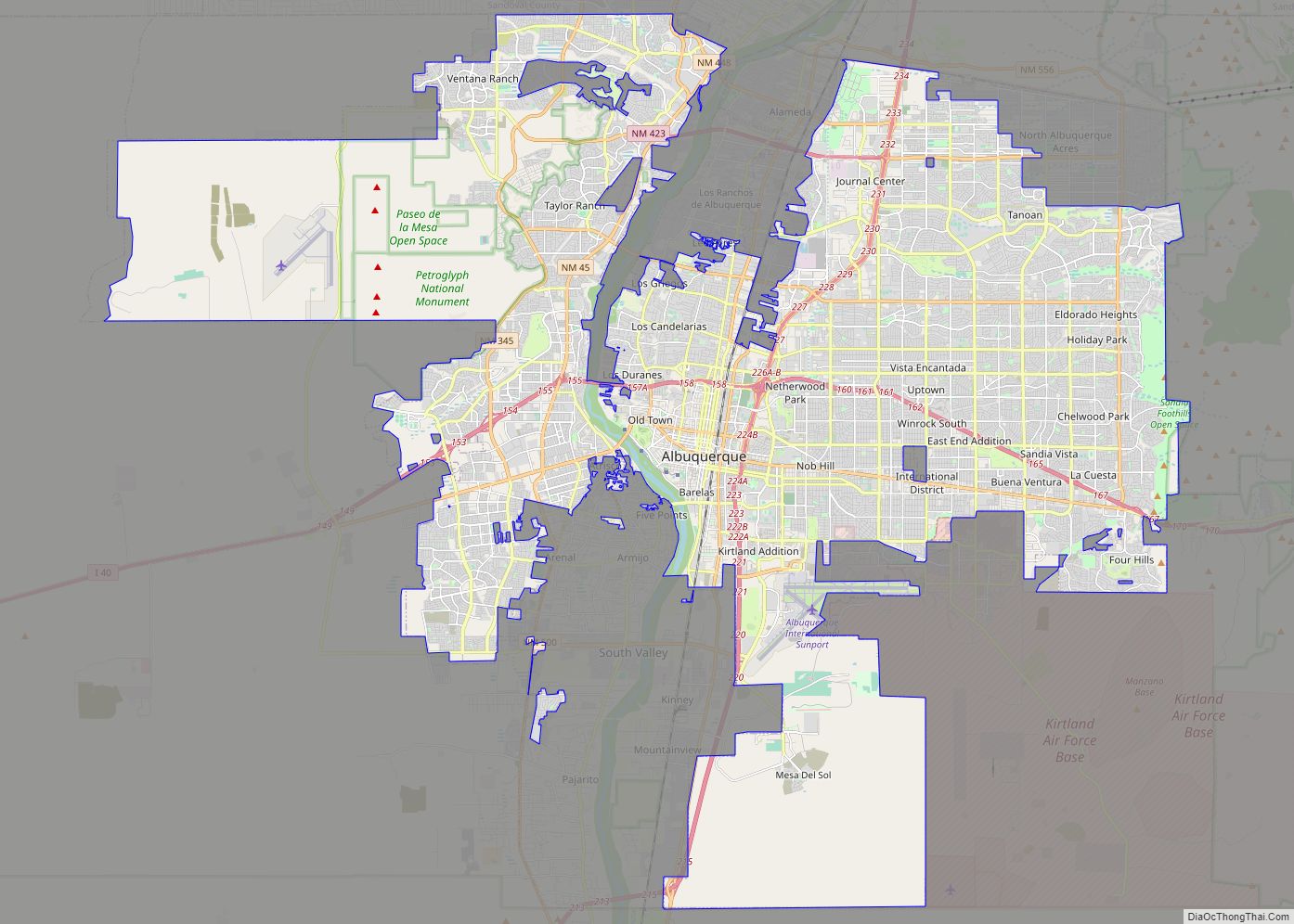
Pajarito Mesa Road Map
Pajarito Mesa city Satellite Map
Geography
Pajarito Mesa is located on a mesa between the Rio Grande and Rio Puerco valleys, about 10 miles (16 km) southwest of central Albuquerque.
According to the United States Census Bureau, the CDP has a total area of 12.5 square miles (32.4 km), all land.
See also
Map of New Mexico State and its subdivision: Map of other states:- Alabama
- Alaska
- Arizona
- Arkansas
- California
- Colorado
- Connecticut
- Delaware
- District of Columbia
- Florida
- Georgia
- Hawaii
- Idaho
- Illinois
- Indiana
- Iowa
- Kansas
- Kentucky
- Louisiana
- Maine
- Maryland
- Massachusetts
- Michigan
- Minnesota
- Mississippi
- Missouri
- Montana
- Nebraska
- Nevada
- New Hampshire
- New Jersey
- New Mexico
- New York
- North Carolina
- North Dakota
- Ohio
- Oklahoma
- Oregon
- Pennsylvania
- Rhode Island
- South Carolina
- South Dakota
- Tennessee
- Texas
- Utah
- Vermont
- Virginia
- Washington
- West Virginia
- Wisconsin
- Wyoming
