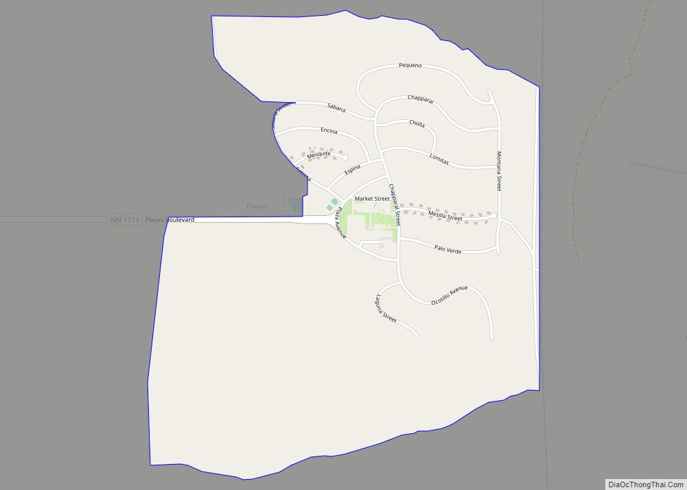
Playas is a census-designated place (CDP) in Hidalgo County, New Mexico, United States. As of the 2010 census it had a population of 74. Playas CDP overview: Name: Playas CDP LSAD Code: 57 LSAD Description: CDP (suffix) State: New Mexico County: Hidalgo County Elevation: 4,498 ft (1,371 m) Total Area: 1.86 sq mi (4.83 km²) Land Area: 1.86 sq mi (4.83 km²) Water ... Read more
New Mexico Cities and Places
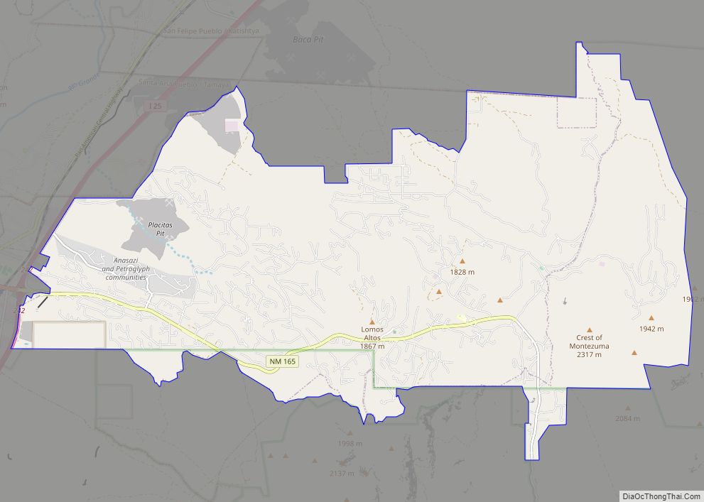
Placitas is a census-designated place (CDP) in Sandoval County, New Mexico, United States. As of the 2010 census, its population was 4,977. It is part of the Albuquerque Metropolitan Statistical Area. Placitas CDP overview: Name: Placitas CDP LSAD Code: 57 LSAD Description: CDP (suffix) State: New Mexico County: Sandoval County Elevation: 5,955 ft (1,815 m) Total Area: ... Read more
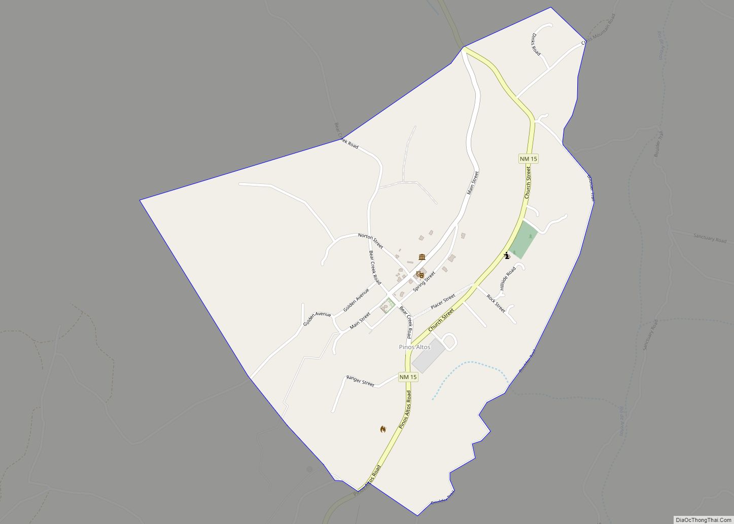
Pinos Altos CDP overview: Name: Pinos Altos CDP LSAD Code: 57 LSAD Description: CDP (suffix) State: New Mexico County: Grant County FIPS code: 3557510 Online Interactive Map Pinos Altos online map. Source: Basemap layers from Google Map, Open Street Map (OSM), Arcgisonline, Wmflabs. Boundary Data from Database of Global Administrative Areas. Pinos Altos location map. ... Read more
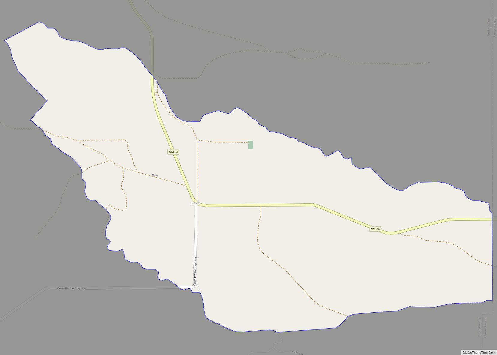
Pinon CDP overview: Name: Pinon CDP LSAD Code: 57 LSAD Description: CDP (suffix) State: New Mexico County: Otero County FIPS code: 3557440 Online Interactive Map Pinon online map. Source: Basemap layers from Google Map, Open Street Map (OSM), Arcgisonline, Wmflabs. Boundary Data from Database of Global Administrative Areas. Pinon location map. Where is Pinon CDP? ... Read more
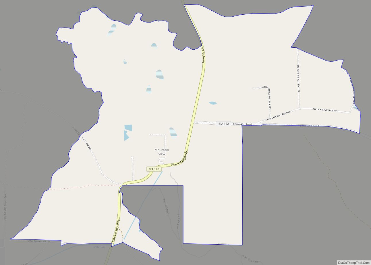
Pinehill or Pine Hill is a census-designated place in Cibola County, New Mexico, United States. It is located on the Ramah Navajo Indian Reservation. The population was 88 at the 2010 census. The location of the CDP in 2010 had become the location of the Mountain View CDP as of the 2020 census, while a ... Read more
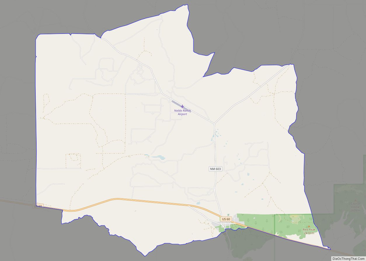
Pie Town is an unincorporated community and census-designated place located along U.S. Highway 60 in Catron County, New Mexico, United States. As of the 2010 census, it had a population of 186. Pie Town’s name comes from an early bakery that specialized in dried-apple pies; it was established by Clyde Norman in the early 1920s. ... Read more
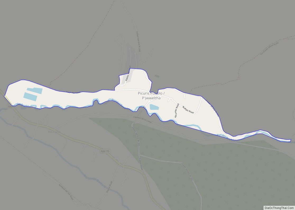
Picuris Pueblo (/pɪkəˈriːs/; Tiwa: P’įwweltha [p’ī̃wːēltʰà]) is a historic pueblo in Taos County, New Mexico, United States. It is also a census-designated place (CDP) and a federally recognized tribe of Native American Pueblo people. The 2010 census estimated that 68 people lived in the CDP, while 267 people in the U.S. reported being of the ... Read more
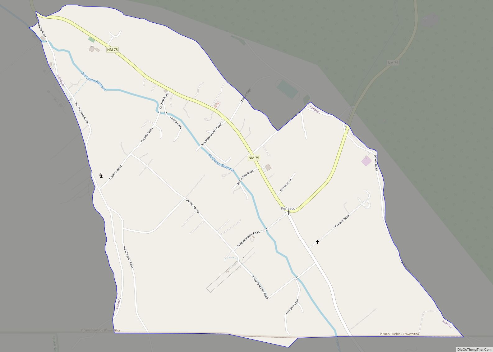
Peñasco is a census-designated place (CDP) in Taos County, New Mexico. It is located along the scenic High Road to Taos. The population is estimated at 1,200 (2015). Peñasco CDP overview: Name: Peñasco CDP LSAD Code: 57 LSAD Description: CDP (suffix) State: New Mexico County: Taos County Total Area: 1.22 sq mi (3.15 km²) Land Area: 1.22 sq mi (3.15 km²) ... Read more
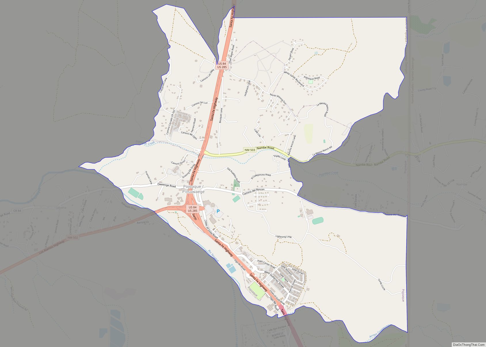
Pojoaque (/pəˈwɑːkiː/; Tewa: Pʼohsųwæ̨geh Ówîngeh/P’osuwaege Owingeh [p’òhsũ̀wæ̃̀gè ʔówîŋgè]), Po’su wae geh, which translates to “water gathering place”, is a census-designated place (CDP) in Santa Fe County, New Mexico, United States. It is part of the Santa Fe, New Mexico Metropolitan Statistical Area. The population was 1,907 at the 2010 census. Pojoaque Pueblo, a neighboring community, ... Read more
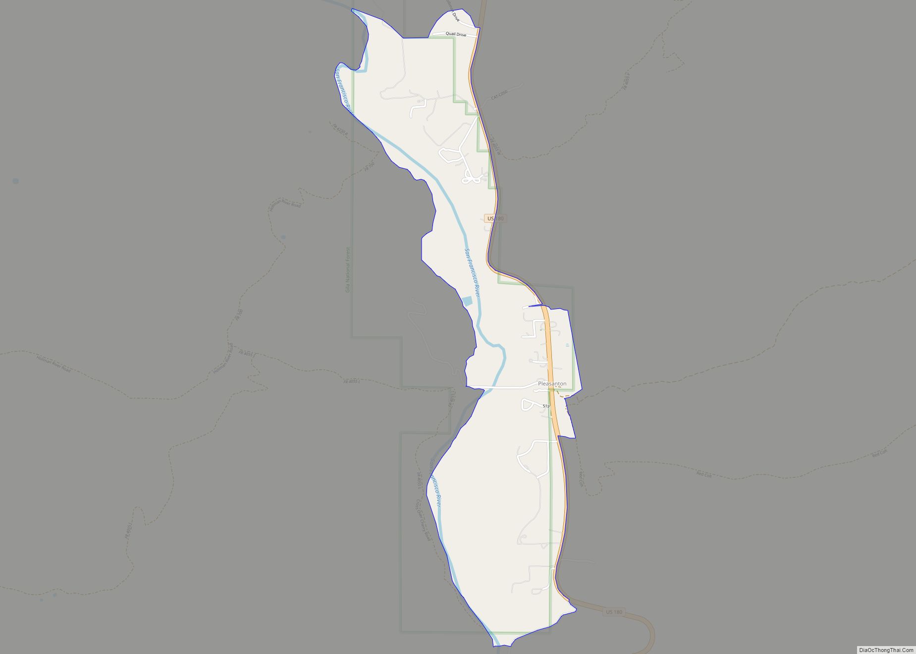
Pleasanton is a census-designated place in the Williams Valley of Catron County, south of Glenwood and north of Cliff, in the U.S. state of New Mexico. As of the 2010 census it had a population of 106. It was renowned as a safehaven for Mormon polygamists for several years. Pleasanton CDP overview: Name: Pleasanton CDP ... Read more
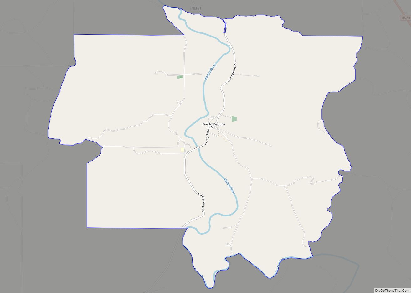
Puerto de Luna is a census-designated place (CDP) in Guadalupe County, New Mexico, United States. It lies approximately 9+1⁄2 miles (15.3 km) south-southeast of Santa Rosa on New Mexico State Road 91 and on the bank of the Pecos River. The community is located west of, but not within, the Llano Estacado of Eastern New Mexico ... Read more
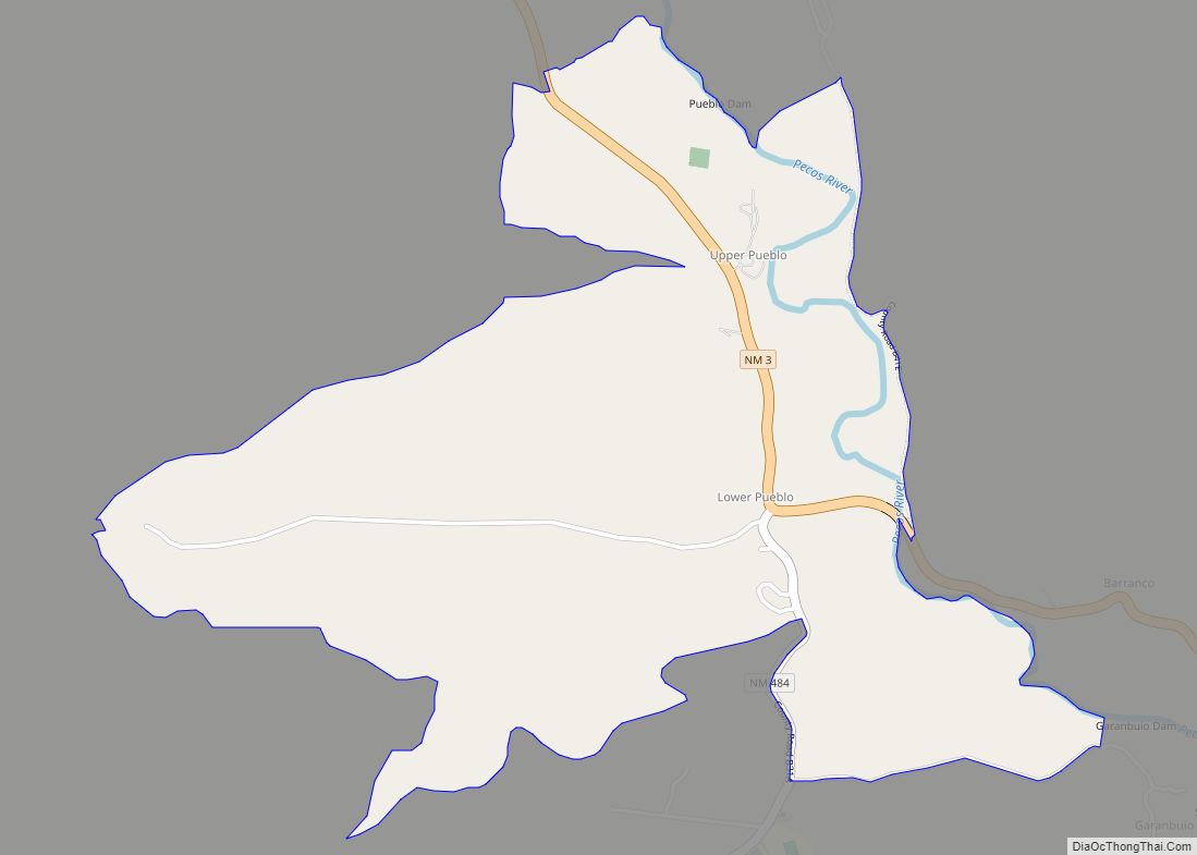
Pueblo is an unincorporated community and census-designated place in San Miguel County, New Mexico, United States. Its population was 125 as of the 2010 census. New Mexico State Road 3 passes through the community. Pueblo CDP overview: Name: Pueblo CDP LSAD Code: 57 LSAD Description: CDP (suffix) State: New Mexico County: San Miguel County Elevation: ... Read more
