Map of Sandia Park CDP

Map of Sandia Park CDP

Sandia Park is a census-designated place in Bernalillo County, New Mexico, United States. Its population was 237 as of the 2010 census and 265 as of the 2020 census. Sandia Park has a post office with ZIP code 87047. Tinkertown Museum is an attraction in the area. Sandia Park CDP overview: Name: Sandia Park CDP … Read more

Map of Sandia Knolls CDP

Map of Sandia Knolls CDP

Sandia Knolls is a census-designated place (CDP) in Bernalillo County, New Mexico, United States. The population was 1,208 at the 2010 census. It is part of the Albuquerque Metropolitan Statistical Area. Sandia Knolls CDP overview: Name: Sandia Knolls CDP LSAD Code: 57 LSAD Description: CDP (suffix) State: New Mexico County: Bernalillo County Elevation: 6,820 ft (2,080 m) … Read more

Map of Sandia Heights CDP

Map of Sandia Heights CDP

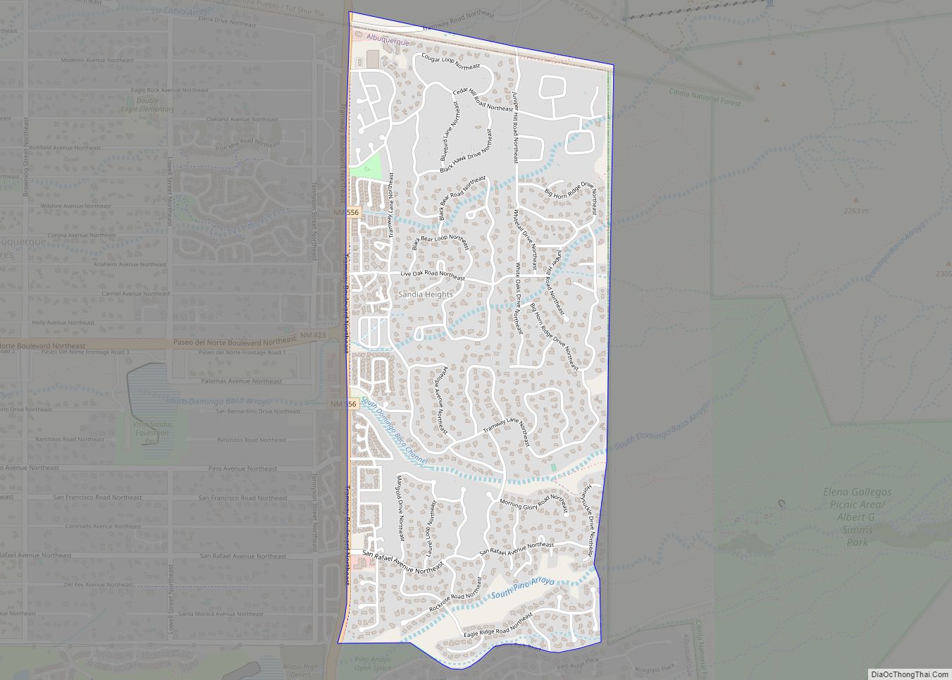
Sandia Heights is a census-designated place (CDP) in Bernalillo County, New Mexico, United States. The population was 10,293 at the 2010 census. It is part of the Albuquerque Metropolitan Statistical Area. Sandia Heights CDP overview: Name: Sandia Heights CDP LSAD Code: 57 LSAD Description: CDP (suffix) State: New Mexico County: Bernalillo County Elevation: 6,180 ft (1,880 m) … Read more

Map of San Ysidro CDP

Map of San Ysidro CDP

San Ysidro is a census-designated place in Doña Ana County, New Mexico. Its population was 2,090 as of the 2010 census. San Ysidro CDP overview: Name: San Ysidro CDP LSAD Code: 57 LSAD Description: CDP (suffix) State: New Mexico County: Doña Ana County Elevation: 3,918 ft (1,194 m) Total Area: 2.645 sq mi (6.85 km²) Land Area: 2.645 sq mi (6.85 km²) Water … Read more

Map of San Rafael CDP, New Mexico

Map of San Rafael CDP, New Mexico

San Rafael is a census-designated place (CDP) in Cibola County, New Mexico, United States. As of the 2010 census it had a population of 933. Also known as “Bikyaya” or “El Gallo”, it lies at an elevation of 6,470 feet (1,970 m) above sea level and is located in north-central Cibola County at (35.1125386, -107.8825580). New … Read more

Map of San Pedro CDP

Map of San Pedro CDP, New Mexico

San Pedro is an unincorporated community and census-designated place in Santa Fe County, New Mexico, United States. Its population was 184 as of the 2010 census. New Mexico State Road 344 passes through the community. San Pedro CDP overview: Name: San Pedro CDP LSAD Code: 57 LSAD Description: CDP (suffix) State: New Mexico County: Santa … Read more

Map of San Pablo CDP, New Mexico

Map of San Pablo CDP, New Mexico

San Pablo is a census-designated place in Doña Ana County, New Mexico, United States. Its population was 806 as of the 2010 census. The community is located south of Las Cruces along New Mexico State Road 28. San Pablo CDP overview: Name: San Pablo CDP LSAD Code: 57 LSAD Description: CDP (suffix) State: New Mexico … Read more

Map of Santa Clara Pueblo CDP

Map of Santa Clara Pueblo CDP

Santa Clara Pueblo (in Tewa: Khaʼpʼoe Ówîngeh [xɑ̀ʔp’òː ʔówîŋgè]) ″Singing Water Village″, also known as ″Village of Wild Roses″ is a census-designated place (CDP) in Rio Arriba County, New Mexico, United States and a federally recognized tribe of Native American Pueblo people. The pueblo is a member of the Eight Northern Pueblos, and the people … Read more

Map of Santa Ana Pueblo CDP

Map of Santa Ana Pueblo CDP

Santa Ana Pueblo (Eastern Keres: Tamaya [tʰɑmɑjːɑ]) is a census-designated place (CDP) in Sandoval County, New Mexico, United States. As of the 2000 census, the CDP had a total population of 479. It is part of the Albuquerque Metropolitan Statistical Area. The Pueblo, named Tamaya in Keres, administers a total reservation land of 73,000 acres … Read more

Map of Sanostee CDP

Map of Sanostee CDP

Sanostee (Navajo: Tséʼałnáoztʼiʼí) is a census-designated place (CDP) in San Juan County, New Mexico, United States. The population was 429 at the 2000 census. It is part of the Farmington Metropolitan Statistical Area. Sanostee CDP overview: Name: Sanostee CDP LSAD Code: 57 LSAD Description: CDP (suffix) State: New Mexico County: San Juan County Elevation: 6,007 ft … Read more

Map of Sena CDP

Map of Sena CDP

Sena is an unincorporated community and census-designated place in San Miguel County, New Mexico, United States. It is located along the Pecos River and New Mexico State Highway 3. Sena CDP overview: Name: Sena CDP LSAD Code: 57 LSAD Description: CDP (suffix) State: New Mexico County: San Miguel County Elevation: 5,876 ft (1,791 m) Total Area: 2.13 sq mi … Read more

Map of Sedillo CDP

Map of Sedillo CDP

Sedillo is a census-designated place in Bernalillo County, New Mexico, United States. Its population was 802 as of the 2010 census. The community is located along Interstate 40. Sedillo CDP overview: Name: Sedillo CDP LSAD Code: 57 LSAD Description: CDP (suffix) State: New Mexico County: Bernalillo County Elevation: 6,955 ft (2,120 m) Total Area: 2.75 sq mi (7.11 km²) Land … Read more