Santa Ana Pueblo (Eastern Keres: Tamaya [tʰɑmɑjːɑ]) is a census-designated place (CDP) in Sandoval County, New Mexico, United States. As of the 2000 census, the CDP had a total population of 479. It is part of the Albuquerque Metropolitan Statistical Area. The Pueblo, named Tamaya in Keres, administers a total reservation land of 73,000 acres (295 km) in the Rio Grande valley and is composed of Native Americans who speak an eastern dialect of the Keresan languages.
The pueblo celebrates an annual feast day for its patron saint, St. Anne, on July 26.
| Name: | Santa Ana Pueblo CDP |
|---|---|
| LSAD Code: | 57 |
| LSAD Description: | CDP (suffix) |
| State: | New Mexico |
| County: | Sandoval County |
| FIPS code: | 3570250 |
Online Interactive Map
Click on ![]() to view map in "full screen" mode.
to view map in "full screen" mode.
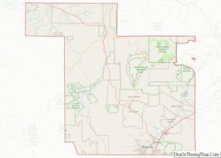
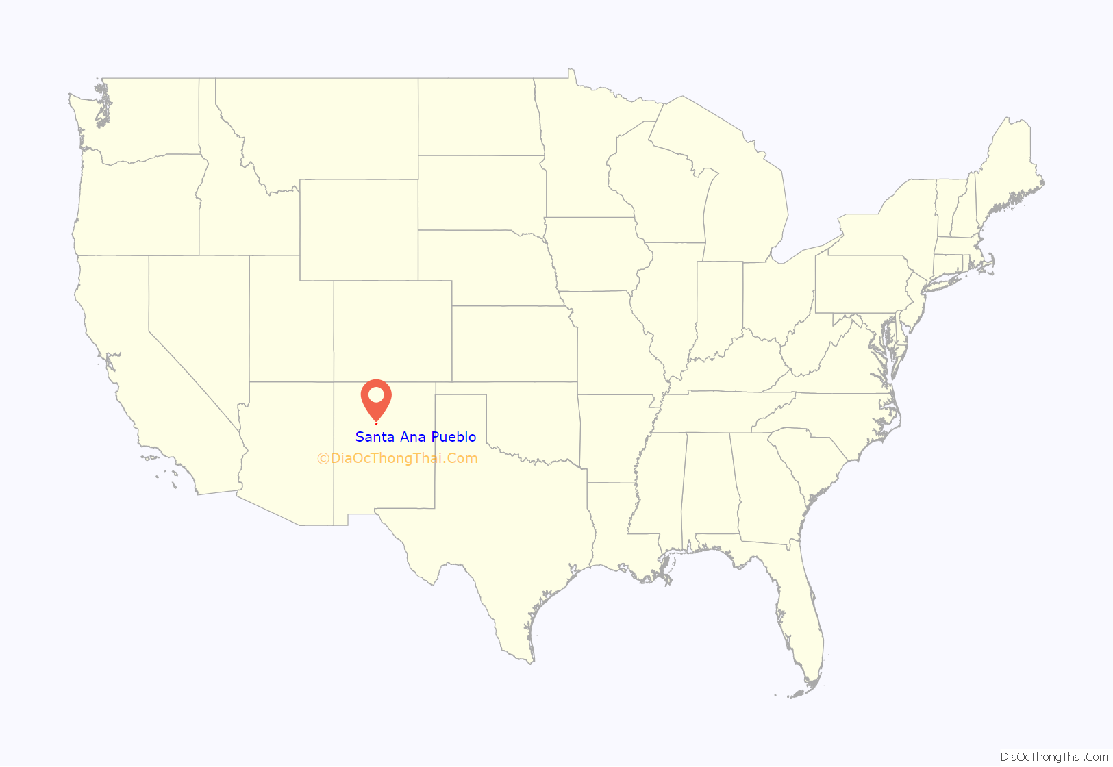
Santa Ana Pueblo location map. Where is Santa Ana Pueblo CDP?
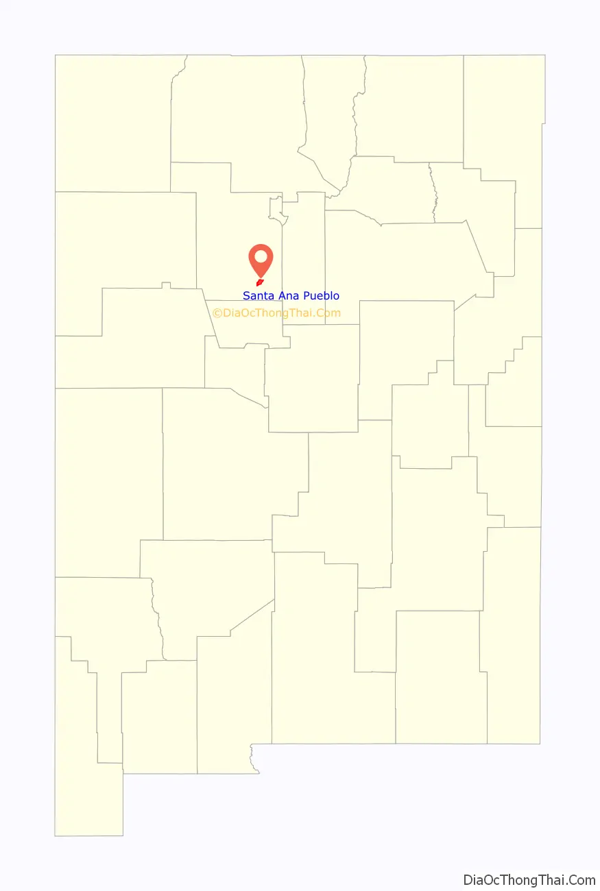
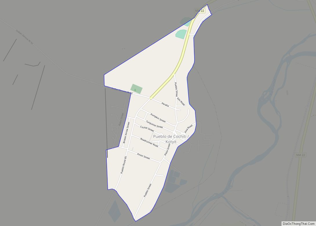
Santa Ana Pueblo Road Map
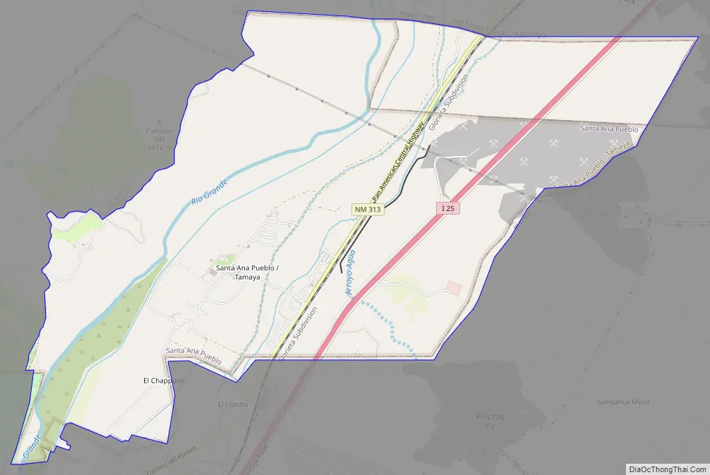
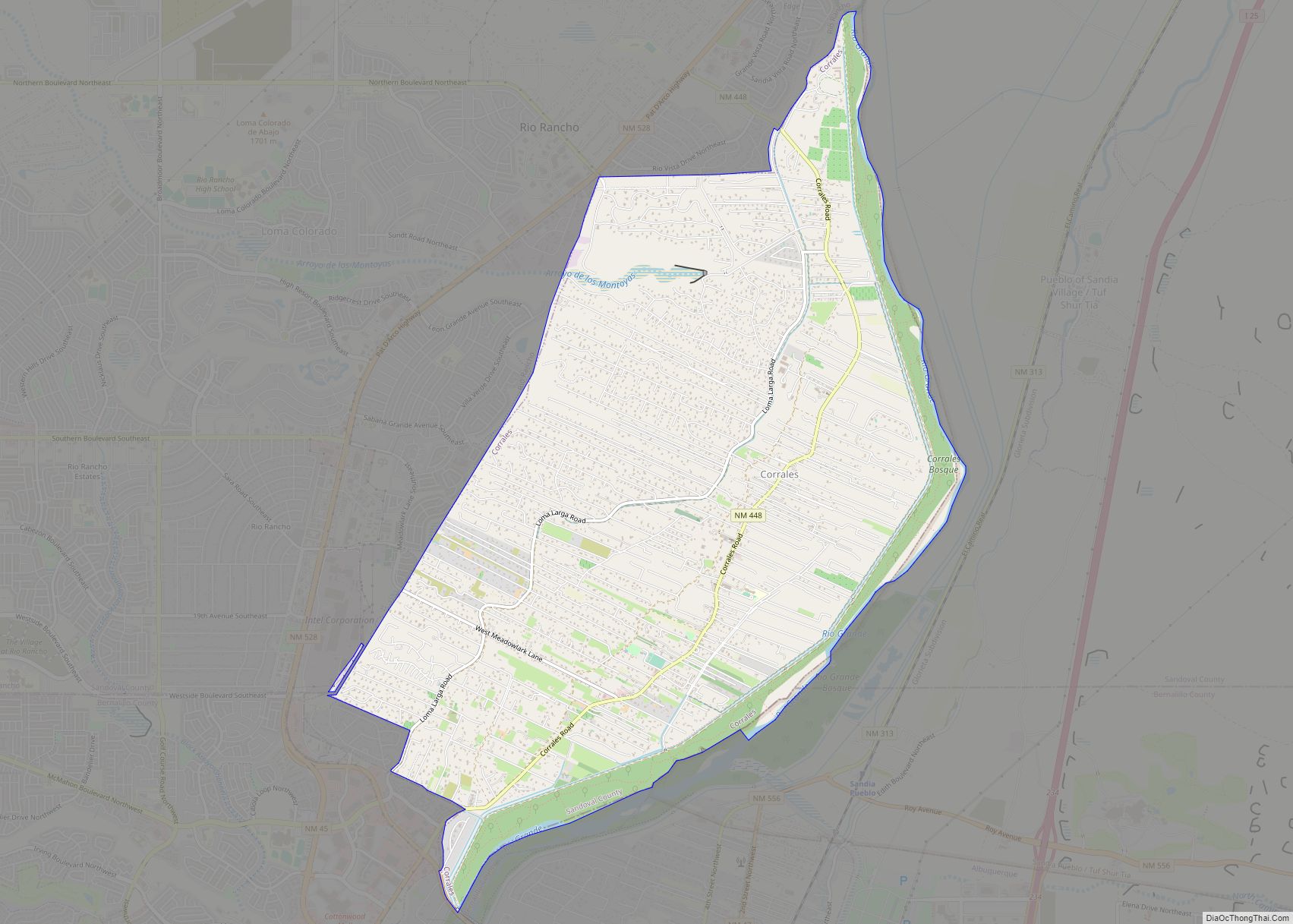
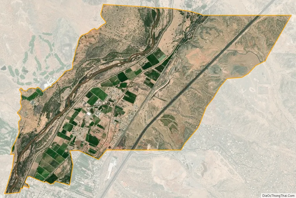
Santa Ana Pueblo city Satellite Map
Geography
According to the United States Census Bureau, the CDP has a total area of 7.4 square miles (19.3 km), of which 6.9 square miles (17.9 km) is land and 0.5 square mile (1.4 km) (7.11%) is water.
See also
Map of New Mexico State and its subdivision: Map of other states:- Alabama
- Alaska
- Arizona
- Arkansas
- California
- Colorado
- Connecticut
- Delaware
- District of Columbia
- Florida
- Georgia
- Hawaii
- Idaho
- Illinois
- Indiana
- Iowa
- Kansas
- Kentucky
- Louisiana
- Maine
- Maryland
- Massachusetts
- Michigan
- Minnesota
- Mississippi
- Missouri
- Montana
- Nebraska
- Nevada
- New Hampshire
- New Jersey
- New Mexico
- New York
- North Carolina
- North Dakota
- Ohio
- Oklahoma
- Oregon
- Pennsylvania
- Rhode Island
- South Carolina
- South Dakota
- Tennessee
- Texas
- Utah
- Vermont
- Virginia
- Washington
- West Virginia
- Wisconsin
- Wyoming