Santa Clara Pueblo (in Tewa: Khaʼpʼoe Ówîngeh [xɑ̀ʔp’òː ʔówîŋgè]) ″Singing Water Village″, also known as ″Village of Wild Roses″ is a census-designated place (CDP) in Rio Arriba County, New Mexico, United States and a federally recognized tribe of Native American Pueblo people.
The pueblo is a member of the Eight Northern Pueblos, and the people are from the Tewa ethnic group of Native Americans who speak the Rio Grande Tewa language. The pueblo is on the Rio Grande, between Ohkay Owingeh (formerly San Juan Pueblo) to the north and San Ildefonso Pueblo (P’ohwhóge Owingeh) to the south.
Santa Clara Pueblo is famous for producing hand-crafted pottery, specifically blackware and redware with deep engravings. The pueblo is listed on the National Register of Historic Places.
| Name: | Santa Clara Pueblo CDP |
|---|---|
| LSAD Code: | 57 |
| LSAD Description: | CDP (suffix) |
| State: | New Mexico |
| County: | Rio Arriba County |
| Elevation: | 5,607 ft (1,709 m) |
| Total Area: | 2.04 sq mi (5.28 km²) |
| Land Area: | 2.02 sq mi (5.23 km²) |
| Water Area: | 0.02 sq mi (0.05 km²) |
| Total Population: | 930 |
| Population Density: | 460.40/sq mi (177.79/km²) |
| ZIP code: | 87532 |
| Area code: | 505 |
| FIPS code: | 3570390 |
| GNISfeature ID: | 0928813 |
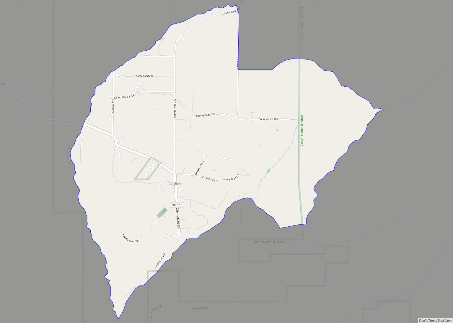
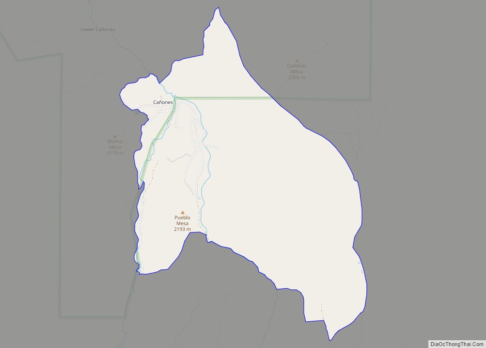
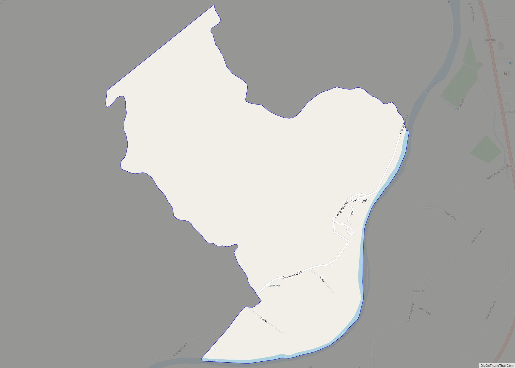
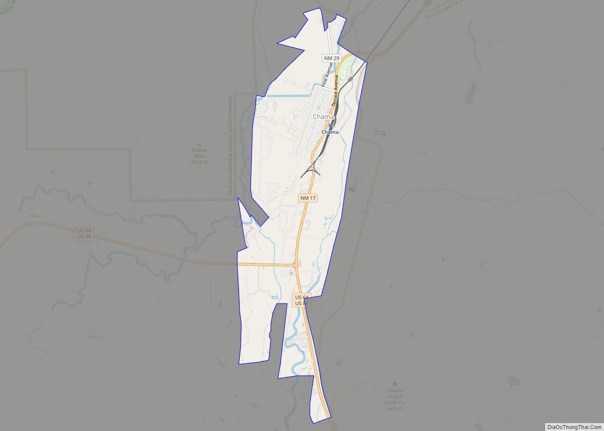
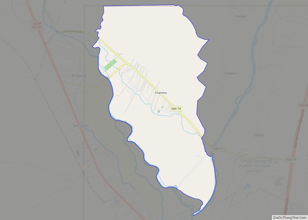
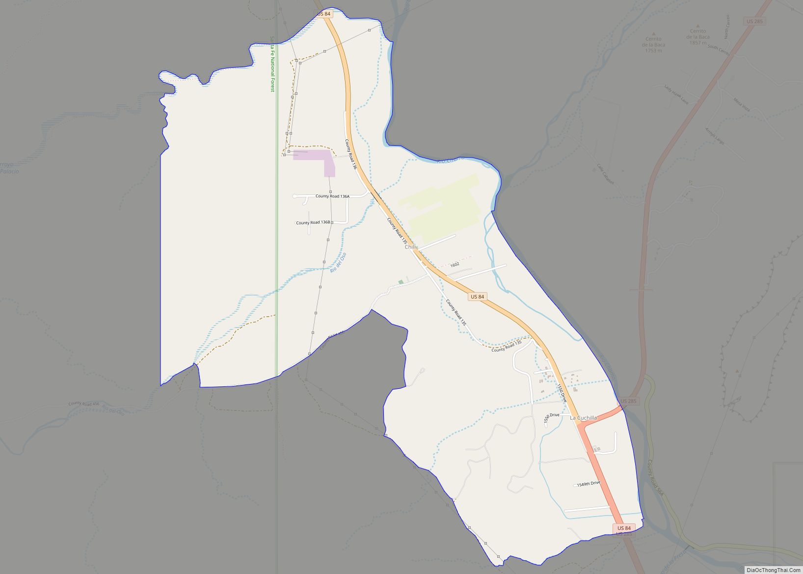
Online Interactive Map
Click on ![]() to view map in "full screen" mode.
to view map in "full screen" mode.
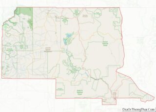
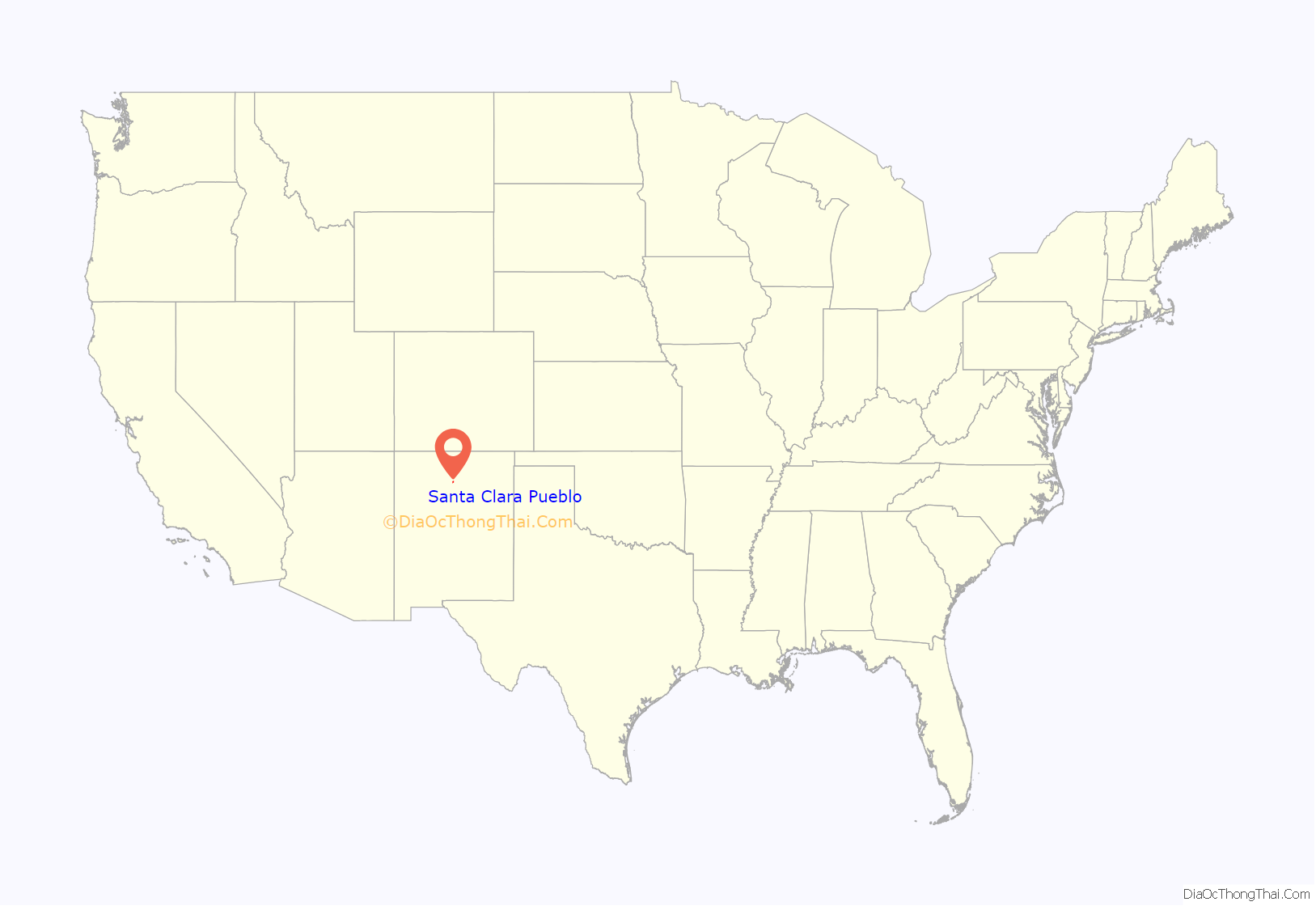
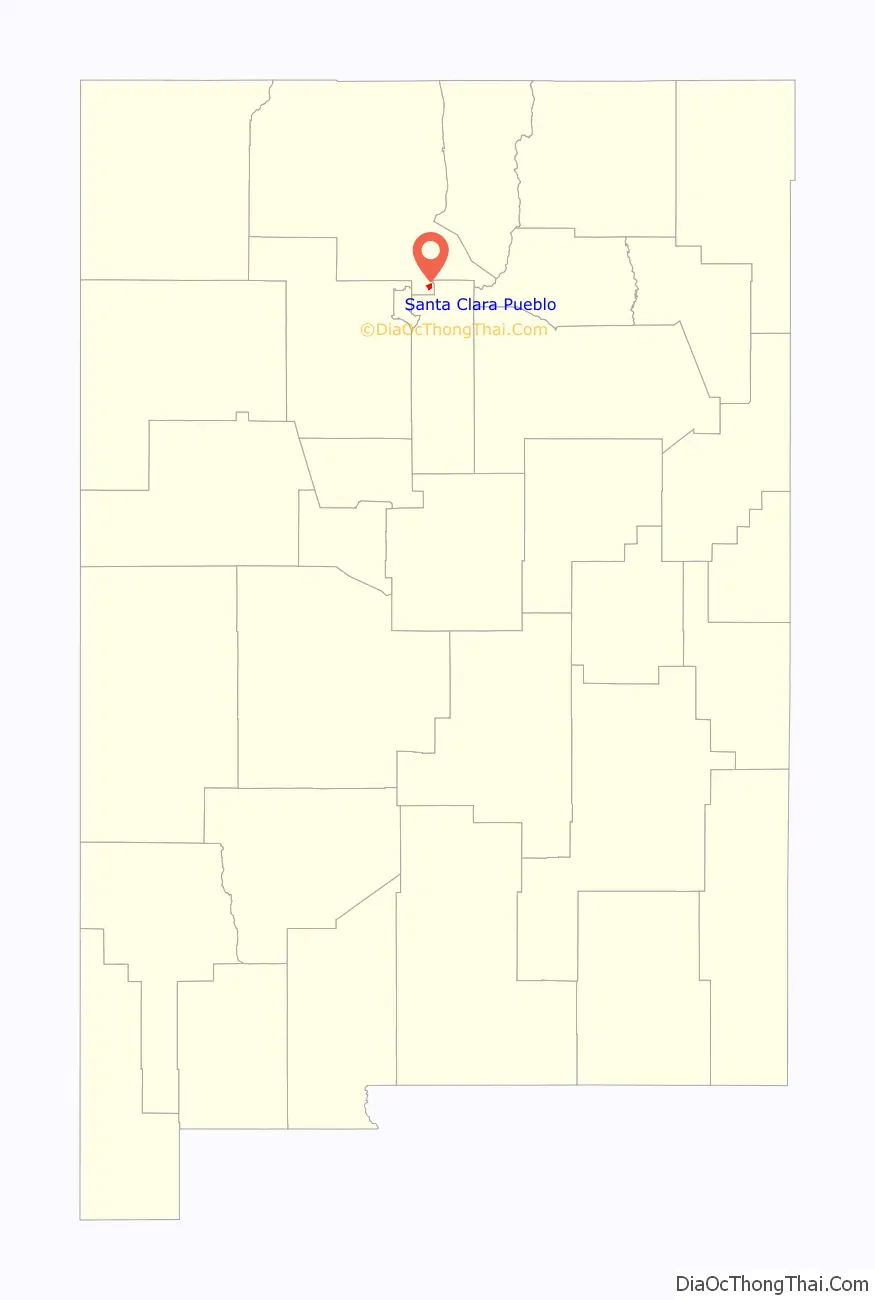
Santa Clara Pueblo location map. Where is Santa Clara Pueblo CDP?
History
Tewa people lived in the Pueblo area for millennia before they met Spanish conquistador Juan de Oñate and his exploration party on July 11, 1598. Pueblo archaeology shows that Ancestral Puebloans lived in the general region as far back as 1200 BC.
First visited in 1541, a segment of Francisco Coronado’s expeditionary force met with the residents of the nearby Caypa Pueblo. After annexation of the region into the Spanish Kingdom, and as part of the 1601 expansion of Oñate’s colonial capital, a chapel was built there by 1617. Fray Alonso de Benavides established a mission in 1628. The mission was abandoned on the lead up to the Great Pueblo Revolt of 1680.
This Pueblo joined forces with others nearby and fought against the Spanish Royal Government in 1680 in the revolt. The original and unoccupied chapel was destroyed. Two other chapel buildings would be constructed there. The current church replaced the former in 1918.
In 1782, a small pox outbreak decimated the population. The eighth section of the Act of July 22, 1854, mandated a census of the newly acquired possessions of the US government. In review of the land’s title, the pueblo presented a Spanish Royal decree dated October 15, 1713, that the title to land and various pueblos could be expected. Though lost, the decree on the title papers assured protection of the pueblos’ right to protection of their homelands from encroachment. The result of the title research led this Pueblo community to be of the first recognized by United States Congress.
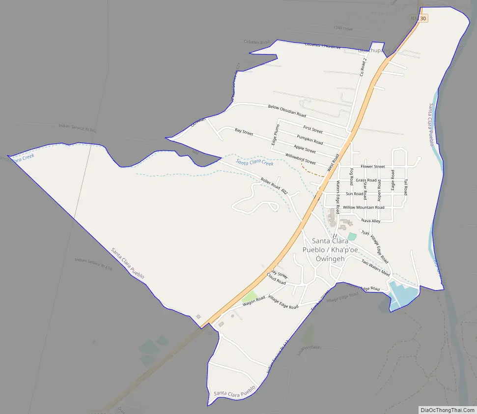
Santa Clara Pueblo Road Map
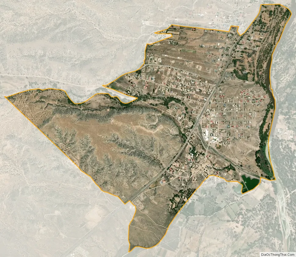
Santa Clara Pueblo city Satellite Map
Geography
Santa Clara Pueblo is located at 35°58′16″N 106°5′21″W / 35.97111°N 106.08917°W / 35.97111; -106.08917 (35.971124, -106.089111), approximately 1.5 miles south of Española on NM 30.
According to the United States Census Bureau, the CDP has a total area of 2.1 square miles (5.4 km), all land.
See also
Map of New Mexico State and its subdivision: Map of other states:- Alabama
- Alaska
- Arizona
- Arkansas
- California
- Colorado
- Connecticut
- Delaware
- District of Columbia
- Florida
- Georgia
- Hawaii
- Idaho
- Illinois
- Indiana
- Iowa
- Kansas
- Kentucky
- Louisiana
- Maine
- Maryland
- Massachusetts
- Michigan
- Minnesota
- Mississippi
- Missouri
- Montana
- Nebraska
- Nevada
- New Hampshire
- New Jersey
- New Mexico
- New York
- North Carolina
- North Dakota
- Ohio
- Oklahoma
- Oregon
- Pennsylvania
- Rhode Island
- South Carolina
- South Dakota
- Tennessee
- Texas
- Utah
- Vermont
- Virginia
- Washington
- West Virginia
- Wisconsin
- Wyoming