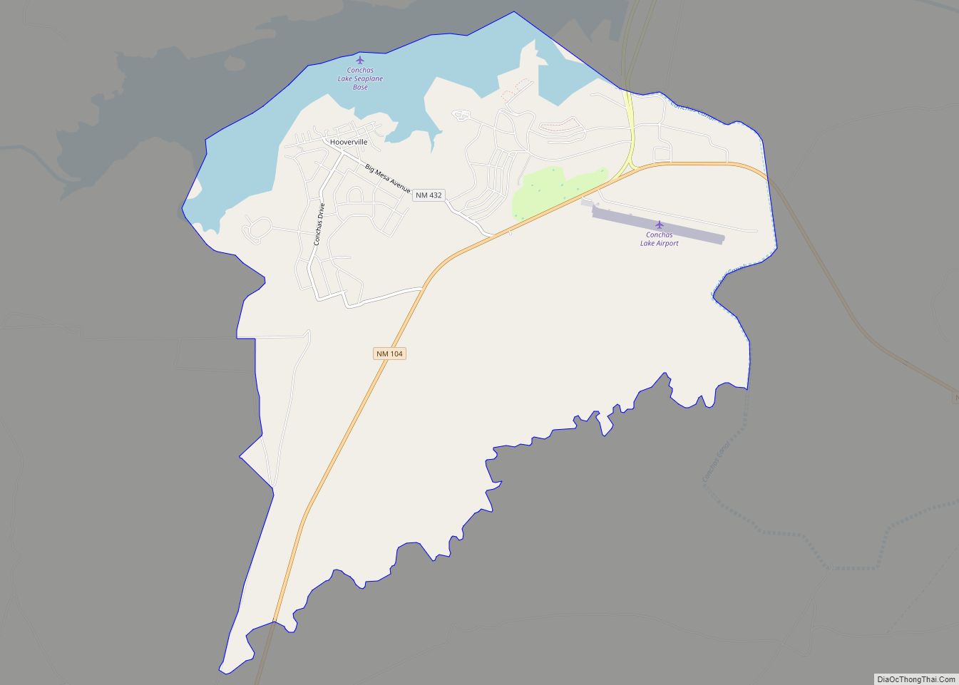
Map of Clovis city, New Mexico

Map of Clovis city, New Mexico

Clovis is a city in and the county seat of Curry County, New Mexico. The city had a population of 37,775 as of the 2010 census, and a 2019 estimated population of 38,319. Clovis is located in the New Mexico portion of the Llano Estacado, in the eastern part of the state. A largely agricultural … Read more

Map of Cloudcroft village

Map of Cloudcroft village

Cloudcroft is a village in Otero County, New Mexico, United States, and is located within the Lincoln National Forest. The population was 674 at the 2010 census. Despite being located in an otherwise arid region, its high elevation (8,676 feet (2,644 m) allows for a mild summer and forested surroundings that makes it a popular tourist … Read more

Map of Cliff CDP

Map of Cliff CDP

Cliff is a census-designated place in Grant County, New Mexico, United States. Its population was 293 as of the 2010 census. Cliff CDP overview: Name: Cliff CDP LSAD Code: 57 LSAD Description: CDP (suffix) State: New Mexico County: Grant County Elevation: 4,498 ft (1,371 m) Total Area: 10.25 sq mi (26.55 km²) Land Area: 10.25 sq mi (26.55 km²) Water Area: 0.00 sq mi (0.00 km²) … Read more

Map of Clayton town, New Mexico

Map of Clayton town, New Mexico

Clayton is a town and county seat of Union County, New Mexico, United States. As of the 2010 census, the city population was 2,980. Clayton town overview: Name: Clayton town LSAD Code: 43 LSAD Description: town (suffix) State: New Mexico County: Union County Elevation: 5,056 ft (1,541 m) Total Area: 7.79 sq mi (20.19 km²) Land Area: 7.77 sq mi (20.12 km²) Water … Read more

Map of Cotton City CDP

Map of Cotton City CDP

Cotton City is a census-designated place in Hidalgo County, New Mexico, United States. Its population was 388 as of the 2010 census. New Mexico State Road 338 passes through the community. The community was named for its cotton gin, which serves the area’s cotton farms. Cotton City CDP overview: Name: Cotton City CDP LSAD Code: … Read more

Map of Costilla CDP

Map of Costilla CDP

Costilla is a census-designated place in Taos County, New Mexico, United States. Its population was 205 as of the 2010 census. Costilla has a post office with ZIP code 87524. State roads 196 and 522 intersect in the community. Costilla CDP overview: Name: Costilla CDP LSAD Code: 57 LSAD Description: CDP (suffix) State: New Mexico … Read more

Map of Corrales village

Map of Corrales village

Corrales is a village in southern Sandoval County, New Mexico, United States. First farmed by Tiquex Pueblo people, chosen due to its proximity to the Rio Grande, as documented by Hispano farmers of Nuevo México in the late 1500s. Despite being a part of the Albuquerque metropolitan area, the village maintains its rural character, while … Read more

Map of Corona village, New Mexico

Map of Corona village, New Mexico

Corona is a village in Lincoln County, New Mexico, United States, located along U.S. Route 54. The population was 172 at the time of the 2010 census. Corona village overview: Name: Corona village LSAD Code: 47 LSAD Description: village (suffix) State: New Mexico County: Lincoln County Elevation: 6,690 ft (2,039 m) Total Area: 1.03 sq mi (2.66 km²) Land Area: … Read more

Map of Cuba village, New Mexico

Map of Cuba village, New Mexico

Cuba is a village in Sandoval County, New Mexico, United States. As of the 2010 census, the village population was 735. It is part of the Albuquerque Metropolitan Statistical Area. Cuba village overview: Name: Cuba village LSAD Code: 47 LSAD Description: village (suffix) State: New Mexico County: Sandoval County Elevation: 6,884 ft (2,098 m) Total Area: 3.26 sq mi … Read more

Map of Cuartelez CDP

Map of Cuartelez CDP

Cuartelez (or Cuarteles) is a census-designated place (CDP) in Santa Fe County, New Mexico, United States. It is part of the Santa Fe, New Mexico Metropolitan Statistical Area. The population was 469 at the 2010 census. Cuartelez CDP overview: Name: Cuartelez CDP LSAD Code: 57 LSAD Description: CDP (suffix) State: New Mexico County: Santa Fe … Read more

Map of Crystal CDP, New Mexico

Map of Crystal CDP, New Mexico

Crystal (Navajo: Tóniłtsʼílí) is a census-designated place (CDP) on the Navajo Nation in McKinley and San Juan counties in New Mexico, United States. The population was 311 at the 2010 census. It is located at the western end of the Narbona Pass. Crystal CDP overview: Name: Crystal CDP LSAD Code: 57 LSAD Description: CDP (suffix) … Read more

Map of Cruzville CDP

Map of Cruzville CDP

Cruzville is a census-designated place in Catron County, New Mexico, United States, 9 miles (14 km) northeast of Reserve. It is located in the Apache National Forest. As of the 2010 census it had a population of 72. Cruzville CDP overview: Name: Cruzville CDP LSAD Code: 57 LSAD Description: CDP (suffix) State: New Mexico County: Catron … Read more