Columbus is a village in Luna County, New Mexico, United States, about 3 miles (5 km) north of the Mexican border. It is considered a place of historical interest, as the scene of a 1916 attack by Mexican general Francisco “Pancho” Villa that caused America to send 10,000 troops there in the Mexican Expedition (originally referred to as the “punitive Mexican Expedition”). Columbus’s population was 1,664 at the 2010 census.
| Name: | Columbus village |
|---|---|
| LSAD Code: | 47 |
| LSAD Description: | village (suffix) |
| State: | New Mexico |
| County: | Luna County |
| Founded: | 1891 |
| Elevation: | 4,068 ft (1,240 m) |
| Total Area: | 4.67 sq mi (12.09 km²) |
| Land Area: | 4.67 sq mi (12.09 km²) |
| Water Area: | 0.00 sq mi (0.00 km²) |
| Total Population: | 1,442 |
| Population Density: | 309.04/sq mi (119.32/km²) |
| ZIP code: | 88029 |
| Area code: | 575 |
| FIPS code: | 3517050 |
| GNISfeature ID: | 0897342 |
| Website: | www.historicvillageofcolumbus.org/index.html |
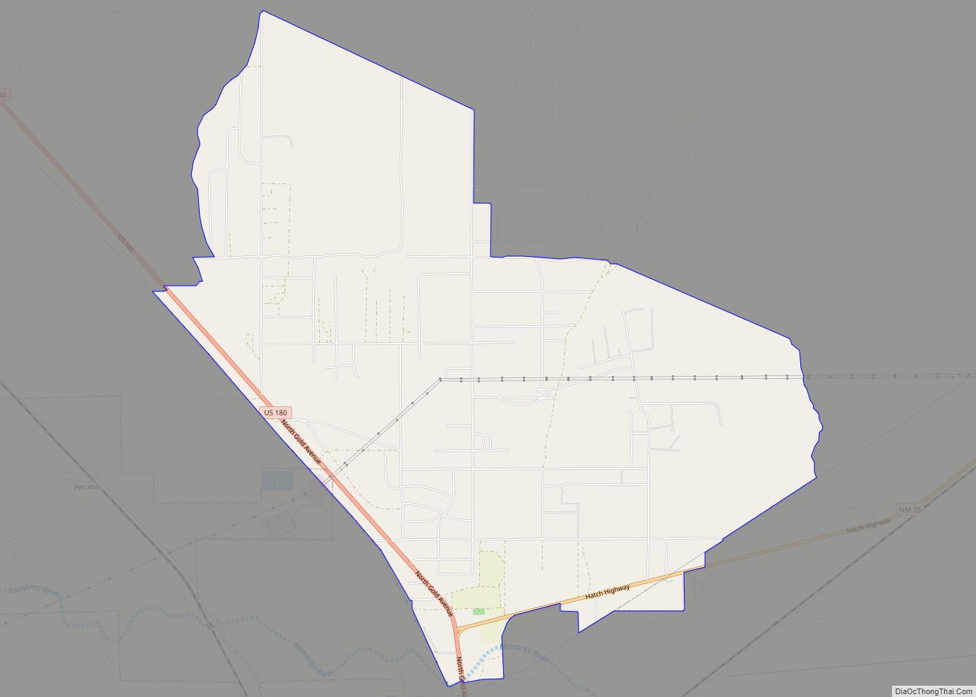
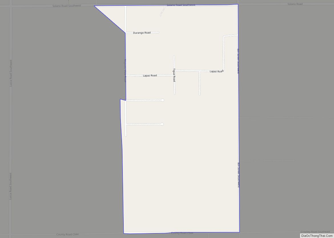
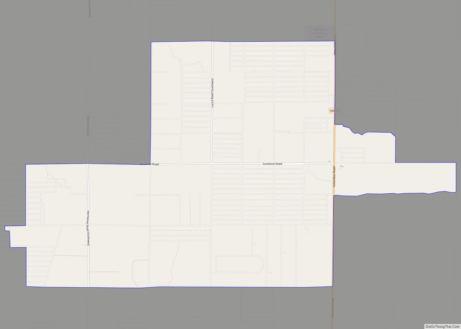
Online Interactive Map
Click on ![]() to view map in "full screen" mode.
to view map in "full screen" mode.
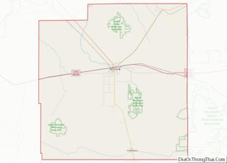
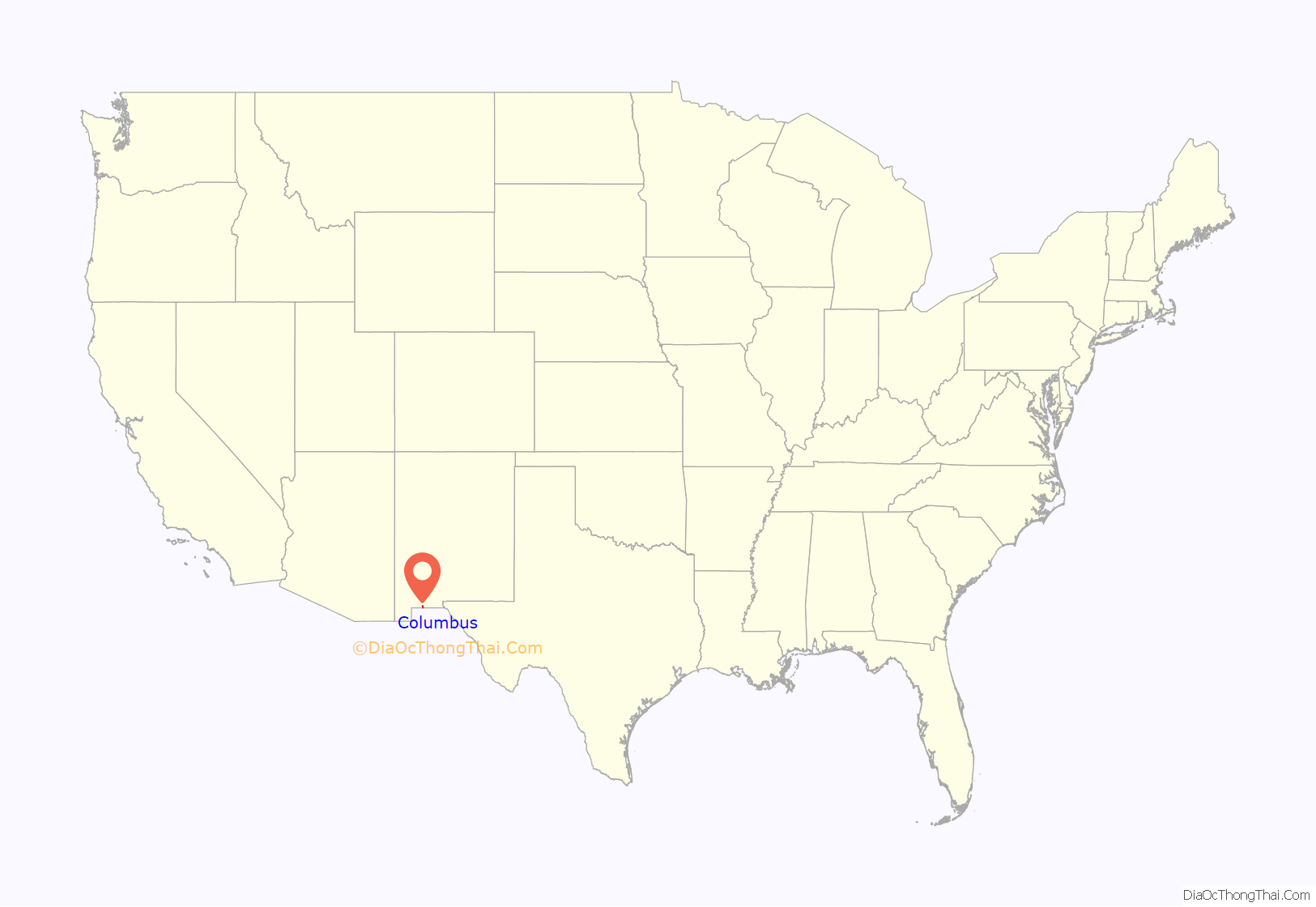
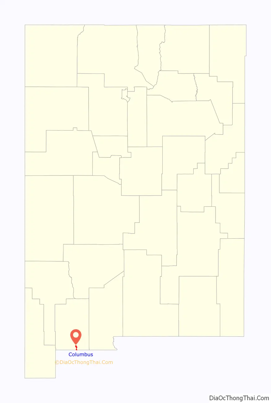
Columbus location map. Where is Columbus village?
History
Early history (1891–1910s)
Columbus was established in 1891 just across the Mexican border from Palomas, Chihuahua, and named after 15th-century explorer Christopher Columbus. In 1902, the village was moved 3 miles (5 km) north when the El Paso and Southwestern Railroad built its Columbus station. This station is now converted into a museum run by the Columbus Historical Society.
About 1905, it was a very small town with a population of about 100, two of those early settlers being Colonel Andrew O. Bailey and Louis Heller. By this time, Columbus had only one general store, a saloon, and a society inspector. In time, a high school was built, and Perrow G. Mosely established the Columbus News, which later was renamed the Columbus Courier. By 1915, the town had 700 residents, the Columbus State Bank was built, four hotels were constructed, and several stores and a Baptist church were also established. At that time, the area around Columbus also had rich silver, copper, lead, and zinc deposits.
1916 Pancho Villa raid
On March 9, 1916, on the orders of Mexican revolutionary leader Pancho Villa, Colonel Francisco Beltrán, Colonel Candelario Cervantes, General Nicolás Fernández, General Pablo López, and others led 500 men in an attack against the town, which was garrisoned by a detachment of the 13th Cavalry Regiment. Villa’s army burned a part of the town and killed seven or eight soldiers and 10 residents before retreating back into Mexico.
United States President Woodrow Wilson responded to the Columbus raid by sending 10,000 troops under Brigadier General John J. Pershing to Mexico to pursue Villa. This was known as the Punitive Mexican Expedition or Pancho Villa Expedition. The expedition was eventually called off after failing to find Villa, who had escaped. The Pershing expedition brought prosperity and international attention to Columbus and a realization that war had come to the border of the United States.
From 1926 to the 1990s
In 1926 after the Punitive Expedition ended, Columbus started to change and decay over the decades. Camp Furlong activity was greatly reduced. The army decided to close their camp, and the El Paso and Southwestern Railroad stopped service in Columbus. After all these events, the economy naturally faded over time.
In the 1990s Columbus started to revitalize, with the development of city and state parks, museums, RV parks, and history involving the city.
2011 gun-smuggling scandal
In July 2011, Columbus dissolved its police force after a gun-smuggling scandal that involved its village officials and others. The mayor, a village trustee, a former police chief, and nine other people were indicted in the scandal. The case was prosecuted by the United States Attorney from El Paso, Texas, before United States District Court Judge Robert Brack in Las Cruces, New Mexico. Of the 11 people charged, 10 pleaded guilty, with one person still at large. Sentences ranged from five years in federal prison to two years’ probation.
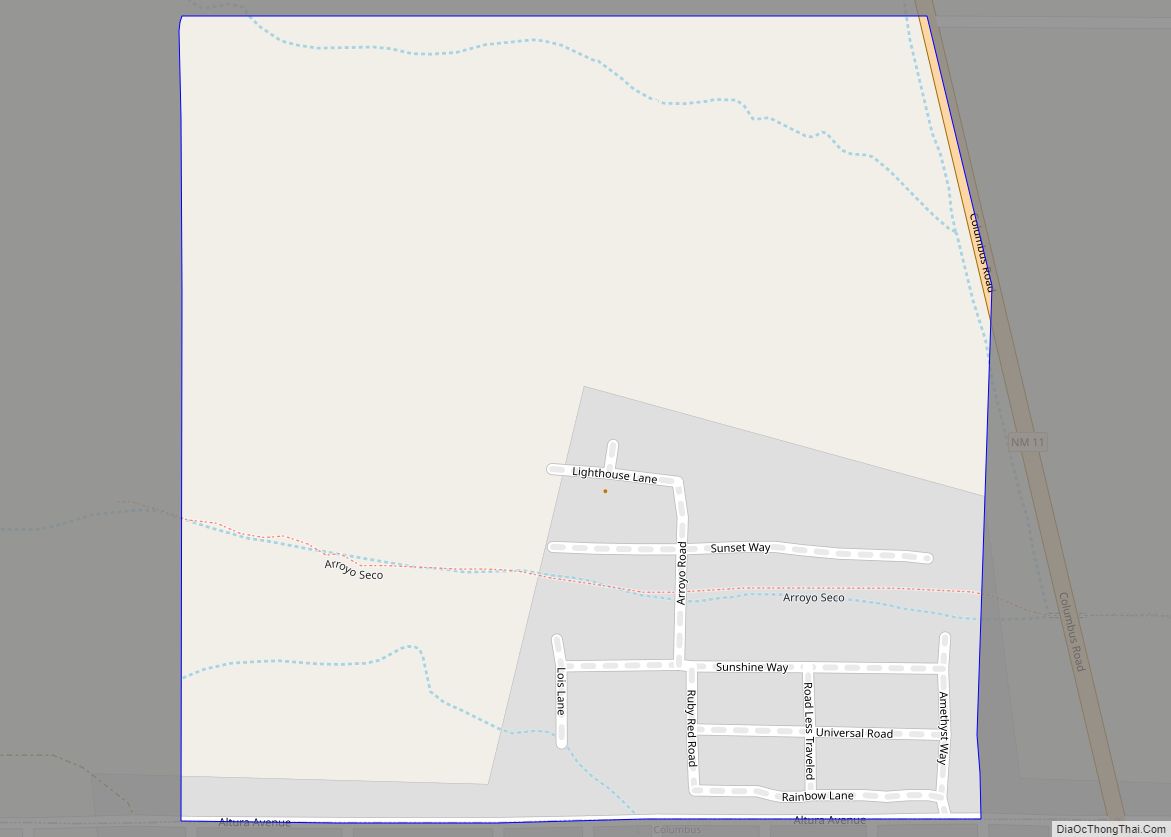
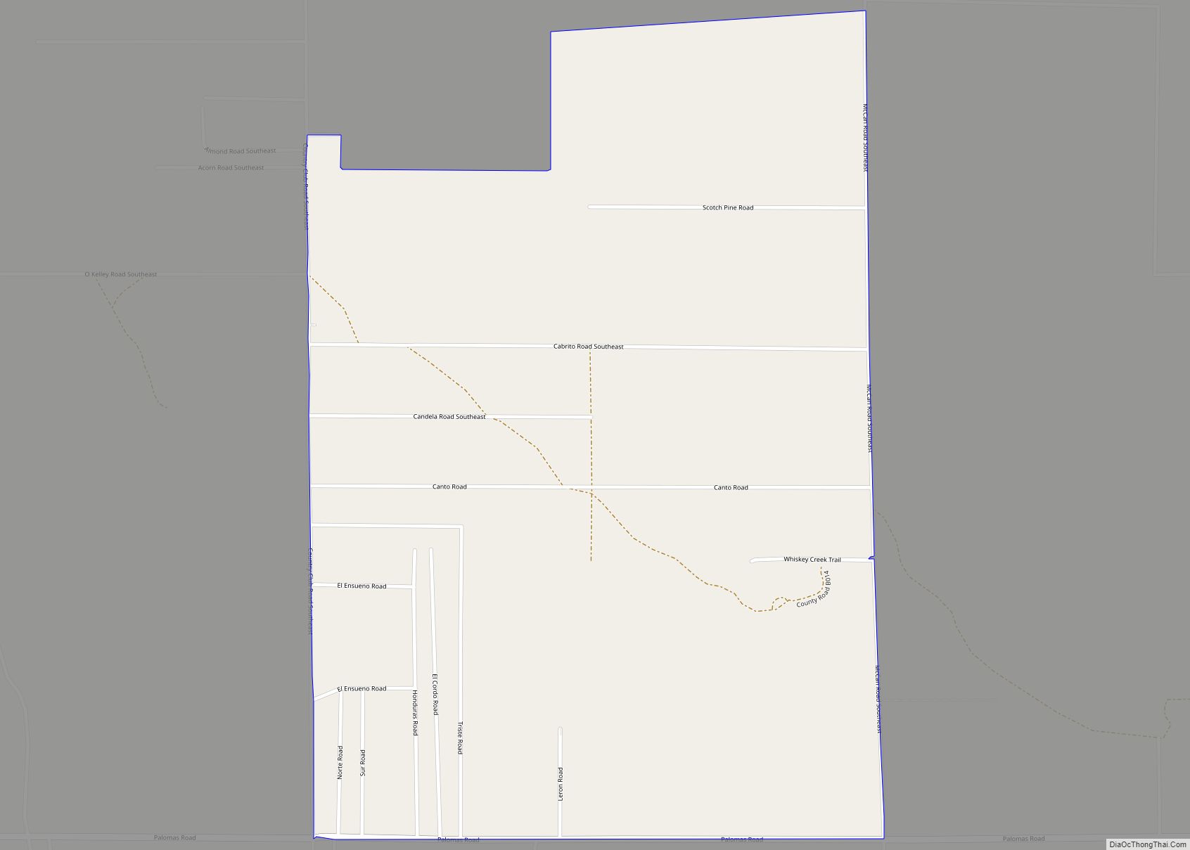
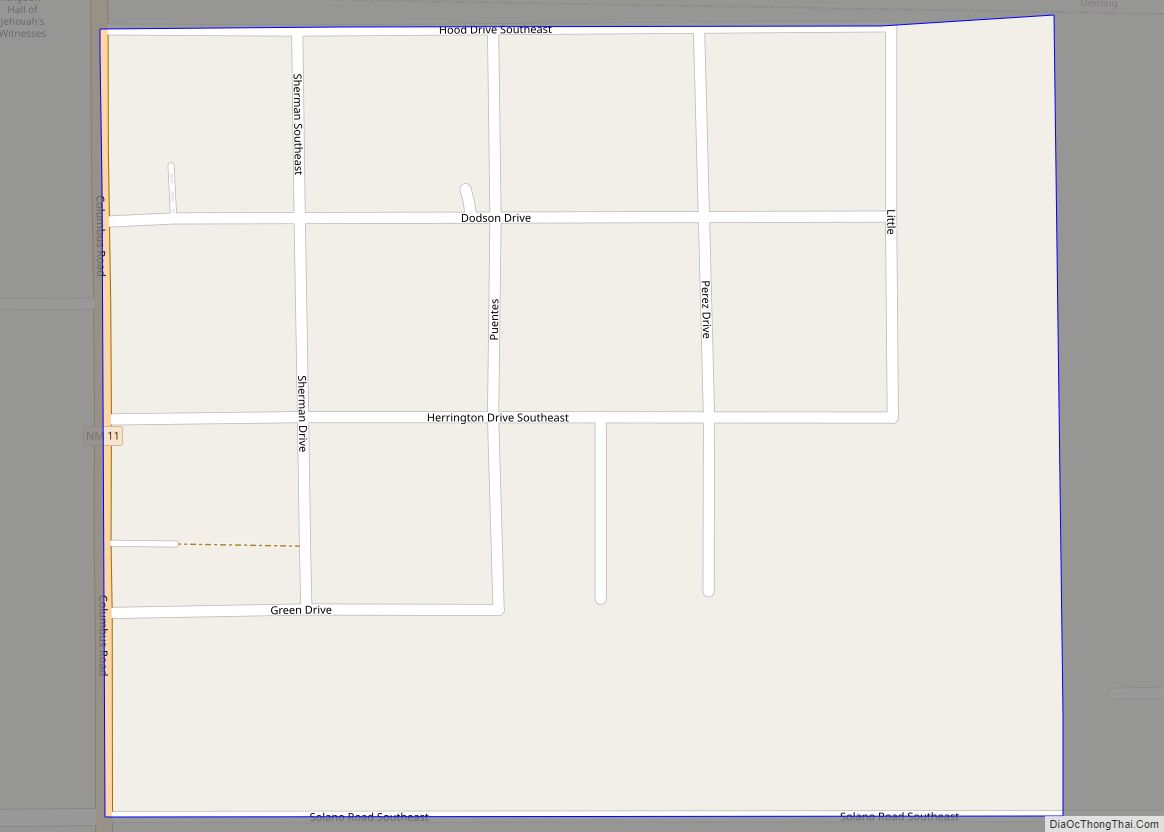
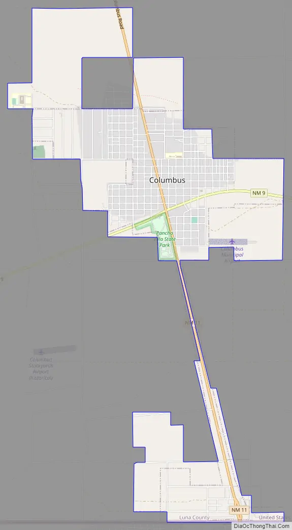
Columbus Road Map
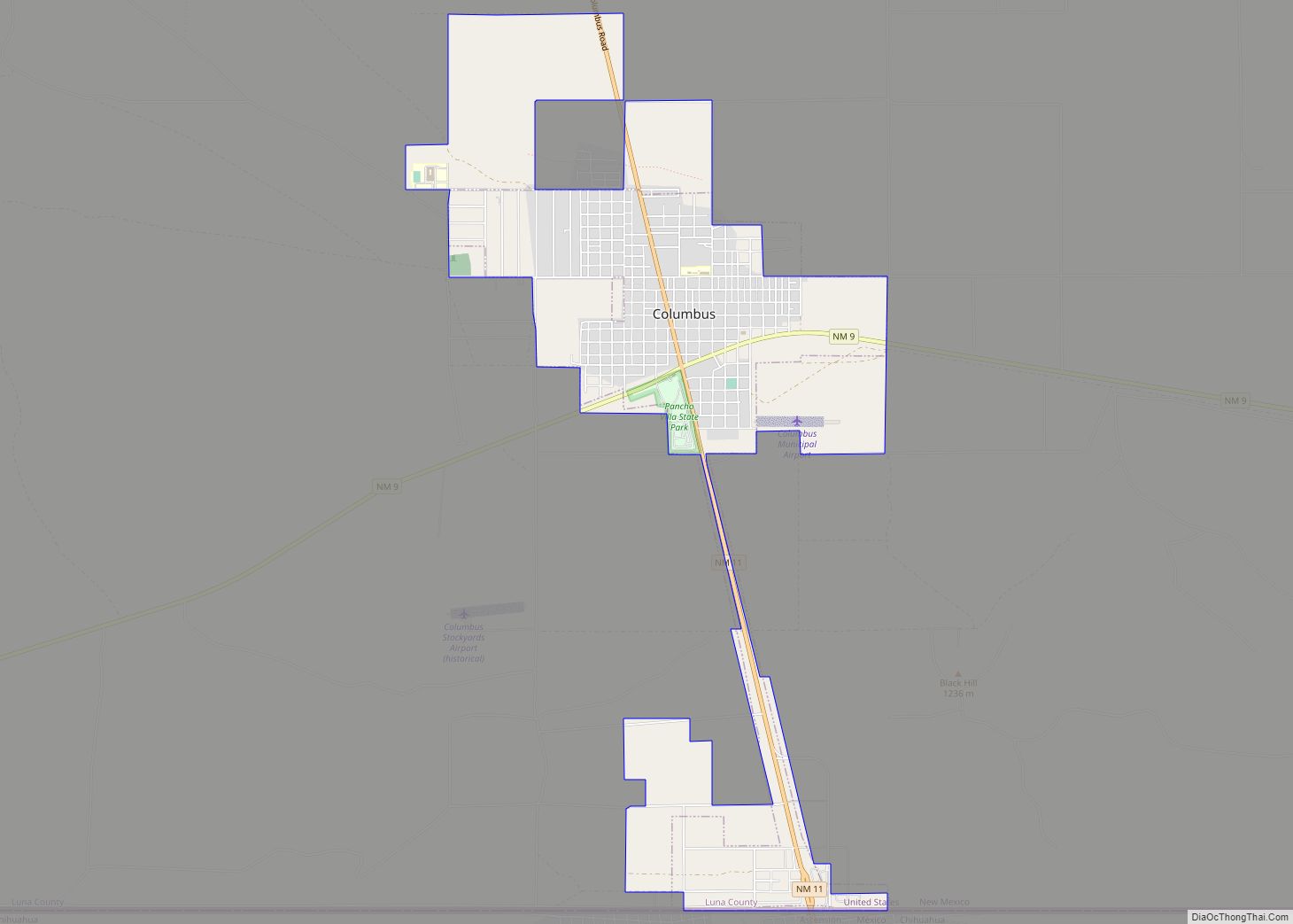
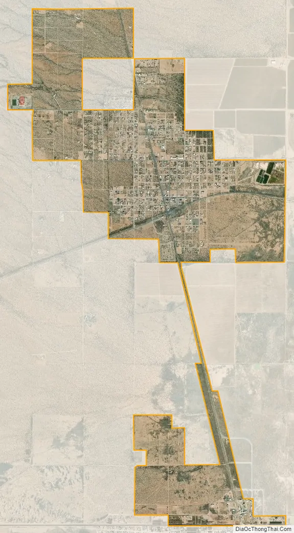
Columbus city Satellite Map
Geography
Columbus is in southern Luna County at 31°49′51″N 107°38′30″W / 31.83083°N 107.64167°W / 31.83083; -107.64167 (31.830760, -107.641558). It is about 3 miles (5 km) north of the border between the United States and Mexico. The village limits extend south to the international border. The Mexican village of Puerto Palomas, Chihuahua, is across the border.
New Mexico State Road 11 leads north from Columbus 32 miles (51 km) to Deming, the Luna county seat, while State Road 9 leads east 59 miles (95 km) to Santa Teresa and west 44 miles (71 km) to Hachita.
According to the United States Census Bureau, the village of Columbus has a total area of 4.7 square miles (12.1 km), all land.
Climate
The climate is a cold semi-arid (Köppen: BSk) like much of New Mexico‘s lower elevations outside El Paso–Juárez.
See also
Map of New Mexico State and its subdivision: Map of other states:- Alabama
- Alaska
- Arizona
- Arkansas
- California
- Colorado
- Connecticut
- Delaware
- District of Columbia
- Florida
- Georgia
- Hawaii
- Idaho
- Illinois
- Indiana
- Iowa
- Kansas
- Kentucky
- Louisiana
- Maine
- Maryland
- Massachusetts
- Michigan
- Minnesota
- Mississippi
- Missouri
- Montana
- Nebraska
- Nevada
- New Hampshire
- New Jersey
- New Mexico
- New York
- North Carolina
- North Dakota
- Ohio
- Oklahoma
- Oregon
- Pennsylvania
- Rhode Island
- South Carolina
- South Dakota
- Tennessee
- Texas
- Utah
- Vermont
- Virginia
- Washington
- West Virginia
- Wisconsin
- Wyoming