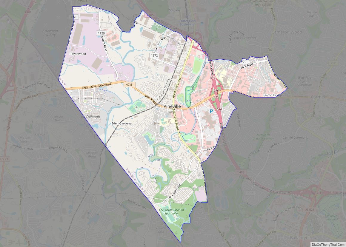
Pineville (/ˈpiːnvɪl/; locally /ˈpiːnvəl/) is a suburban town in the southernmost portion of Mecklenburg County, North Carolina, United States, situated in the Waxhaws district between Charlotte and Fort Mill. Pineville town overview: Name: Pineville town LSAD Code: 43 LSAD Description: town (suffix) State: North Carolina County: Mecklenburg County Elevation: 587 ft (179 m) Total Area: 6.68 sq mi (17.29 km²) ... Read more
North Carolina Cities and Places
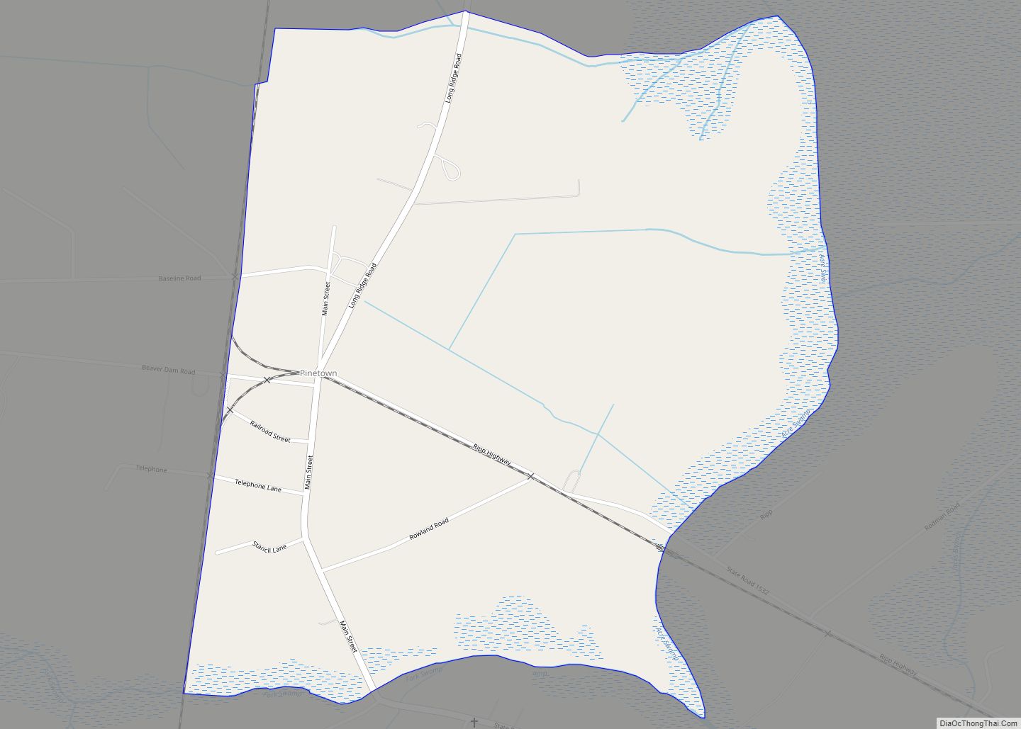
Pinetown is an unincorporated community and census-designated place (CDP) in Beaufort County, North Carolina, United States. As of the 2010 census it had a population of 155. The community is located in northern Beaufort County in the Coastal Plain region of North Carolina. It is 14 miles (23 km) northeast of Washington, the county seat. Pinetown ... Read more
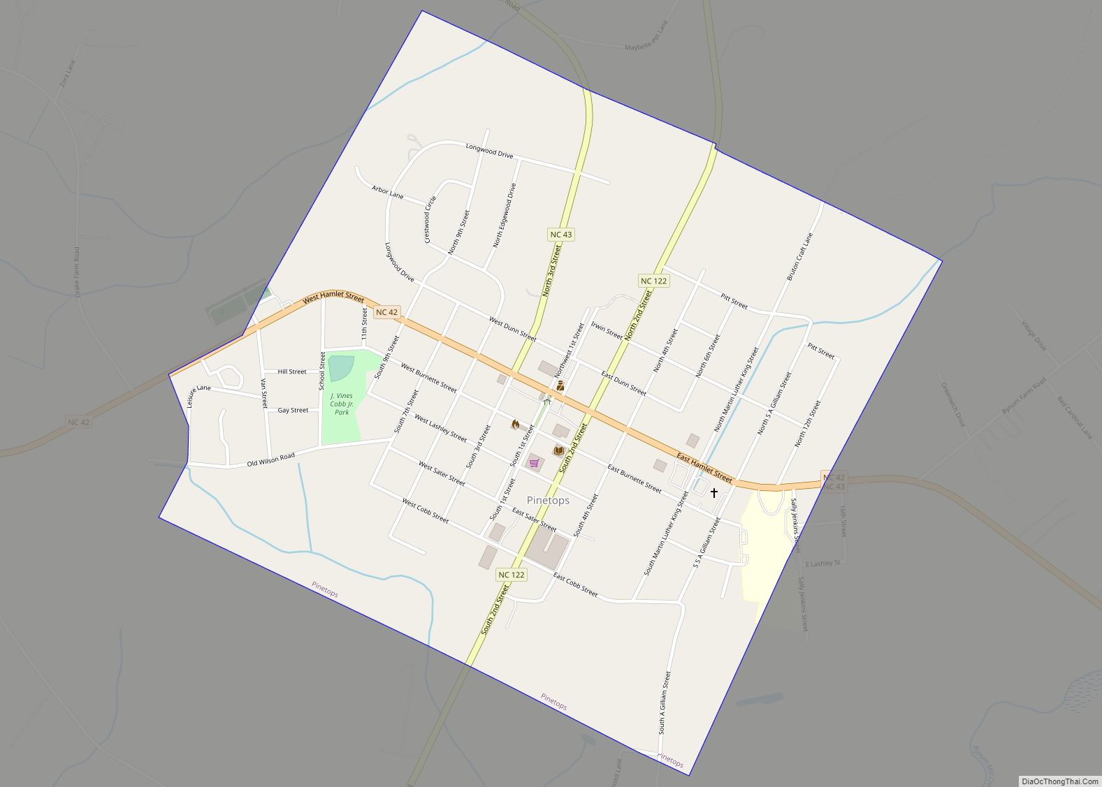
Pinetops is a town in Edgecombe County, North Carolina, United States. It is part of the Rocky Mount, North Carolina Metropolitan Statistical Area. The population was 1,374 at the 2010 census. Pinetops town overview: Name: Pinetops town LSAD Code: 43 LSAD Description: town (suffix) State: North Carolina County: Edgecombe County Elevation: 102 ft (31 m) Total Area: ... Read more
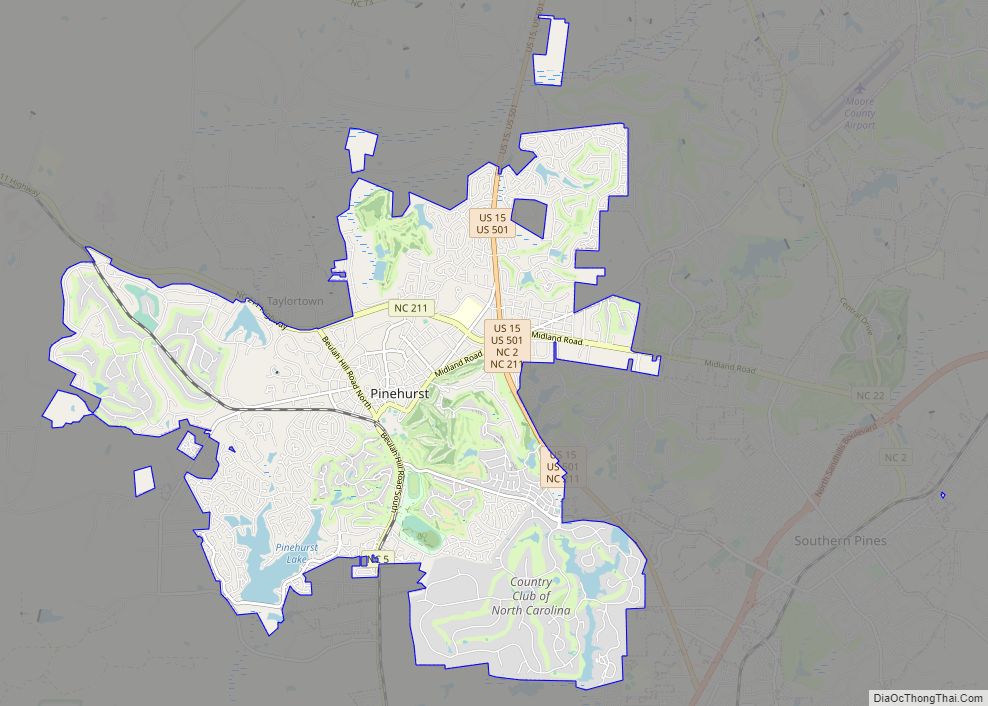
Pinehurst is a village in Moore County, North Carolina, United States. As of the 2010 census, the village population was 13,124. It is home of the historic Pinehurst Resort, a Golf resort, which has hosted multiple United States Open Championships in Golf. The village lies adjacent to the Pine Needles Lodge and Golf Club, which ... Read more
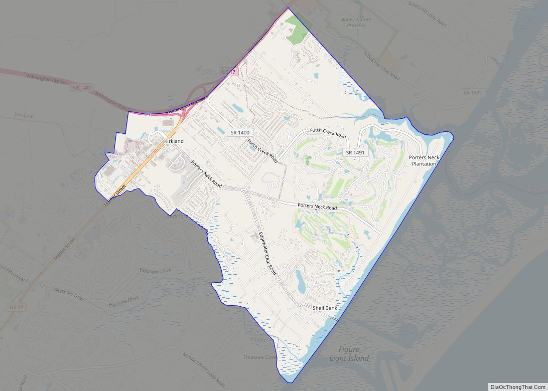
Porters Neck is an unincorporated community and census-designated place in New Hanover County, North Carolina, United States. Its population was 6,204 as of the 2010 census. Porters Neck CDP overview: Name: Porters Neck CDP LSAD Code: 57 LSAD Description: CDP (suffix) State: North Carolina County: New Hanover County Elevation: 20 ft (6 m) Total Area: 5.78 sq mi (14.98 km²) ... Read more
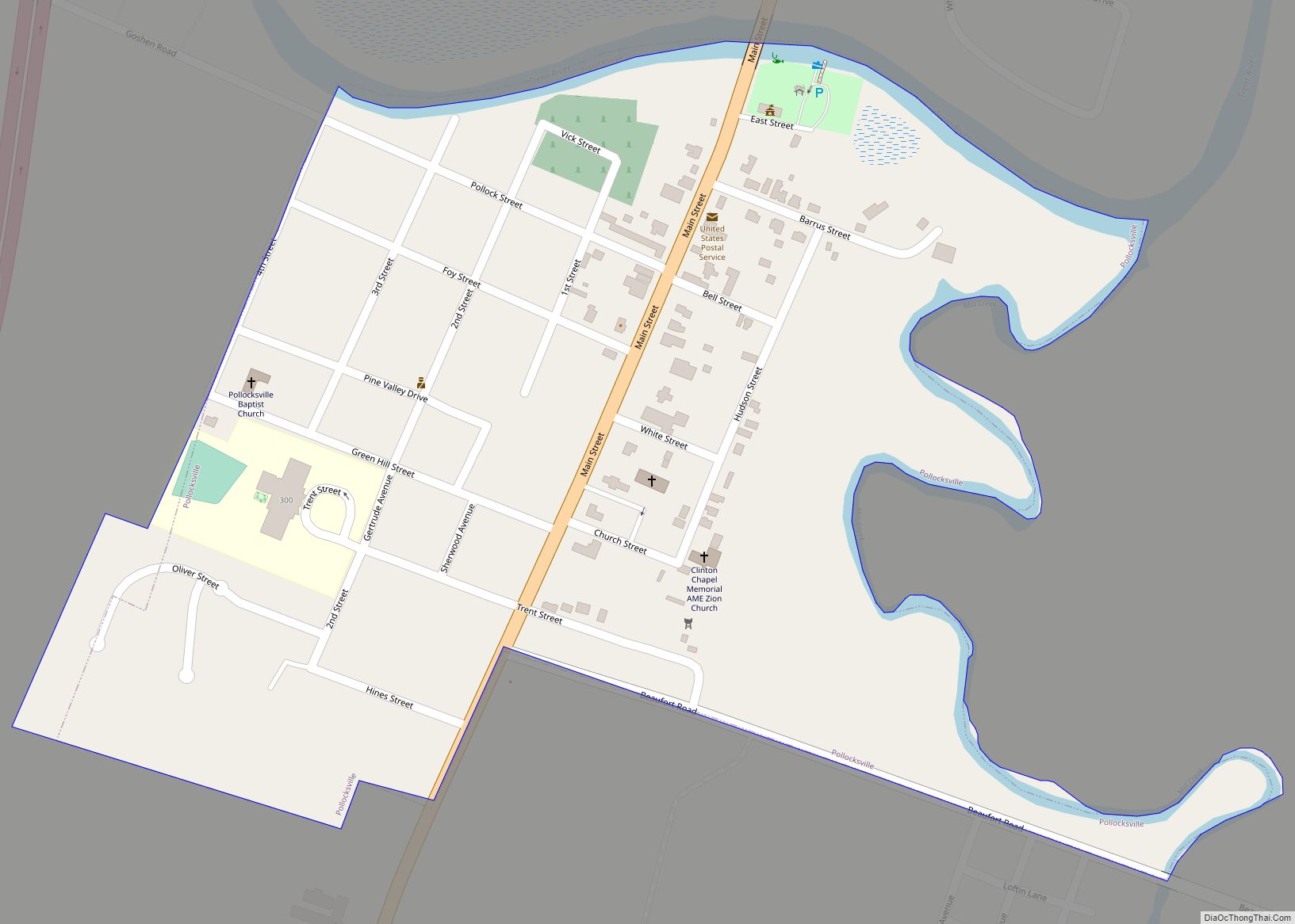
Pollocksville is a town in Jones County, North Carolina, United States. The population was 268 at the 2020 census. It is part of the New Bern, North Carolina Micropolitan Statistical Area. It is situated on US 17 and Highway 58. Pollocksville town overview: Name: Pollocksville town LSAD Code: 43 LSAD Description: town (suffix) State: North ... Read more
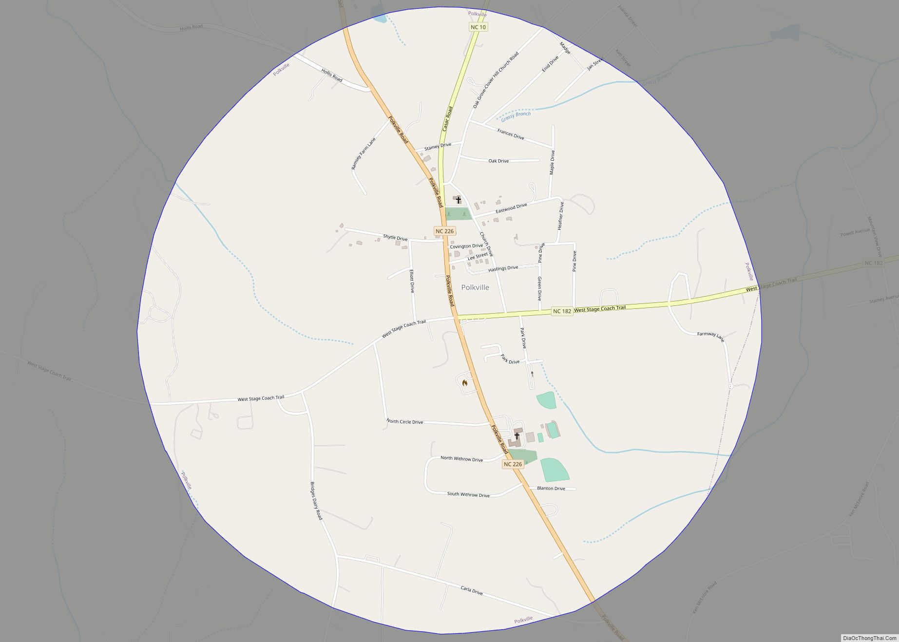
Polkville is a small town in Cleveland County, North Carolina, United States. The population was 545 at the 2010 census. Polkville city overview: Name: Polkville city LSAD Code: 25 LSAD Description: city (suffix) State: North Carolina County: Cleveland County Elevation: 1,093 ft (333 m) Total Area: 1.86 sq mi (4.83 km²) Land Area: 1.86 sq mi (4.83 km²) Water Area: 0.00 sq mi (0.00 km²) Total ... Read more
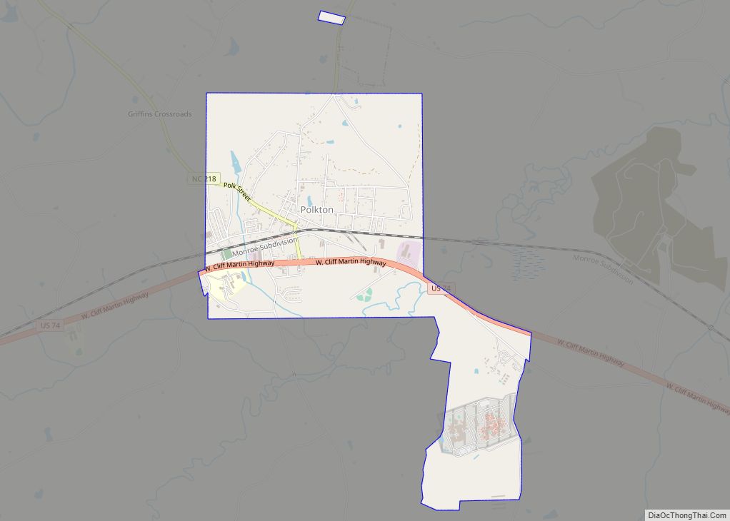
Polkton is a town in Anson County, North Carolina, United States. As of the 2020 census, the town population was 1,881 down from 3,375 in 2010. The town is named after its founder, Leonidas L. Polk. Polkton town overview: Name: Polkton town LSAD Code: 43 LSAD Description: town (suffix) State: North Carolina County: Anson County ... Read more
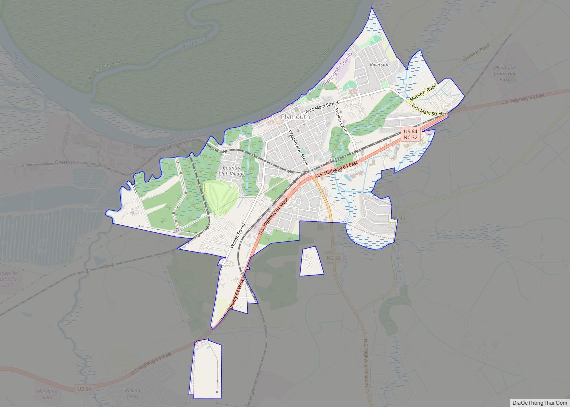
Plymouth is the largest town in Washington County, North Carolina, United States. The population was 3320 at the 2020 Census. It is the county seat of Washington County. Plymouth is located on the Roanoke River about seven miles (11 km) upriver from its mouth into the Albemarle Sound in North Carolina’s Inner Banks region. Plymouth town ... Read more
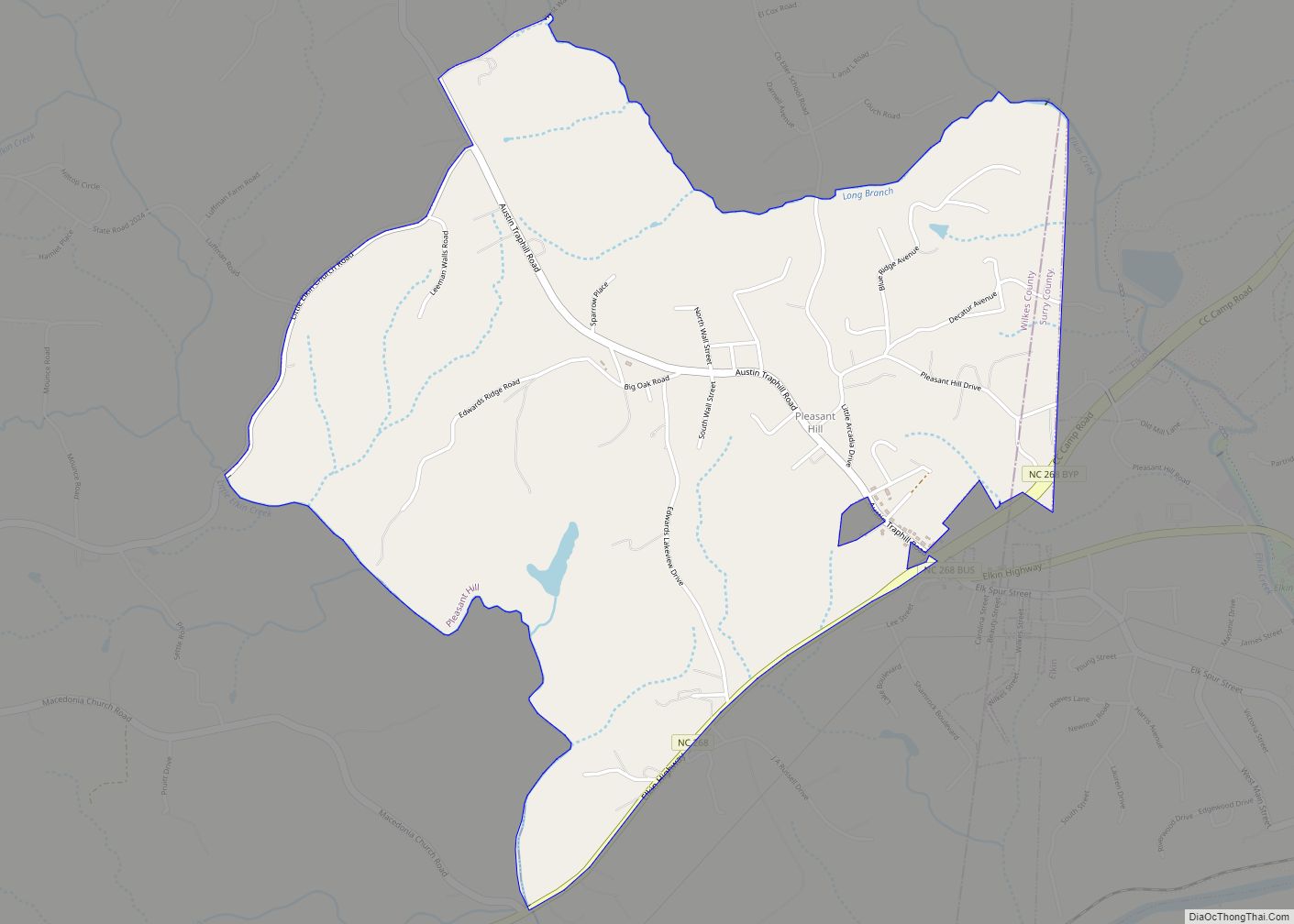
Pleasant Hill is a census-designated place (CDP) in Wilkes County, North Carolina, United States. The population was 1,109 at the 2000 census. Pleasant Hill CDP overview: Name: Pleasant Hill CDP LSAD Code: 57 LSAD Description: CDP (suffix) State: North Carolina County: Wilkes County Elevation: 1,135 ft (346 m) Total Area: 2.59 sq mi (6.70 km²) Land Area: 2.58 sq mi (6.69 km²) Water ... Read more
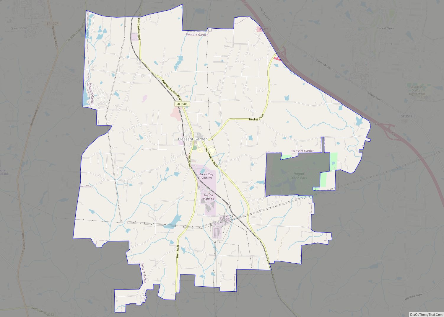
Pleasant Garden is a town in Guilford County, North Carolina, United States. The population was 4,489 at the 2010 census. Pleasant Garden town overview: Name: Pleasant Garden town LSAD Code: 43 LSAD Description: town (suffix) State: North Carolina County: Guilford County Elevation: 850 ft (259 m) Total Area: 15.16 sq mi (39.25 km²) Land Area: 15.04 sq mi (38.95 km²) Water Area: 0.12 sq mi ... Read more
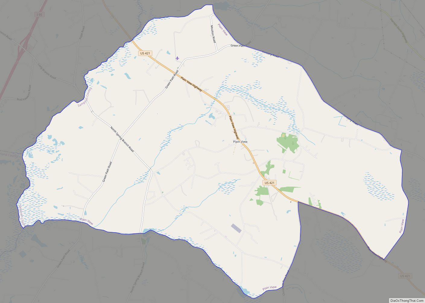
Plain View is a census-designated place (CDP) in Sampson County, North Carolina, United States. The population was 1,820 at the 2000 census. Plain View CDP overview: Name: Plain View CDP LSAD Code: 57 LSAD Description: CDP (suffix) State: North Carolina County: Sampson County Elevation: 203 ft (62 m) Total Area: 16.69 sq mi (43.22 km²) Land Area: 16.65 sq mi (43.13 km²) Water ... Read more
