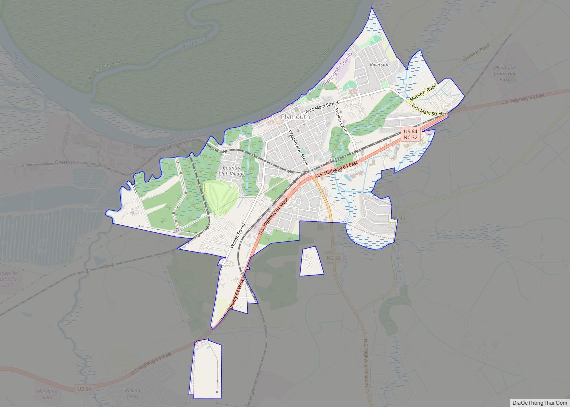
Plymouth is the largest town in Washington County, North Carolina, United States. The population was 3320 at the 2020 Census. It is the county seat of Washington County. Plymouth is located on the Roanoke River about seven miles (11 km) upriver from its mouth into the Albemarle Sound in North Carolina’s Inner Banks region.
| Name: | Plymouth town |
|---|---|
| LSAD Code: | 43 |
| LSAD Description: | town (suffix) |
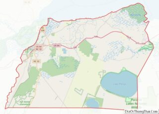
| State: | North Carolina |
| County: | Washington County |
| Elevation: | 13 ft (4 m) |
| Total Area: | 4.03 sq mi (10.45 km²) |
| Land Area: | 4.03 sq mi (10.44 km²) |
| Water Area: | 0.01 sq mi (0.01 km²) |
| Total Population: | 3,320 |
| Population Density: | 824.03/sq mi (318.14/km²) |
| ZIP code: | 27962 |
| Area code: | 252 |
| FIPS code: | 3753040 |
| GNISfeature ID: | 0992600 |
| Website: | www.visitplymouthnc.com |
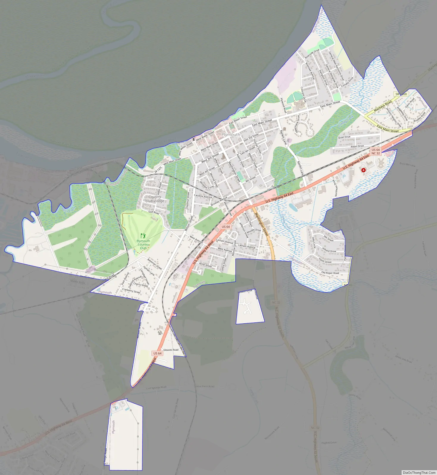
Online Interactive Map
Click on ![]() to view map in "full screen" mode.
to view map in "full screen" mode.
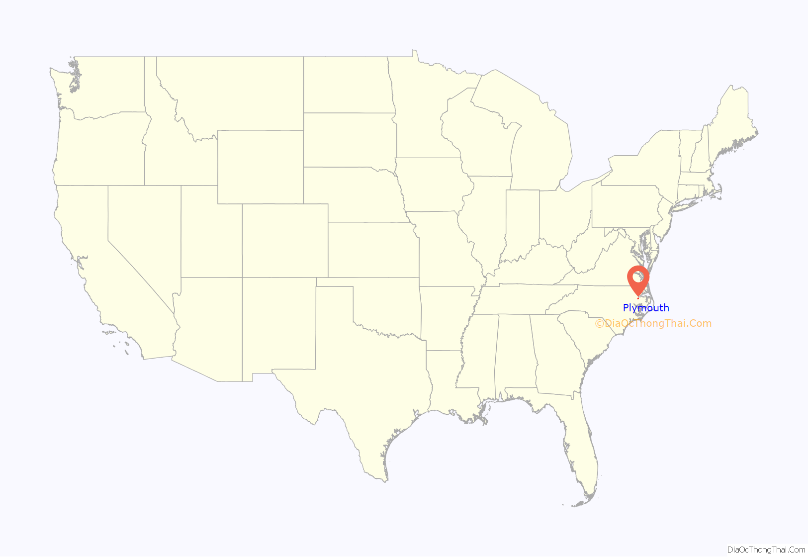
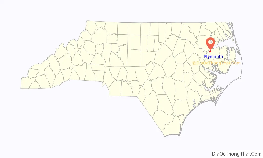
Plymouth location map. Where is Plymouth town?
History
The Moratuc tribe of American Indians was living in a large settlement on Welch Creek near the current Domtar pulp mill site in 1585 when the area was explored by English settlers. Moratuc was an Indian name for the Roanoke River. The Moratuc were probably an Algonquian tribe, but there is debate that they may have been Iroquois.
Plymouth was established in 1787 by Arthur Rhodes on 100 acres (0.40 km) of his Brick House plantation he subdivided into 172 lots. Note that “Brickhouse” is a common local patronym. In 1790, the North Carolina General Assembly named Plymouth a “port of delivery” and in 1808 it was named a “port of entry”. The county seat of Washington County was moved to Plymouth from Lee’s Mill, as Roper, North Carolina, was then known, by special act of the General Assembly on January 31, 1823. A new courthouse was completed by November 1824 on the same site where the present courthouse stands. It stood until 1862 when it caught fire and burned to the ground from a shell fired by a Union gunboat during bombardment of Plymouth.
Plymouth has the historical distinction of being the site of the second-largest battle in North Carolina and its last Confederate victory, the Battle of Plymouth (1864), during the American Civil War. The Confederate ironclad warship CSS Albemarle — and its eventual sinking on October 27, 1864 while moored at a dock in Plymouth — are the centerpieces of this history.
Beginning early in the war and for its remainder, the Union controlled the Albemarle and Pamlico Sounds. The geographical importance for the Northern forces of Plymouth’s location at the mouth of the Roanoke River was the Union desire to push upriver and capture the vital Wilmington and Weldon Railroad line passing through Weldon, North Carolina, which would completely cut off the major supply line for General Robert E. Lee’s army in Virginia from more southerly ports. This would essentially end all materiel support for Lee’s forces and force his defeat or retreat from Virginia.
Fort Branch, located upriver at Hamilton, successfully blocked the Union gunboats and troops sailing upstream from Plymouth at the river bend called Rainbow Branch. The fort held until April 10, 1865, one day after General Lee surrendered at Appomattox Courthouse, Virginia, at which point it was abandoned and its cannons were hurled into the Roanoke River. Thus, the war histories of Fort Branch and Plymouth are intimately connected.
Plymouth State Normal School was established to educate African American teachers. It was moved to Elizabeth City in 1903 and became Elizabeth City State University.
The Port O’Plymouth History Museum, located in the circa 1923 former Atlantic Coast Line Railroad station in downtown Plymouth, has an excellent, nationally recognized collection of Civil War artifacts, including one of the most complete belt-buckle and button collections in the U.S. and a model of the ironclad ram CSS Albemarle.
The Garrett’s Island House, Latham House, Perry-Spruill House, Plymouth Historic District, and Washington County Courthouse are listed on the National Register of Historic Places.
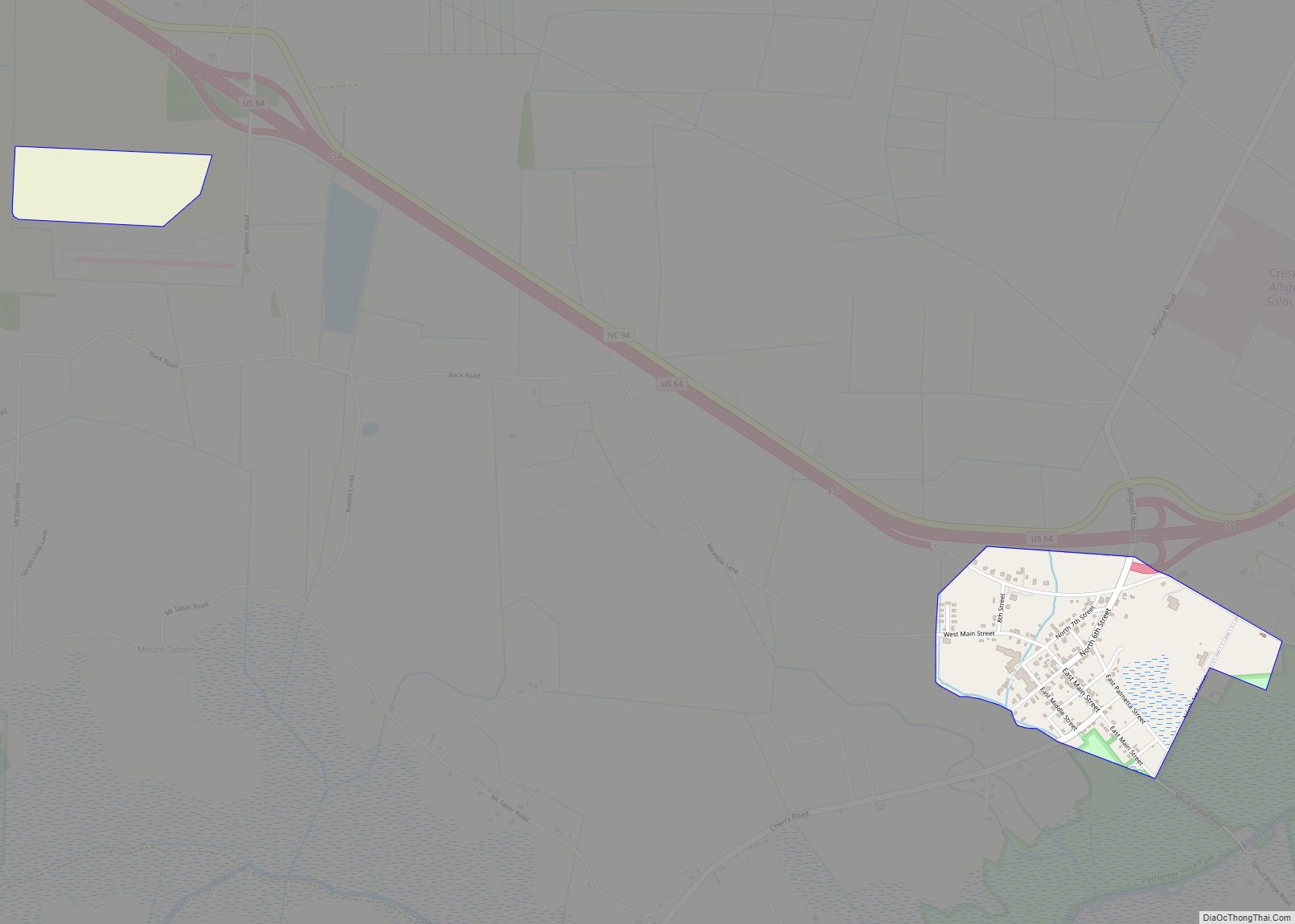
Plymouth Road Map
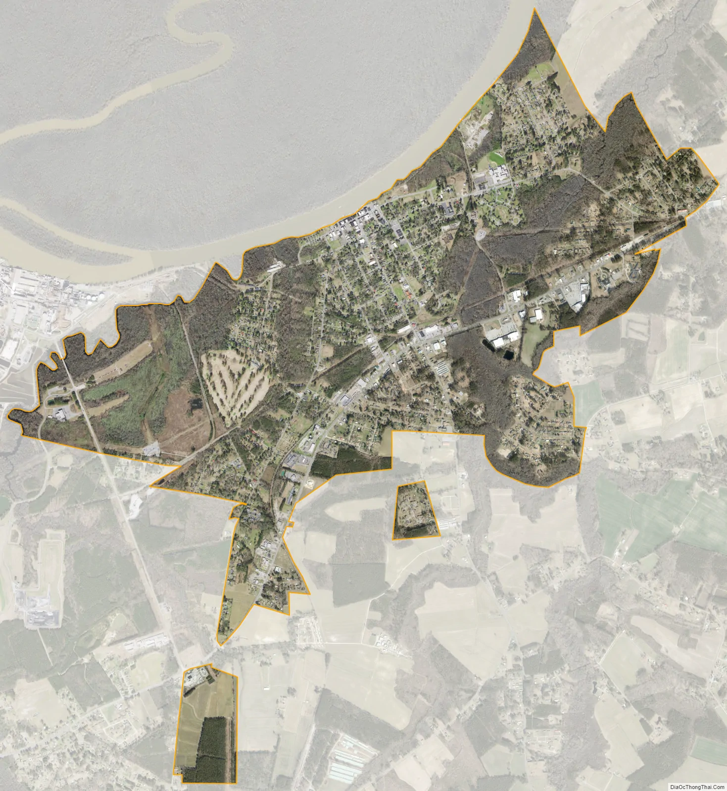
Plymouth city Satellite Map
Geography
According to the United States Census Bureau, the town of Plymouth has a total area of 3.9 square miles (10 km), of which 3.9 square miles (10 km) is land and 0.26% is water.
See also
Map of North Carolina State and its subdivision:- Alamance
- Alexander
- Alleghany
- Anson
- Ashe
- Avery
- Beaufort
- Bertie
- Bladen
- Brunswick
- Buncombe
- Burke
- Cabarrus
- Caldwell
- Camden
- Carteret
- Caswell
- Catawba
- Chatham
- Cherokee
- Chowan
- Clay
- Cleveland
- Columbus
- Craven
- Cumberland
- Currituck
- Dare
- Davidson
- Davie
- Duplin
- Durham
- Edgecombe
- Forsyth
- Franklin
- Gaston
- Gates
- Graham
- Granville
- Greene
- Guilford
- Halifax
- Harnett
- Haywood
- Henderson
- Hertford
- Hoke
- Hyde
- Iredell
- Jackson
- Johnston
- Jones
- Lee
- Lenoir
- Lincoln
- Macon
- Madison
- Martin
- McDowell
- Mecklenburg
- Mitchell
- Montgomery
- Moore
- Nash
- New Hanover
- Northampton
- Onslow
- Orange
- Pamlico
- Pasquotank
- Pender
- Perquimans
- Person
- Pitt
- Polk
- Randolph
- Richmond
- Robeson
- Rockingham
- Rowan
- Rutherford
- Sampson
- Scotland
- Stanly
- Stokes
- Surry
- Swain
- Transylvania
- Tyrrell
- Union
- Vance
- Wake
- Warren
- Washington
- Watauga
- Wayne
- Wilkes
- Wilson
- Yadkin
- Yancey
- Alabama
- Alaska
- Arizona
- Arkansas
- California
- Colorado
- Connecticut
- Delaware
- District of Columbia
- Florida
- Georgia
- Hawaii
- Idaho
- Illinois
- Indiana
- Iowa
- Kansas
- Kentucky
- Louisiana
- Maine
- Maryland
- Massachusetts
- Michigan
- Minnesota
- Mississippi
- Missouri
- Montana
- Nebraska
- Nevada
- New Hampshire
- New Jersey
- New Mexico
- New York
- North Carolina
- North Dakota
- Ohio
- Oklahoma
- Oregon
- Pennsylvania
- Rhode Island
- South Carolina
- South Dakota
- Tennessee
- Texas
- Utah
- Vermont
- Virginia
- Washington
- West Virginia
- Wisconsin
- Wyoming