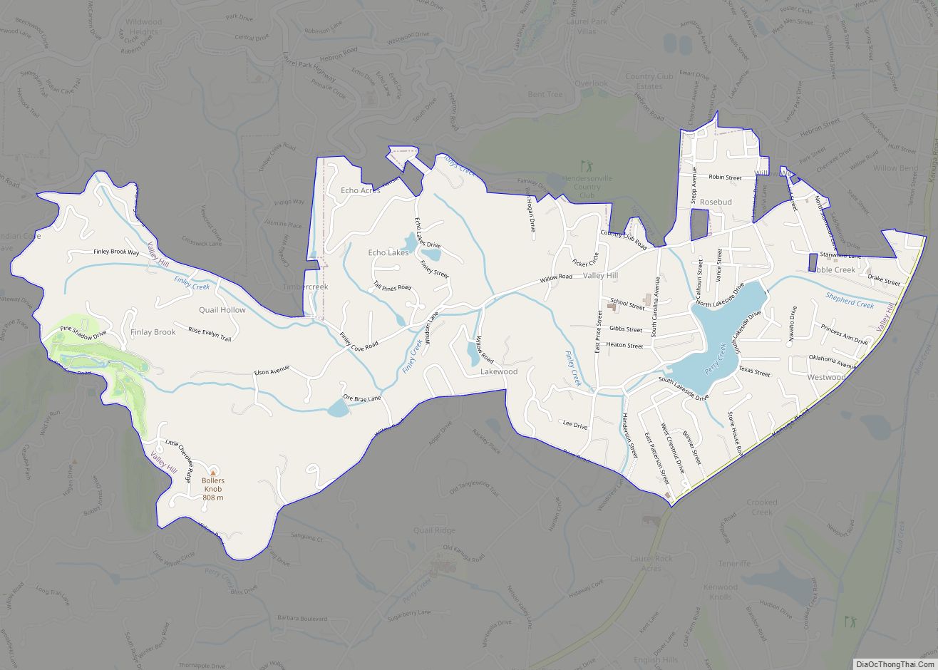
Valley Hill is an unincorporated community and census-designated place (CDP) in Henderson County, North Carolina, United States. The population was 2,070 at the 2010 census. It is part of the Asheville Metropolitan Statistical Area. Valley Hill CDP overview: Name: Valley Hill CDP LSAD Code: 57 LSAD Description: CDP (suffix) State: North Carolina County: Henderson County ... Read more
North Carolina Cities and Places
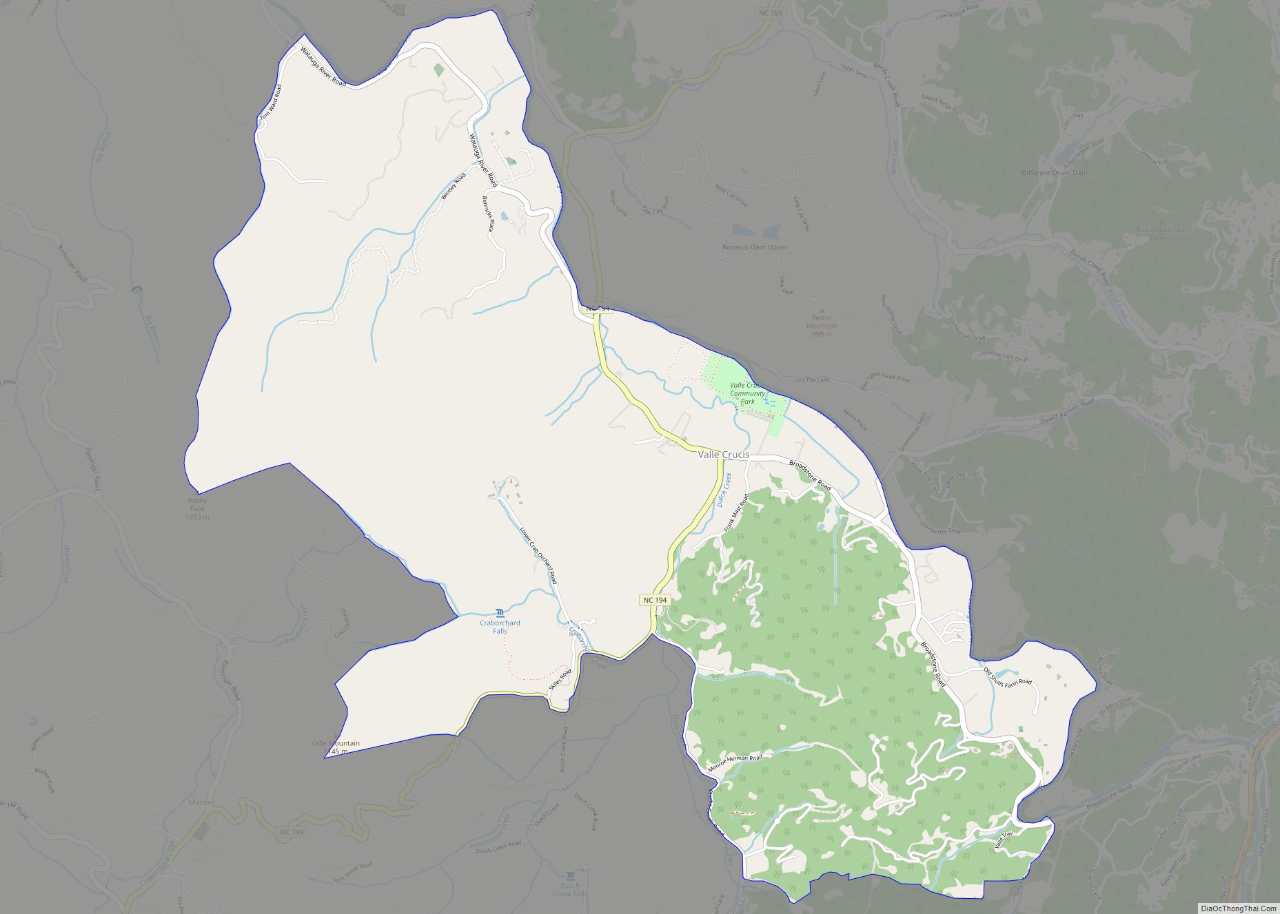
Valle Crucis in an unincorporated community and census-designated place located in Watauga County, North Carolina, United States. The name of the town is Latin for “Vale of the Cross,” a reference to a valley in the area where three streams converge to form a shape similar to an archbishop’s cross. The community is located along ... Read more
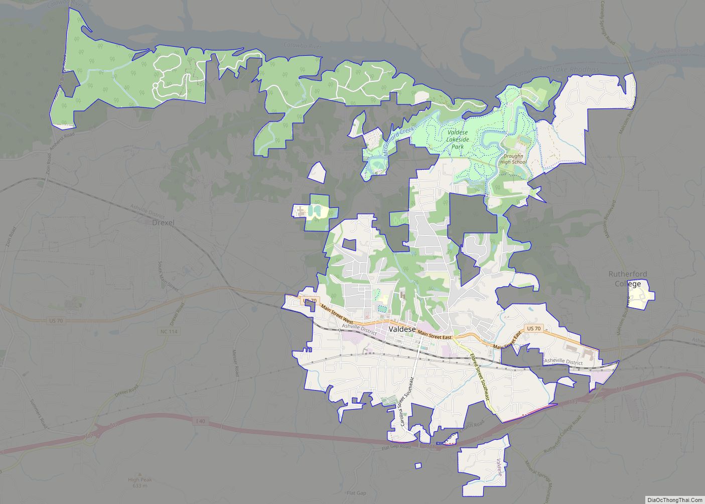
Valdese is a town in Burke County, North Carolina, United States. The population was 4,689 at the 2020 census. It is part of the Hickory–Lenoir–Morganton Metropolitan Statistical Area. One of the largest Waldensian congregations in the United States was founded in the town in the late nineteenth century, now known as the Waldensian Presbyterian Church. ... Read more
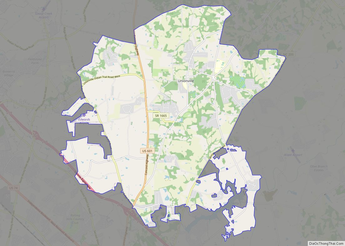
Unionville is a rural town in Union County, North Carolina, United States. The population was 5,929 at the 2010 census. Unionville town overview: Name: Unionville town LSAD Code: 43 LSAD Description: town (suffix) State: North Carolina County: Union County Elevation: 671 ft (180 m) Total Area: 29.40 sq mi (76.16 km²) Land Area: 29.22 sq mi (75.67 km²) Water Area: 0.19 sq mi (0.49 km²) Total ... Read more
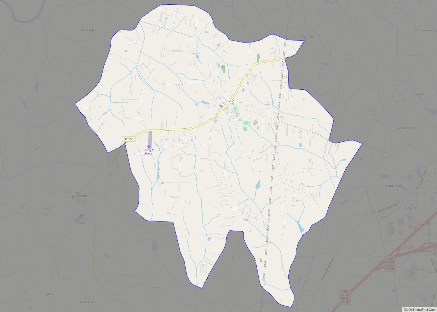
Tyro is an unincorporated community and census-designated place (CDP) located 7 miles (11 km) west of Lexington and 24 miles (39 km) south of Winston-Salem in Davidson County, North Carolina, United States. As of the 2010 census, the community had a population of 3,879. Tyro CDP overview: Name: Tyro CDP LSAD Code: 57 LSAD Description: CDP (suffix) ... Read more
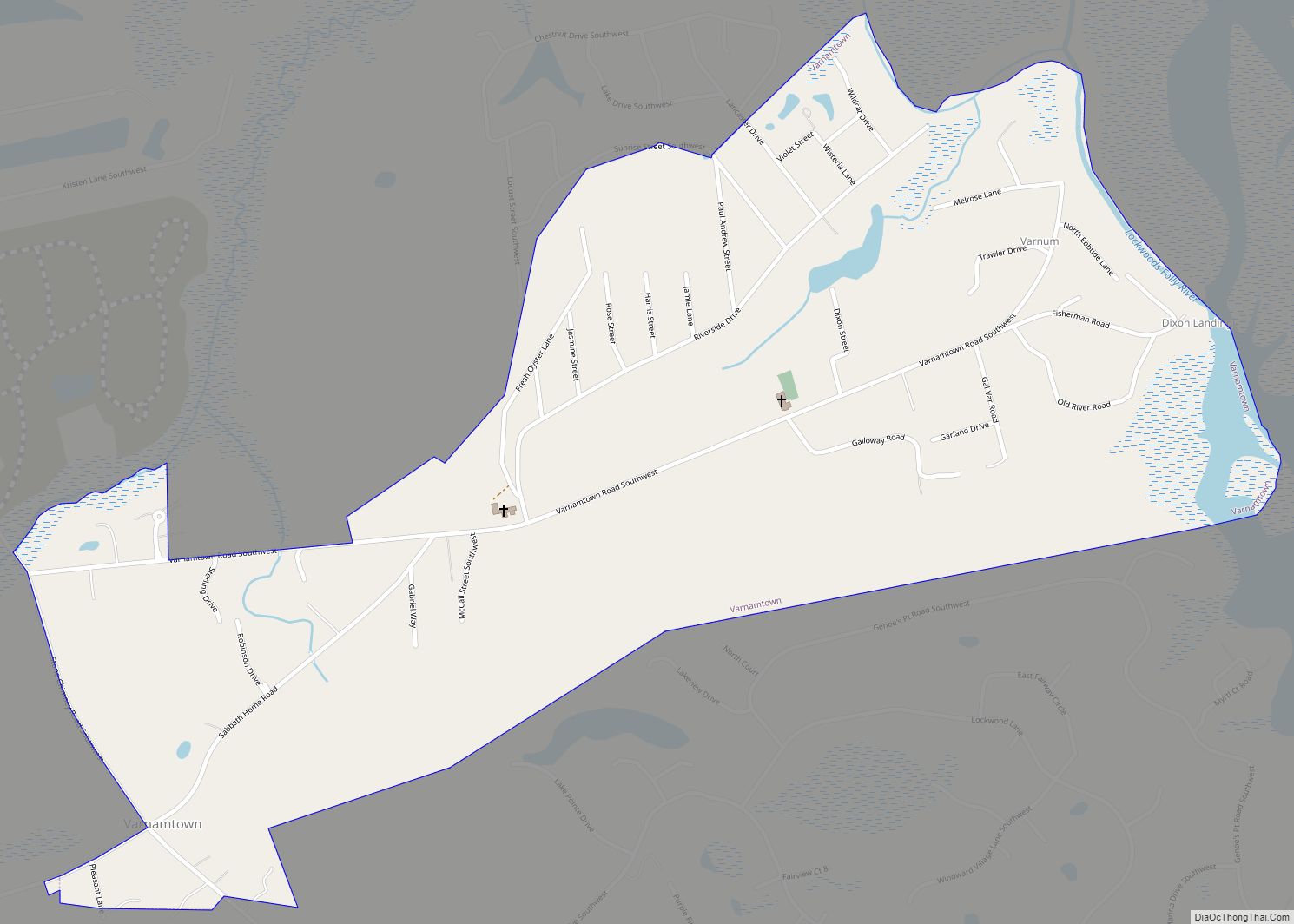
Varnamtown is a town in Brunswick County, North Carolina, United States situated on the banks of the Lockwood Folly River. The population was 541 at the 2010 census. It is part of the Myrtle Beach metropolitan area. Varnamtown town overview: Name: Varnamtown town LSAD Code: 43 LSAD Description: town (suffix) State: North Carolina County: Brunswick ... Read more
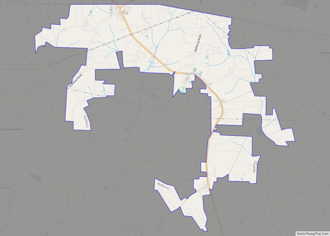
Wallburg is a town in Davidson County, North Carolina, United States. It was incorporated in 2004. As of the 2020 census it had a population of 3,051. Wallburg town overview: Name: Wallburg town LSAD Code: 43 LSAD Description: town (suffix) State: North Carolina County: Davidson County Elevation: 920 ft (283 m) Total Area: 5.59 sq mi (14.48 km²) Land Area: ... Read more
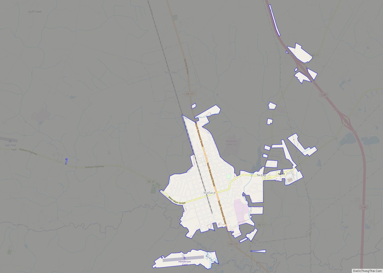
Wallace is a town in Duplin and Pender counties in the U.S. state of North Carolina. The population was 3,880 at the 2010 census. The Pender County portion of Wallace is part of the Wilmington Metropolitan Statistical Area. Wallace town overview: Name: Wallace town LSAD Code: 43 LSAD Description: town (suffix) State: North Carolina County: ... Read more
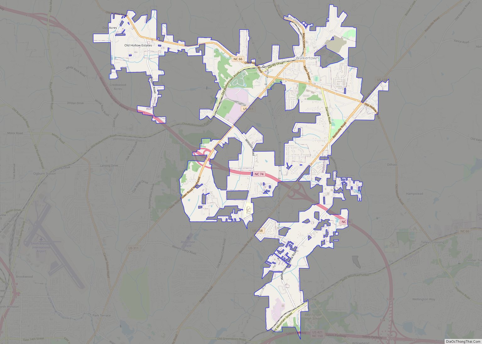
Walkertown is a town in Forsyth County, North Carolina, United States and a rural area outside of Winston-Salem. It is part of the Piedmont Triad. The population was 5,695 at the 2020 census. Walkertown town overview: Name: Walkertown town LSAD Code: 43 LSAD Description: town (suffix) State: North Carolina County: Forsyth County Elevation: 991 ft (302 m) ... Read more
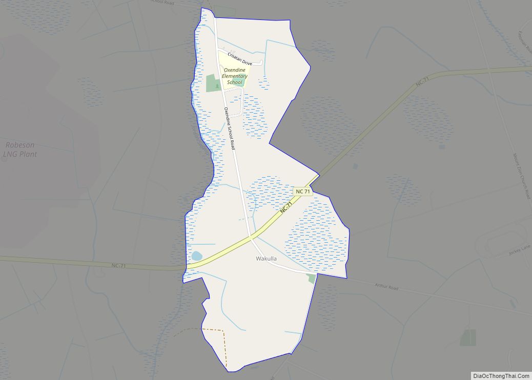
Wakulla is a census-designated place (CDP) in Robeson County, North Carolina, United States. During the 2010 census, the population was reported to be 105. Wakulla CDP overview: Name: Wakulla CDP LSAD Code: 57 LSAD Description: CDP (suffix) State: North Carolina County: Robeson County Elevation: 194 ft (58 m) Total Area: 0.86 sq mi (2.23 km²) Land Area: 0.86 sq mi (2.23 km²) Water ... Read more
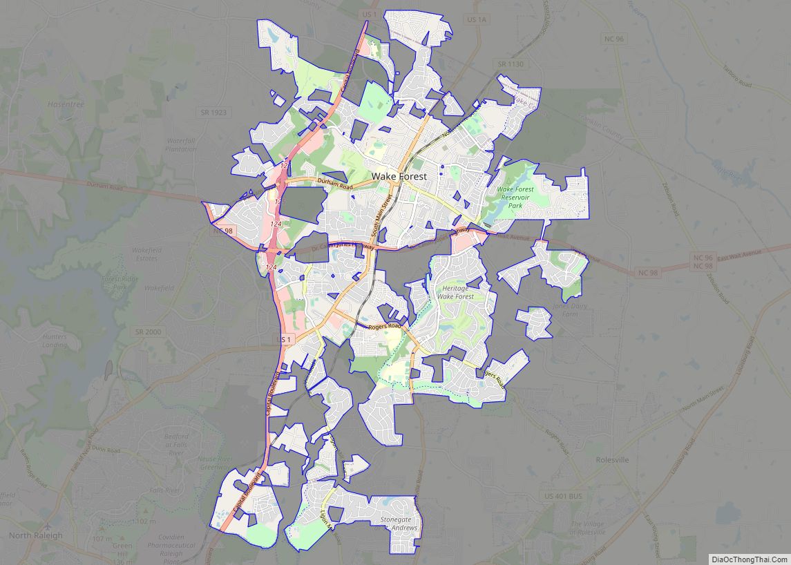
Wake Forest is a town in Franklin, Granville and Wake counties in the U.S. state of North Carolina; located almost entirely in Wake County, it lies just north of the state capital, Raleigh. At the 2020 census, the population was 47,601. That is up from 30,117 in 2010, up from 12,588 in 2000. The U.S. ... Read more
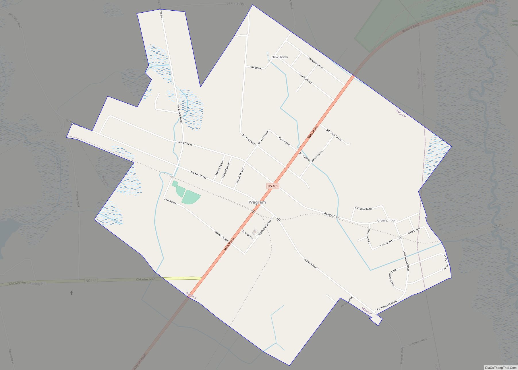
Wagram is a town in Scotland County, North Carolina, United States. The population was 840 at the 2010 Census. The town was named for the Battle of Wagram, a Napoleonic battle at Deutsch-Wagram in Austria. Wagram town overview: Name: Wagram town LSAD Code: 43 LSAD Description: town (suffix) State: North Carolina County: Scotland County Elevation: ... Read more
