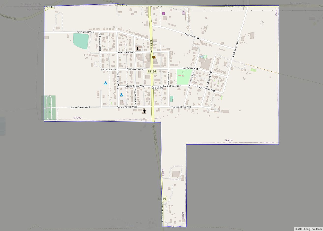
Gackle is a town in Logan County, North Dakota, United States. The population was 281 at the 2020 census. Gackle city overview: Name: Gackle city LSAD Code: 25 LSAD Description: city (suffix) State: North Dakota County: Logan County Founded: 1904 Elevation: 1,936 ft (590 m) Total Area: 0.55 sq mi (1.43 km²) Land Area: 0.54 sq mi (1.39 km²) Water Area: 0.01 sq mi (0.03 km²) ... Read more
North Dakota Cities and Places
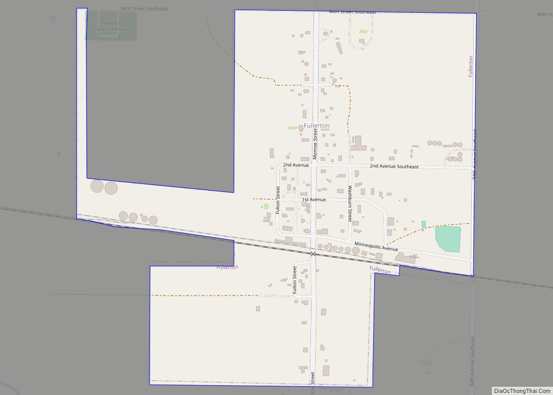
Fullerton is a town in Dickey County, North Dakota, United States. The population was 62 at the 2020 census. Fullerton city overview: Name: Fullerton city LSAD Code: 25 LSAD Description: city (suffix) State: North Dakota County: Dickey County Founded: 1887 Elevation: 1,444 ft (440 m) Total Area: 0.39 sq mi (1.01 km²) Land Area: 0.39 sq mi (1.01 km²) Water Area: 0.00 sq mi (0.00 km²) ... Read more
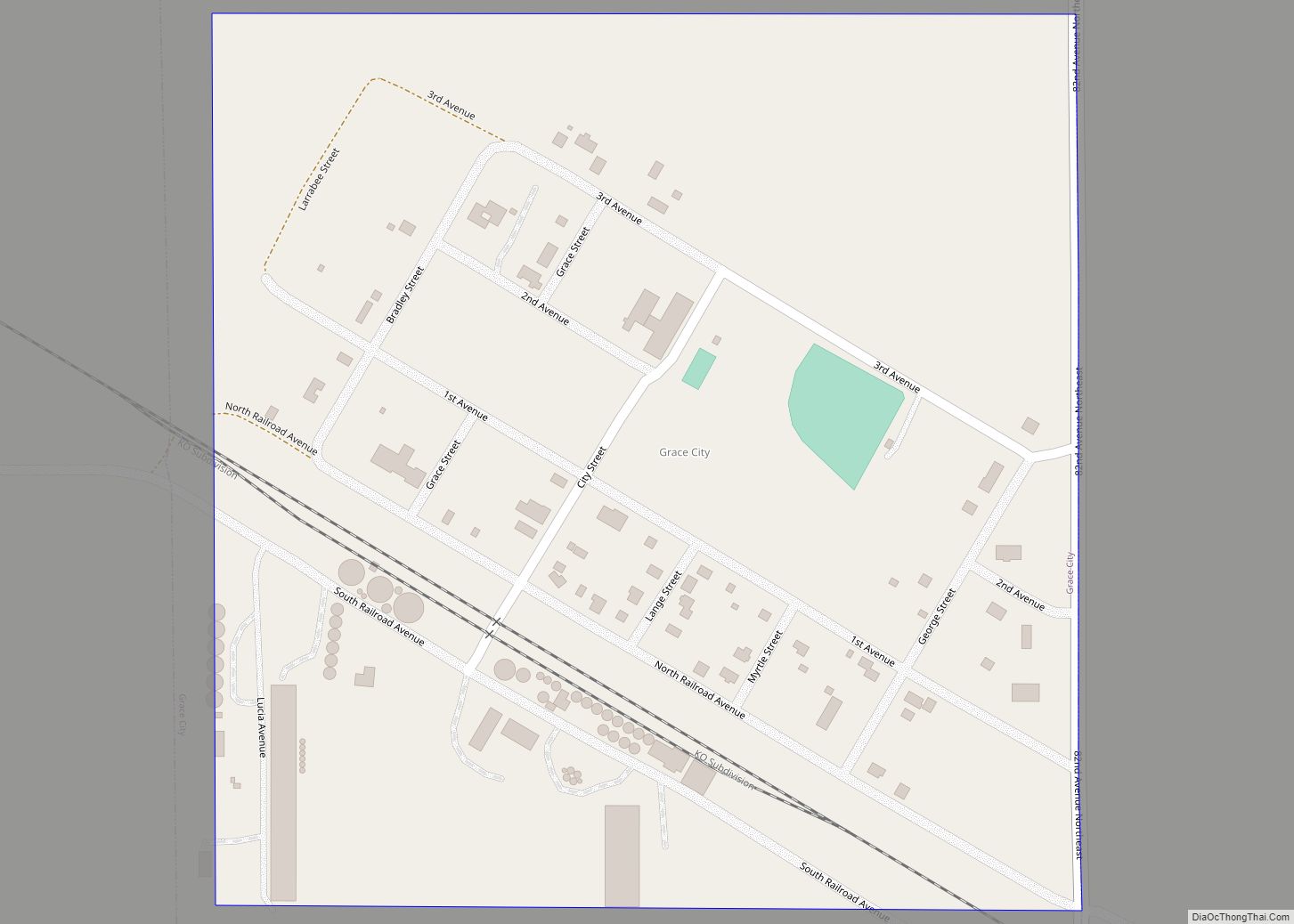
Grace City is a city in Foster County, North Dakota, United States. The population was 53 at the 2020 census. Grace City was founded in 1910. Grace City city overview: Name: Grace City city LSAD Code: 25 LSAD Description: city (suffix) State: North Dakota County: Foster County Founded: 1910 Elevation: 1,512 ft (461 m) Total Area: 0.24 sq mi ... Read more
Goodrich is a city in Sheridan County, North Dakota, United States. The population was 106 at the 2020 census. Goodrich was founded in 1901. Goodrich city overview: Name: Goodrich city LSAD Code: 25 LSAD Description: city (suffix) State: North Dakota County: Sheridan County Founded: 1901 Elevation: 1,982 ft (604 m) Total Area: 0.29 sq mi (0.76 km²) Land Area: 0.29 sq mi ... Read more
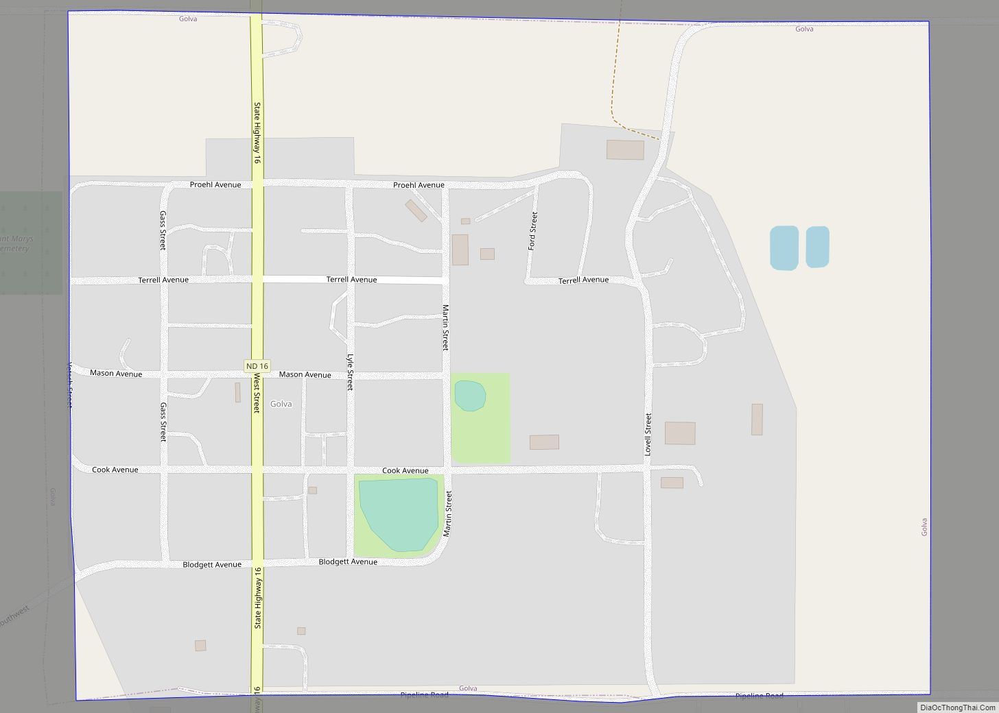
Golva is a city in Golden Valley County, North Dakota, United States. The population was 84 at the 2020 census. Golva was founded in 1915. Golva city overview: Name: Golva city LSAD Code: 25 LSAD Description: city (suffix) State: North Dakota County: Golden Valley County Founded: 1915 Elevation: 2,831 ft (863 m) Total Area: 0.32 sq mi (0.83 km²) Land ... Read more
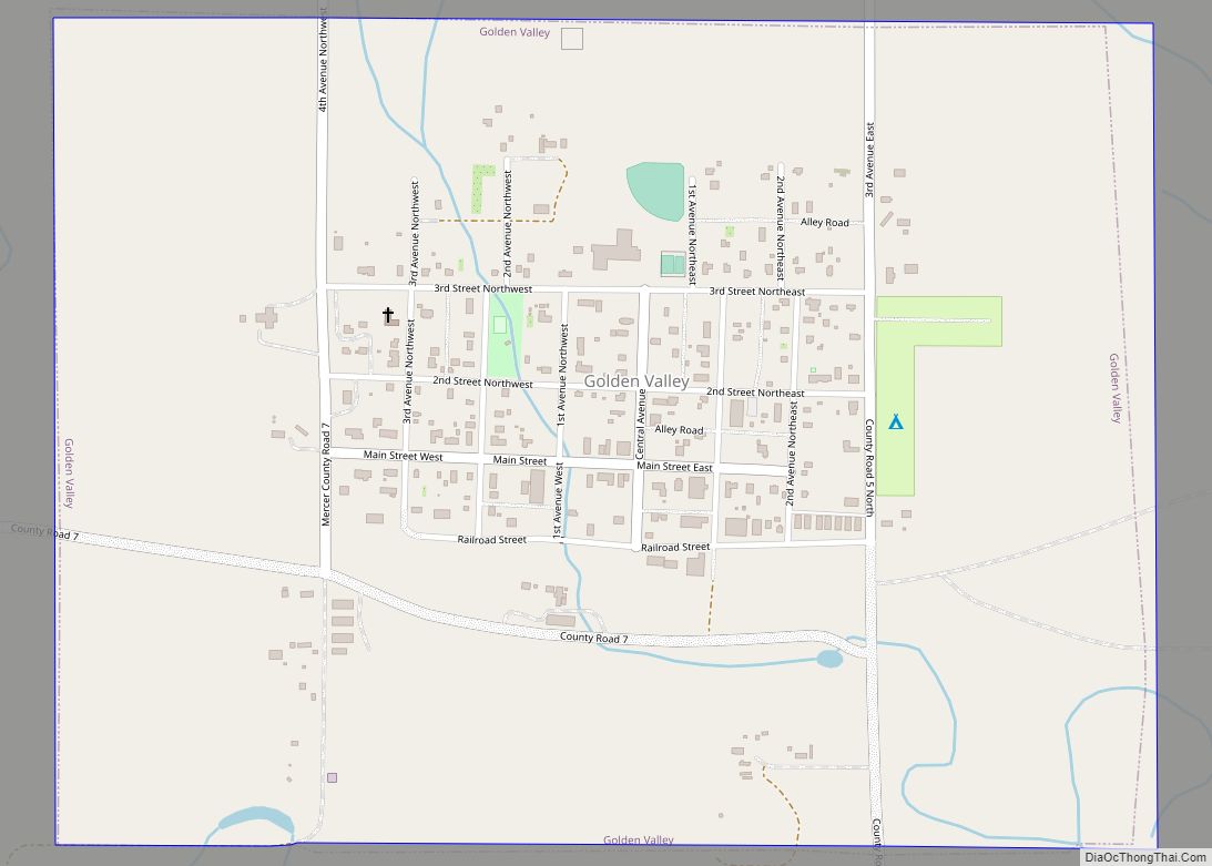
Golden Valley is a city in Mercer County, North Dakota, United States. The population was 182 at the 2020 census. Golden Valley was founded in 1913. Golden Valley city overview: Name: Golden Valley city LSAD Code: 25 LSAD Description: city (suffix) State: North Dakota County: Mercer County Founded: 1913 Elevation: 1,955 ft (596 m) Total Area: 0.75 sq mi ... Read more
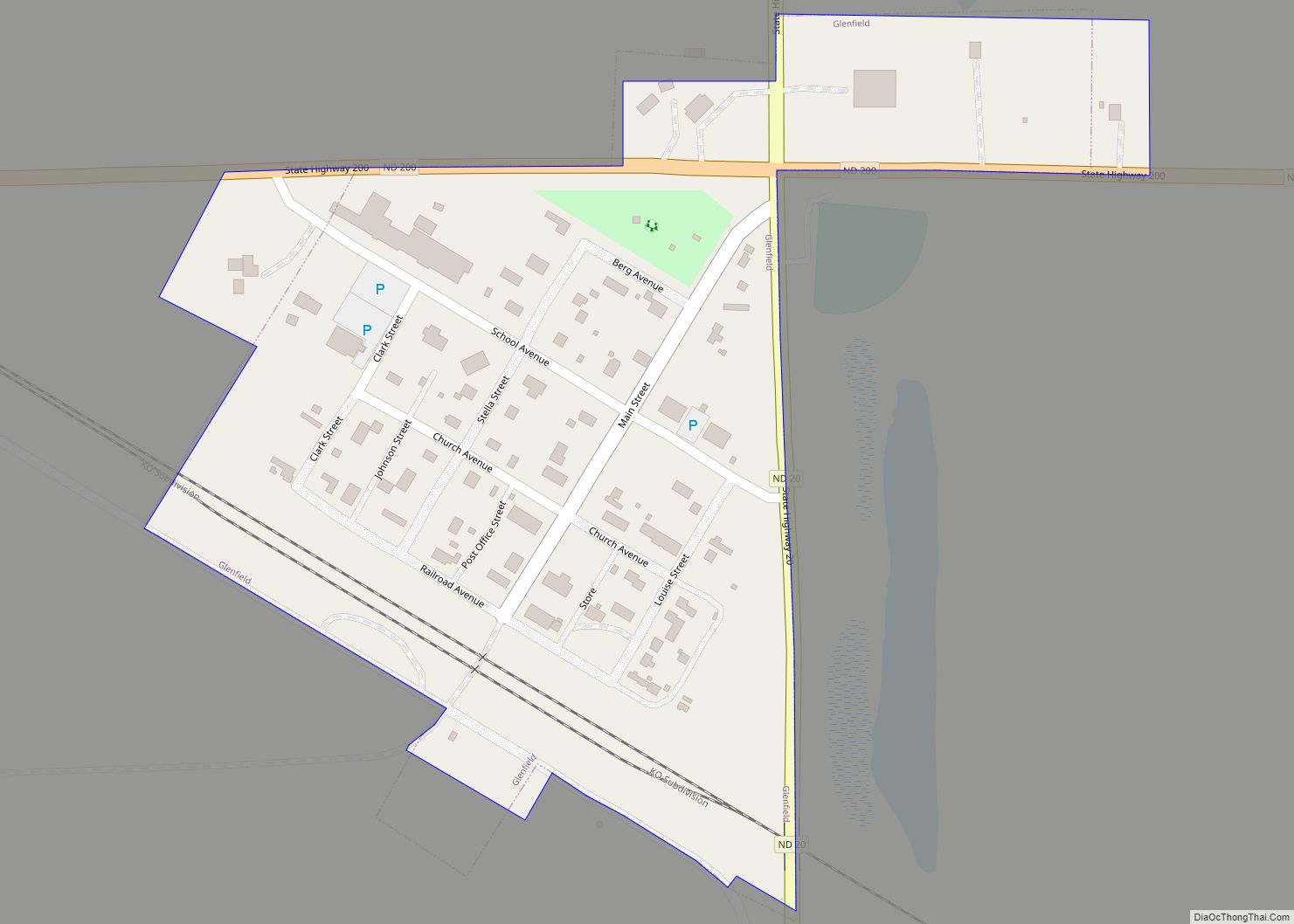
Glenfield is a rural village in Foster County, North Dakota, United States. The population was 94 at the 2020 census. Glenfield was founded in 1912. Glenfield city overview: Name: Glenfield city LSAD Code: 25 LSAD Description: city (suffix) State: North Dakota County: Foster County Founded: 1912 Elevation: 1,493 ft (455 m) Total Area: 0.14 sq mi (0.35 km²) Land Area: ... Read more
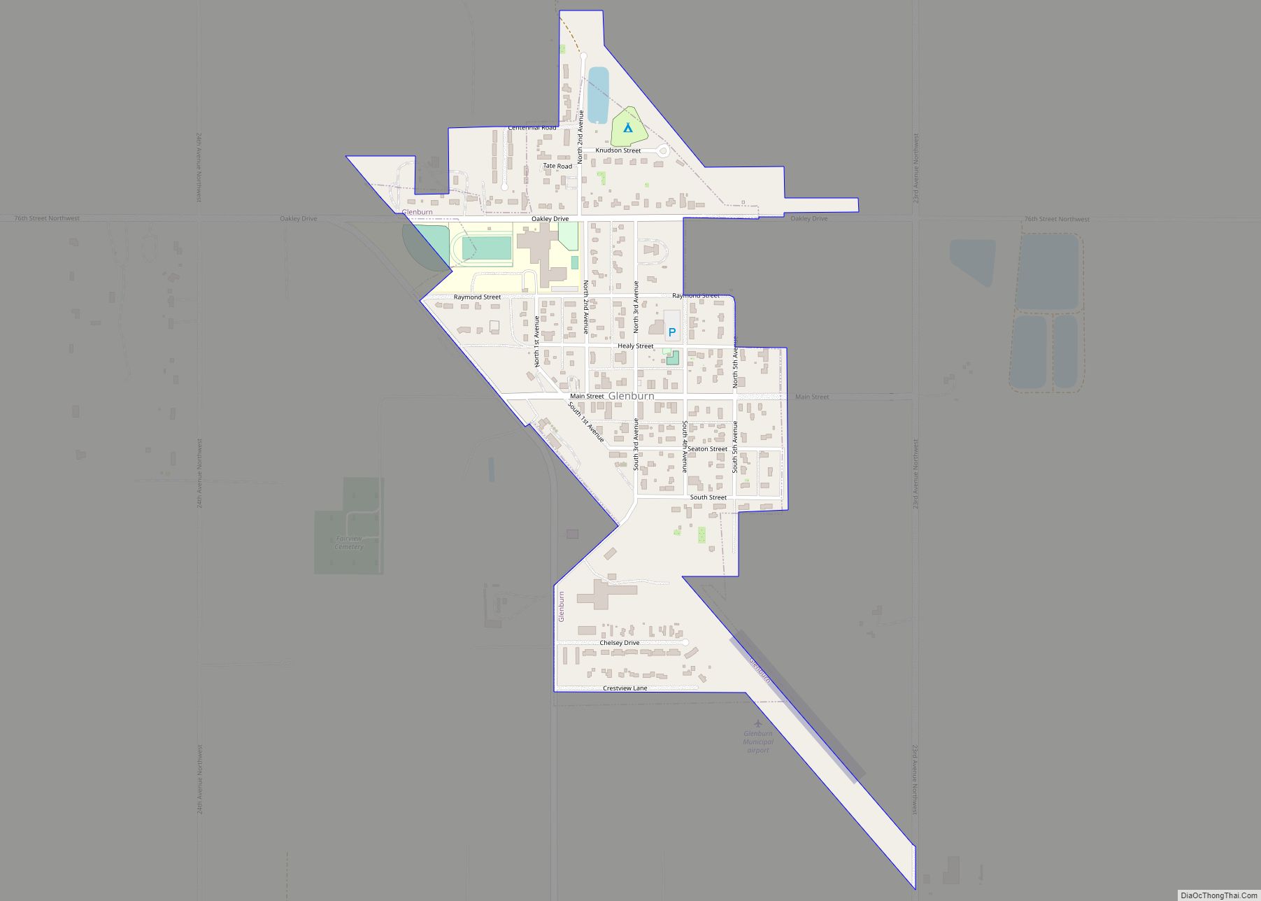
Glenburn is a city in Renville County, North Dakota, United States. The population was 404 at the 2020 census. It is part of the Minot Micropolitan Statistical Area. Glenburn was founded in 1903. Glenburn city overview: Name: Glenburn city LSAD Code: 25 LSAD Description: city (suffix) State: North Dakota County: Renville County Founded: 1903 Elevation: ... Read more
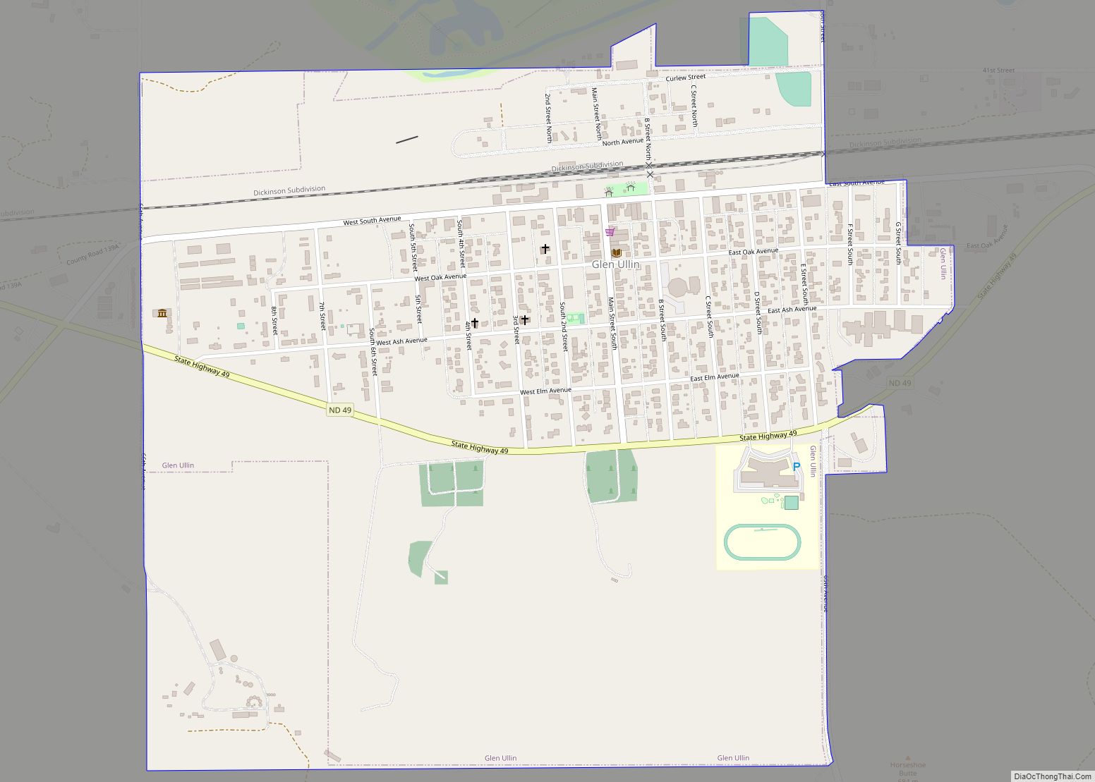
Glen Ullin is a city in Morton County, North Dakota, United States. It is part of the “Bismarck, ND Metropolitan Statistical Area” or “Bismarck-Mandan”. The population was 732 at the 2020 census. Glen Ullin city overview: Name: Glen Ullin city LSAD Code: 25 LSAD Description: city (suffix) State: North Dakota County: Morton County Elevation: 2,080 ft ... Read more
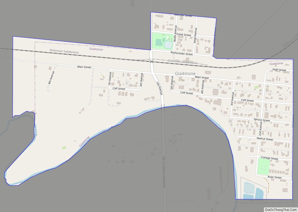
Gladstone is a city in Stark County, North Dakota, United States. The population was 271 at the 2020 census. It is part of the Dickinson Micropolitan Statistical Area. Gladstone city overview: Name: Gladstone city LSAD Code: 25 LSAD Description: city (suffix) State: North Dakota County: Stark County Elevation: 2,349 ft (716 m) Total Area: 0.37 sq mi (0.97 km²) Land ... Read more
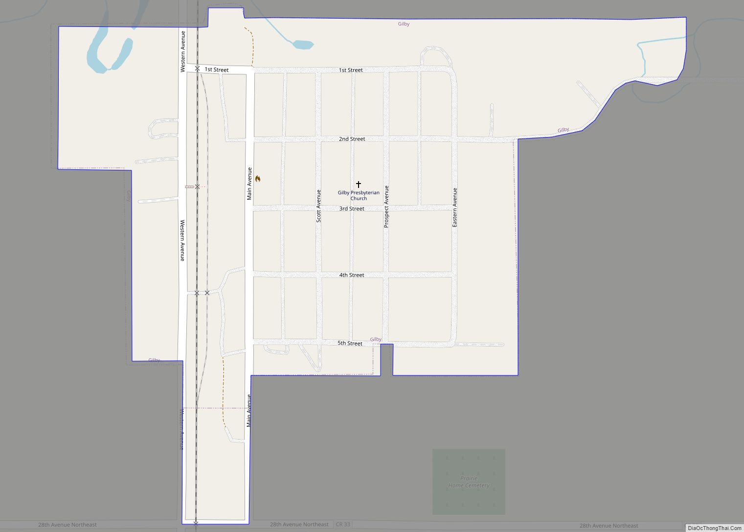
Gilby is a city in Grand Forks County, North Dakota, United States. It is part of the “Grand Forks, ND–MN Metropolitan Statistical Area” or “Greater Grand Forks”. The population was 243 at the 2020 census. Gilby was founded in 1887. Gilby city overview: Name: Gilby city LSAD Code: 25 LSAD Description: city (suffix) State: North ... Read more
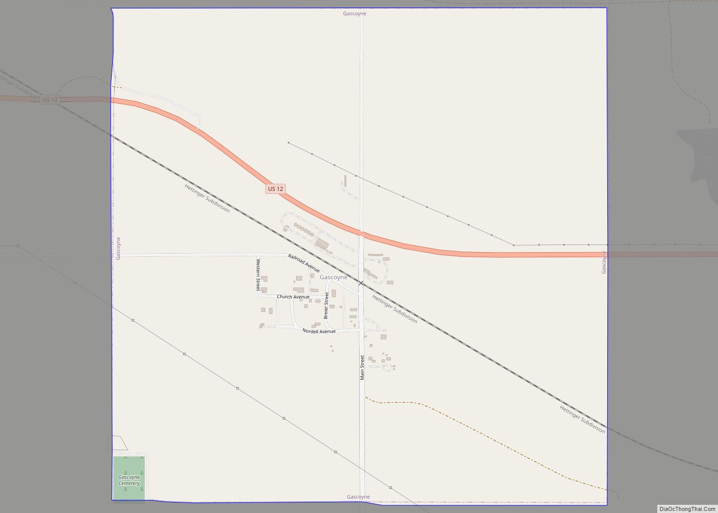
Gascoyne is a village in Bowman County, North Dakota, United States. The population was 21 at the 2020 census. Gascoyne city overview: Name: Gascoyne city LSAD Code: 25 LSAD Description: city (suffix) State: North Dakota County: Bowman County Founded: 1907 Elevation: 2,762 ft (842 m) Total Area: 1.00 sq mi (2.59 km²) Land Area: 1.00 sq mi (2.59 km²) Water Area: 0.00 sq mi (0.00 km²) ... Read more
