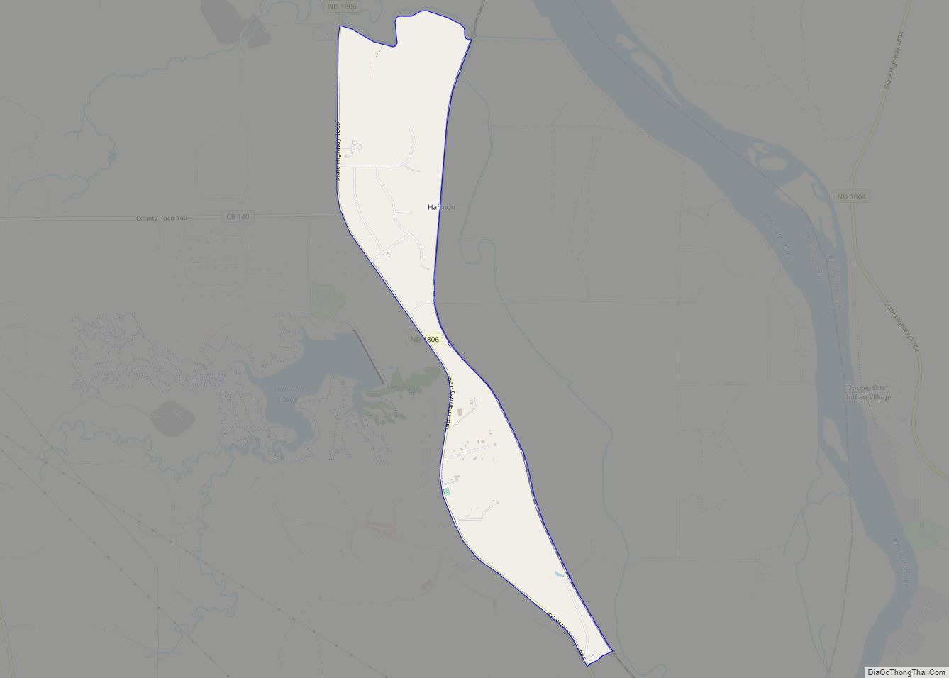
Map of Hansboro city
Hansboro is a city in Towner County, North Dakota, United States. The population was 15 at the 2020 census. Hansboro city overview: Name: Hansboro city LSAD Code: 25 LSAD Description: city (suffix) State: North Dakota County: Towner County Elevation: 1,604 ft (489 m) Total Area: 0.19 sq mi (0.49 km²) Land Area: 0.19 sq mi (0.49 km²) Water Area: 0.00 sq mi (0.00 km²) Total Population: ... Read more
Map of Hansboro city
Map of Hannah city
Hannah is a city in Cavalier County, North Dakota, United States. The population was 8 at the 2020 census. Hannah was founded in 1897. Hannah city overview: Name: Hannah city LSAD Code: 25 LSAD Description: city (suffix) State: North Dakota County: Cavalier County Founded: 1897 Elevation: 1,565 ft (477 m) Total Area: 0.19 sq mi (0.49 km²) Land Area: 0.19 sq mi ... Read more
Map of Hannah city
Map of Hannaford city
Hannaford is a city in Griggs County, North Dakota, United States. The population was 126 at the 2020 census. Hannaford was founded in 1883. Hannaford city overview: Name: Hannaford city LSAD Code: 25 LSAD Description: city (suffix) State: North Dakota County: Griggs County Founded: 1883 Elevation: 1,414 ft (431 m) Total Area: 0.22 sq mi (0.57 km²) Land Area: 0.22 sq mi ... Read more
Map of Hannaford city
Map of Hankinson city
Hankinson is a city in Richland County, North Dakota, United States. The population was 921 at the 2020 census. Hankinson was founded in 1886. It is part of the Wahpeton, ND–MN Micropolitan Statistical Area. Hankinson city overview: Name: Hankinson city LSAD Code: 25 LSAD Description: city (suffix) State: North Dakota County: Richland County Founded: 1886 ... Read more
Map of Hankinson city
Map of Hampden city, North Dakota
Hampden is a tiny city in Ramsey County, North Dakota, United States, which was founded in 1903. The population was 29 at the 2020 census. Hampden city overview: Name: Hampden city LSAD Code: 25 LSAD Description: city (suffix) State: North Dakota County: Ramsey County Founded: 1903 Elevation: 1,572 ft (479 m) Total Area: 0.17 sq mi (0.45 km²) Land Area: ... Read more
Map of Hampden city, North Dakota
Map of Hamilton city, North Dakota
Hamilton is a city in Pembina County, North Dakota, United States. The population was 46 at the 2020 census. Hamilton city overview: Name: Hamilton city LSAD Code: 25 LSAD Description: city (suffix) State: North Dakota County: Pembina County Founded: 1882 Elevation: 827 ft (252 m) Total Area: 0.28 sq mi (0.74 km²) Land Area: 0.28 sq mi (0.74 km²) Water Area: 0.00 sq mi (0.00 km²) ... Read more
Map of Hamilton city, North Dakota
Map of Hamberg city
Hamberg is a city in Wells County, North Dakota, United States. The population was 11 at the 2020 census. Hamberg city overview: Name: Hamberg city LSAD Code: 25 LSAD Description: city (suffix) State: North Dakota County: Wells County Founded: 1910 Elevation: 1,549 ft (472 m) Total Area: 0.41 sq mi (1.05 km²) Land Area: 0.41 sq mi (1.05 km²) Water Area: 0.00 sq mi (0.00 km²) ... Read more
Map of Hamberg city
Map of Halliday city
Halliday is a city in Dunn County, North Dakota, United States. The population was 241 at the 2020 census. Halliday was founded in 1914. Halliday was originally two miles farther north. It moved in 1914 to be near the new Mandan to Killdeer railroad line. In 1900, the first post office was located on William ... Read more
Map of Halliday city
Map of Hazen city, North Dakota
Hazen is a city in Mercer County, North Dakota, United States. The population was 2,281 at the 2020 census. Hazen was founded in 1913. Hazen has a K–12 school system. It is located about fifteen minutes south of Lake Sakakawea, the largest lake in North Dakota and the third largest man-made lake in the United ... Read more
Map of Hazen city, North Dakota
Map of Hazelton city, North Dakota
Hazelton is a city in Emmons County, North Dakota, United States. The population was 223 at the 2020 census. Hazelton city overview: Name: Hazelton city LSAD Code: 25 LSAD Description: city (suffix) State: North Dakota County: Emmons County Founded: 1902 Elevation: 1,991 ft (607 m) Total Area: 0.38 sq mi (0.99 km²) Land Area: 0.38 sq mi (0.99 km²) Water Area: 0.00 sq mi (0.00 km²) ... Read more
Map of Hazelton city, North Dakota
Map of Haynes city, North Dakota
Haynes is a city in Adams County, North Dakota, United States. The population was 15 at the 2020 census. Haynes was founded as Gadsden in 1906 along the Milwaukee Road’s transcontinental rail line known as the Pacific Extension. The name was changed to Haynes in 1907 to honor George B. Haynes, president of the Milwaukee ... Read more
Map of Haynes city, North Dakota
Map of Havana city, North Dakota
Havana is a city in Sargent County, North Dakota, United States. The population was 67 at the 2020 census. Havana was founded in 1887. Havana city overview: Name: Havana city LSAD Code: 25 LSAD Description: city (suffix) State: North Dakota County: Sargent County Founded: 1887 Elevation: 1,296 ft (395 m) Total Area: 0.38 sq mi (0.98 km²) Land Area: 0.38 sq mi ... Read more
Map of Havana city, North Dakota