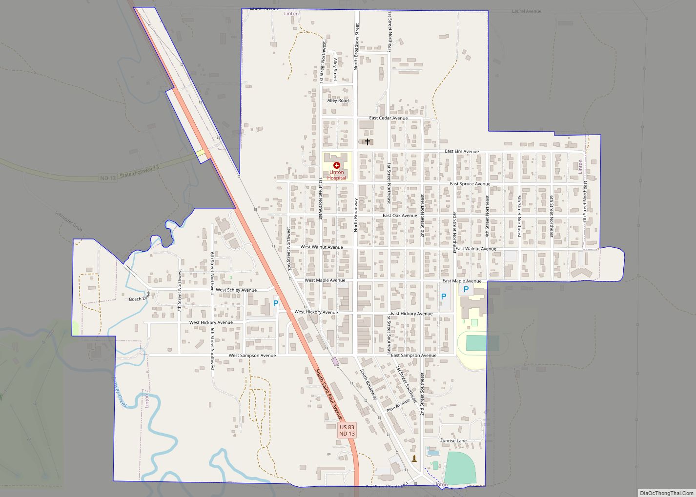
Linton is a city in and the county seat of Emmons County, North Dakota, United States. The population was 1,071 at the 2020 census. When compared with the other 356 cities in North Dakota, Linton ranks in the top twelve percent based on the number of its residents. The city serves as a governmental, commercial ... Read more
North Dakota Cities and Places
Lincoln is a city in Burleigh County, North Dakota, United States. It is a suburb of adjacent Bismarck, and also a core city of the Bismarck-Mandan Metropolitan Statistical Area. The population was 4,257 at the 2020 census, making it the fourteenth largest city in North Dakota. Lincoln was founded in 1977. Lincoln city overview: Name: ... Read more
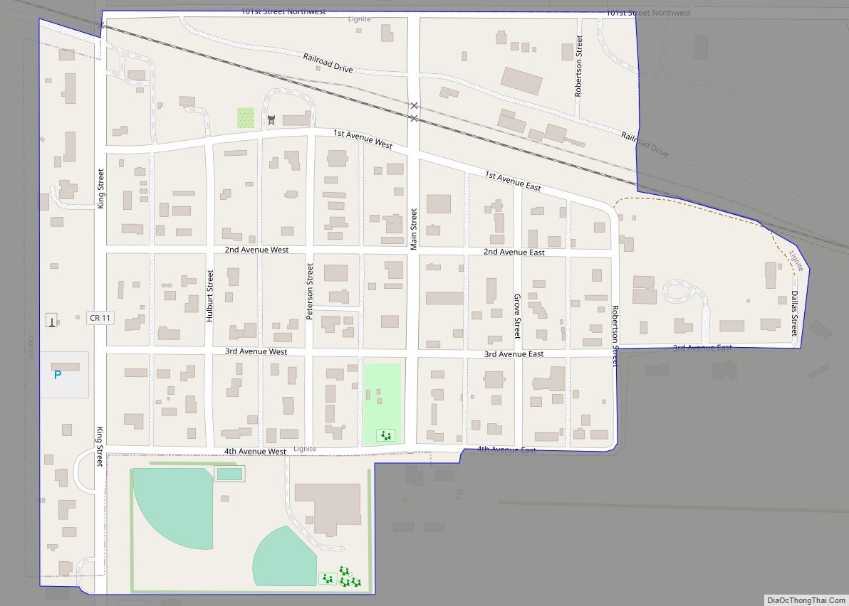
Lignite is a city in Burke County, North Dakota, United States. The population was 141 at the 2020 census. Lignite was founded in 1907 and was named for the quantities of lignite, a low-grade coal, present in the area. Lignite city overview: Name: Lignite city LSAD Code: 25 LSAD Description: city (suffix) State: North Dakota ... Read more
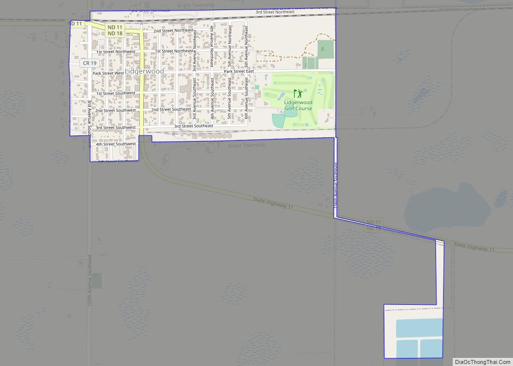
Lidgerwood is a city in Richland County, North Dakota, United States. The population was 600 at the 2020 census. Lidgerwood was founded in 1886. It is part of the Wahpeton, ND–MN Micropolitan Statistical Area. Lidgerwood city overview: Name: Lidgerwood city LSAD Code: 25 LSAD Description: city (suffix) State: North Dakota County: Richland County Founded: 1886 ... Read more
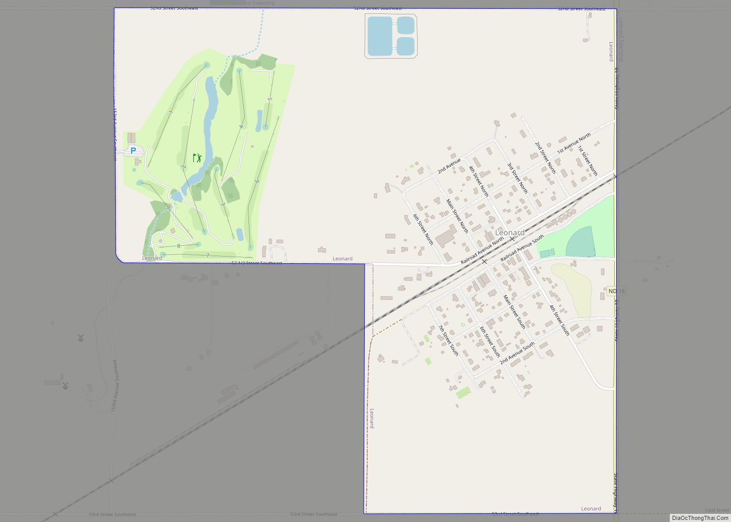
Leonard is a city in Cass County, North Dakota, United States. The population was 248 at the 2020 census. Leonard was founded in 1881. Leonard city overview: Name: Leonard city LSAD Code: 25 LSAD Description: city (suffix) State: North Dakota County: Cass County Elevation: 1,053 ft (321 m) Total Area: 0.75 sq mi (1.94 km²) Land Area: 0.75 sq mi (1.94 km²) Water ... Read more
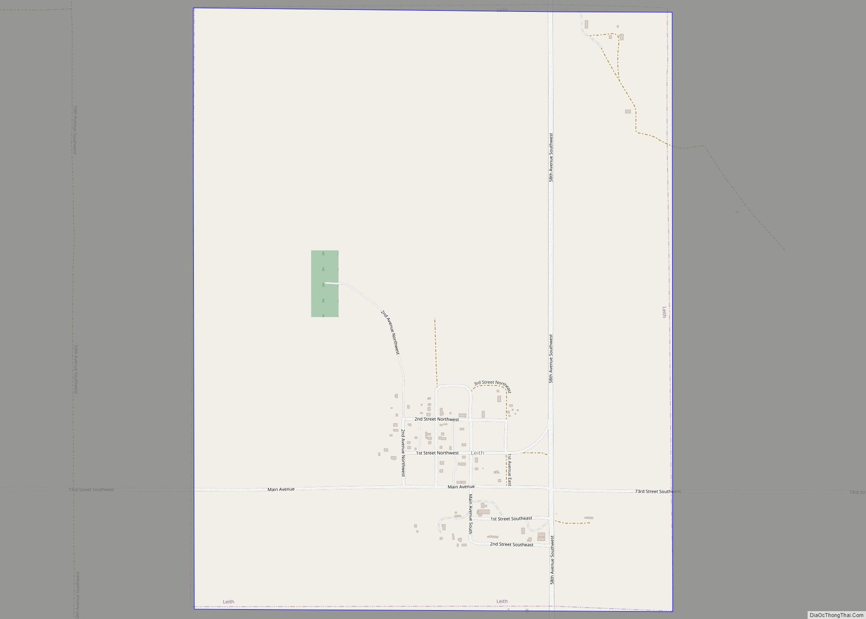
Leith (/ˈliːθ/ LEETH) is a city in Grant County, North Dakota, United States. The population was 28 at the 2020 census. Leith city overview: Name: Leith city LSAD Code: 25 LSAD Description: city (suffix) State: North Dakota County: Grant County Founded: 1910 Elevation: 2,343 ft (714 m) Total Area: 1.25 sq mi (3.24 km²) Land Area: 1.24 sq mi (3.20 km²) Water Area: ... Read more
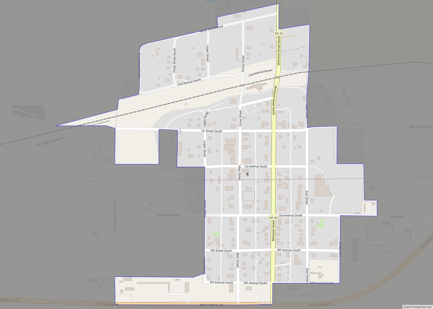
Lehr is a city in Logan and McIntosh counties in the State of North Dakota. The population was 81 at the 2020 census. Lehr was founded in 1898. Lehr city overview: Name: Lehr city LSAD Code: 25 LSAD Description: city (suffix) State: North Dakota County: Logan County, McIntosh County Founded: 1898 Elevation: 2,070 ft (631 m) Total ... Read more
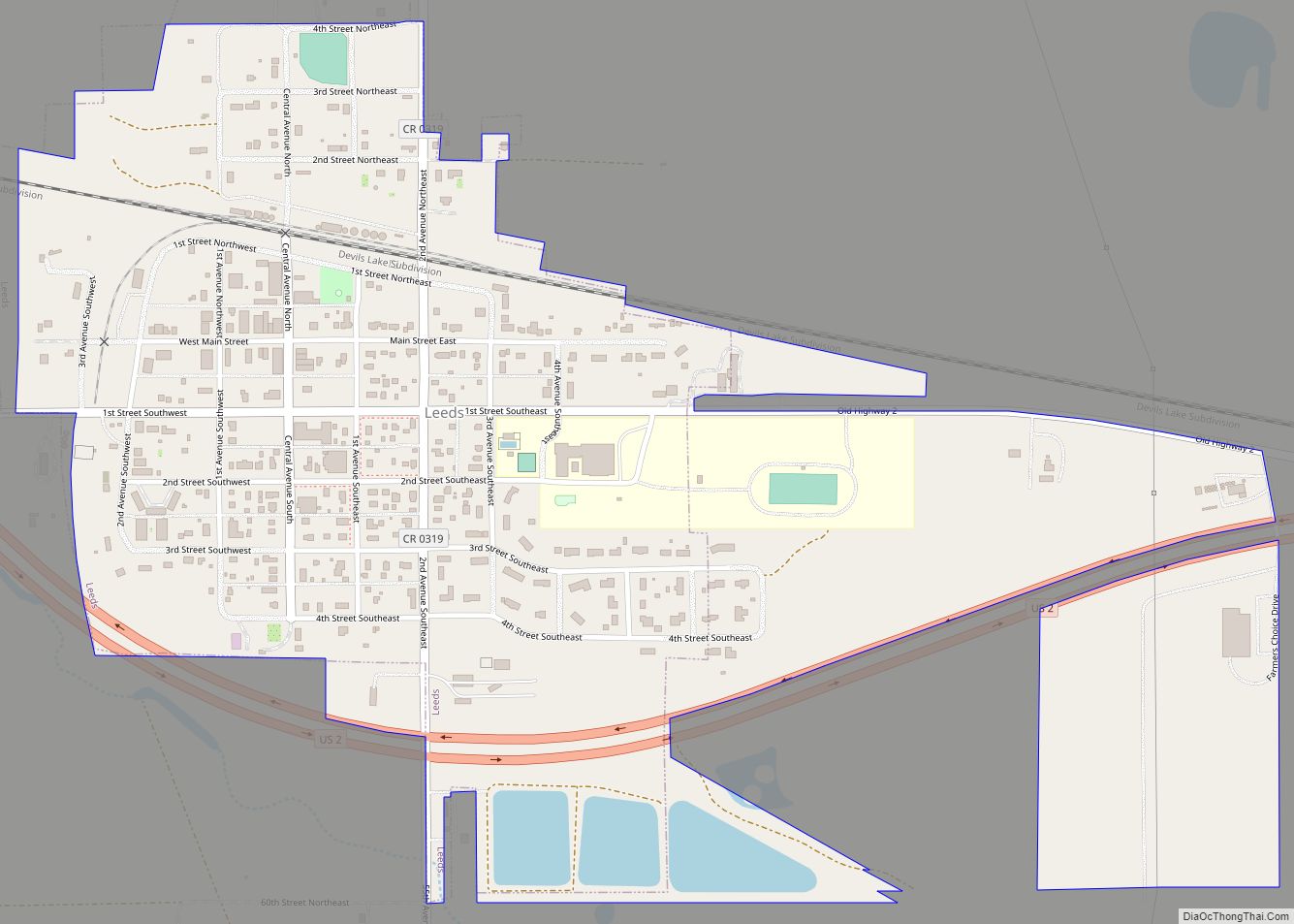
Leeds is a city in Benson County, North Dakota, United States. The population was 442 at the 2020 census. Leeds was founded in 1887 and named after Leeds, England. It was one of several sites along the Great Northern Railway’s transcontinental route between Devils Lake and Minot that were named after places in England (the ... Read more
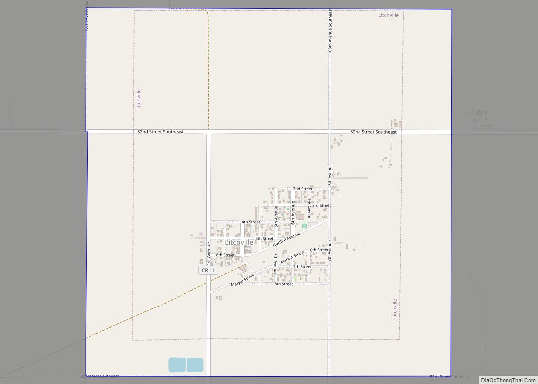
Litchville is a city in Barnes County, North Dakota, United States, known for their canoeing and kayaking opportunities. The population was 169 at the 2020 census. Litchville was founded in 1900. Litchville city overview: Name: Litchville city LSAD Code: 25 LSAD Description: city (suffix) State: North Dakota County: Barnes County Founded: 1900 Elevation: 1,470 ft (448 m) ... Read more
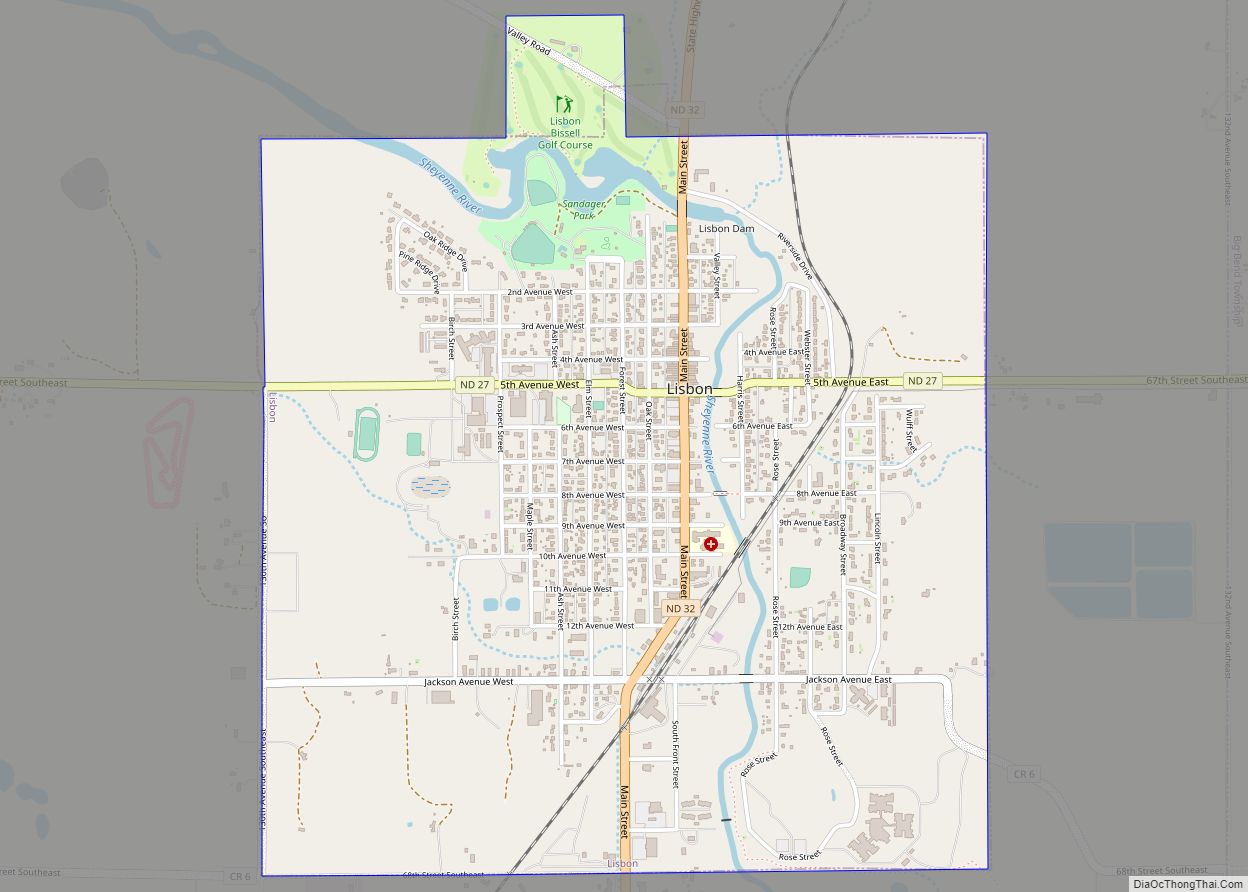
Lisbon is a city in and the county seat of Ransom County, North Dakota, United States. The population was 2,204 at the 2020 census. Lisbon city overview: Name: Lisbon city LSAD Code: 25 LSAD Description: city (suffix) State: North Dakota County: Ransom County Elevation: 1,083 ft (330 m) Total Area: 2.29 sq mi (5.94 km²) Land Area: 2.29 sq mi (5.94 km²) Water ... Read more
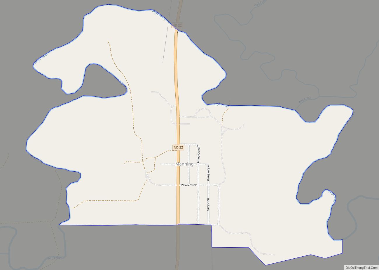
Manning is a small town in, and the county seat of, Dunn County, North Dakota, United States. Manning was founded in 1908 to serve as the seat of Dunn County, itself organized that year. Its population was not reported in the 2000 census, but was included in the 2020 census, where a population of 47 ... Read more
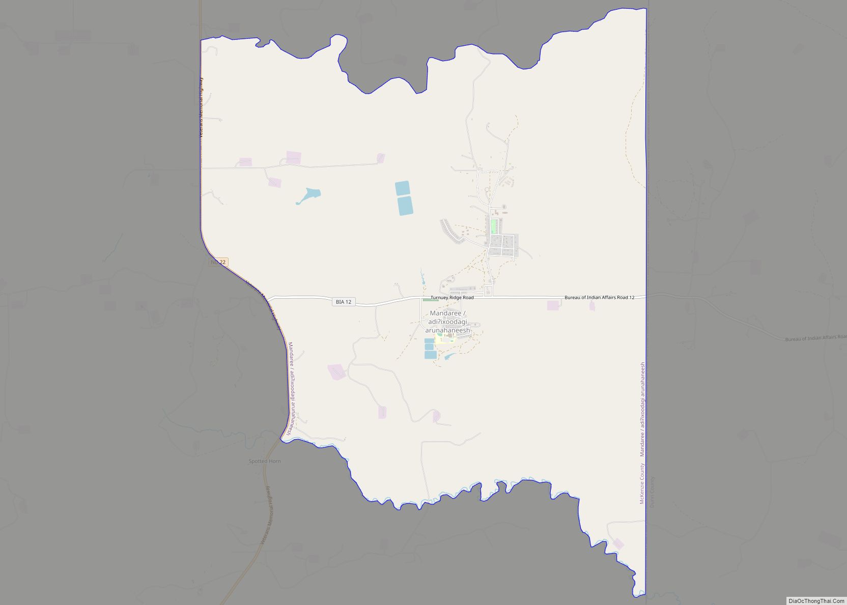
Mandaree (Hidatsa: Adixoodagoorahareesh) is a census-designated place (CDP) in McKenzie County, North Dakota, United States. The population was 596 at the 2010 census. Mandaree is located on the Fort Berthold Indian Reservation in the Mandan, Hidatsa and Arikara Nation. It was founded in 1954 as a home for those displaced by the rising backwaters of ... Read more
