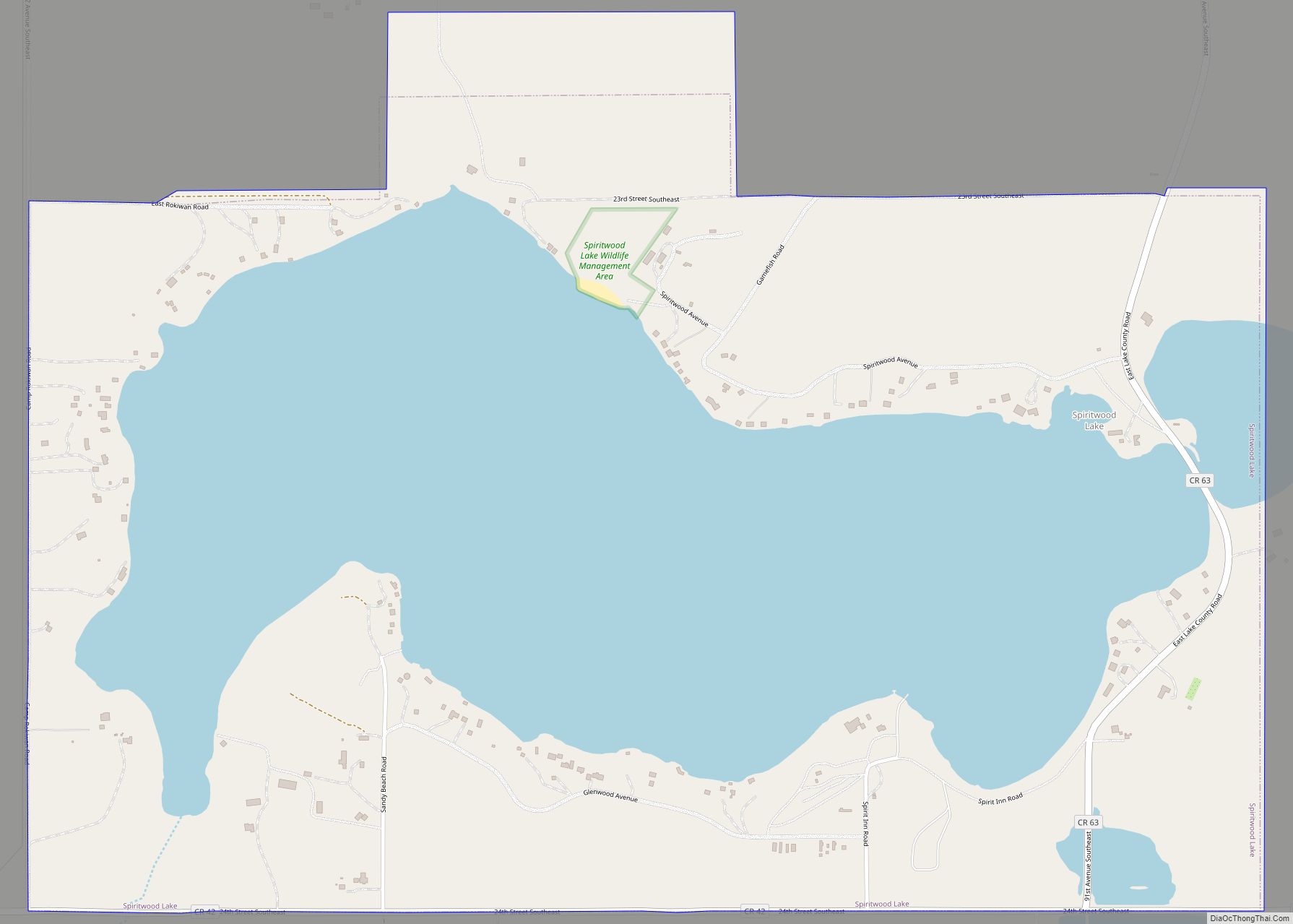
Spiritwood Lake is a city in Stutsman County, North Dakota, United States. The population was 97 at the 2020 census. Spiritwood Lake city overview: Name: Spiritwood Lake city LSAD Code: 25 LSAD Description: city (suffix) State: North Dakota County: Stutsman County Elevation: 1,450 ft (442 m) Total Area: 1.86 sq mi (4.83 km²) Land Area: 1.14 sq mi (2.96 km²) Water Area: 0.72 sq mi ... Read more
North Dakota Cities and Places
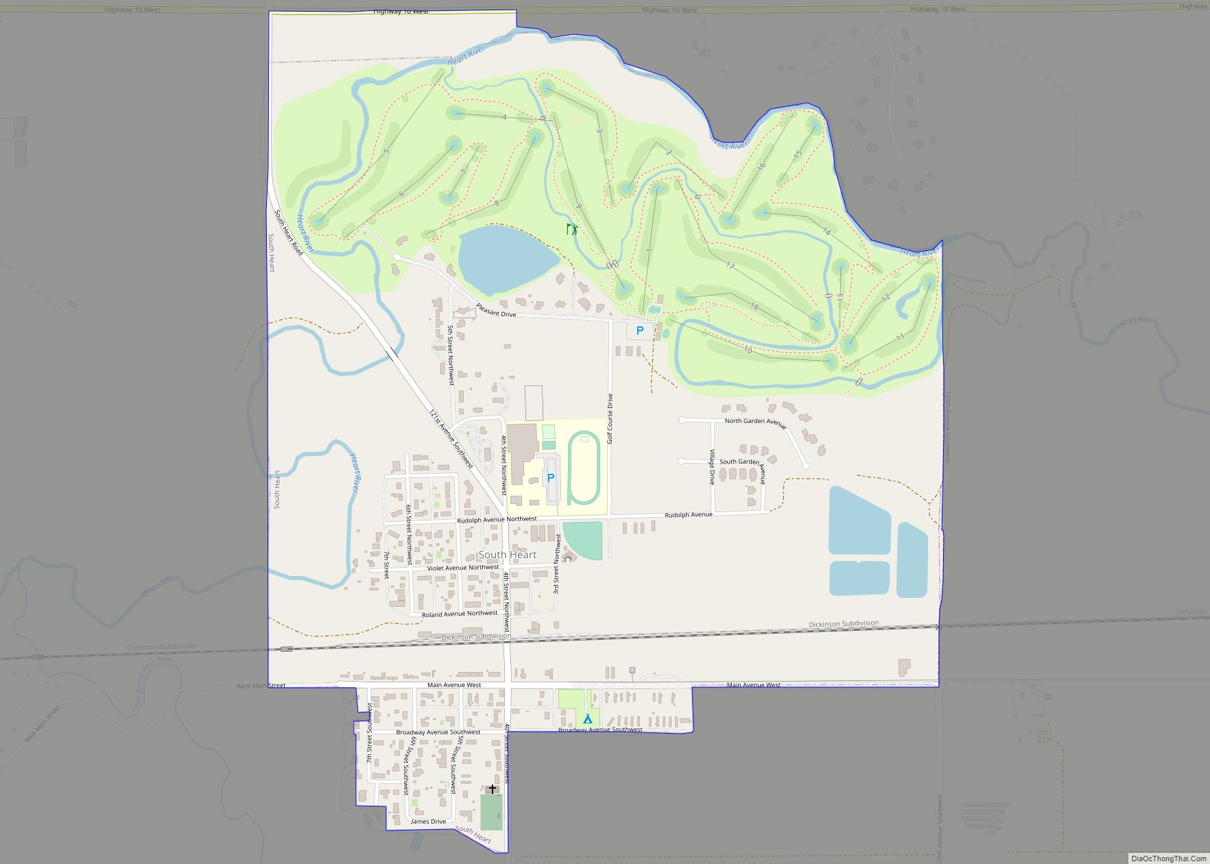
South Heart is a city in Stark County, North Dakota, United States. The population was 394 at the 2020 census. It is part of the Dickinson Micropolitan Statistical Area. South Heart was founded in 1908. South Heart city overview: Name: South Heart city LSAD Code: 25 LSAD Description: city (suffix) State: North Dakota County: Stark ... Read more
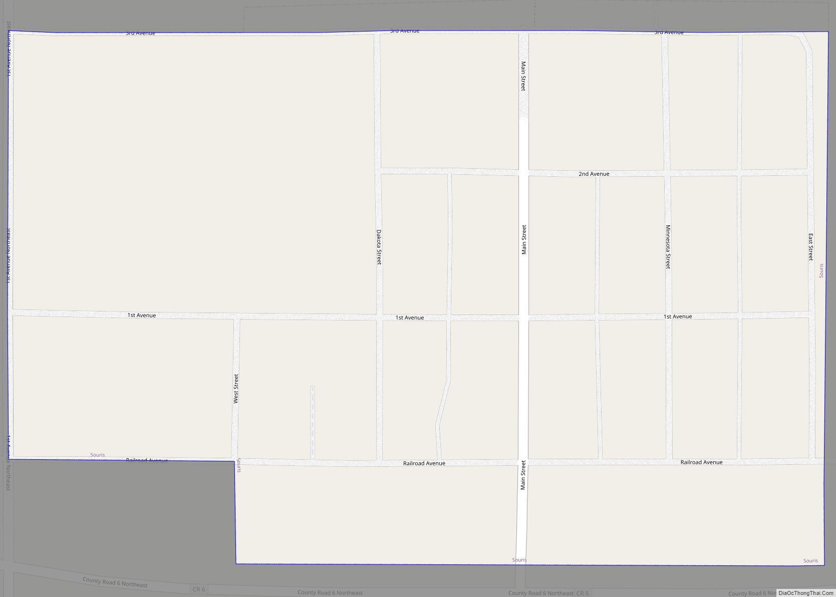
Souris is a city in Bottineau County, North Dakota, United States. The population was 37 at the 2020 census. Souris was founded in 1901. Souris city overview: Name: Souris city LSAD Code: 25 LSAD Description: city (suffix) State: North Dakota County: Bottineau County Founded: 1901 Elevation: 1,512 ft (461 m) Total Area: 0.10 sq mi (0.25 km²) Land Area: 0.10 sq mi ... Read more
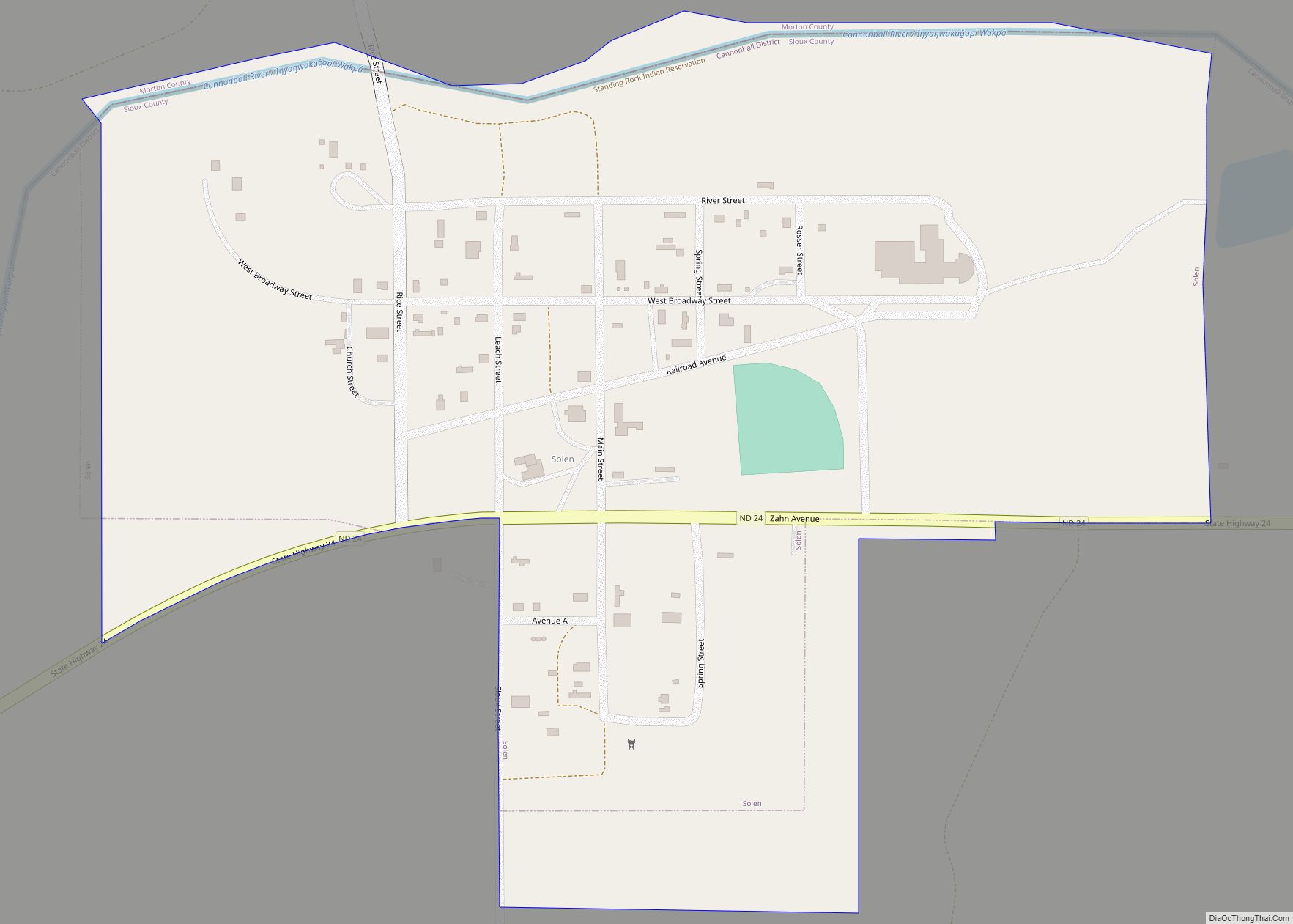
Solen is a city in Sioux County, North Dakota, United States and on the Standing Rock Indian Reservation. The population was 70 at the 2020 census. The town has a gas station and automotive repair shop called Hoffman’s Garage which has been family owned and operated since the early 1900s as well as a local ... Read more
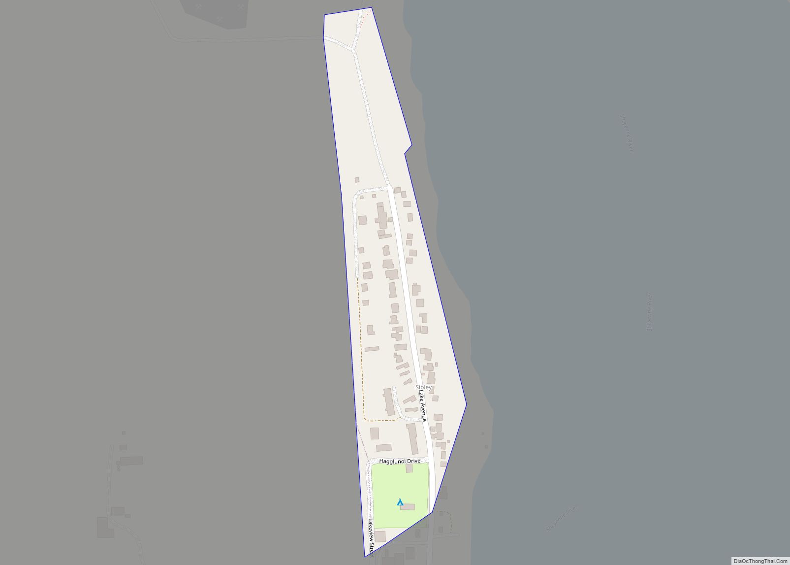
Sibley is a city in Barnes County, North Dakota, United States. The population was 19 at the 2020 census. Sibley was founded in 1959. Sibley city overview: Name: Sibley city LSAD Code: 25 LSAD Description: city (suffix) State: North Dakota County: Barnes County Founded: 1959 Elevation: 1,273 ft (388 m) Total Area: 0.04 sq mi (0.12 km²) Land Area: 0.04 sq mi ... Read more
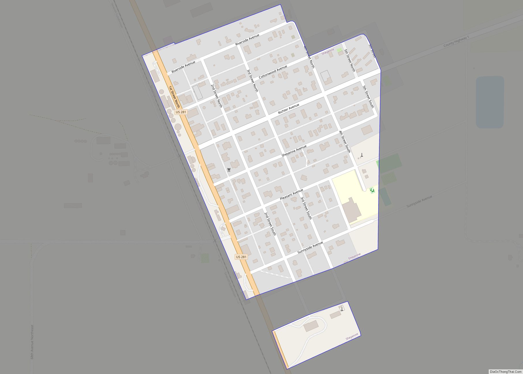
Sheyenne is a city in Eddy County, North Dakota, United States. The population was 186 at the 2020 census. Sheyenne was founded in 1883. Located in the city are a U.S. post office, a senior citizens’ center, and a fire department. A community center and the Log Cabin Museum are located on Main Street (U.S. ... Read more
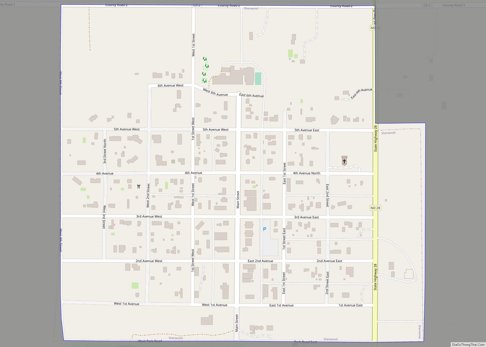
Sherwood is a city in Renville County, North Dakota, United States. The population was 194 as of the 2020 census. It is part of the Minot Micropolitan Statistical Area. It was founded in 1904 and named after Sherwood H. Sleeper, a Mohall banker who had owned land in the area. Sherwood’s weather station has one ... Read more
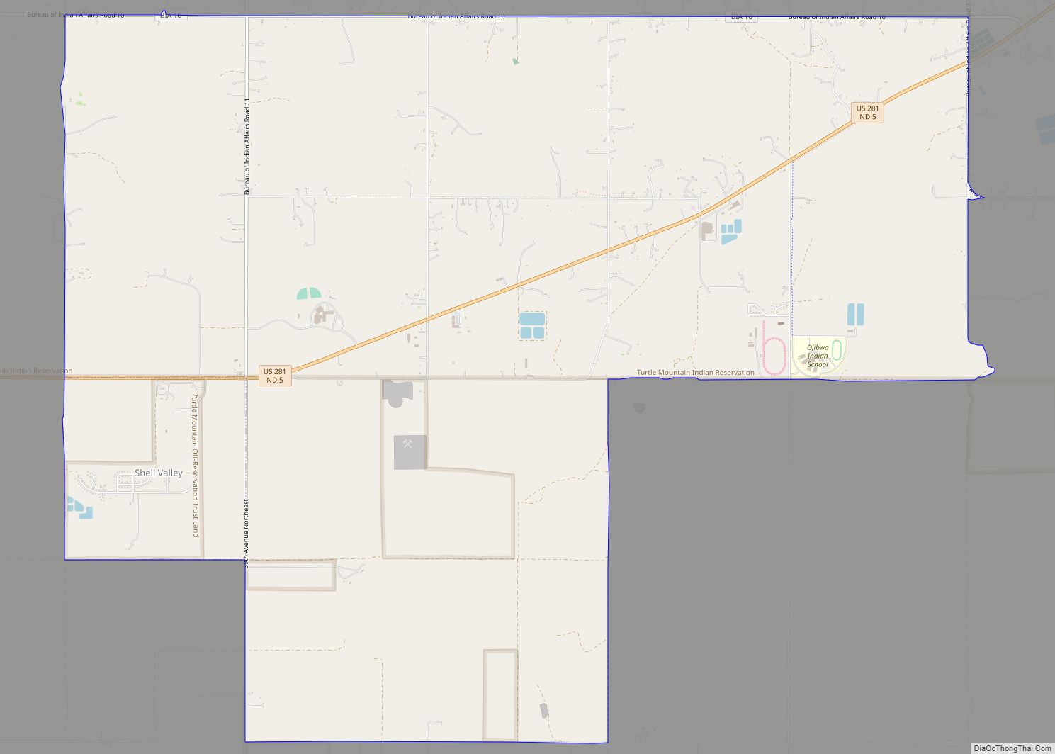
Shell Valley is a census-designated place (CDP) in Rolette County, North Dakota, United States. The population was 1,146 at the 2020 census. The community is partially located on lands of Turtle Mountain Chippewa Tribe. Shell Valley CDP overview: Name: Shell Valley CDP LSAD Code: 57 LSAD Description: CDP (suffix) State: North Dakota County: Rolette County ... Read more
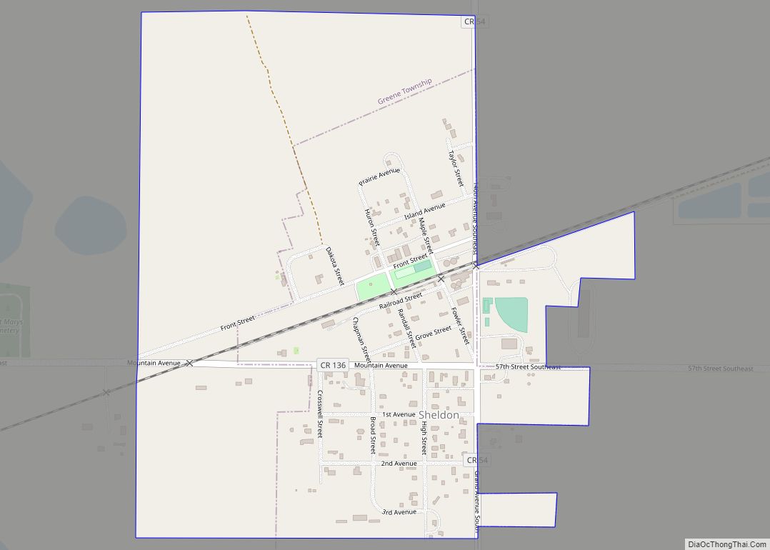
Sheldon is a city in Ransom County, North Dakota, United States. The population was 95 at the 2020 census. Sheldon was founded in 1882. Sheldon city overview: Name: Sheldon city LSAD Code: 25 LSAD Description: city (suffix) State: North Dakota County: Ransom County Elevation: 1,089 ft (332 m) Total Area: 0.41 sq mi (1.06 km²) Land Area: 0.41 sq mi (1.06 km²) Water ... Read more
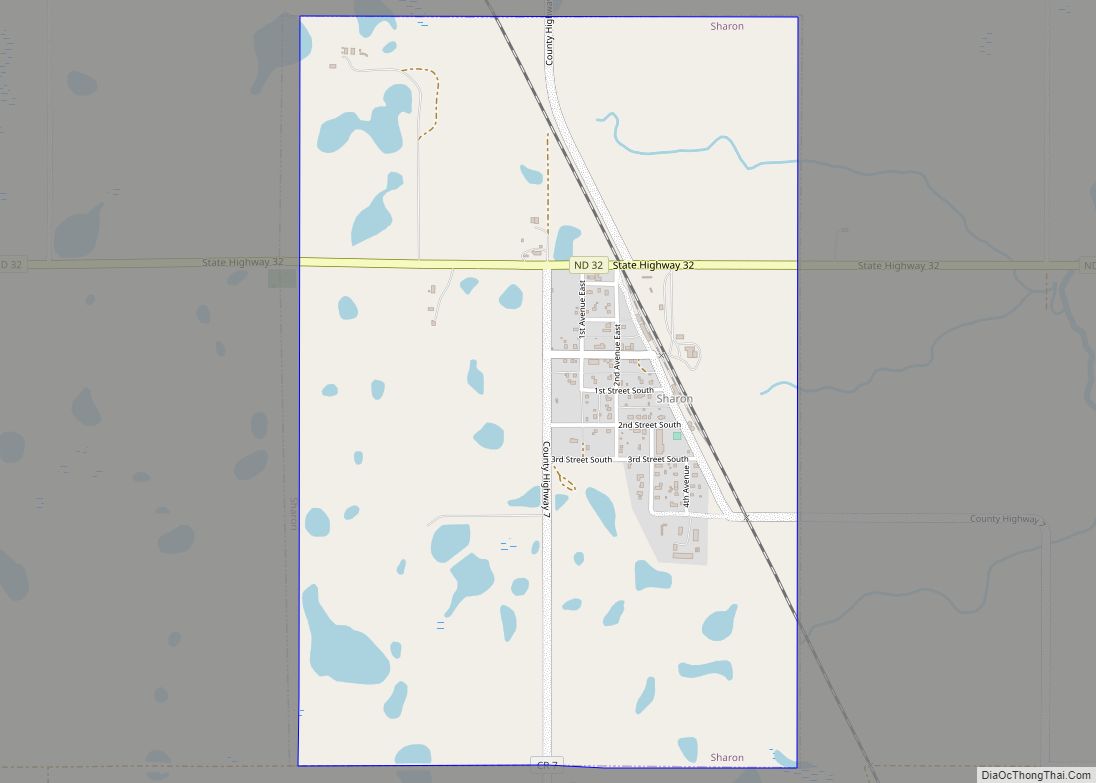
Sharon is a city in Steele County, North Dakota, United States. The population was 86 at the 2020 census. Sharon was founded in 1896. Sharon city overview: Name: Sharon city LSAD Code: 25 LSAD Description: city (suffix) State: North Dakota County: Steele County Founded: 1896 Elevation: 1,512 ft (461 m) Total Area: 1.50 sq mi (3.88 km²) Land Area: 1.49 sq mi ... Read more
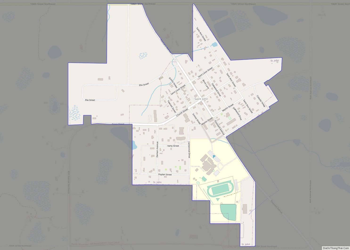
St. John is a city in Rolette County, North Dakota, United States. The population was 322 at the 2020 census. St. John city overview: Name: St. John city LSAD Code: 25 LSAD Description: city (suffix) State: North Dakota County: Rolette County Founded: 1882 Elevation: 1,949 ft (594 m) Total Area: 0.44 sq mi (1.14 km²) Land Area: 0.44 sq mi (1.14 km²) Water ... Read more
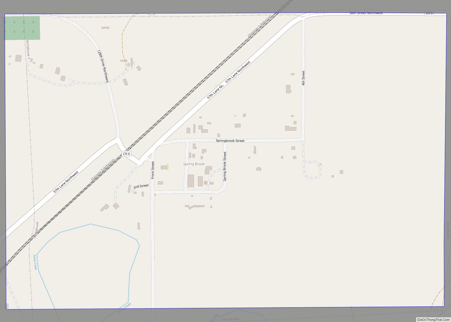
Springbrook is a city in Williams County, North Dakota, United States. The population was 37 at the 2020 census. It is also spelled Spring Brook. Springbrook city overview: Name: Springbrook city LSAD Code: 25 LSAD Description: city (suffix) State: North Dakota County: Williams County Elevation: 2,070 ft (631 m) Total Area: 0.37 sq mi (0.97 km²) Land Area: 0.37 sq mi (0.97 km²) ... Read more
