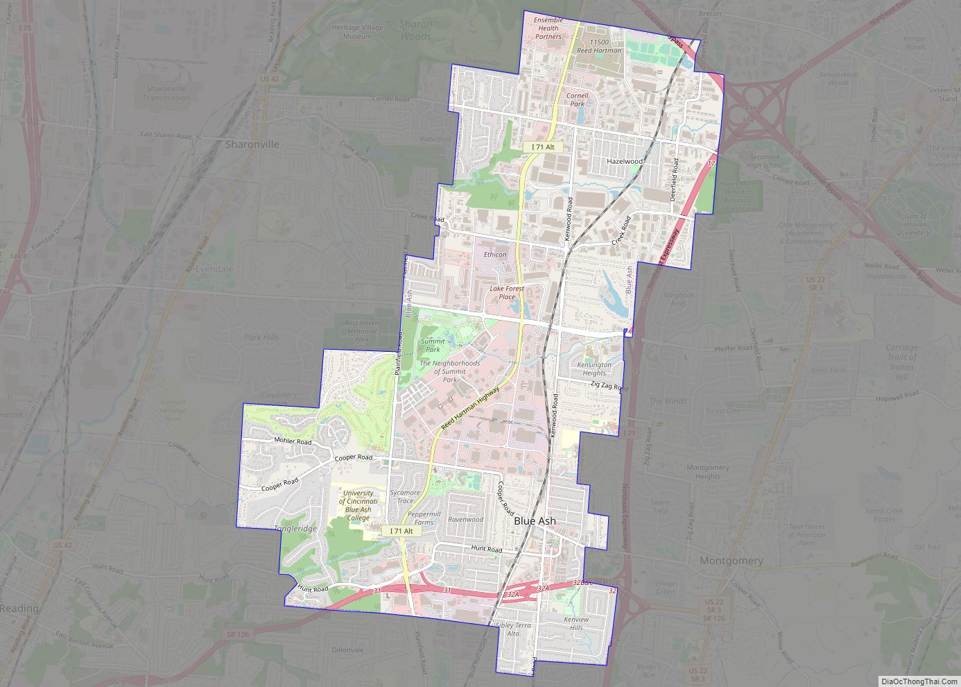
Blue Ash is a city in Hamilton County, Ohio. An inner suburb of Cincinnati, the population was 13,394 at the time of the 2020 census. Blue Ash city overview: Name: Blue Ash city LSAD Code: 25 LSAD Description: city (suffix) State: Ohio County: Hamilton County Elevation: 846 ft (258 m) Total Area: 7.60 sq mi (19.69 km²) Land Area: 7.58 sq mi ... Read more
Ohio Cities and Places
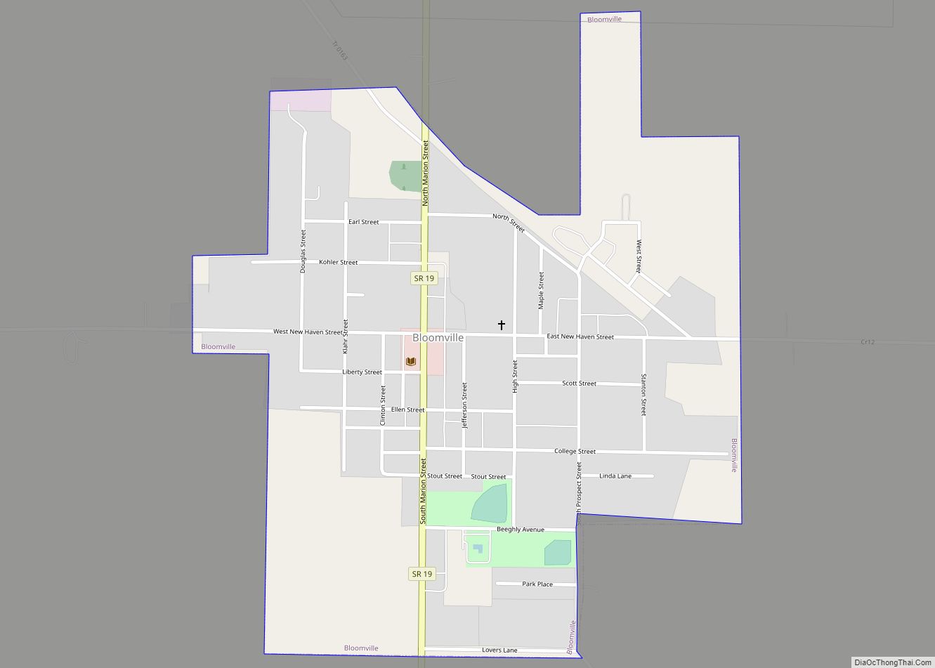
Bloomville is a village in Seneca County, Ohio, United States. The population was 956 at the 2010 census. Bloomville village overview: Name: Bloomville village LSAD Code: 47 LSAD Description: village (suffix) State: Ohio County: Seneca County Elevation: 932 ft (284 m) Total Area: 0.60 sq mi (1.56 km²) Land Area: 0.60 sq mi (1.56 km²) Water Area: 0.00 sq mi (0.00 km²) Total Population: 867 Population ... Read more
Bloomingdale is a village in central Jefferson County, Ohio, United States. The population was 145 at the 2020 census. It is part of the Weirton–Steubenville metropolitan area. Bloomingdale is the site of a Camaldolese monastic community at Holy Family Hermitage, part of the Congregation of Monte Corona. Bloomingdale village overview: Name: Bloomingdale village LSAD Code: ... Read more
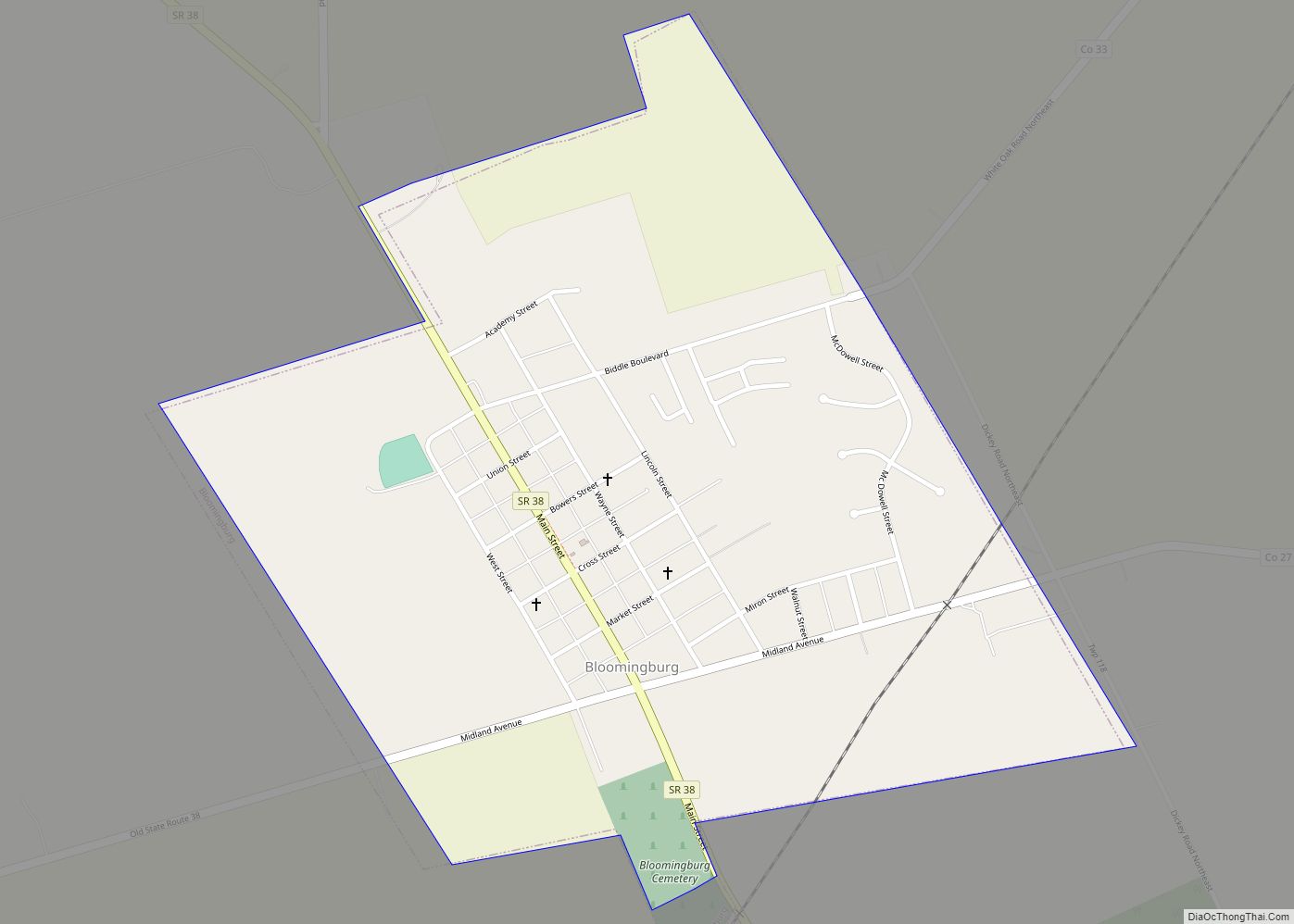
Bloomingburg is a village in Fayette County, Ohio, United States. The population was 938 at the 2010 census. Bloomingburg village overview: Name: Bloomingburg village LSAD Code: 47 LSAD Description: village (suffix) State: Ohio County: Fayette County Elevation: 994 ft (303 m) Total Area: 0.69 sq mi (1.78 km²) Land Area: 0.69 sq mi (1.78 km²) Water Area: 0.00 sq mi (0.00 km²) Total Population: 878 Population ... Read more
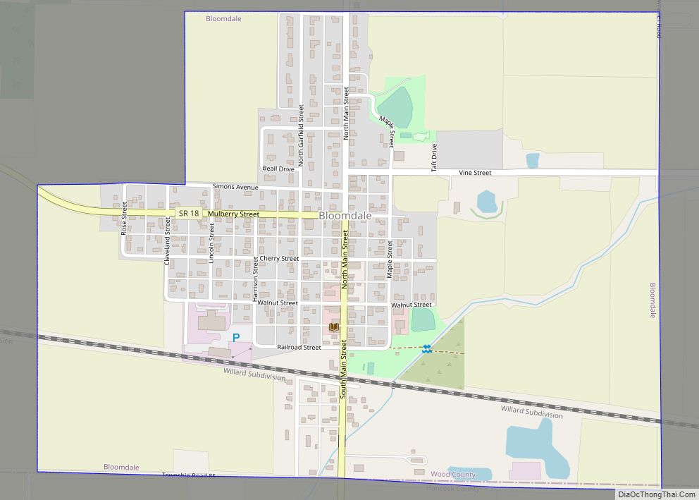
Bloomdale is a village in Wood County, Ohio, United States. The population was 678 at the 2010 census. Bloomdale village overview: Name: Bloomdale village LSAD Code: 47 LSAD Description: village (suffix) State: Ohio County: Wood County Elevation: 748 ft (228 m) Total Area: 0.67 sq mi (1.73 km²) Land Area: 0.67 sq mi (1.72 km²) Water Area: 0.00 sq mi (0.01 km²) Total Population: 665 Population ... Read more
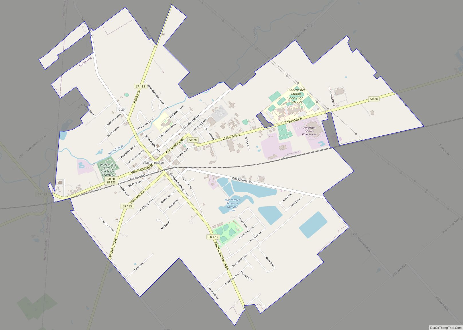
Blanchester is a village in Clinton and Warren counties in the U.S. state of Ohio. The population was 4,224 at the 2020 census. Blanchester is part of the Wilmington, Ohio Micropolitan Statistical Area, which is also included in the Cincinnati-Wilmington-Maysville, OH-KY–IN Combined Statistical Area. Blanchester village overview: Name: Blanchester village LSAD Code: 47 LSAD Description: ... Read more
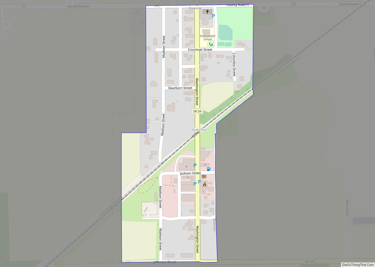
Blakeslee is a village in Williams County, Ohio, United States. The population was 104 at the 2020 census. The town motto is, “A Half Mile Of Smile”. Popular restaurant, Sam’s Place, celebrated its 100 yr. anniversary in 2022. Blakeslee village overview: Name: Blakeslee village LSAD Code: 47 LSAD Description: village (suffix) State: Ohio County: Williams ... Read more
Bolivar (/ˈbɒlɪvər/, rhymes with Oliver) is a village in Tuscarawas County, Ohio, United States. The population was 994 at the 2010 census. Bolivar is also home to Fort Laurens, the only American Revolutionary War-era fort in what is now Ohio. Bolivar village overview: Name: Bolivar village LSAD Code: 47 LSAD Description: village (suffix) State: Ohio ... Read more
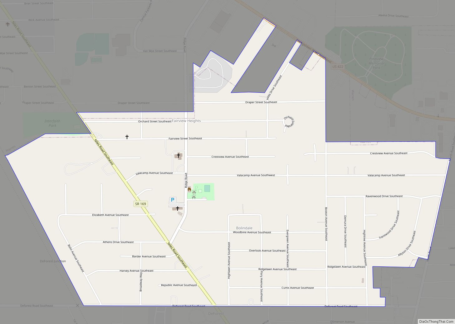
Bolindale is an unincorporated community and census-designated place in southern Howland Township, Trumbull County, Ohio, United States. The population was 1,921 at the 2020 census. It is part of the Youngstown–Warren metropolitan area. Bolindale CDP overview: Name: Bolindale CDP LSAD Code: 57 LSAD Description: CDP (suffix) State: Ohio County: Trumbull County Elevation: 951 ft (290 m) Total ... Read more
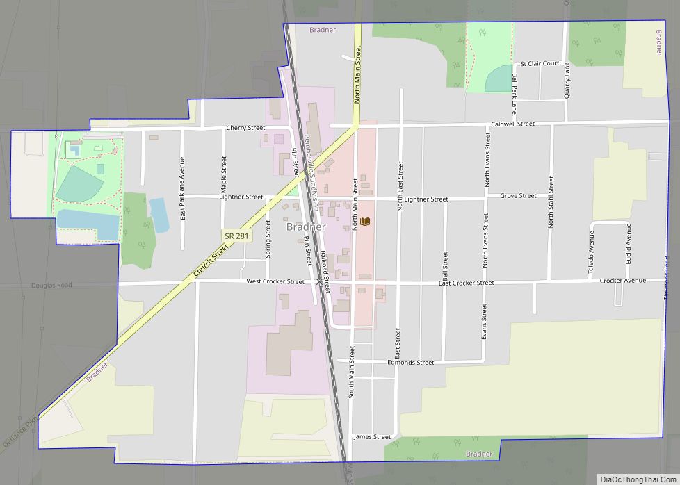
Bradner is a village in Wood County, Ohio, United States. The population was 985 at the 2010 census. Bradner village overview: Name: Bradner village LSAD Code: 47 LSAD Description: village (suffix) State: Ohio County: Wood County Elevation: 696 ft (212 m) Total Area: 0.62 sq mi (1.60 km²) Land Area: 0.62 sq mi (1.60 km²) Water Area: 0.00 sq mi (0.01 km²) Total Population: 971 Population ... Read more
Bradford is a village in Darke and Miami counties in the U.S. state of Ohio. The population was 1,842 at the 2010 census. The Miami County portion of Bradford is part of the Dayton Metropolitan Statistical Area, while the Darke County portion is part of the Greenville Micropolitan Statistical Area. Bradford village overview: Name: Bradford ... Read more
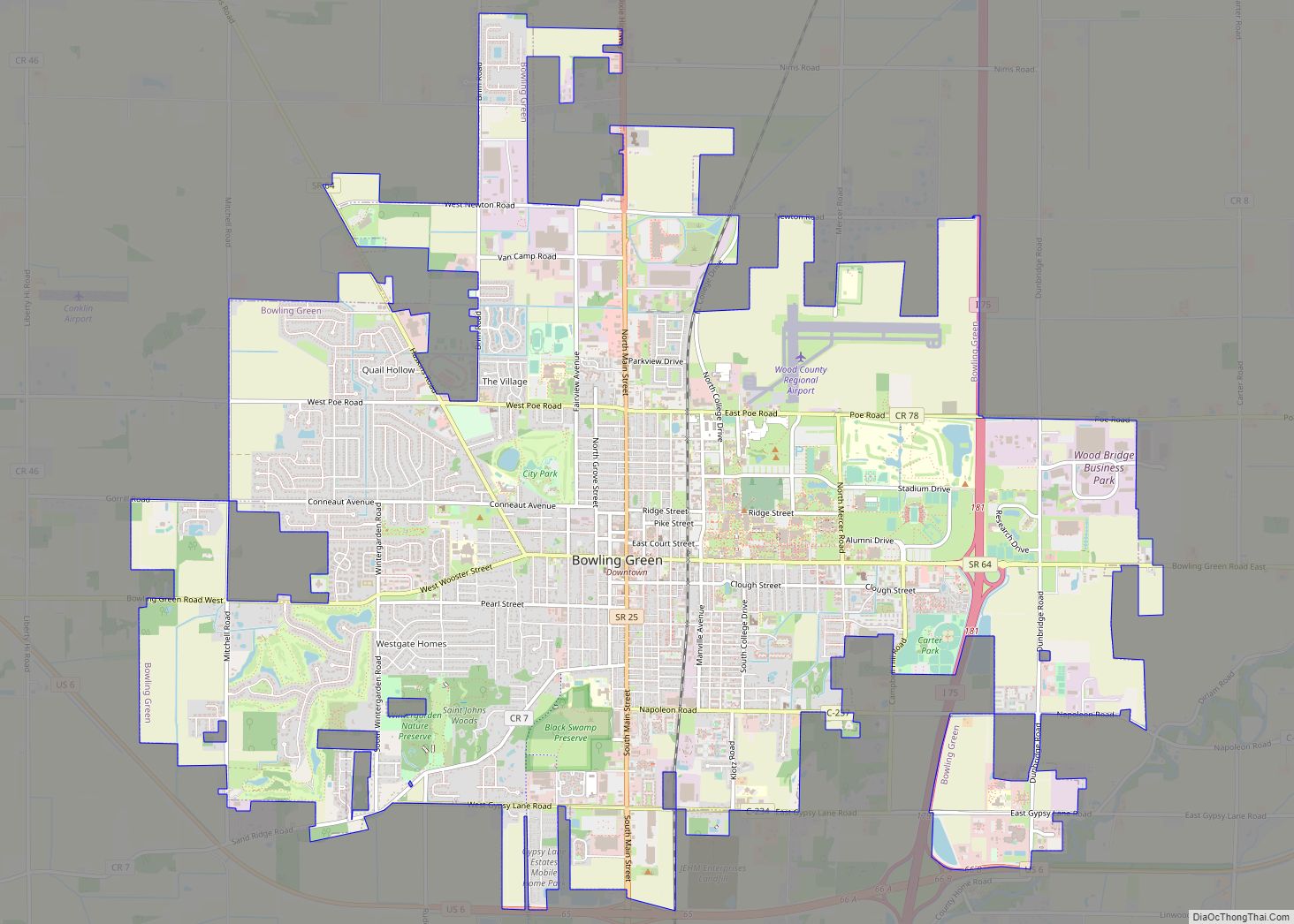
Bowling Green is a city in and the county seat of Wood County, Ohio, United States, located 20 miles (32 km) southwest of Toledo. The population was 30,808 at the 2020 census. It is part of the Toledo Metropolitan Area and a member of the Toledo Metropolitan Area Council of Governments. Bowling Green is the home ... Read more
