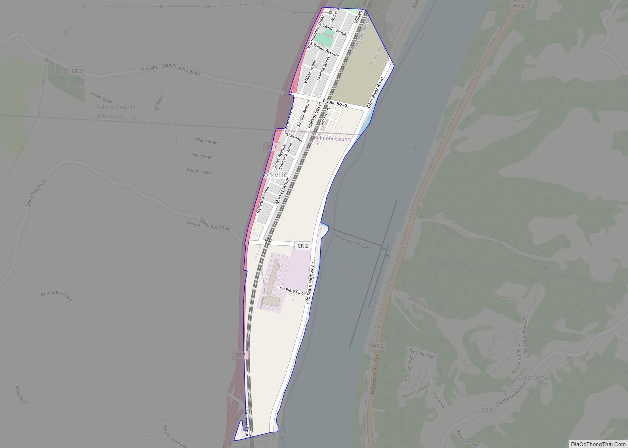
Map of Yellow Springs village
Yellow Springs is a village in Greene County, Ohio, United States. The population was 3,697 at the 2020 census. It is part of the Dayton Metropolitan Statistical Area. It is home to Antioch College. Yellow Springs village overview: Name: Yellow Springs village LSAD Code: 47 LSAD Description: village (suffix) State: Ohio County: Greene County Total ... Read more
Map of Yellow Springs village
Map of Yankee Lake village
Yankee Lake is a village in eastern Trumbull County, Ohio, United States, located along Yankee Run. The population was 75 at the 2020 census. It is part of the Youngstown–Warren metropolitan area. The community is served by the Brookfield, Ohio post office. Yankee Lake village overview: Name: Yankee Lake village LSAD Code: 47 LSAD Description: ... Read more
Map of Yankee Lake village
Map of Zoar village, Ohio
Zoar is a village in Tuscarawas County, Ohio, United States. The population was 169 at the 2010 census. The community was founded in 1817 by Radical Pietists as a utopian Christian community, which survived until 1898. Much of the village’s early layout survives, as do many buildings from its utopian origins. Most of the community ... Read more
Map of Zoar village, Ohio
Map of Zanesville city, Ohio
Zanesville is a city in and the county seat of Muskingum County, Ohio, United States. Located at the confluence of the Licking and Muskingum rivers, the city is approximately 52 miles (84 km) east of Columbus and had a population of 24,765 as of the 2020 census, down from 25,487 as of the 2010 census. Historically ... Read more
Map of Zanesville city, Ohio