Youngstown is the largest city in and county seat of Mahoning County, Ohio, United States. At the 2020 census, it had a population of 60,068, making it the 11th-largest city in Ohio. It is a principal city of the Youngstown–Warren metropolitan area, which had a population of 541,243 in 2020, making it the seventh-largest metro area in Ohio and 107th-largest metro area in the United States. Youngstown is situated on the Mahoning River, 58 miles (93 km) southeast of Cleveland and 61 miles (100 km) northwest of Pittsburgh. In addition to having its own media market, the city is part of the larger Northeast Ohio region. Youngstown is midway between Chicago and New York City via Interstate 80.
The city was named for John Young, an early settler from Whitestown, New York, who established the community’s first sawmill and gristmill. Youngstown is a midwestern city, although it lies less than 400 miles (640 km) from the Atlantic Ocean, falling within the Appalachian Ohio region among the foothills of the Appalachian Mountains. It was an early industrial city of the late 19th and early 20th centuries; with restructuring of heavy industry and movement of jobs offshore, it has been classified as part of the Rust Belt. Traditionally known as a center of steel production, Youngstown has been forced to adapt after the steel industry in the United States fell into decline in the 1970s, leaving communities throughout the region without any major industry. There has been a decline in population of more than 60% since 1959.
Downtown Youngstown has seen tremendous change since 2010. It has become a center of culture, entertainment, and innovation. It is now home to bars, restaurants, and the recently completed Youngstown Foundation Amphitheater. Youngstown’s first new downtown hotel since 1974—the DoubleTree by Hilton—opened in 2018 in the historic Stambaugh Building, adapted for this use. First floor commercial space includes a restaurant. Several businesses, such as Turning Technologies, an education technology company, are headquartered in Downtown Youngstown.
| Name: | Youngstown city |
|---|---|
| LSAD Code: | 25 |
| LSAD Description: | city (suffix) |
| State: | Ohio |
| County: | Mahoning County, Trumbull County |
| Founded: | 1796 |
| Incorporated: | 1848 (village) |
| Land Area: | 33.93 sq mi (87.87 km²) |
| Water Area: | 0.64 sq mi (1.64 km²) |
| Population Density: | 1,770.40/sq mi (683.56/km²) |
| ZIP code: | 15 total ZIP Codes: 44501–44507, 44509–44515, 44555 |
| Area code: | 330 and 234 |
| FIPS code: | 3988000 |
| GNISfeature ID: | 1058156 |
| Website: | youngstownohio.gov |
Online Interactive Map
Click on ![]() to view map in "full screen" mode.
to view map in "full screen" mode.
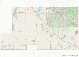
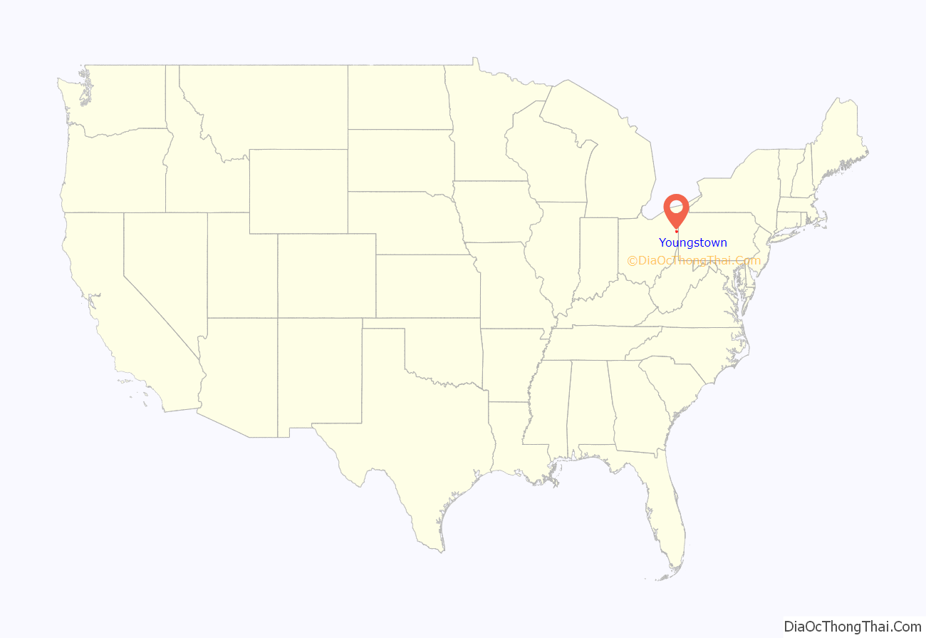
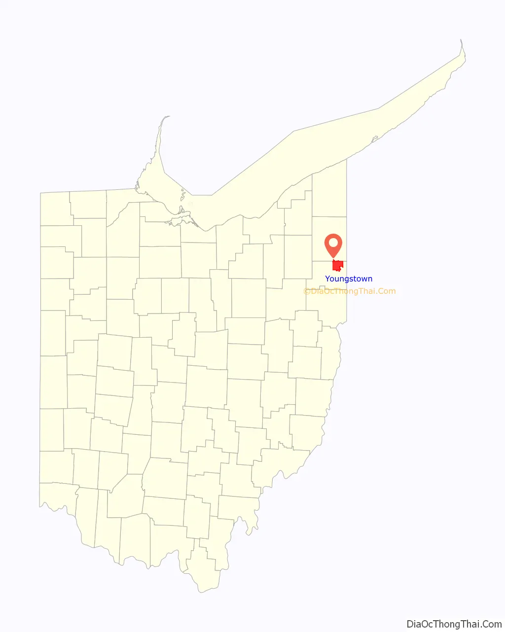
Youngstown location map. Where is Youngstown city?
History
Founding
Youngstown was named for New York native John Young, who surveyed the area in 1796 and settled there soon afterward. On February 9, 1797, Young purchased the township of 15,560 acres (6,300 ha) from the Western Reserve Land Company for $16,085. The 1797 establishment of Youngstown was officially recorded on August 19, 1802.
The area that includes present-day Youngstown was part of the Connecticut Western Reserve, a section of the Northwest Territory that Connecticut initially did not cede to the federal government. Upon cession, Connecticut retained the title to the land in the Western Reserve, which it sold to the Connecticut Land Company for $1,200,000. While many of the area’s early settlers came from Connecticut, Youngstown attracted many Scots-Irish settlers from neighboring Pennsylvania. The first European Americans to settle permanently in the area were Pittsburgh native James Hillman and wife Catherine Dougherty. By 1798, Youngstown was the home of several families who were concentrated near where Mill Creek meets the Mahoning River. Boardman Township was founded in 1798 by Elijah Boardman, a member of the Connecticut Land Company. Also founded in 1798 was Austintown by John McCollum who was a settler from New Jersey.
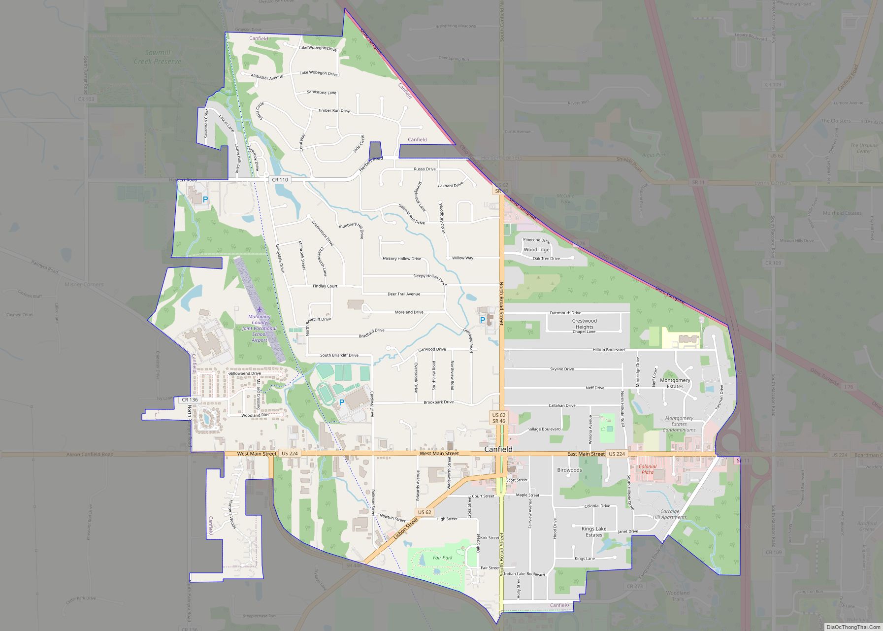
As the Western Reserve’s population grew, the need for administrative districts became apparent. In 1800, territorial governor Arthur St. Clair established Trumbull County (named in honor of Connecticut Governor Jonathan Trumbull), and designated the smaller settlement of Warren as its administrative center, or county seat. In 1813, Trumbull County was divided into townships, with Youngstown Township comprising much of what became Mahoning County. The village of Youngstown was incorporated in 1848, and in 1867 Youngstown was chartered as a city. It became the county seat in 1876, when the administrative center of Mahoning County was moved from neighboring Canfield. Youngstown has been Mahoning County’s county seat to this day.
Growth and industrialization
The discovery of coal by the community in the early 19th century paved the way for the Youngstown area’s inclusion on the network of the famed Erie Canal. The Pennsylvania and Ohio Canal Company was organized in 1835, and the canal was completed in 1840. Local industrialist David Tod, who became Ohio governor during the Civil War, persuaded Lake Erie steamboat owners that coal mined in the Mahoning Valley could fuel their vessels if canal transportation were available between Youngstown and Cleveland. The railroad’s arrival in 1856 smoothed the path for further economic growth.
Youngstown’s industrial development changed the face of the Mahoning Valley. The community’s burgeoning coal industry drew hundreds of immigrants from Wales, Germany, and Ireland. With the establishment of steel mills in the late 19th century, Youngstown became a popular destination for immigrants from Eastern Europe, Italy, and Greece.
In the early 20th century, the community saw an influx of immigrants from non-European countries including what is modern day Lebanon, Israel, Palestine, and Syria. By the 1920s, this dramatic demographic shift produced a nativist backlash, and the Mahoning Valley became a center of Ku Klux Klan activity. The situation reached a climax in 1924, when street clashes between Klan members and Italian and Irish Americans in neighboring Niles led Ohio Governor A. Victor Donahey to declare martial law. By 1928 the Klan was in steep decline; and three years later, the organization sold its Canfield, Ohio, meeting area, Kountry Klub Field. Despite the prevalence of Irish Americans in Youngstown, their presence wasn’t always evident. When radio personality Pete Gabriel (who was Greek), came to Youngstown, he found out at the time that there was no St Patrick’s Day parade there, so he started one.
The growth of industry attracted people from within the United States and from Latin America. By the late 19th century, African Americans were well represented in Youngstown, and the first local congregation of the African Methodist Episcopal Church was established in 1871. In the 1880s, local attorney William R. Stewart was the second African American elected to the Ohio House of Representatives. A large influx of African Americans in the early 20th century owed much to developments in the industrial sector. During the national Steel Strike of 1919, local industrialists recruited thousands of workers from the Southern United States, many of whom were Black. This move inflamed racist sentiment among local Whites, and for decades, African-American steelworkers experienced discrimination in the workplace. Migration from the South rose dramatically in the 1940s, when the mechanization of southern agriculture brought an end to the sharecropping system, leading onetime farm laborers to seek industrial jobs.
Youngstown’s local iron ore deposits were exhausted by the early 20th century. Since the city is landlocked (the Mahoning River is not navigable), ore from Michigan and Minnesota had to arrive by rail from Cleveland and other Great Lakes port cities where large bulk carriers were unloaded. This put Youngstown at a competitive disadvantage to the iron and steel producers in Cleveland, Buffalo, Chicago and Detroit—all on Great Lake shores. Compared to these four cities, Youngstown had a higher cost of transporting raw materials to the mills, according to a Harvard Business Review report published in January 1933. Higher transportation costs are one reason why Youngstown mills began their decline slightly earlier than manufacturing in other cities.
The city had a healthy position within the Midwest in terms of transportation connections. An airport built in 1930 hosted Capital and United Airlines flights through the region and to New York prior to the jet age of the latter 1950s. It was on the Baltimore and Ohio Railroad mainline to Chicago with the Capital Limited. Likewise, Youngstown was on the Erie Railroad mainline, on its Chicago-Jersey City circuit, with trains such as the Atlantic Express/Pacific Express and the Lake Cities. The city was on the New York Central’s Pittsburgh-Buffalo circuit and the Pennsylvania Railroad’s Pittsburgh-Cleveland circuit.
Post-World War II decline
The city’s population became more diverse after the end of World War II, when a seemingly robust steel industry attracted thousands of workers. In the 1950s, the Latino population grew significantly; and by the 1970s, St. Rose of Lima Roman Catholic Church and the First Spanish Baptist Church of Ohio were among the largest religious institutions for Spanish-speaking residents in the Youngstown metropolitan area. In 1951, city planners projected that Youngstown would grow to 200,000 to 250,000 in population due to continuously strong demand for domestic steel in western Europe, Japan, and South Korea, and so 12,000 acres on the city’s East Side were annexed and extended utilities in expectation of future housing projects, in addition to aggressive re-zoning for expanded commercial spaces throughout the city.
At 11:30 on Wednesday, September 6, 1967, only 9 of the 50 scheduled patrolmen arrived for work at the Youngstown Police Department. The others were not on strike. That was prevented by Ohio state law. The patrolmen, eventually numbering 300, along with another 300 city-employed firefighters, were instead attending “continuous professional meetings”, and would be until their demand for an immediate across-the-board raise of $1200 was met. By Saturday, the day they were ordered back to their jobs by a Common Pleas Court judge, citizens were reported as disturbed, rather than badly frightened, by the risks of police and fire services operating at about 30% normal headcounts. A car fire was the worst single incident. When ending the strike the judge also ordered the pay raise. Apart from a fruitless six-day “sick call” of police in Detroit in June 1967, Youngstown’s was the first major police strike since the Boston Police Strike in 1919. As the editorial writers at The Sheboygan Press of Sheboygan, Wisconsin put it, “So we have seen the first successful strike by policemen and firemen. It is a precedent over which there should be little rejoicing.”
The industrial economy that drew various groups to the area collapsed in the late 1970s, culminating with the September 19, 1977 closure of the Youngstown Sheet and Tube Campbell Works after financial downturn due to changes in the steel manufacturing process and international competition. In response to subsequent challenges, the city has taken well-publicized steps to diversify economically, while building on some traditional strengths.
Modern developments
Downtown Youngstown has seen modest levels of new construction. In the 2000s, additions included the Nathaniel R. Jones Federal Building and U.S. Courthouse in 2002 (which features an award-winning design by the architectural firm, Robert A. M. Stern Architects), the Mahoning County Childrens Services center and George Voinovich Government Center in 2004, and both the Covelli Centre and Ohio Seventh District Court of Appeals in 2006.
In 2004, construction began on a 60-home upscale development called Arlington Heights, and a grant from the United States Department of Housing and Urban Development allowed for the demolition of Westlake Terrace, a sprawling and dilapidated public housing project. Today, the site features a blend of senior housing, rental townhouses and for-sale single-family homes. Low real-estate prices and the efforts of the Youngstown Central Area Improvement Corporation (CIC) have contributed to the purchase of several long-abandoned downtown buildings (many by out-of-town investors) and their restoration and conversion into specialty shops, restaurants, and eventually condominiums. In addition, a nonprofit organization called Wick Neighbors is planning a $250 million New Urbanist revitalization of Smoky Hollow, a former ethnic neighborhood that borders the downtown and university campus. The neighborhood will eventually comprise about 400 residential units, university student housing, retail space, and a central park. Construction for the project began in 2006.
In 2005, Federal Street, a major downtown thoroughfare that was closed off to create a pedestrian-oriented plaza, reopened to traffic. The downtown area has seen the razing of structurally unsound buildings and the expansion or restoration of others. New construction has dovetailed with efforts to cultivate business growth. One of the area’s more successful business ventures in recent years has been the Youngstown Business Incubator. This nonprofit organization, based in a former downtown department store building, fosters the growth of fledgling technology-based companies. The incubator, which boasts more than a dozen business tenants, recently completed construction on the Taft Technology Center, where some of its largest tenants will locate their offices.
In line with these efforts to change the community’s image, the city government, in partnership with Youngstown State University, has organized an ambitious urban renewal plan known as Youngstown 2010. The stated goals of Youngstown 2010 include the creation of a “cleaner, greener, and better planned and organized Youngstown”. In January 2005, the organization unveiled a master plan prepared by Urban Strategies Inc. of Toronto, which had taken shape during an extensive process of public consultation and meetings that gathered input from citizens. The plan, which included platforms such as the acceptance of a reduced population and an improved image and quality of life, received national attention and is consistent with efforts in other metropolitan areas to address the phenomenon of urban depopulation. Youngstown 2010 received an award for public outreach from the American Planning Association in 2007.
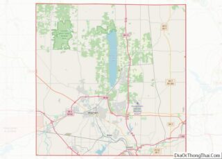
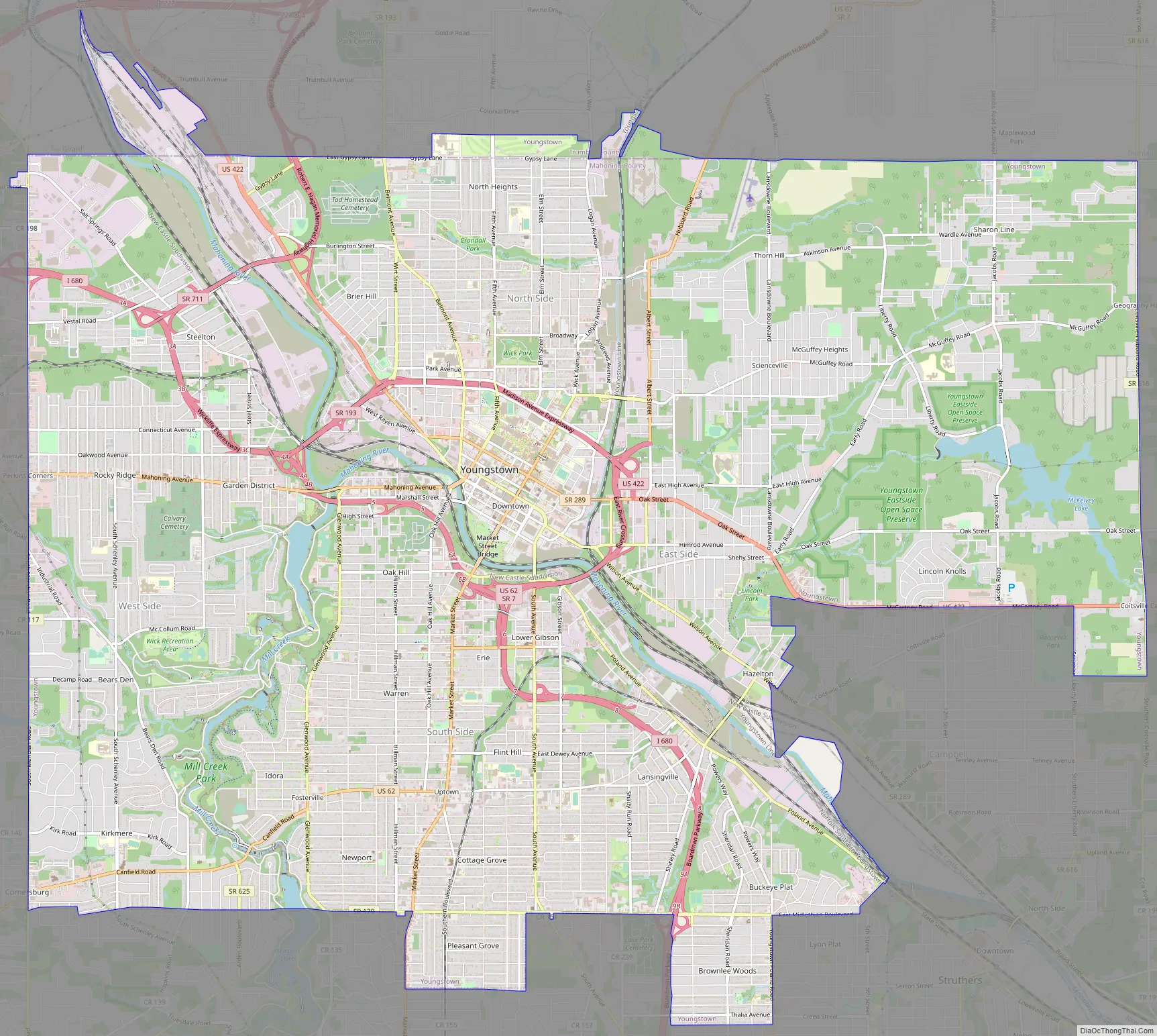
Youngstown Road Map
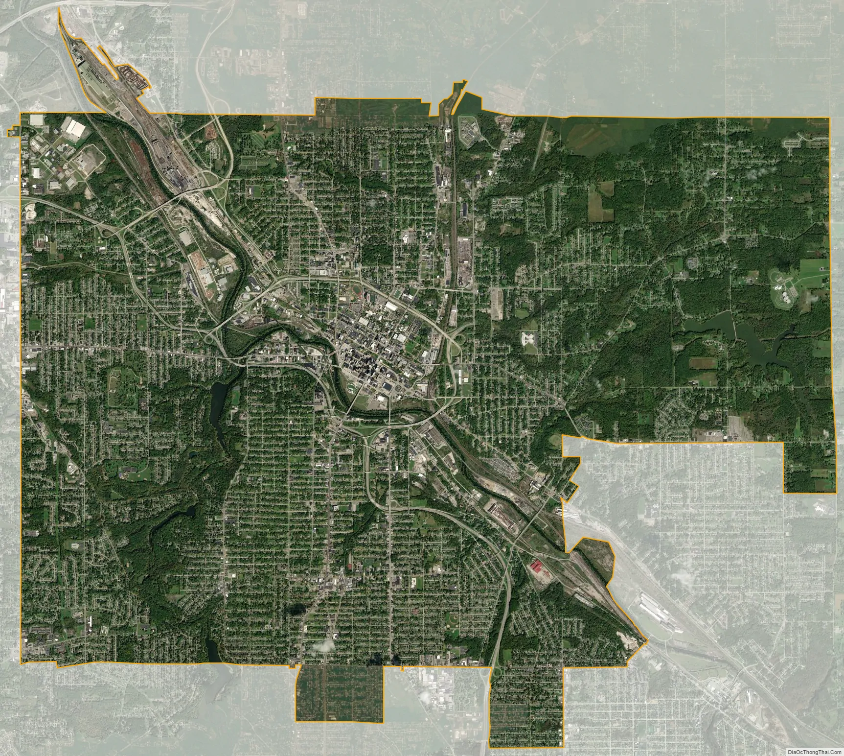
Youngstown city Satellite Map
Geography
According to the United States Census Bureau, the city has an area of 34.60 square miles (89.61 km), of which 33.96 square miles (87.96 km) is land and 0.64 square miles (1.66 km) is water.
Youngstown is in the Mahoning Valley on the Glaciated Allegheny Plateau. At the end of the last ice age, the glaciers left behind a uniform plain, with valleys such as that caused by the Mahoning River traversing the plain. Lakes created by glaciers that dammed small streams were eventually drained, leaving behind fertile terrain.
Neighborhoods
Central Youngstown consists of the original city layout designed by John Young, including Downtown Youngstown. Downtown Youngstown is the site of most of the city’s government buildings and banks. A number of entertainment venues are also located in the downtown, including the Covelli Centre, Powers Auditorium, the DeYor Performing Arts Center, and Youngstown Foundation Amphitheatre. In addition, the downtown sits to the immediate south of notable cultural and educational resources, including Youngstown State University, the Butler Institute of American Art, and the McDonough Museum of Contemporary Art. The Arlington, Mahoning Commons, Riverbend, Smoky Hollow and University neighborhoods that surround downtown compromise what is considered Central Youngstown. The area is the smallest division of Youngstown, as well as its least populous, but also its least residential by zoning. It is surrounded by the I-680 and Madison Avenue Expressway highway system.
The North Side consists of the Brier Hill, Crandall Park, North Heights, and Wick Park neighborhoods and the northern section of the Riverbend Industrial Park. Brier Hill was considered one of the city’s cultural hotbeds due to many Welsh, Irish, Italian, and African American migrants settling in it, but primarily was once viewed as the city’s “Little Italy” as reflected by the Brier Hill-style pizza. Each year, at the end of August, the Brier Hill Fest attracts thousands of visitors from Northeast Ohio and Western Pennsylvania. The historic Crandall Park neighborhood was once home to the city’s wealthiest families, and many of the mansions of industrial executives are still including in the Crandall Park-Fifth Avenue Historic District.
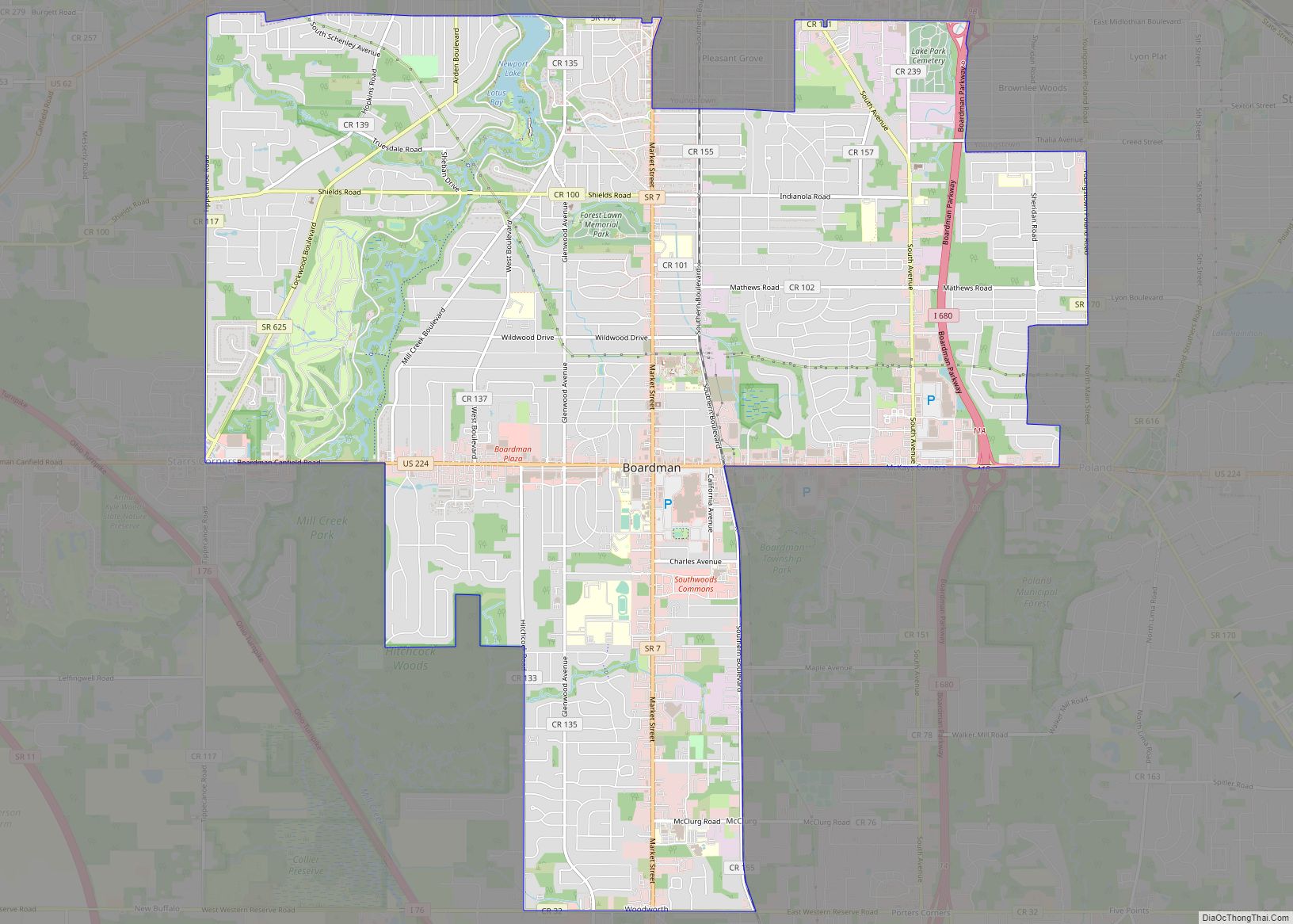
Youngstown’s South Side is, and historically has been, the city’s densest and most populous division, with numerous neighborhoods from each of the city’s periods of expansion. The older neighborhoods in this district, Oak Hill, Erie, Warren, and Lower Gibson, were among the first founded on the South Side during the 19th century and were completely annexed by 1910 as Youngstown industrialized. Later neighborhoods, such as Fosterville, Newport, Lansingville, Buckeye Plat, and Cottage Grove came into being as industry and population expanded throughout the first half of the 20th century, being annexed in 1929 from the remainder of Youngstown Township. The Pleasant Grove and Brownlee Woods neighborhoods further south were also annexed in 1929 from Boardman Township. These neighborhoods were generally well connected to each together and were defined by economic class as they became increasingly suburban further from the downtown area. There are further sub-neighborhoods in the South Side as well, such as Indian Village, Handel’s, Boulevard Park, Cochran Park, Powerstown, and Gibsonville that have distinct identities within their larger neighborhoods. The South Side shares Mill Creek Park with the West Side.
The East Side is the largest of the city’s regions by area and consists of the East High, East Side, Hazelton, Landsdowne, Lincoln Knolls, Scienceville and Sharon Line/McGuffey Heights communities. The neighborhoods on the East Side closest to Downtown Youngstown were among the earliest developed in the city. However, much of the East Side is undeveloped fields and forests, as the land was annexed in the 1950s as part of a zoning effort for future development that never occurred.
Altogether the most recently developed side of Youngstown, the neighborhoods of Belle Vista, Cornersburg, Garden District, Kirkmere, Rocky Ridge, and Schenley were built from the 1930s until the 1950s progressing southward, apart from the early Steelton neighborhood and industrial Salt Springs neighborhood. It shares Mill Creek Park with the South Side and lies southwest of the Mahoning River.
Climate
Youngstown has a humid continental climate (Köppen Dfb/Dfa), typical of the Midwestern United States, with four distinct seasons and lies within USDA hardiness zone 6a. Winters are cold and dry but typically bring a mix of rain, sleet, and snow with occasional heavy snowfall and icing. January is the coldest month with an average mean temperature of 26.8 °F (−2.9 °C), with temperatures on average dropping to or below 0 °F (−18 °C) on 4.1 days and staying at or below freezing on 43 days per year. Snowfall averages 67.8 inches (172 cm) per season, somewhat less than the snowbelt areas closer to Lake Erie. The snowiest month on record was 53.1 inches (135 cm) in December 2010, while winter snowfall amounts have ranged from 118.7 in (301 cm) in 2010–11 to 25.2 in (64 cm) in 1948–49. Springs generally see a transition to fewer weather systems that produce heavier rainfall. Summers are typically very warm and humid with temperatures exceeding 90 °F (32 °C) on 7.7 days per year on average; the annual count has been as high as 40 days in 1943, while the most recent year to not reach that mark is 2014. July is the warmest month with an average mean temperature of 71.5 °F (22 °C).
The all-time record high temperature in Youngstown of 103 °F (39 °C) was established on July 10, 1936, which occurred during the Dust Bowl, and the all-time record low temperature of −22 °F (−30 °C) was set on January 19, 1994. The first and last freezes of the season on average fall on October 14 and May 6, respectively, allowing a growing season of 160 days; however, freezing temperatures have been observed in every month except July. The normal annual mean temperature is 49.9 °F (9.9 °C). Normal yearly precipitation based on the 30-year average from 1991 to 2020 is 41.19 inches (1,046 mm), falling on an average of 168 days per year. Monthly precipitation has ranged from 10.66 in (271 mm) in June 1986 to 0.16 in (4.1 mm) in October 1924, while for annual precipitation the historical range is 54.01 in (1,372 mm) in 2011 to 23.79 in (604 mm) in 1963.
See also
Map of Ohio State and its subdivision:- Adams
- Allen
- Ashland
- Ashtabula
- Athens
- Auglaize
- Belmont
- Brown
- Butler
- Carroll
- Champaign
- Clark
- Clermont
- Clinton
- Columbiana
- Coshocton
- Crawford
- Cuyahoga
- Darke
- Defiance
- Delaware
- Erie
- Fairfield
- Fayette
- Franklin
- Fulton
- Gallia
- Geauga
- Greene
- Guernsey
- Hamilton
- Hancock
- Hardin
- Harrison
- Henry
- Highland
- Hocking
- Holmes
- Huron
- Jackson
- Jefferson
- Knox
- Lake
- Lake Erie
- Lawrence
- Licking
- Logan
- Lorain
- Lucas
- Madison
- Mahoning
- Marion
- Medina
- Meigs
- Mercer
- Miami
- Monroe
- Montgomery
- Morgan
- Morrow
- Muskingum
- Noble
- Ottawa
- Paulding
- Perry
- Pickaway
- Pike
- Portage
- Preble
- Putnam
- Richland
- Ross
- Sandusky
- Scioto
- Seneca
- Shelby
- Stark
- Summit
- Trumbull
- Tuscarawas
- Union
- Van Wert
- Vinton
- Warren
- Washington
- Wayne
- Williams
- Wood
- Wyandot
- Alabama
- Alaska
- Arizona
- Arkansas
- California
- Colorado
- Connecticut
- Delaware
- District of Columbia
- Florida
- Georgia
- Hawaii
- Idaho
- Illinois
- Indiana
- Iowa
- Kansas
- Kentucky
- Louisiana
- Maine
- Maryland
- Massachusetts
- Michigan
- Minnesota
- Mississippi
- Missouri
- Montana
- Nebraska
- Nevada
- New Hampshire
- New Jersey
- New Mexico
- New York
- North Carolina
- North Dakota
- Ohio
- Oklahoma
- Oregon
- Pennsylvania
- Rhode Island
- South Carolina
- South Dakota
- Tennessee
- Texas
- Utah
- Vermont
- Virginia
- Washington
- West Virginia
- Wisconsin
- Wyoming