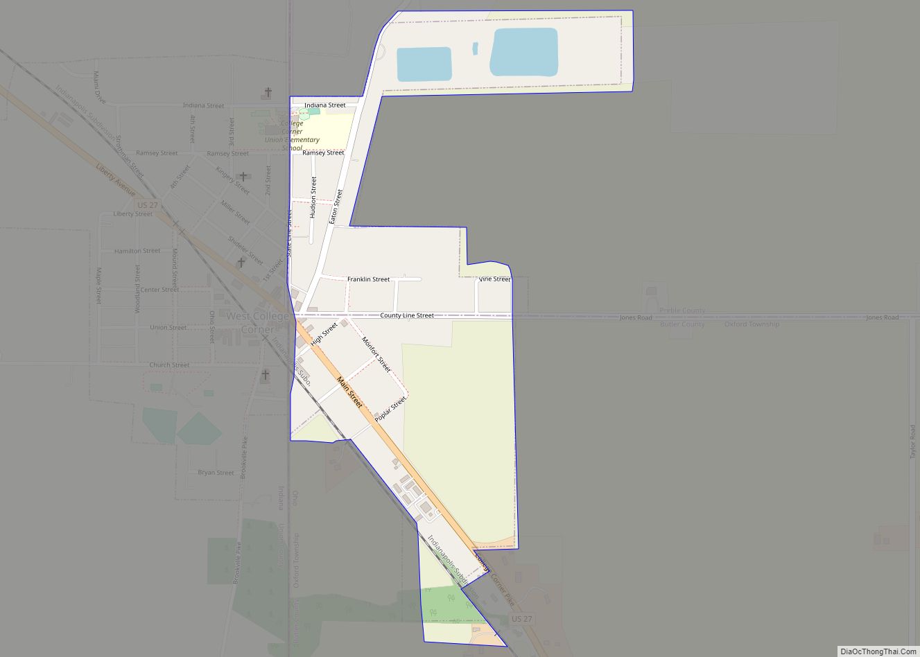
College Corner is a village in Butler and Preble counties in the southwestern part of the U.S. state of Ohio, 5 miles (8 km) northwest of Oxford. The population was 387 at the 2020 census. The village lies on the state line with Indiana, where it borders the town of West College Corner. The public school, ... Read more
Ohio Cities and Places
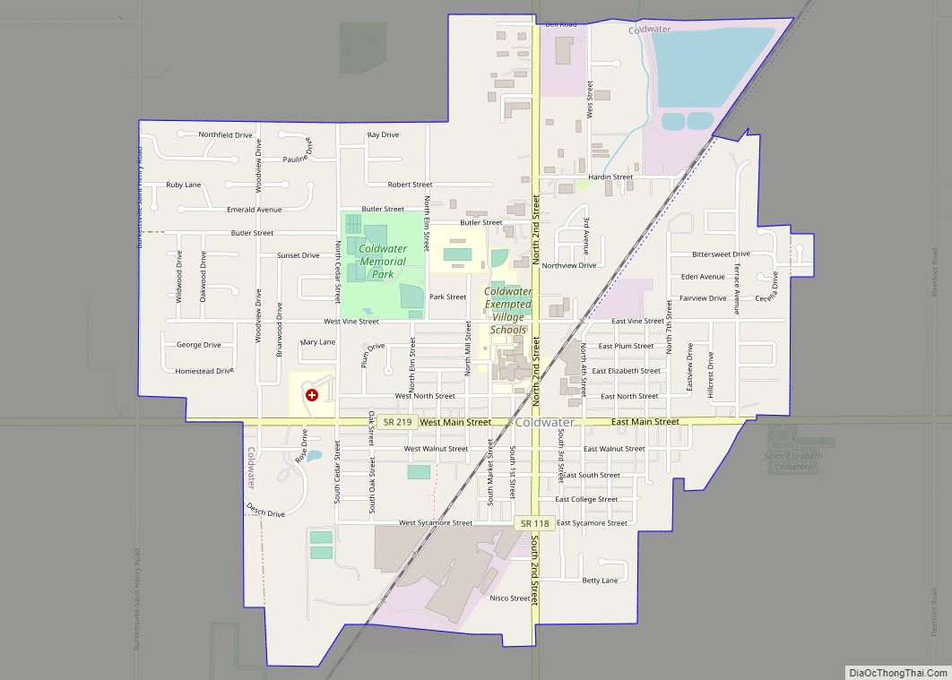
Coldwater is a village in Mercer County, Ohio, United States. The population was 4,427 at the 2010 census. Coldwater village overview: Name: Coldwater village LSAD Code: 47 LSAD Description: village (suffix) State: Ohio County: Mercer County Elevation: 909 ft (277 m) Total Area: 1.99 sq mi (5.16 km²) Land Area: 1.94 sq mi (5.02 km²) Water Area: 0.05 sq mi (0.13 km²) Total Population: 4,774 Population ... Read more
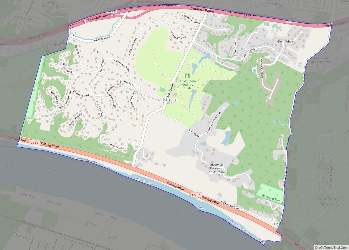
Coldstream is a census-designated place (CDP) in southern Anderson Township, Hamilton County, Ohio, United States. The population was 1,322 at the 2020 census. Coldstream CDP overview: Name: Coldstream CDP LSAD Code: 57 LSAD Description: CDP (suffix) State: Ohio County: Hamilton County Elevation: 822 ft (251 m) Total Area: 2.87 sq mi (7.42 km²) Land Area: 2.79 sq mi (7.21 km²) Water Area: 0.08 sq mi ... Read more
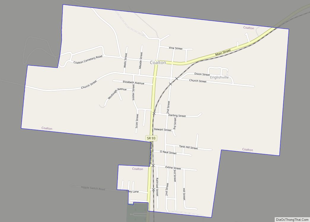
Coalton is a village in Jackson County, Ohio, United States. The population was 479 at the 2010 census. The village derives its name from Coal Township. Coalton village overview: Name: Coalton village LSAD Code: 47 LSAD Description: village (suffix) State: Ohio County: Jackson County Elevation: 692 ft (211 m) Total Area: 0.56 sq mi (1.44 km²) Land Area: 0.56 sq mi (1.44 km²) ... Read more
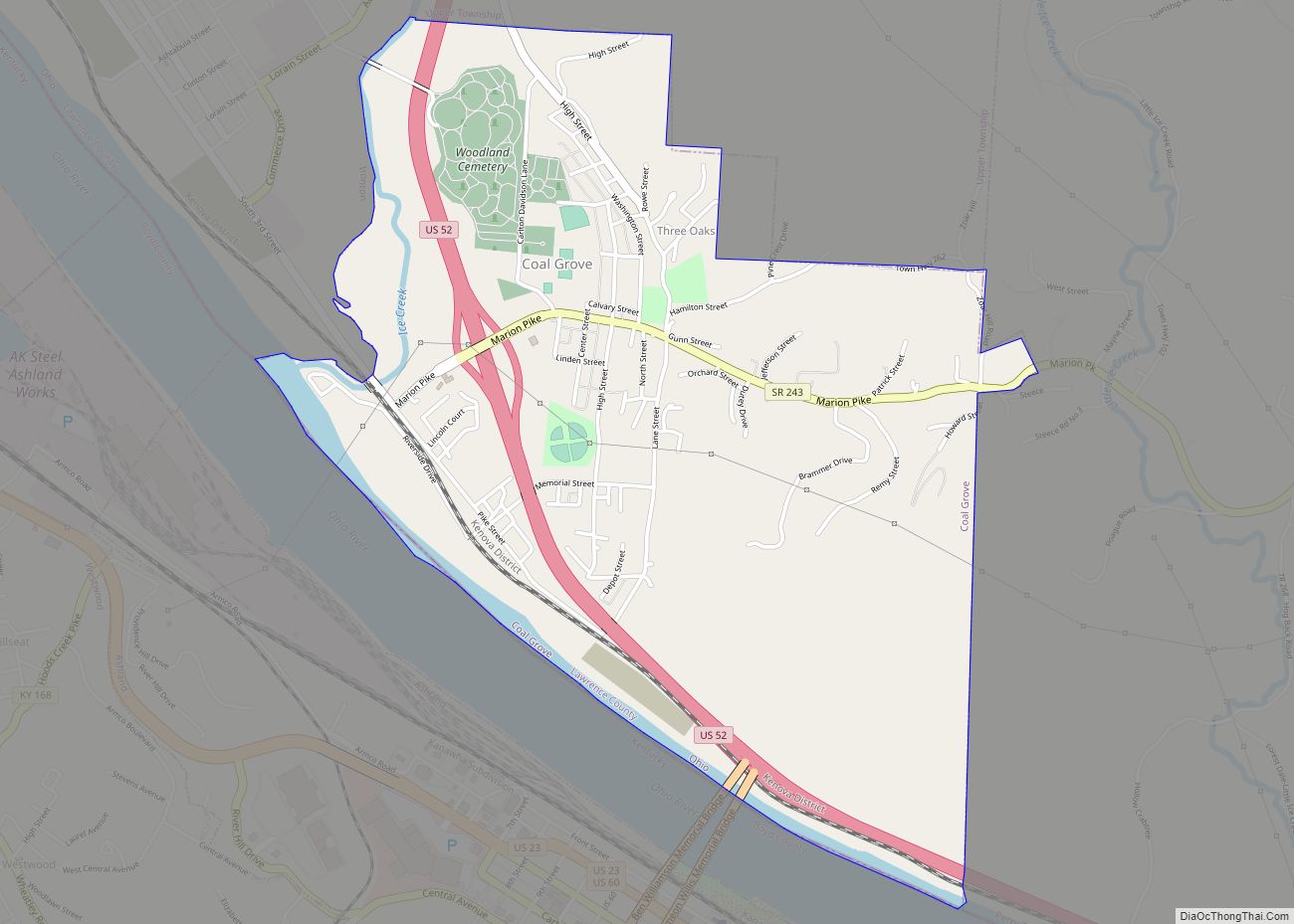
Coal Grove is a village in Lawrence County, Ohio, United States, along the Ohio River. The population was 2,165 at the 2010 census. It borders the city of Ironton and lies across the Ohio River from Ashland, Kentucky. It is linked to Ashland by the Ben Williamson Memorial Bridge and Simeon Willis Memorial Bridge. Coal ... Read more
Clyde /ˈklaɪd/ is a city in Sandusky County, Ohio, located eight miles southeast of Fremont. The population was 6,325 at the time of the 2010 census. The National Arbor Day Foundation has designated Clyde as a Tree City USA. The town is known for having served as inspiration for the setting of Sherwood Anderson’s 1919 ... Read more
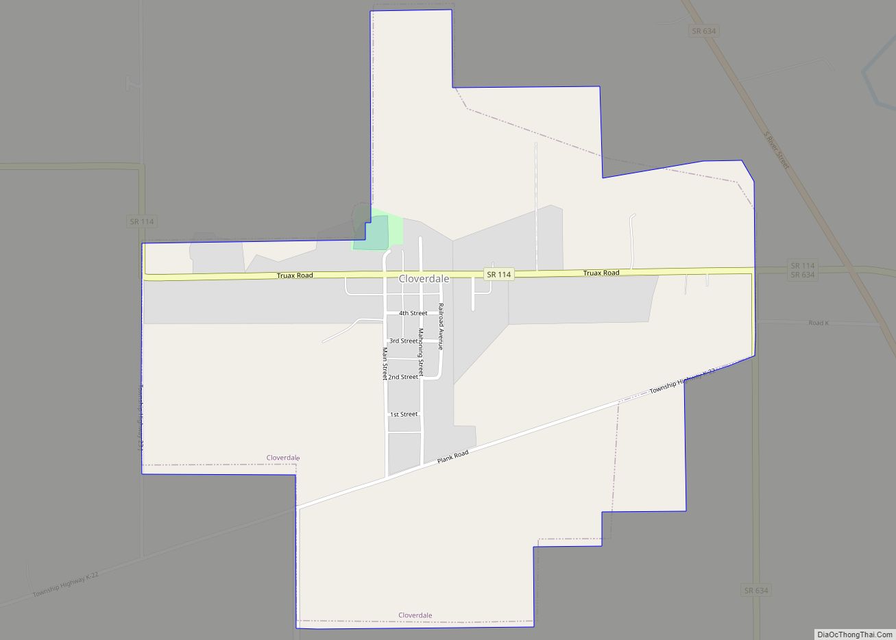
Cloverdale is a village in Perry Township, Putnam County, Ohio, United States. The population was 168 at the 2010 census. Cloverdale village overview: Name: Cloverdale village LSAD Code: 47 LSAD Description: village (suffix) State: Ohio County: Putnam County Elevation: 719 ft (219 m) Total Area: 0.62 sq mi (1.61 km²) Land Area: 0.62 sq mi (1.60 km²) Water Area: 0.01 sq mi (0.02 km²) Total Population: ... Read more
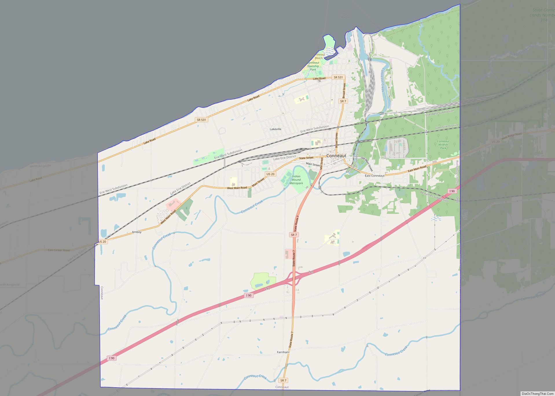
Conneaut (/ˈkɒniɔːt/ KON-ee-awt) is a city in Ashtabula County, Ohio, United States, along Lake Erie at the mouth of Conneaut Creek 66 miles (106 km) northeast of Cleveland. The population was 12,318 at the 2020 census. Conneaut is located at the far northeastern corner of the state, within the Ashtabula micropolitan area. Conneaut city overview: Name: ... Read more
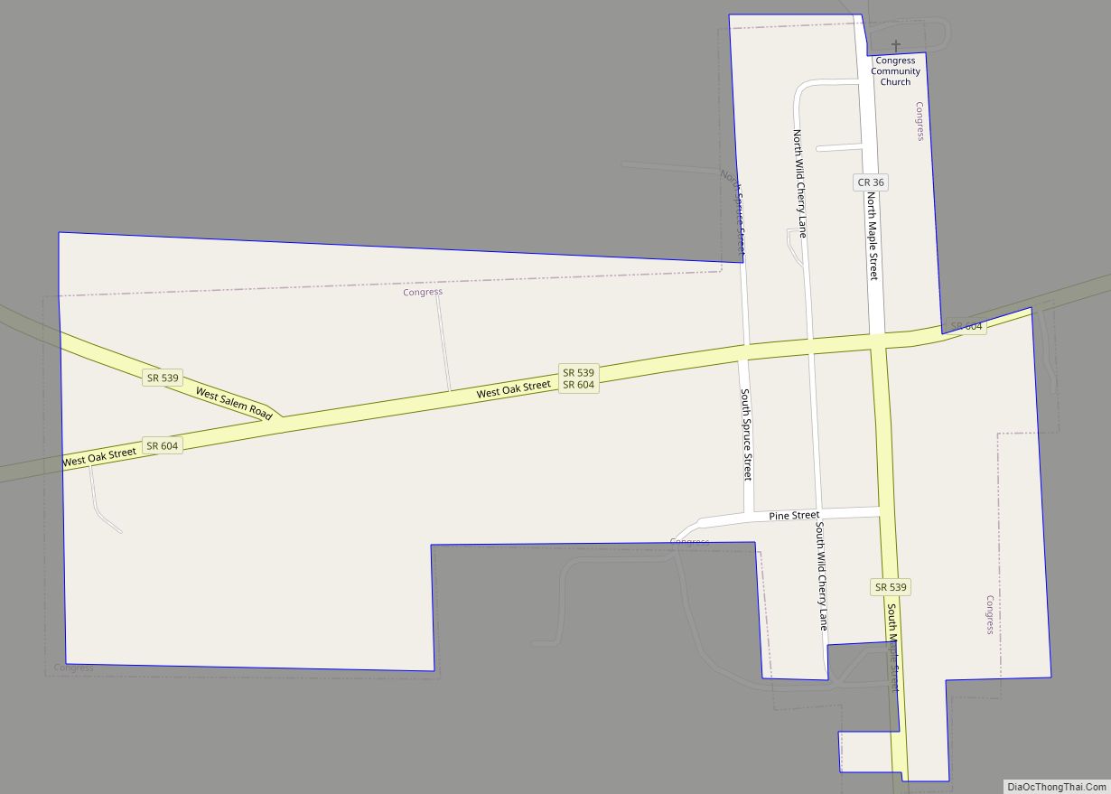
Congress is a village in Wayne County, Ohio, United States. The population was 185 at the 2010 census. Congress was originally called Waynesburg, and under the latter name was laid out in 1827. Congress village overview: Name: Congress village LSAD Code: 47 LSAD Description: village (suffix) State: Ohio County: Wayne County Elevation: 1,161 ft (354 m) Total ... Read more
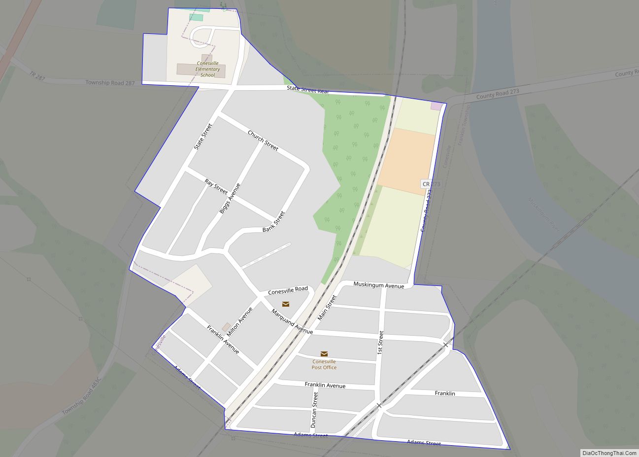
Conesville is a village in Coshocton County, Ohio, United States, along the Muskingum River. The population was 328 at the 2020 census. Conesville village overview: Name: Conesville village LSAD Code: 47 LSAD Description: village (suffix) State: Ohio County: Coshocton County Elevation: 745 ft (227 m) Total Area: 0.14 sq mi (0.36 km²) Land Area: 0.14 sq mi (0.36 km²) Water Area: 0.00 sq mi (0.00 km²) ... Read more
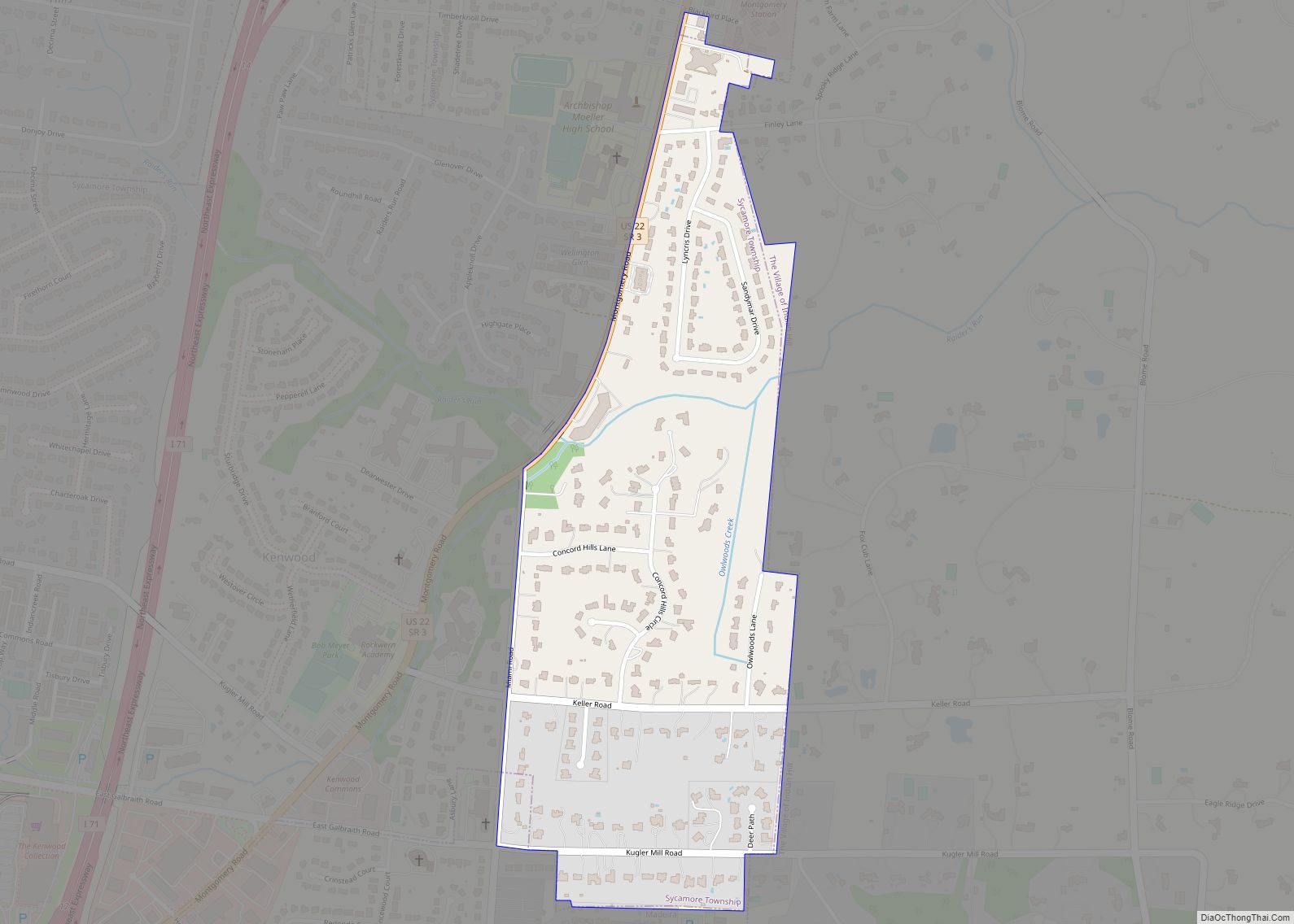
Concorde Hills is a census-designated place (CDP) in Sycamore Township, Hamilton County, Ohio, United States. The population was 644 at the 2020 census. Concorde Hills CDP overview: Name: Concorde Hills CDP LSAD Code: 57 LSAD Description: CDP (suffix) State: Ohio County: Hamilton County Elevation: 800 ft (200 m) Total Area: 0.35 sq mi (0.91 km²) Land Area: 0.35 sq mi (0.91 km²) Water ... Read more
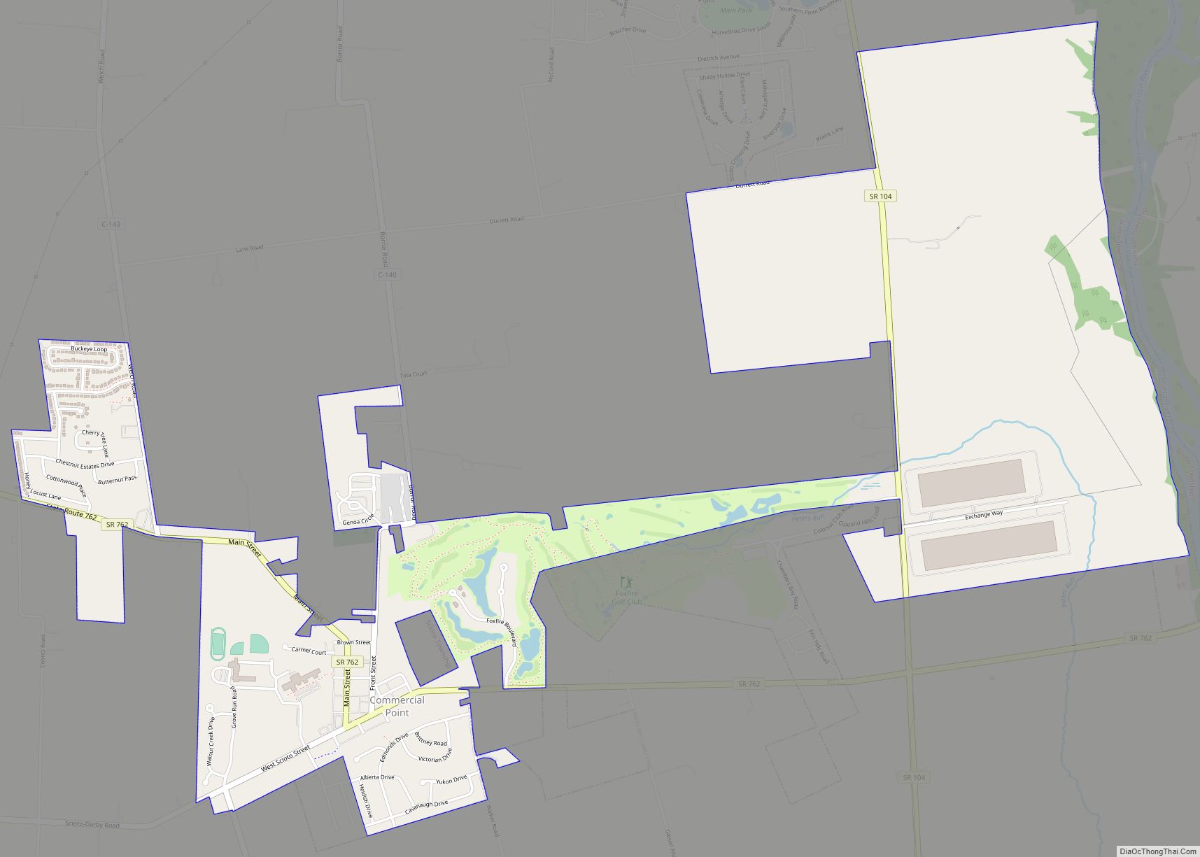
Commercial Point is a village in Pickaway County, Ohio, United States. The population was 1,582 at the 2010 census. It is the fastest-growing community in Pickaway County and one of the fastest-growing villages in central Ohio. It is a suburb of Columbus, OH Commercial Point village overview: Name: Commercial Point village LSAD Code: 47 LSAD ... Read more
