College Corner is a village in Butler and Preble counties in the southwestern part of the U.S. state of Ohio, 5 miles (8 km) northwest of Oxford. The population was 387 at the 2020 census. The village lies on the state line with Indiana, where it borders the town of West College Corner. The public school, part of the Union County–College Corner Joint School District, is bisected by the state line and is operated jointly with Indiana authorities.
| Name: | College Corner village |
|---|---|
| LSAD Code: | 47 |
| LSAD Description: | village (suffix) |
| State: | Ohio |
| County: | Butler County, Preble County |
| Elevation: | 981 ft (299 m) |
| Total Area: | 0.26 sq mi (0.68 km²) |
| Land Area: | 0.25 sq mi (0.65 km²) |
| Water Area: | 0.01 sq mi (0.03 km²) |
| Total Population: | 387 |
| Population Density: | 1,548.00/sq mi (597.42/km²) |
| ZIP code: | 45003 |
| Area code: | 513 |
| FIPS code: | 3916700 |
| GNISfeature ID: | 1060986 |
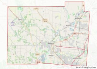
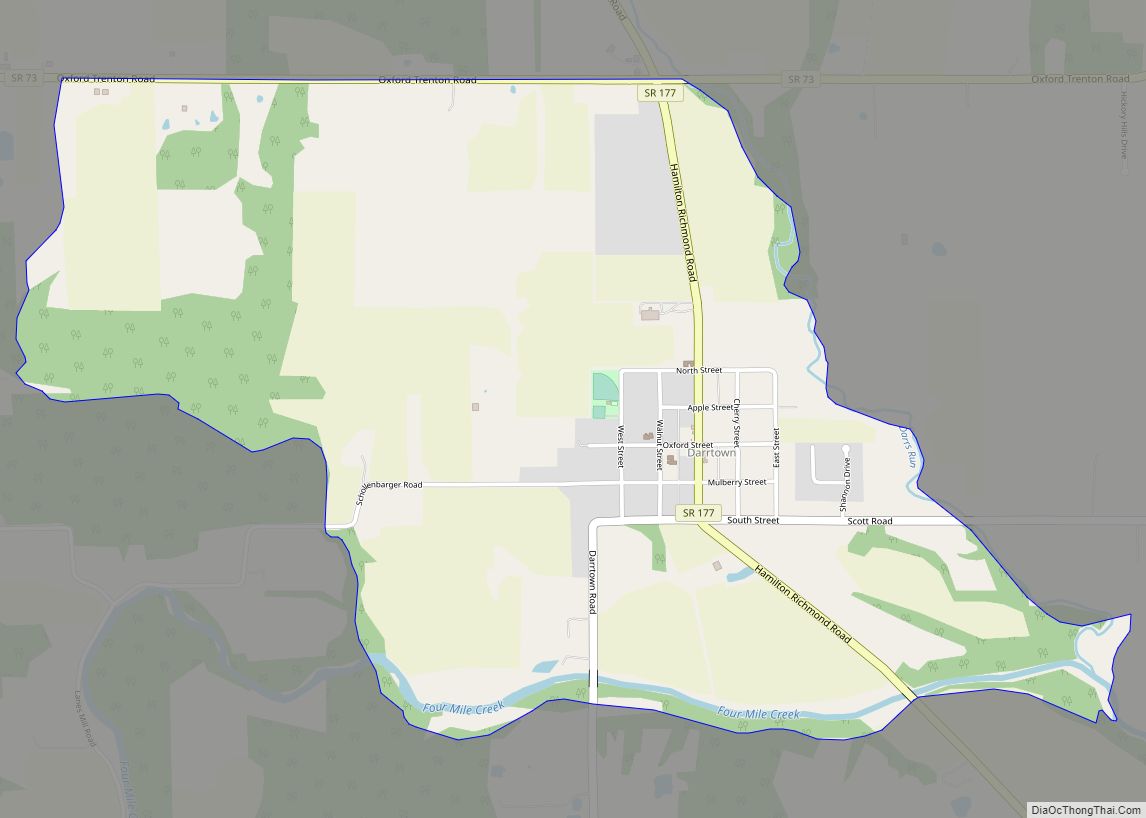
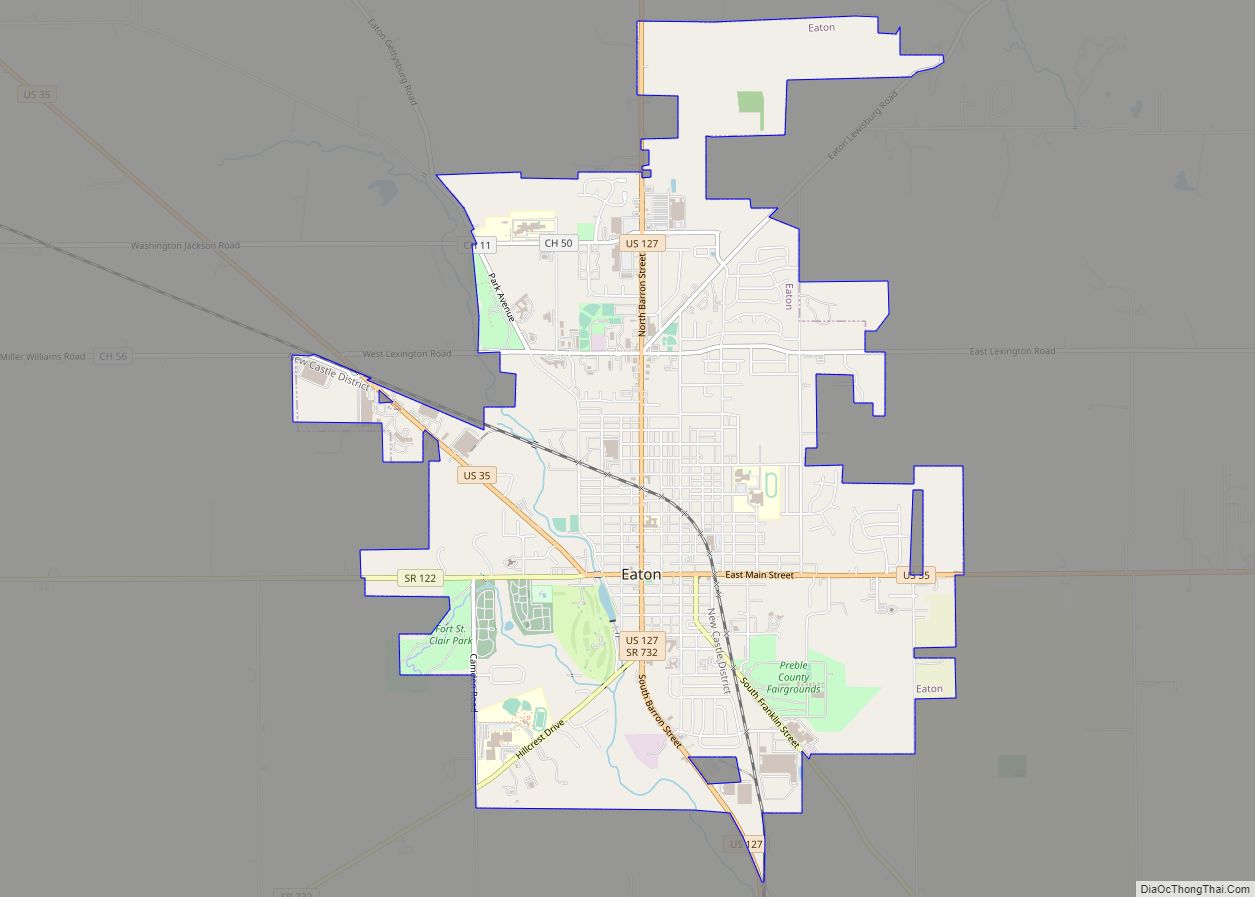
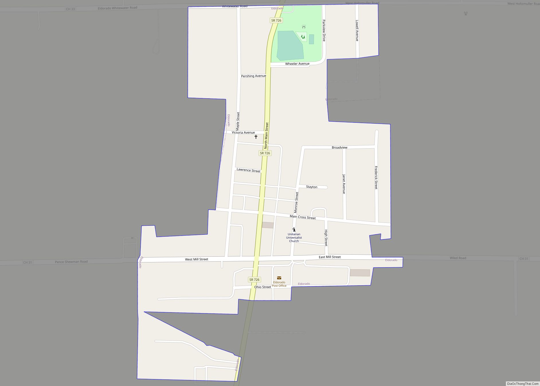
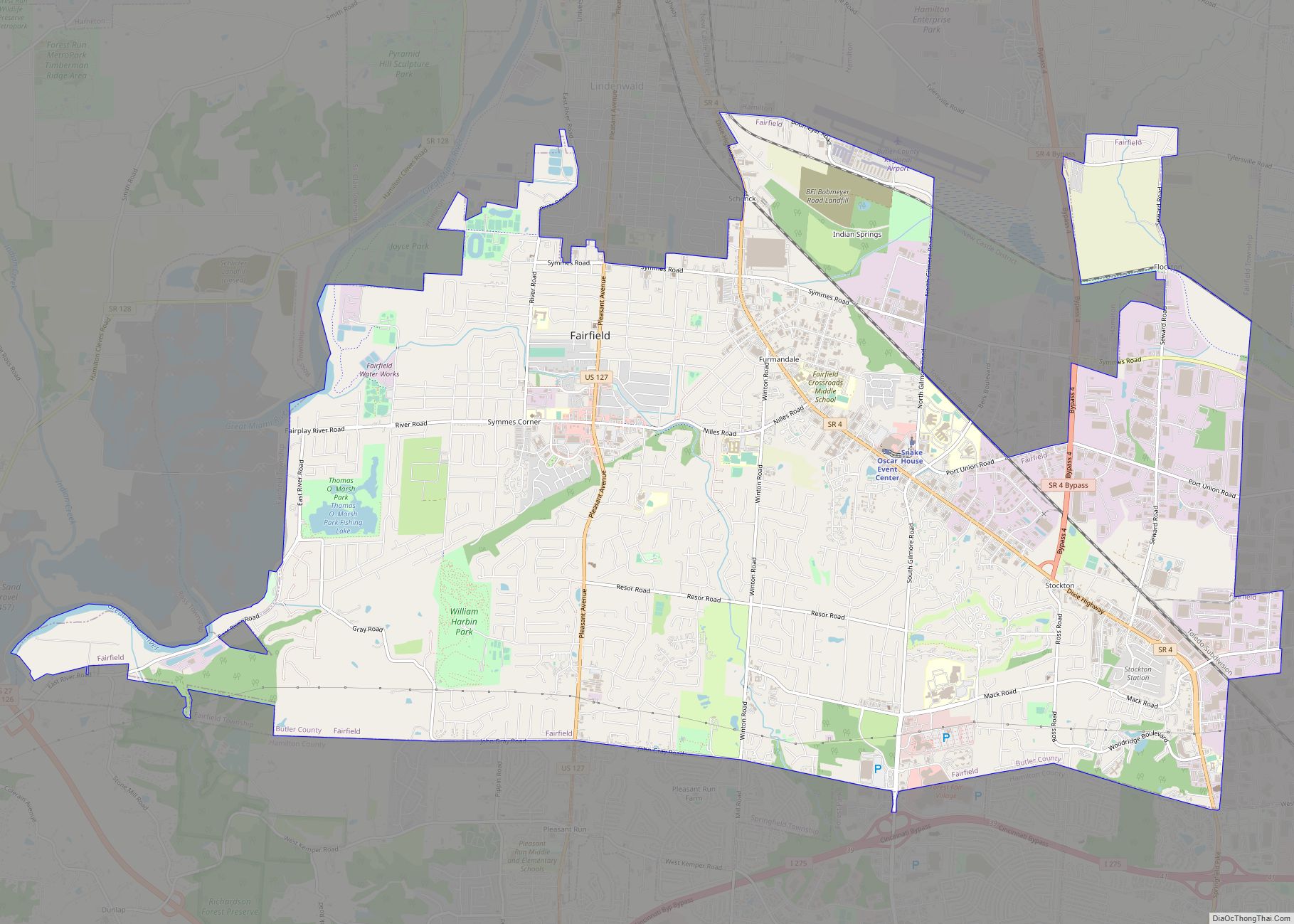
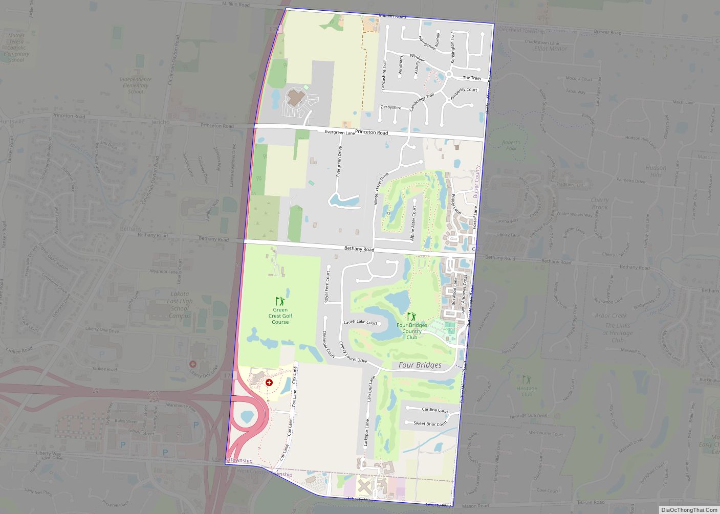
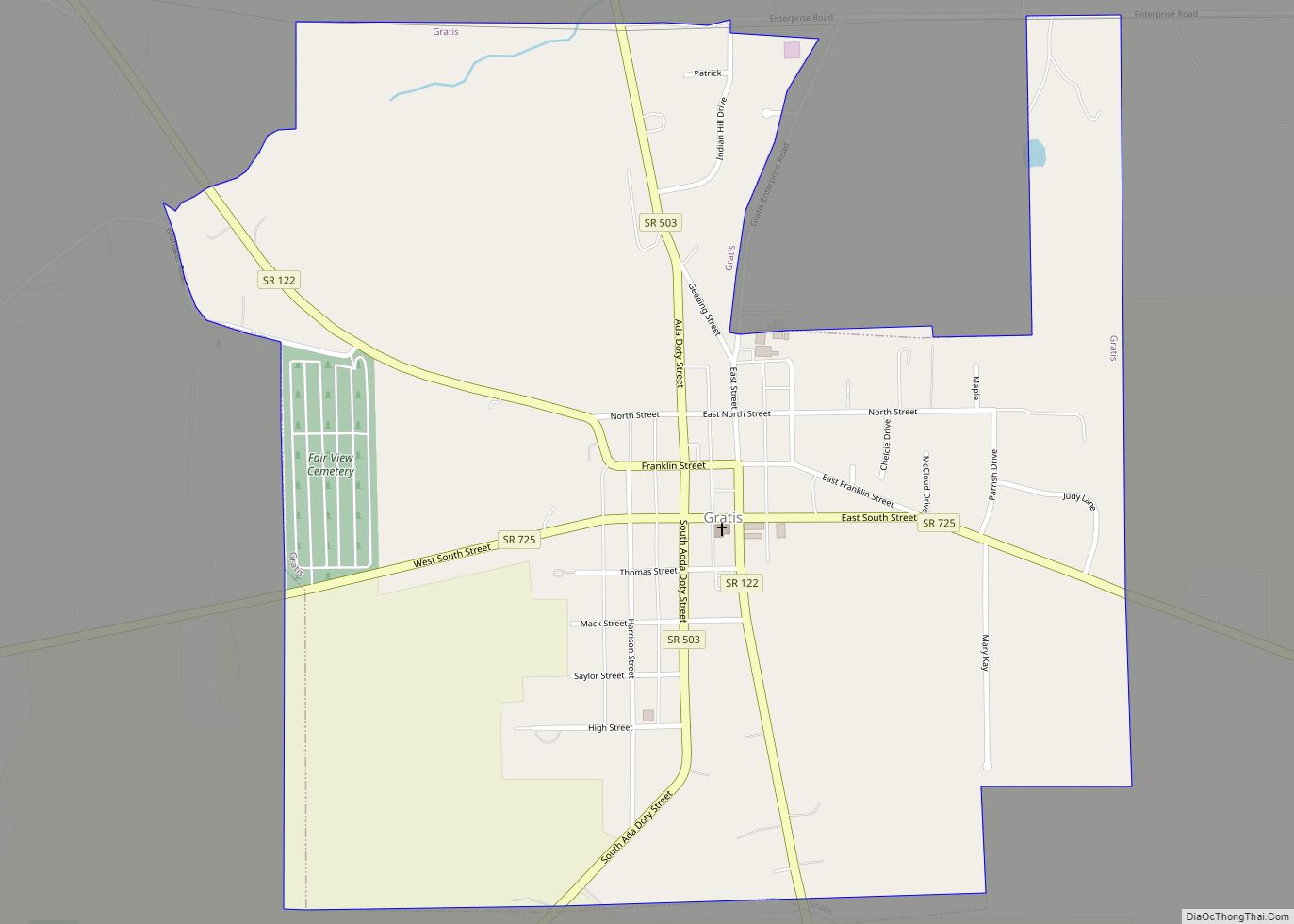
Online Interactive Map
Click on ![]() to view map in "full screen" mode.
to view map in "full screen" mode.
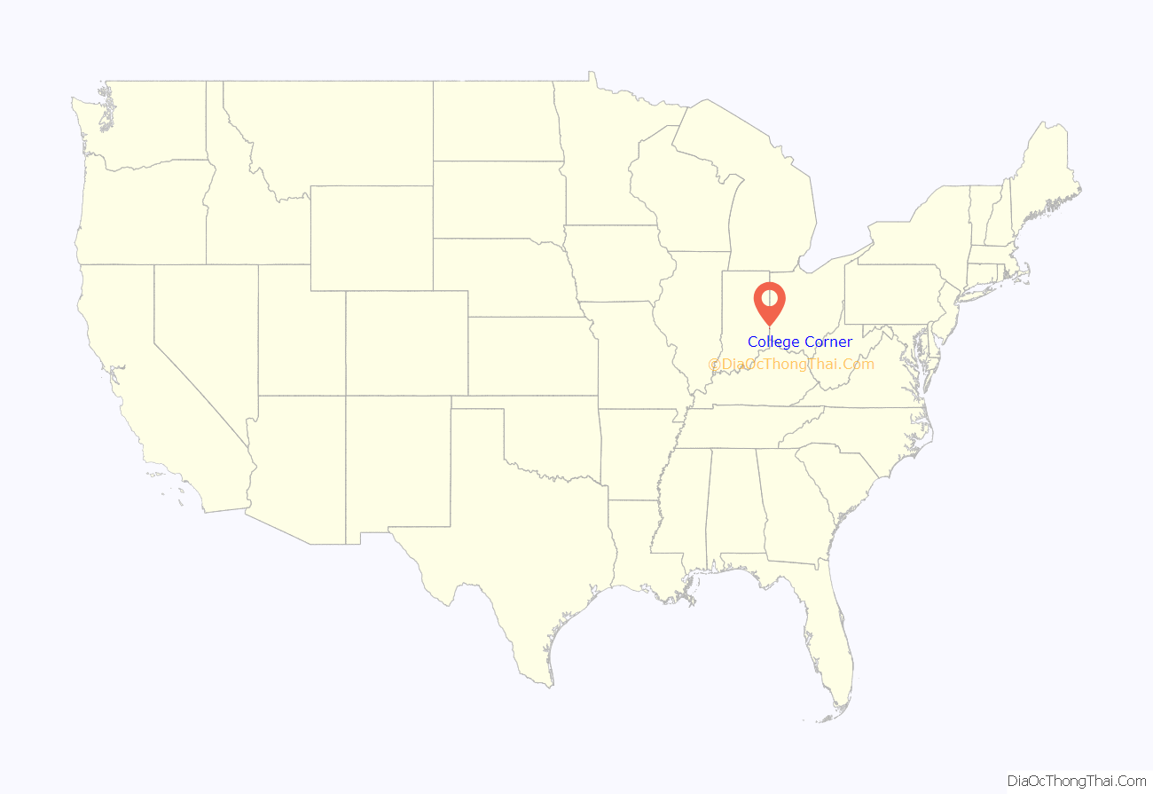
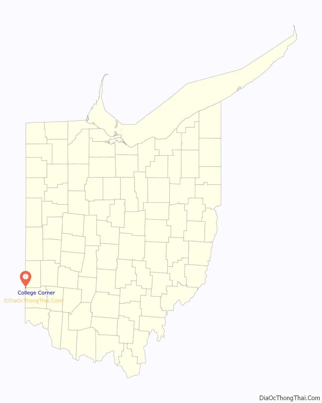
College Corner location map. Where is College Corner village?
History
It was settled in 1811 and takes its name from its position in the northwestern corner of the “College Township”, the survey township designated the previous year by the Ohio General Assembly as the site of the state college that became Miami University. This survey township was later organized as a civil township, Oxford Township.
College Corner was laid out in 1837.
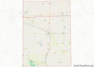
College Corner Road Map

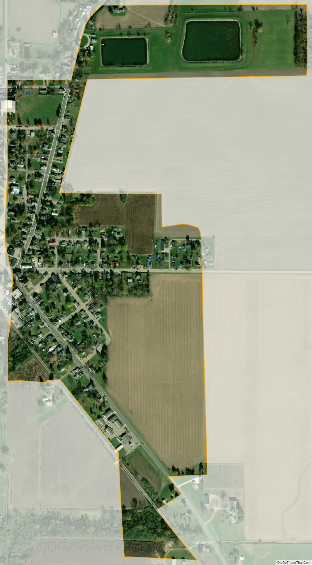
College Corner city Satellite Map
Geography
College Corner is located at 39°34′4″N 84°48′45″W / 39.56778°N 84.81250°W / 39.56778; -84.81250 (39.567851, -84.812537).
According to the United States Census Bureau, the village has a total area of 0.26 square miles (0.67 km), of which 0.25 square miles (0.65 km) is land and 0.01 square miles (0.03 km) is water.
See also
Map of Ohio State and its subdivision:- Adams
- Allen
- Ashland
- Ashtabula
- Athens
- Auglaize
- Belmont
- Brown
- Butler
- Carroll
- Champaign
- Clark
- Clermont
- Clinton
- Columbiana
- Coshocton
- Crawford
- Cuyahoga
- Darke
- Defiance
- Delaware
- Erie
- Fairfield
- Fayette
- Franklin
- Fulton
- Gallia
- Geauga
- Greene
- Guernsey
- Hamilton
- Hancock
- Hardin
- Harrison
- Henry
- Highland
- Hocking
- Holmes
- Huron
- Jackson
- Jefferson
- Knox
- Lake
- Lake Erie
- Lawrence
- Licking
- Logan
- Lorain
- Lucas
- Madison
- Mahoning
- Marion
- Medina
- Meigs
- Mercer
- Miami
- Monroe
- Montgomery
- Morgan
- Morrow
- Muskingum
- Noble
- Ottawa
- Paulding
- Perry
- Pickaway
- Pike
- Portage
- Preble
- Putnam
- Richland
- Ross
- Sandusky
- Scioto
- Seneca
- Shelby
- Stark
- Summit
- Trumbull
- Tuscarawas
- Union
- Van Wert
- Vinton
- Warren
- Washington
- Wayne
- Williams
- Wood
- Wyandot
- Alabama
- Alaska
- Arizona
- Arkansas
- California
- Colorado
- Connecticut
- Delaware
- District of Columbia
- Florida
- Georgia
- Hawaii
- Idaho
- Illinois
- Indiana
- Iowa
- Kansas
- Kentucky
- Louisiana
- Maine
- Maryland
- Massachusetts
- Michigan
- Minnesota
- Mississippi
- Missouri
- Montana
- Nebraska
- Nevada
- New Hampshire
- New Jersey
- New Mexico
- New York
- North Carolina
- North Dakota
- Ohio
- Oklahoma
- Oregon
- Pennsylvania
- Rhode Island
- South Carolina
- South Dakota
- Tennessee
- Texas
- Utah
- Vermont
- Virginia
- Washington
- West Virginia
- Wisconsin
- Wyoming