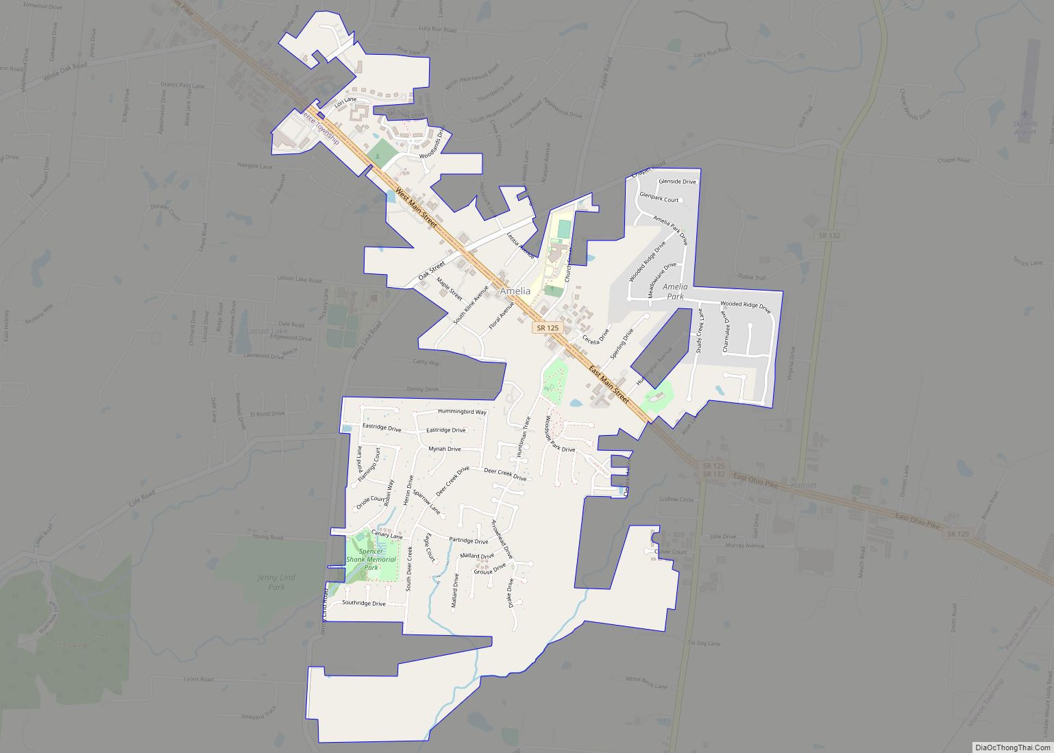
Amelia is an unincorporated community and former village in Pierce and Batavia townships in Clermont County, Ohio, United States. The population was 12,575 at the 2020 census. Amelia incorporated in 1900. In November 2019, residents voted to dissolve the village over the imposition of a local income tax. Amelia was by far the most populous ... Read more
Ohio Cities and Places
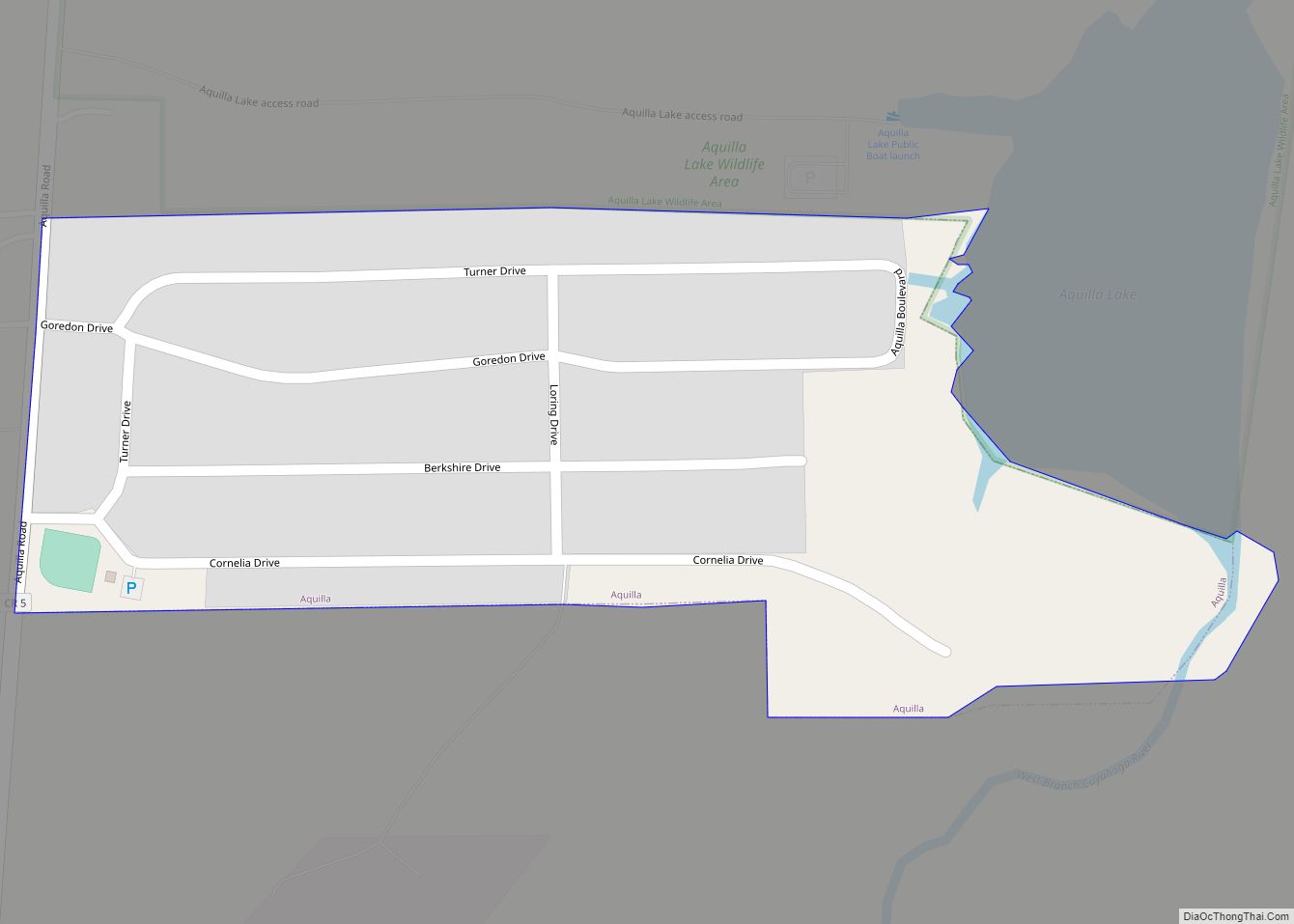
Aquilla is a village in Geauga County, Ohio, United States. The population was 305 at the 2020 census. It is part of the Cleveland metropolitan area. Aquilla village overview: Name: Aquilla village LSAD Code: 47 LSAD Description: village (suffix) State: Ohio County: Geauga County Elevation: 1,266 ft (386 m) Total Area: 0.15 sq mi (0.38 km²) Land Area: 0.15 sq mi (0.38 km²) ... Read more
Apple Valley is a census-designated place (CDP) in Knox County, in the U.S. state of Ohio. It consists of a planned community surrounding a 511-acre (2.07 km) reservoir named Apple Valley Lake. As of the 2010 census the CDP had a population of 5,058. Primarily a resort community, Apple Valley contains a golf course. Apple Valley ... Read more
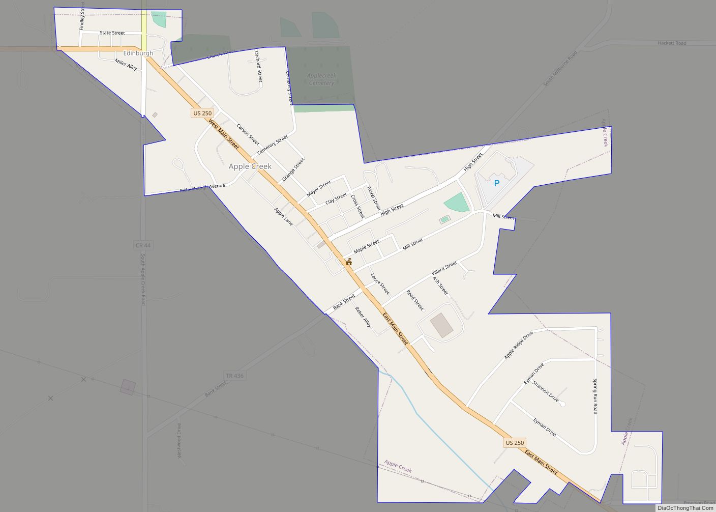
Apple Creek is a village in East Union Township, Wayne County, Ohio, United States. The population was 1,173 at the 2010 census. The village takes its name from nearby Apple Creek. Apple Creek village overview: Name: Apple Creek village LSAD Code: 47 LSAD Description: village (suffix) State: Ohio County: Wayne County Elevation: 1,043 ft (318 m) Total ... Read more
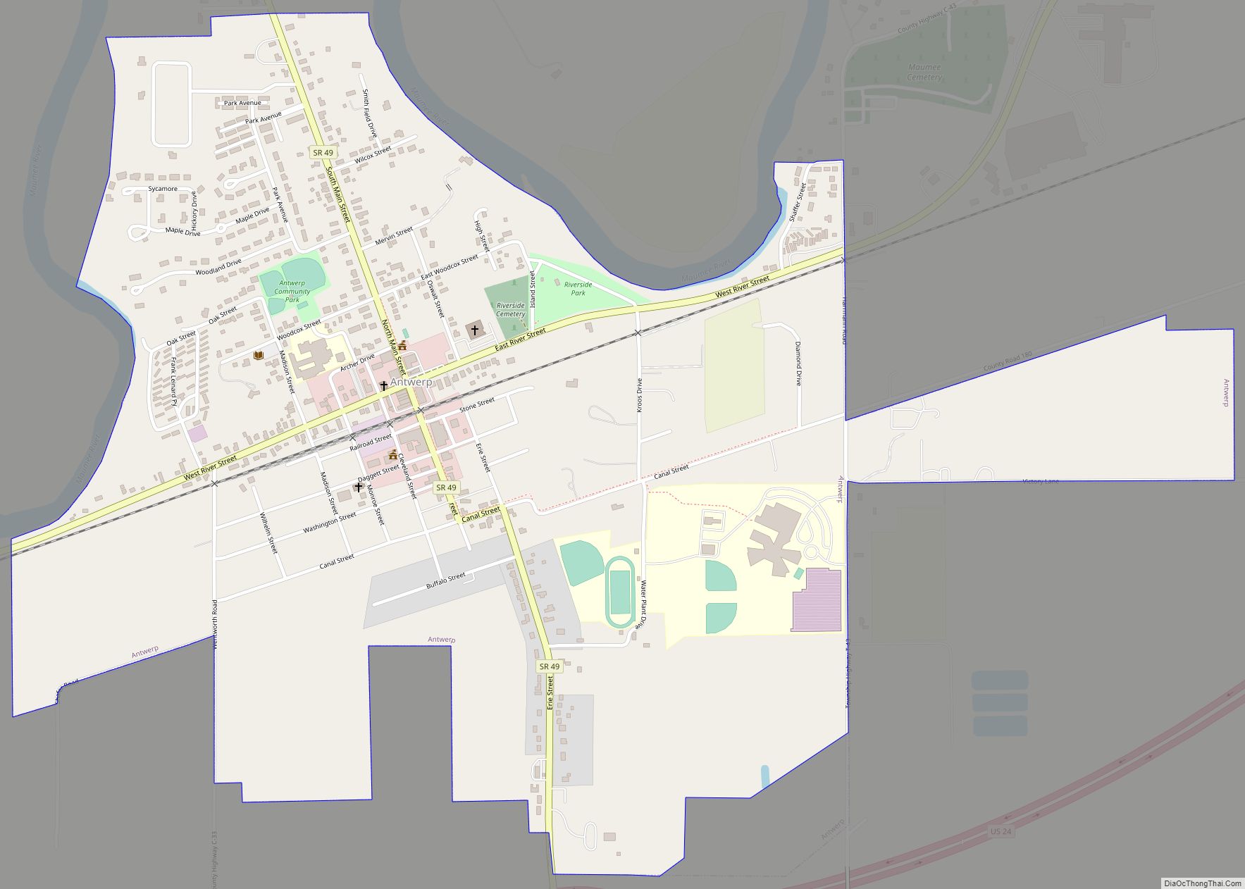
Antwerp is a village in Paulding County, Ohio, United States, along the Maumee River. Antwerp is home of the Antwerp Archers. The population was 1,736 at the 2010 census. Antwerp is the nearest village to the Six Mile Reservoir, the site of the Reservoir War in 1887. Antwerp is the birthplace of Asa Long, the ... Read more
Antioch is a village in Monroe County, Ohio, United States. The population was 71 at the 2020 census. Antioch village overview: Name: Antioch village LSAD Code: 47 LSAD Description: village (suffix) State: Ohio County: Monroe County Elevation: 1,070 ft (326 m) Total Area: 0.10 sq mi (0.27 km²) Land Area: 0.10 sq mi (0.27 km²) Water Area: 0.00 sq mi (0.00 km²) Total Population: 71 Population ... Read more
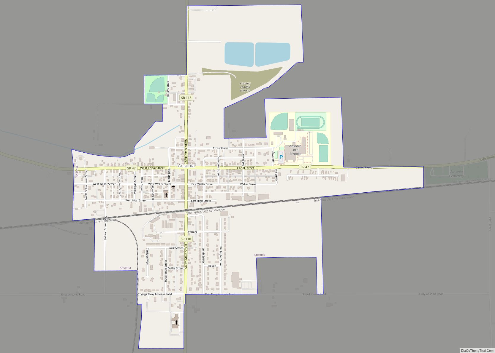
Ansonia is a village in Darke County, Ohio, United States. The population was 1,174 at the 2010 census. Ansonia village overview: Name: Ansonia village LSAD Code: 47 LSAD Description: village (suffix) State: Ohio County: Darke County Elevation: 997 ft (304 m) Total Area: 0.67 sq mi (1.73 km²) Land Area: 0.65 sq mi (1.68 km²) Water Area: 0.02 sq mi (0.05 km²) Total Population: 1,160 Population ... Read more
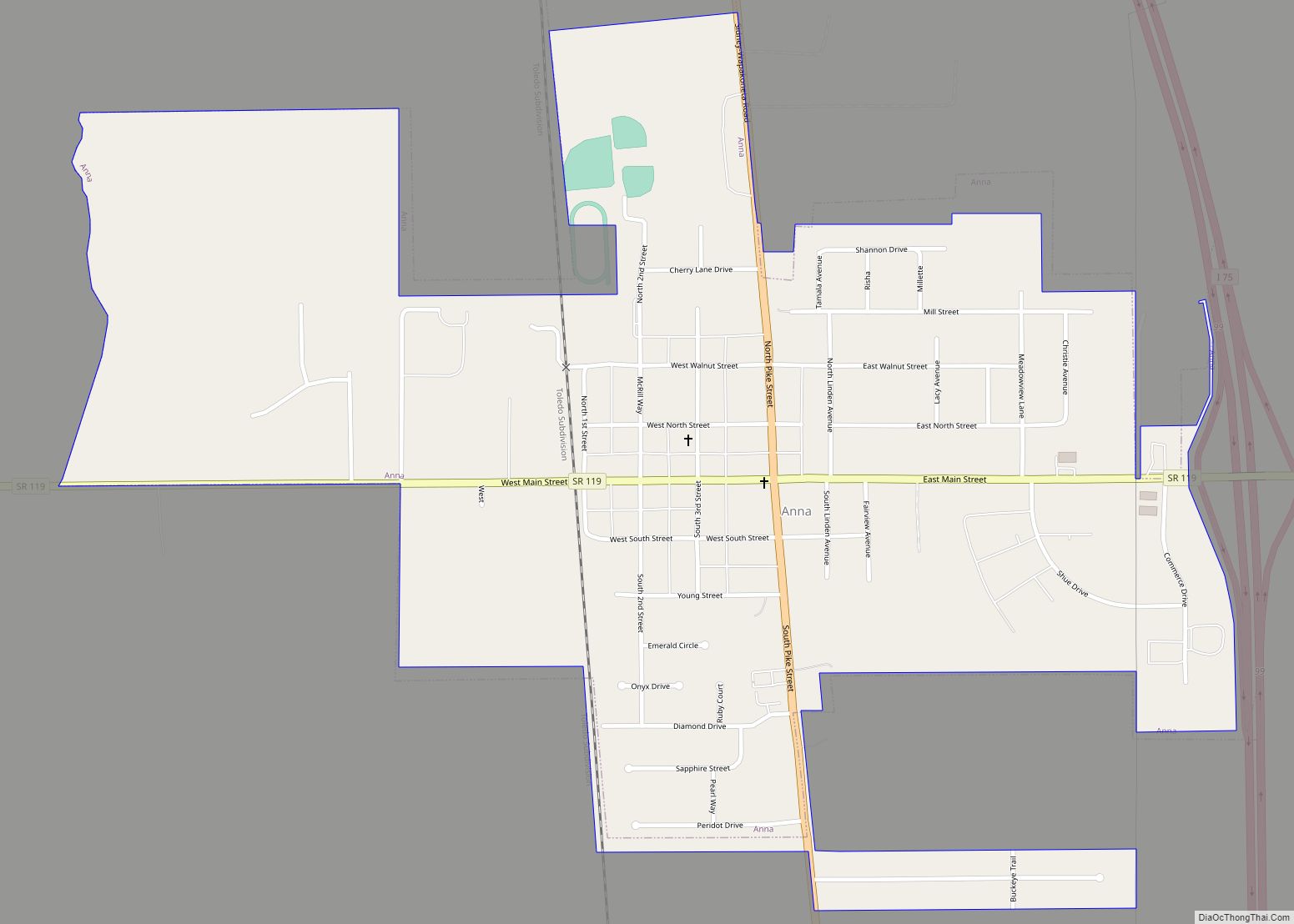
Anna is a village in Shelby County, Ohio, United States. The population was 1,567 at the 2010 census. Anna village overview: Name: Anna village LSAD Code: 47 LSAD Description: village (suffix) State: Ohio County: Shelby County Elevation: 1,033 ft (315 m) Total Area: 1.11 sq mi (2.87 km²) Land Area: 1.11 sq mi (2.87 km²) Water Area: 0.00 sq mi (0.00 km²) Total Population: 1,470 Population ... Read more
Andover is a village located in the south-east of Ashtabula County, Ohio, United States. The population was 972 at the time of the 2020 census. The closest village to the Ohio side of Pymatuning State Park, the settlement supports a regional tourism industry. Andover was incorporated in 1883. Andover village overview: Name: Andover village LSAD ... Read more
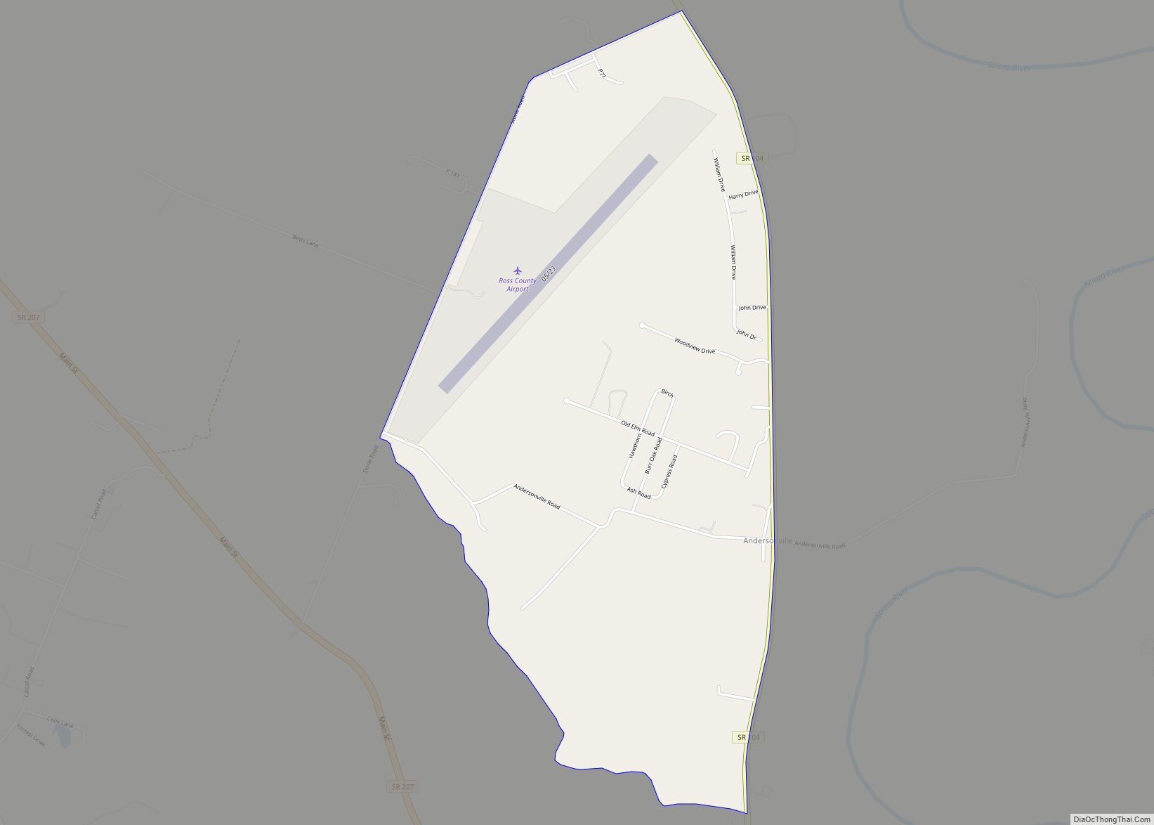
Andersonville is a census-designated place in Ross County, in the U.S. state of Ohio. Andersonville CDP overview: Name: Andersonville CDP LSAD Code: 57 LSAD Description: CDP (suffix) State: Ohio County: Ross County FIPS code: 3902022 Online Interactive Map Andersonville online map. Source: Basemap layers from Google Map, Open Street Map (OSM), Arcgisonline, Wmflabs. Boundary Data ... Read more
Amsterdam is a village in northwestern Jefferson County, Ohio, United States. The population was 436 at the 2020 census. The community was founded by Dutch immigrant David Johnson and named after the city of Amsterdam, Netherlands. It is part of the Weirton–Steubenville metropolitan area. Amsterdam village overview: Name: Amsterdam village LSAD Code: 47 LSAD Description: ... Read more
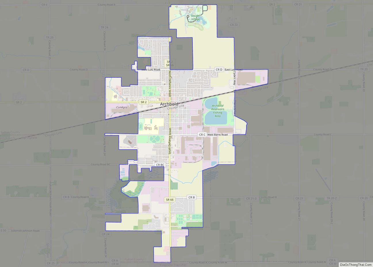
Archbold is a village in Fulton County, Ohio, United States. The population was 4,346 at the 2010 census. Archbold is home to Northwest State Community College. It was designated a Tree City USA by the National Arbor Day Foundation in 1983. Archbold village overview: Name: Archbold village LSAD Code: 47 LSAD Description: village (suffix) State: ... Read more
