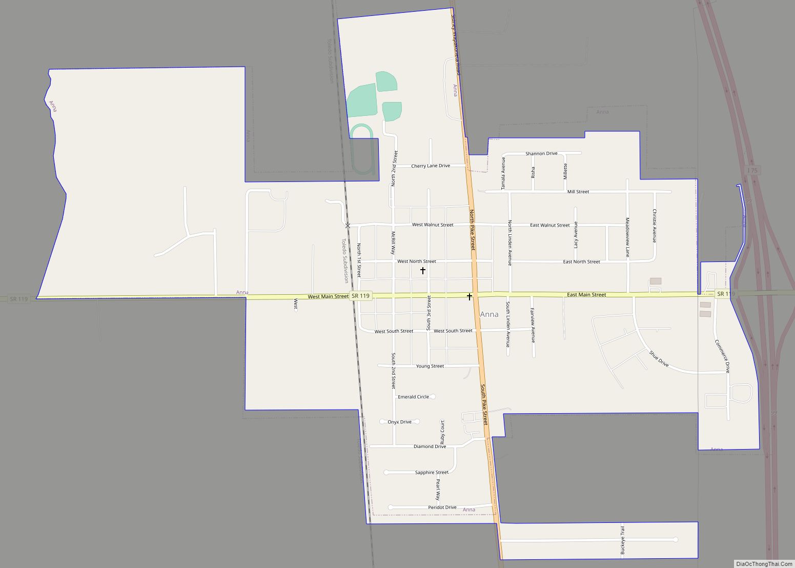
Anna is a village in Shelby County, Ohio, United States. The population was 1,567 at the 2010 census.
| Name: | Anna village |
|---|---|
| LSAD Code: | 47 |
| LSAD Description: | village (suffix) |
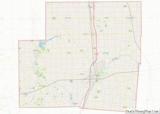
| State: | Ohio |
| County: | Shelby County |
| Elevation: | 1,033 ft (315 m) |
| Total Area: | 1.11 sq mi (2.87 km²) |
| Land Area: | 1.11 sq mi (2.87 km²) |
| Water Area: | 0.00 sq mi (0.00 km²) |
| Total Population: | 1,470 |
| Population Density: | 1,326.71/sq mi (512.17/km²) |
| ZIP code: | 45302 |
| FIPS code: | 3902092 |
| GNISfeature ID: | 1064331 |
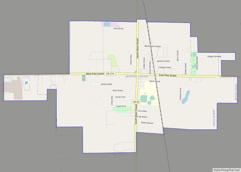
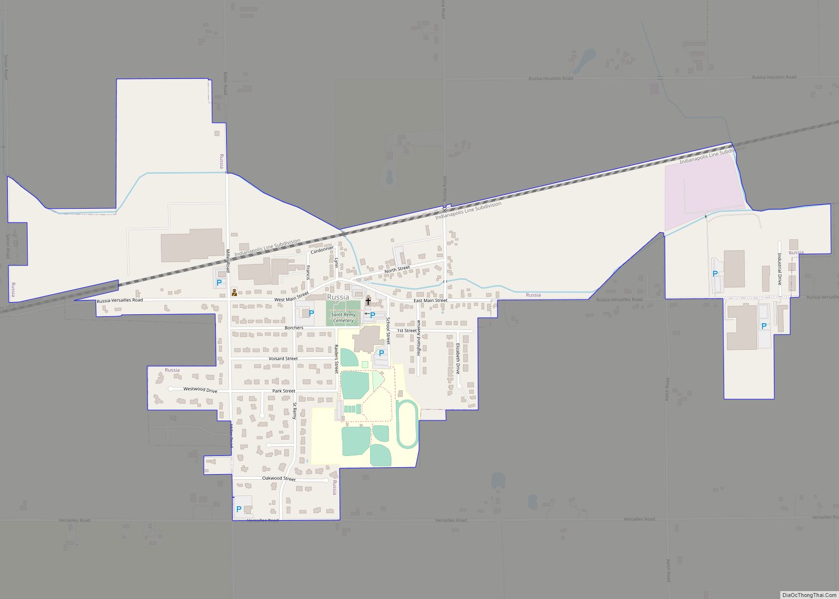
Online Interactive Map
Click on ![]() to view map in "full screen" mode.
to view map in "full screen" mode.
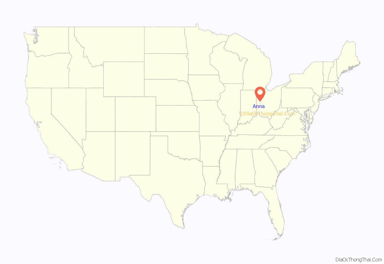
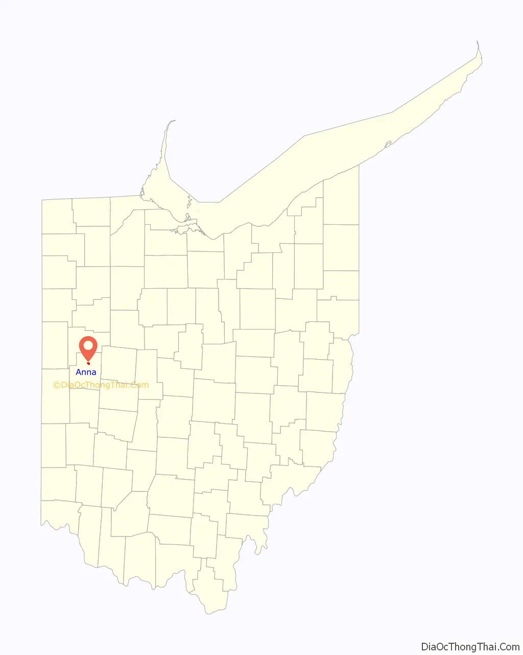
Anna location map. Where is Anna village?
History
Pre-historical period
The prehistoric Teays River ran through modern-day Anna about 2 million years ago. The Teays river deposited loose sediment on the Greenville fault line which created a major earthquake center.
Native American period
According to the Native Americans, Tecumseh tried to start his alliances in what is now Anna. Most native Shawnee and Miami tribes refused the offer. He supposedly put a curse on the land. The curse stated that the land would be ever plagued with the trembling of the earth.
Settlement
The first white settlement at Anna was made in the 1830s. Anna was platted in 1868, and named for Anna Thirkield. The village was incorporated in 1877.
1937 earthquakes
On March 9, 1937, the largest recorded earthquake in Ohio occurred where the high school and middle school now stand. It was measured at 5.4 on the Richter magnitude scale, while damage was at intensity VIII according to the Mercalli intensity scale. The shock was felt as far away as Chicago, Illinois, and Toronto, Ontario. The shaking followed a similar but somewhat weaker event that had happened a week earlier, on March 2. The Lutheran and Methodist Churches were heavily damaged; the Lutheran Church subsequently put metal braces in its attic to protect it from future earthquakes. The partially damaged school became a total loss for the town and had to be rebuilt. The town hall was so badly damaged that the upper story was condemned and has not been used since.
The Shelby County area has experienced at least 40 earthquakes since 1875.
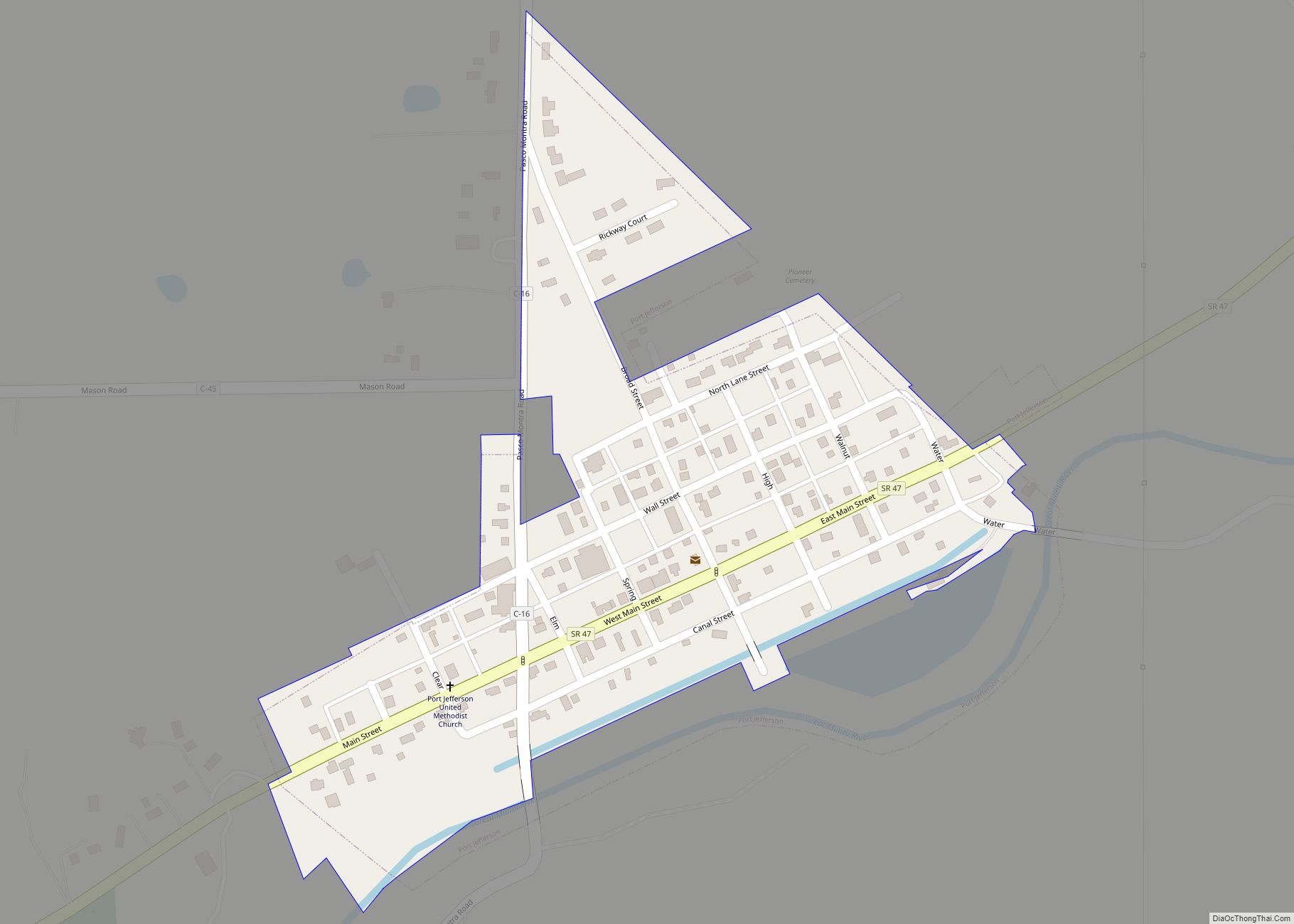
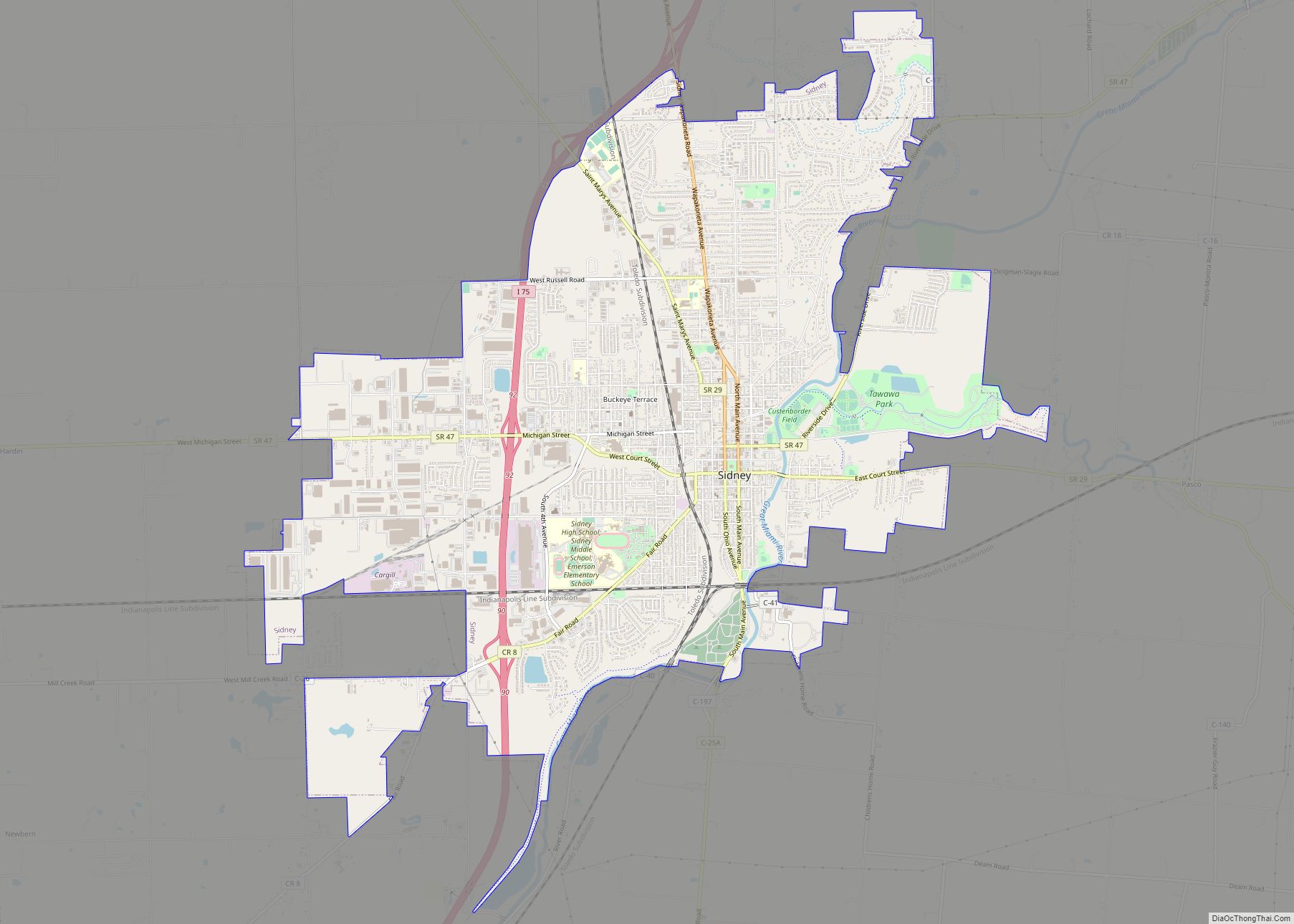
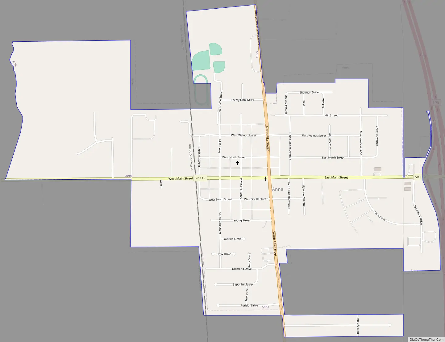
Anna Road Map
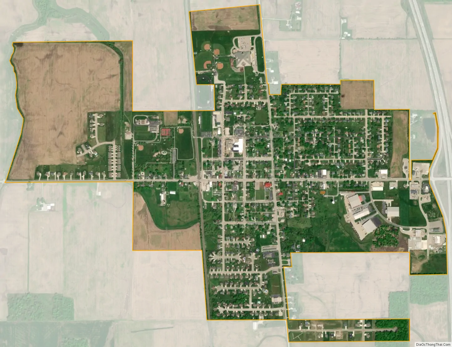
Anna city Satellite Map
Geography
Anna is located at 40°23′43″N 84°10′25″W / 40.39528°N 84.17361°W / 40.39528; -84.17361 (40.395352, −84.173744).
According to the United States Census Bureau, the village has a total area of 1.03 square miles (2.67 km), all land.
See also
Map of Ohio State and its subdivision:- Adams
- Allen
- Ashland
- Ashtabula
- Athens
- Auglaize
- Belmont
- Brown
- Butler
- Carroll
- Champaign
- Clark
- Clermont
- Clinton
- Columbiana
- Coshocton
- Crawford
- Cuyahoga
- Darke
- Defiance
- Delaware
- Erie
- Fairfield
- Fayette
- Franklin
- Fulton
- Gallia
- Geauga
- Greene
- Guernsey
- Hamilton
- Hancock
- Hardin
- Harrison
- Henry
- Highland
- Hocking
- Holmes
- Huron
- Jackson
- Jefferson
- Knox
- Lake
- Lake Erie
- Lawrence
- Licking
- Logan
- Lorain
- Lucas
- Madison
- Mahoning
- Marion
- Medina
- Meigs
- Mercer
- Miami
- Monroe
- Montgomery
- Morgan
- Morrow
- Muskingum
- Noble
- Ottawa
- Paulding
- Perry
- Pickaway
- Pike
- Portage
- Preble
- Putnam
- Richland
- Ross
- Sandusky
- Scioto
- Seneca
- Shelby
- Stark
- Summit
- Trumbull
- Tuscarawas
- Union
- Van Wert
- Vinton
- Warren
- Washington
- Wayne
- Williams
- Wood
- Wyandot
- Alabama
- Alaska
- Arizona
- Arkansas
- California
- Colorado
- Connecticut
- Delaware
- District of Columbia
- Florida
- Georgia
- Hawaii
- Idaho
- Illinois
- Indiana
- Iowa
- Kansas
- Kentucky
- Louisiana
- Maine
- Maryland
- Massachusetts
- Michigan
- Minnesota
- Mississippi
- Missouri
- Montana
- Nebraska
- Nevada
- New Hampshire
- New Jersey
- New Mexico
- New York
- North Carolina
- North Dakota
- Ohio
- Oklahoma
- Oregon
- Pennsylvania
- Rhode Island
- South Carolina
- South Dakota
- Tennessee
- Texas
- Utah
- Vermont
- Virginia
- Washington
- West Virginia
- Wisconsin
- Wyoming