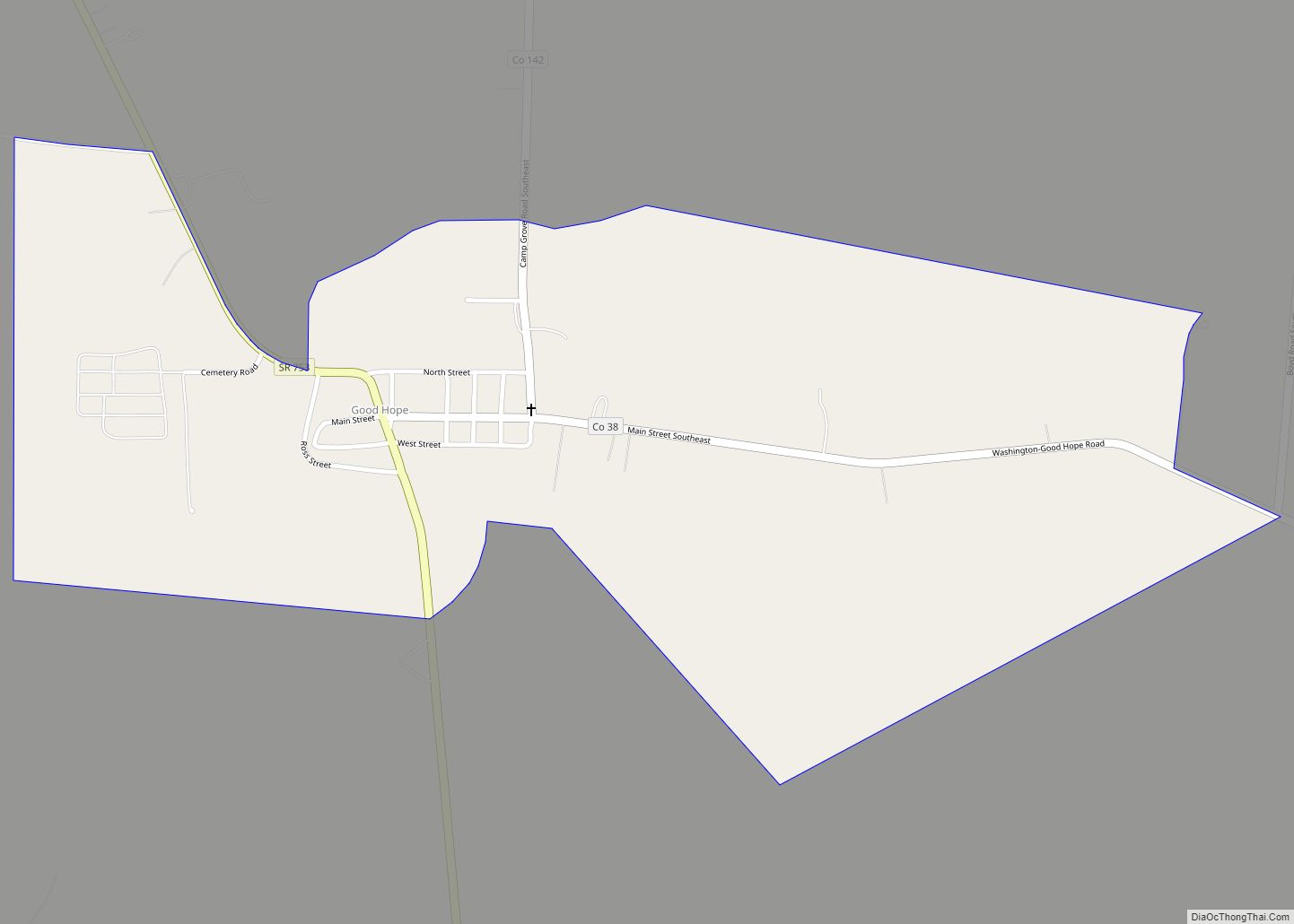
Good Hope is an unincorporated village in, and the seat of, Wayne Township, Fayette County, Ohio, United States. Good Hope CDP overview: Name: Good Hope CDP LSAD Code: 57 LSAD Description: CDP (suffix) State: Ohio County: Fayette County Elevation: 912 ft (278 m) Total Area: 0.75 sq mi (1.95 km²) Land Area: 0.75 sq mi (1.95 km²) Water Area: 0.00 sq mi (0.00 km²) Total Population: ... Read more
Ohio Cities and Places
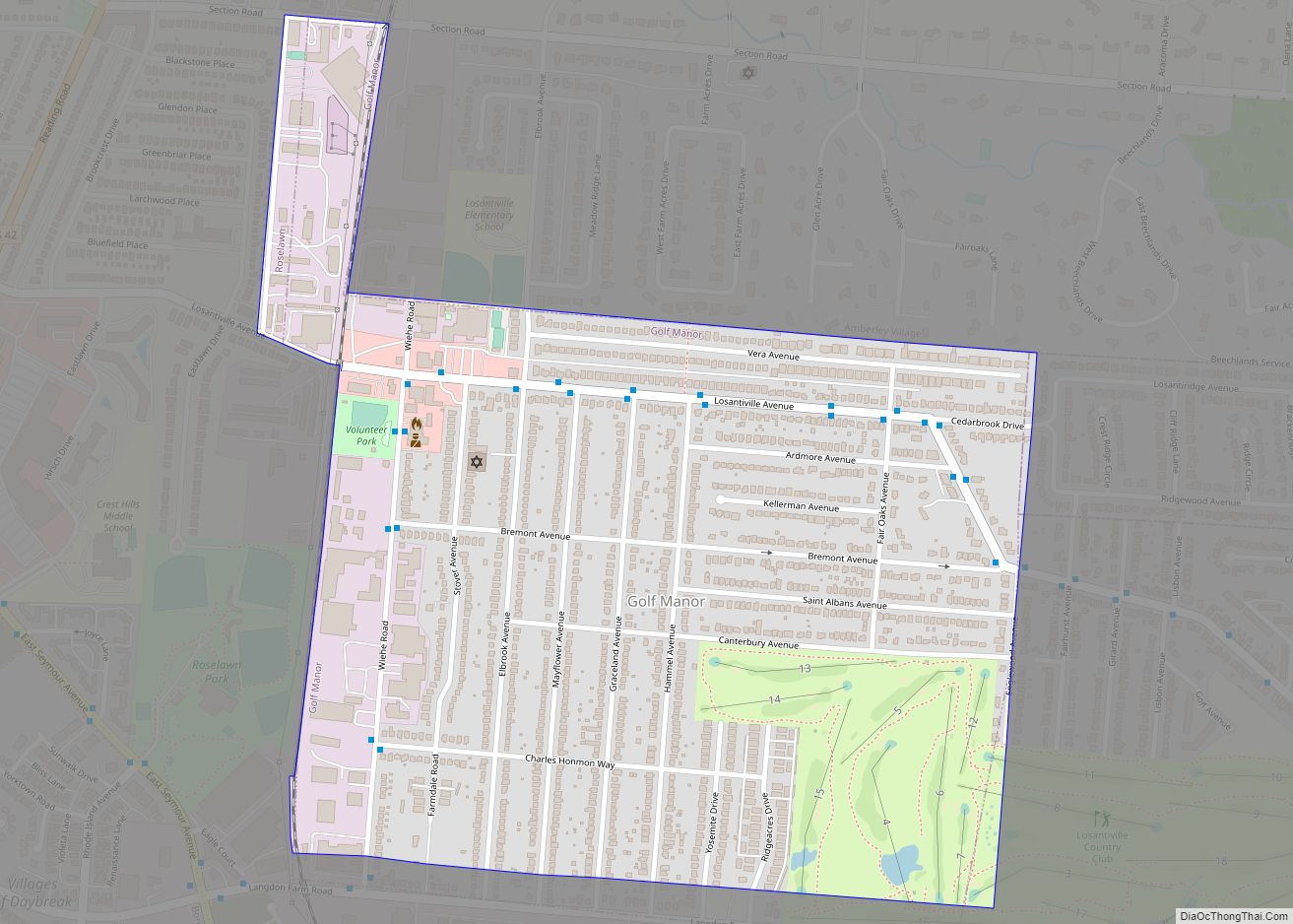
Golf Manor is a village in Hamilton County, Ohio, United States. It is almost completely surrounded by the Pleasant Ridge and Roselawn neighborhoods of Cincinnati. The population was 3,581 at the 2020 census. Golf Manor village overview: Name: Golf Manor village LSAD Code: 47 LSAD Description: village (suffix) State: Ohio County: Hamilton County Elevation: 659 ft ... Read more
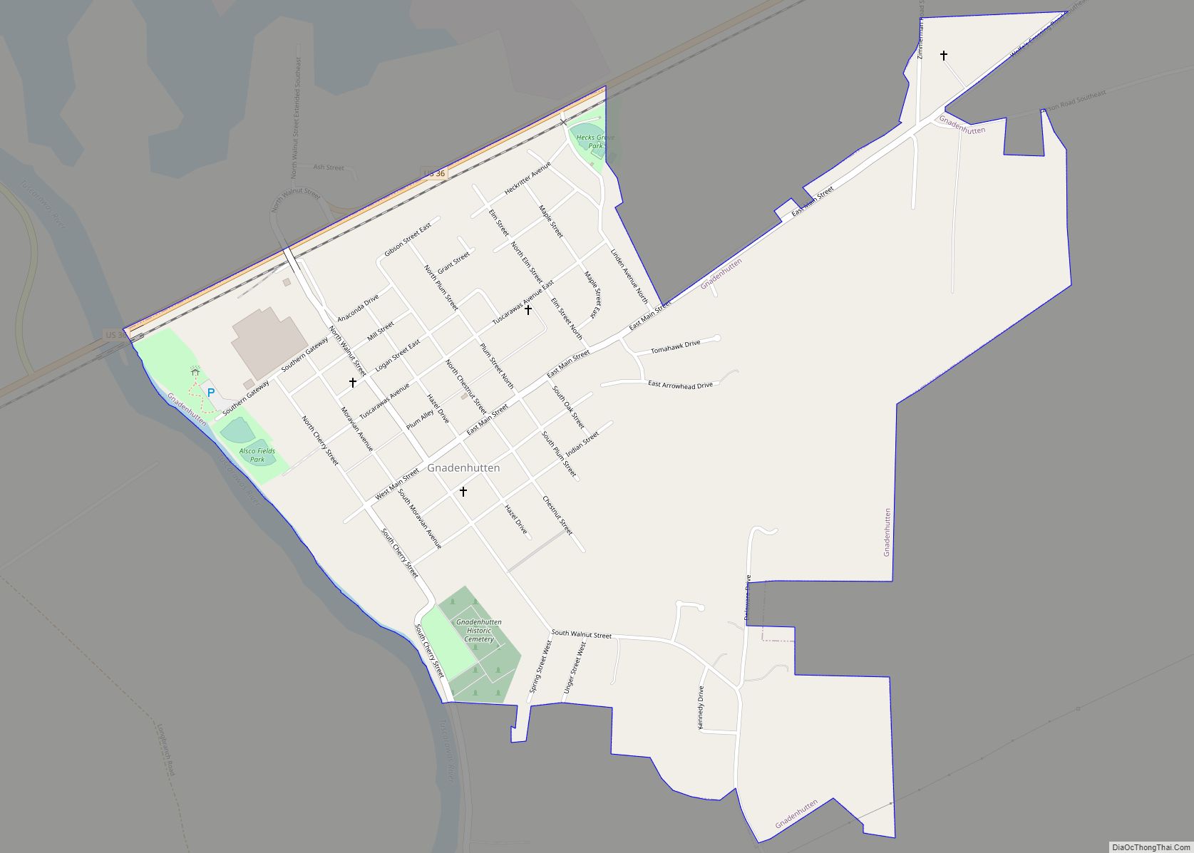
Gnadenhutten (/dʒəˈneɪdənhʌtən/ jə-NAY-dən-hut-ən, meaning “Huts of Grace” in German) is a village located on the Tuscarawas River in Tuscarawas County, Ohio, United States. The population was 1,240 at the 2020 census. It is Ohio’s oldest existing settlement, being founded by Moravian Christians in 1772 and was the site of the Gnadenhutten massacre during the American ... Read more
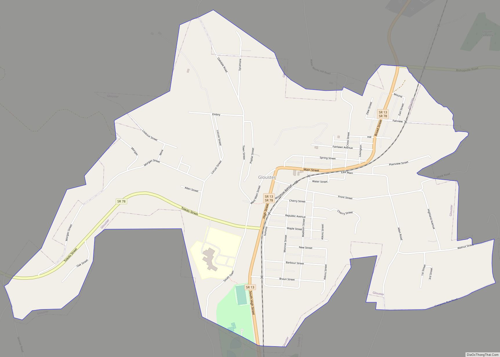
Glouster is a village in Trimble Township, Athens County, Ohio, United States. The population was 1,659 at the 2020 census. It is close to Burr Oak State Park. Glouster village overview: Name: Glouster village LSAD Code: 47 LSAD Description: village (suffix) State: Ohio County: Athens County Elevation: 679 ft (207 m) Total Area: 1.32 sq mi (3.43 km²) Land Area: ... Read more
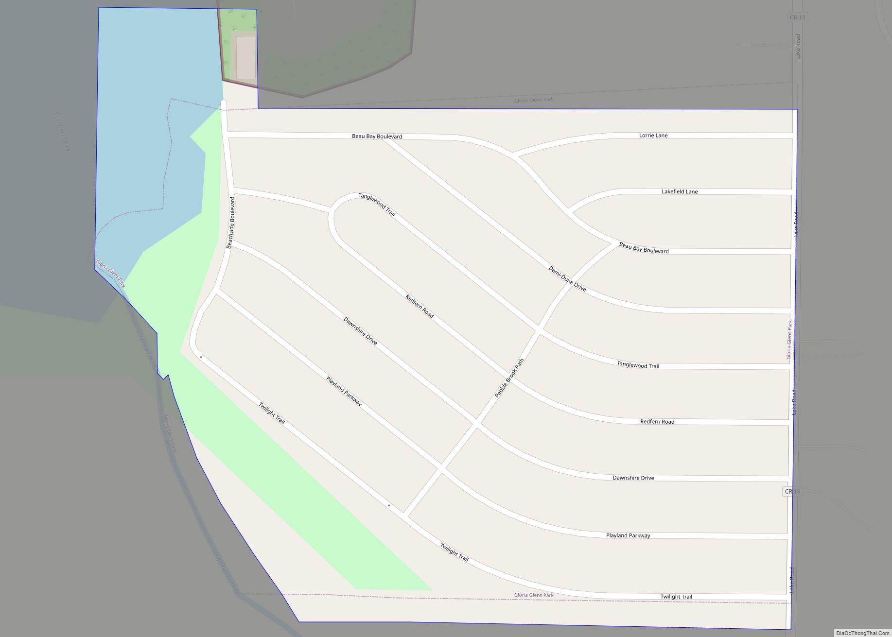
Gloria Glens Park is a village in Medina County, Ohio, United States. The population was 425 at the 2010 census. Gloria Glens Park village overview: Name: Gloria Glens Park village LSAD Code: 47 LSAD Description: village (suffix) State: Ohio County: Medina County Elevation: 1,010 ft (308 m) Total Area: 0.11 sq mi (0.29 km²) Land Area: 0.11 sq mi (0.28 km²) Water Area: ... Read more
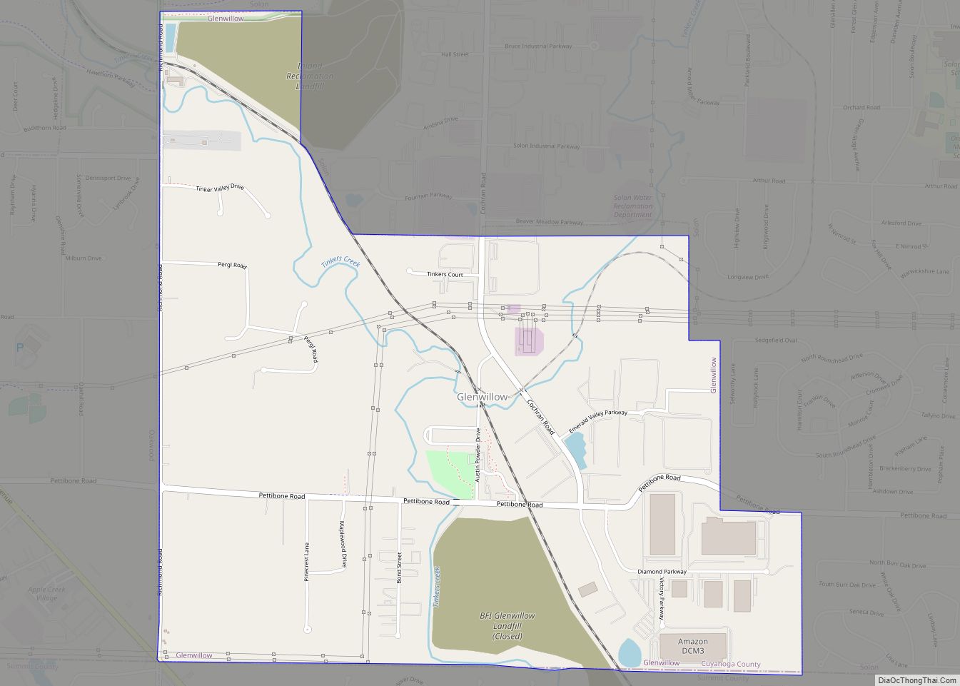
Glenwillow is a village in Cuyahoga County, Ohio, United States. The population was 923 at the 2010 census. Glenwillow village overview: Name: Glenwillow village LSAD Code: 47 LSAD Description: village (suffix) State: Ohio County: Cuyahoga County Elevation: 942 ft (287 m) Total Area: 2.83 sq mi (7.34 km²) Land Area: 2.77 sq mi (7.18 km²) Water Area: 0.06 sq mi (0.16 km²) Total Population: 994 Population ... Read more
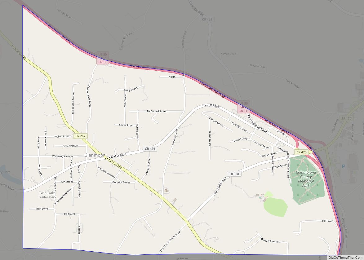
Glenmoor is an unincorporated community and census-designated place in southwestern St. Clair Township, Columbiana County, Ohio, United States. The population was 1,829 at the 2020 census. Glenmoor is located in the Salem micropolitan area and the greater Youngstown–Warren area. Glenmoor CDP overview: Name: Glenmoor CDP LSAD Code: 57 LSAD Description: CDP (suffix) State: Ohio County: ... Read more
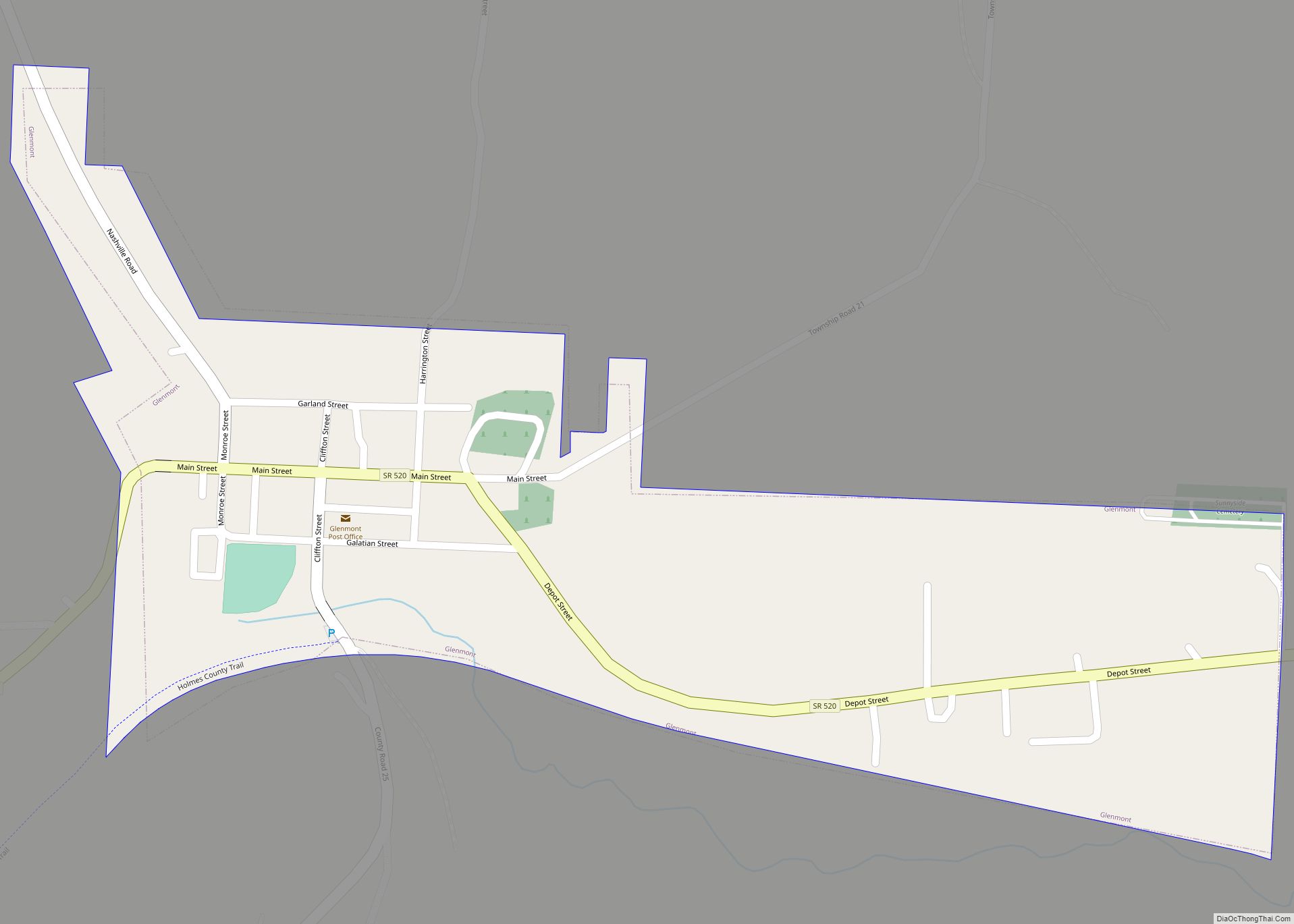
Glenmont is a village in Holmes County, Ohio, United States. The population was 272 at the 2010 census. Glenmont village overview: Name: Glenmont village LSAD Code: 47 LSAD Description: village (suffix) State: Ohio County: Holmes County Elevation: 879 ft (268 m) Total Area: 0.28 sq mi (0.71 km²) Land Area: 0.28 sq mi (0.71 km²) Water Area: 0.00 sq mi (0.00 km²) Total Population: 240 Population ... Read more
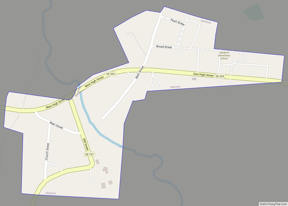
Glenford is a village in Perry County, Ohio, United States. The population was 165 at the 2020 census. Glenford village overview: Name: Glenford village LSAD Code: 47 LSAD Description: village (suffix) State: Ohio County: Perry County Elevation: 846 ft (258 m) Total Area: 0.12 sq mi (0.30 km²) Land Area: 0.11 sq mi (0.29 km²) Water Area: 0.00 sq mi (0.01 km²) Total Population: 165 Population ... Read more
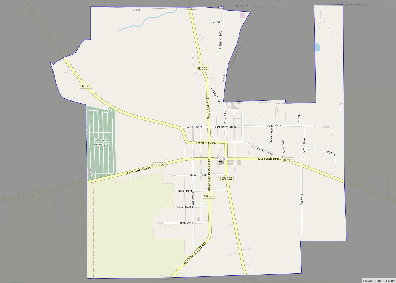
Gratis is a village in Preble County, Ohio, United States. The population was 881 at the 2010 census. It is part of the Dayton Metropolitan Statistical Area. Gratis village overview: Name: Gratis village LSAD Code: 47 LSAD Description: village (suffix) State: Ohio County: Preble County Elevation: 873 ft (266 m) Total Area: 0.97 sq mi (2.52 km²) Land Area: 0.97 sq mi ... Read more
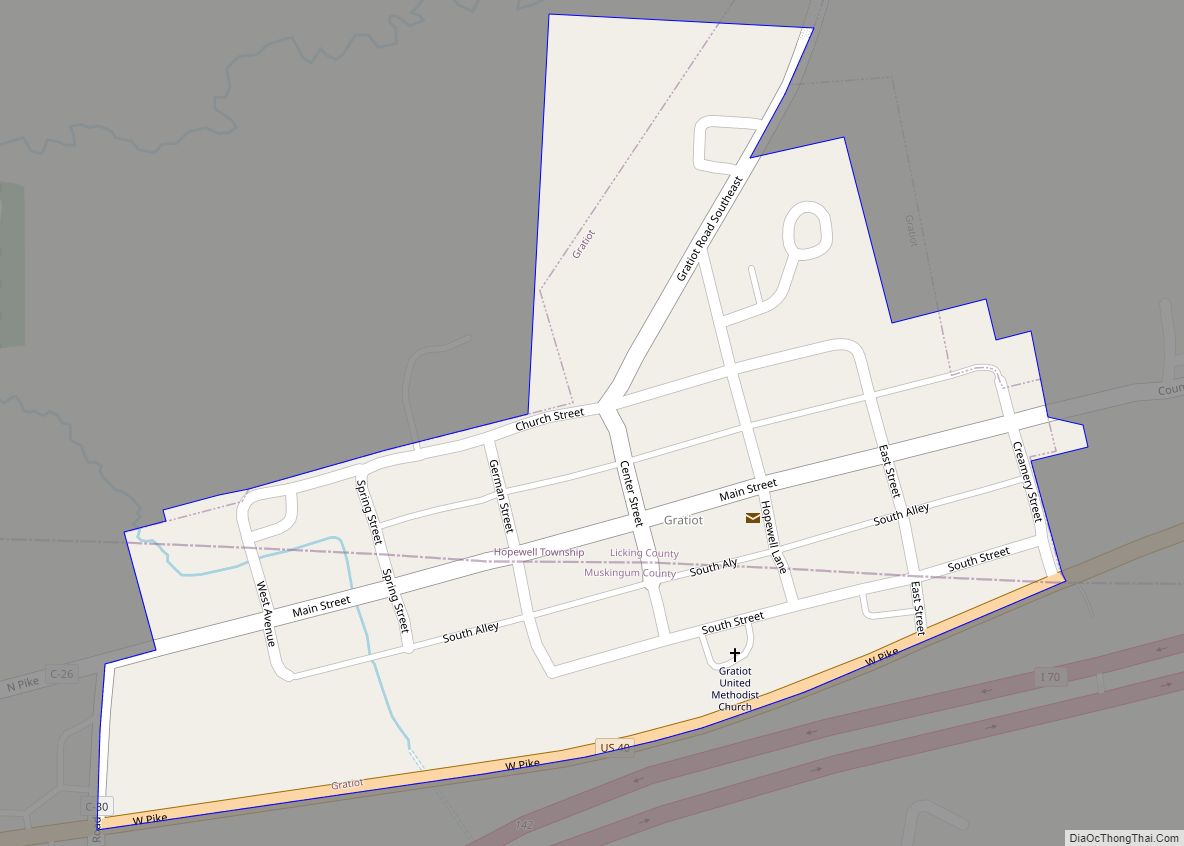
Gratiot (/ˈɡreɪʃɒt/ GRAY-shot) is a village in Licking and Muskingum counties in the U.S. state of Ohio. The population was 221 at the 2010 census. Gratiot village overview: Name: Gratiot village LSAD Code: 47 LSAD Description: village (suffix) State: Ohio County: Licking County, Muskingum County Elevation: 984 ft (300 m) Total Area: 0.13 sq mi (0.35 km²) Land Area: 0.13 sq mi ... Read more
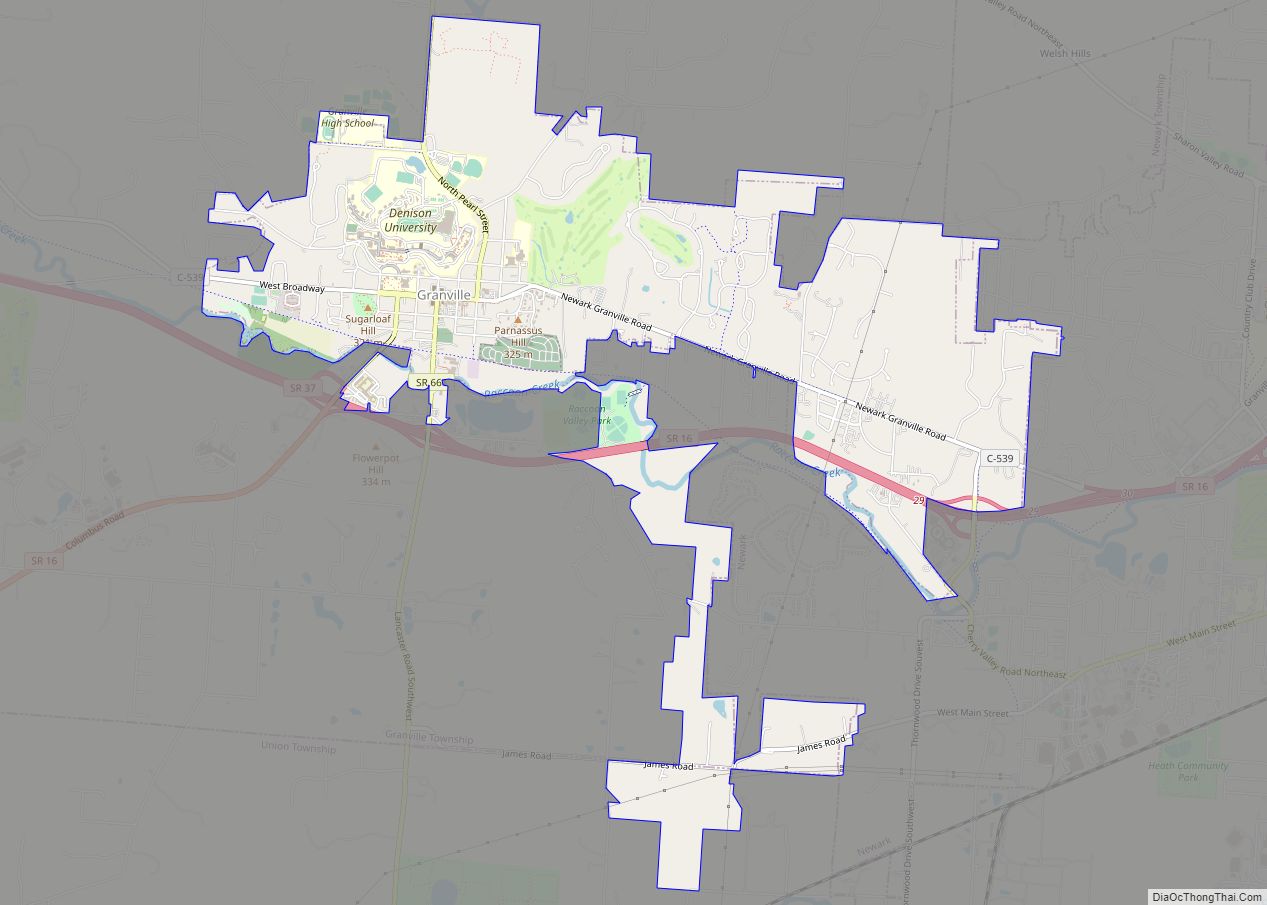
Granville is a village in Licking County, Ohio, United States. The population was 5,646 at the 2010 census. The village is located in a rural area of rolling hills in central Ohio. It is 35 miles (56 km) east of Columbus, the state capital, and 7 miles (11 km) west of Newark, the county seat. Granville is ... Read more
