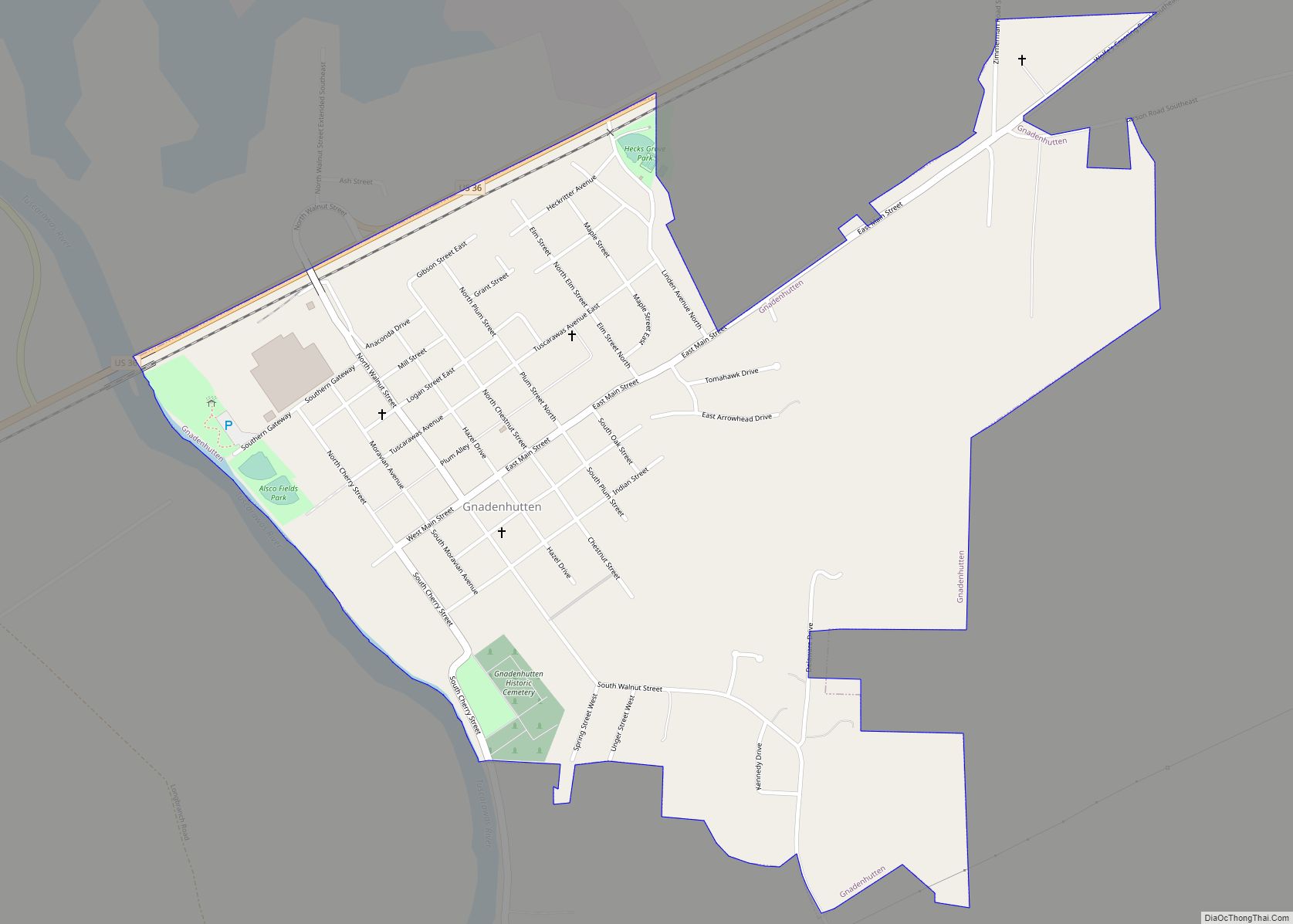
Gnadenhutten (/dʒəˈneɪdənhʌtən/ jə-NAY-dən-hut-ən, meaning “Huts of Grace” in German) is a village located on the Tuscarawas River in Tuscarawas County, Ohio, United States. The population was 1,240 at the 2020 census. It is Ohio’s oldest existing settlement, being founded by Moravian Christians in 1772 and was the site of the Gnadenhutten massacre during the American Revolutionary War. It is part of the New Philadelphia–Dover micropolitan area.
| Name: | Gnadenhutten village |
|---|---|
| LSAD Code: | 47 |
| LSAD Description: | village (suffix) |
| State: | Ohio |
| County: | Tuscarawas County |
| Elevation: | 837 ft (255 m) |
| Total Area: | 0.92 sq mi (2.37 km²) |
| Land Area: | 0.92 sq mi (2.37 km²) |
| Water Area: | 0.00 sq mi (0.00 km²) |
| Total Population: | 1,240 |
| Population Density: | 1,353.71/sq mi (522.82/km²) |
| ZIP code: | 44629 |
| Area code: | 740, 330 |
| FIPS code: | 3930702 |
| GNISfeature ID: | 1064736 |
Online Interactive Map
Click on ![]() to view map in "full screen" mode.
to view map in "full screen" mode.
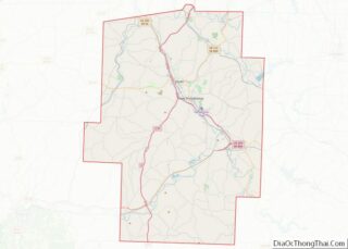
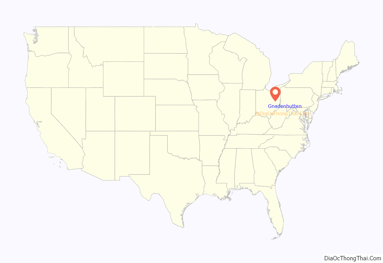
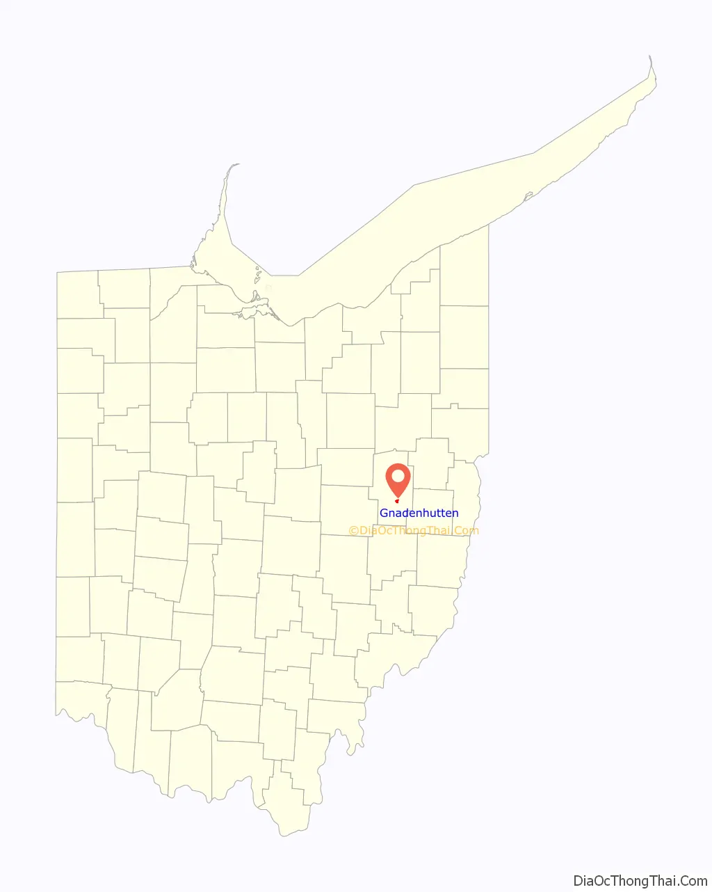
Gnadenhutten location map. Where is Gnadenhutten village?
History
Gnadenhutten, originally Gnadenhütten, was founded in October 1772 as the second settlement of German Americans and Lenape Indians affiliated with the Moravian Church. Tribes of Christian Lenni Lenape people had settled at Schoenbrunn nearby, founded months earlier by missionary David Zeisberger. On July 4, 1773, a baby boy was born to the Roth family, becoming the first white child known to be born in the Ohio territory. This community, originally led by the Christian Mohican chieftain Joshua (who died August 1 of the following year), had grown to about 200 persons by 1775.
As pacifists, they remained neutral during the American Revolution and subsequent Revolutionary War. However, the British and their Indian Wyandot and Delaware allies suspected that members of the Christian Gnadenhutten, Schoenbrunn, and Salem communities had provided aid to American patriots. As a result, the British forced the Lenape tribespeople in the region to the Upper Sandusky area of the Ohio territory. While the British detained Rev. Zeisberger at Fort Detroit, they allowed roughly 150 Lenape to return to their old town to gather the harvest and supplies stored there. However, Pennsylvania militiamen, led by David Williamson, following the murder of American settlers by other Indian tribes a few weeks earlier, came to the resettled town in March 1782, and tricked the Indians into giving up their weapons. Ninety-six innocent Lenape men, women, and children spent the night in song and prayer knowing they would be slaughtered the following morning.
On March 8, 1782, the Pennsylvanians committed the Gnadenhutten massacre and burned the approximately 60 cabins in the town. Only two boys escaped; the incident led to distrust between Native Americans and American settlers, and reprisals against American patriots in Native American custody.
Although three 4,000 acre tracts were reserved for Indians as an “act of indemnity”, John Ettwein petitioned Congress in 1783 and the area was then opened to European American settlers. John Heckewelder from Pennsylvania built the first house in 1798, and Moravians remain in the town today. Few Native Americans chose to live there and they gave up title in 1823 after the Moravians had made many improvements.
Gnadenhutten was on a major wagon road crossing the Tuscarawas River. The first Ohio Canal was dug nearby in 1825-1830, providing access to markets as well as further immigrants via Cleveland. A railroad linked to the area in 1853, further improving market access and allowing industrial development. A flood in 1915 destroyed the canal, which was not rebuilt as other means of transportation had superseded it.
Gnadenhutten erected a monument to the martyrs of the March 8, 1782 massacre during the centennial of its founding, and in 1963 established a museum interpreting it and other aspects of the town’s history (including the results of 1970 excavations, and having rebuilt the Mission House and Cooper shop, and erected a mound containing the martyrs’ graves). Various Native American and First Nations people gathered at the site in 1988 to dedicate a peace tree. The State of Ohio erected a memorial marker in 2003, calling the event a “day of shame”; it had erected another historical marker shortly before the town’s entrance in 1979.
The Moravians rebuilt their church in 1903 and dedicated it as a memorial to John Heckewelder. The village also has a Masonic Temple (built 1855 and rebuilt), Methodist church (built circa 1910), as well as a Church of Christ and Full Gospel Pentecostal Church on the outskirts. Its current library was erected in 1942.
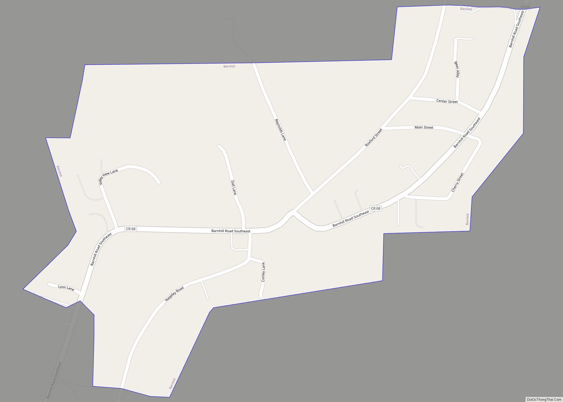
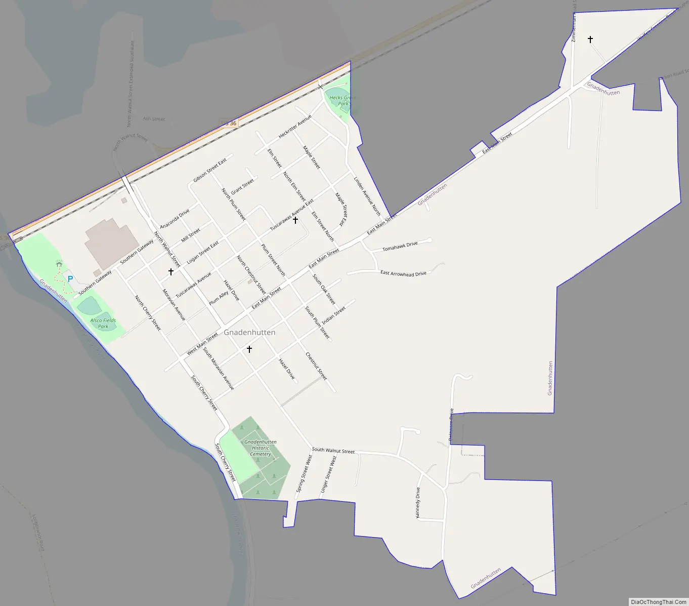
Gnadenhutten Road Map
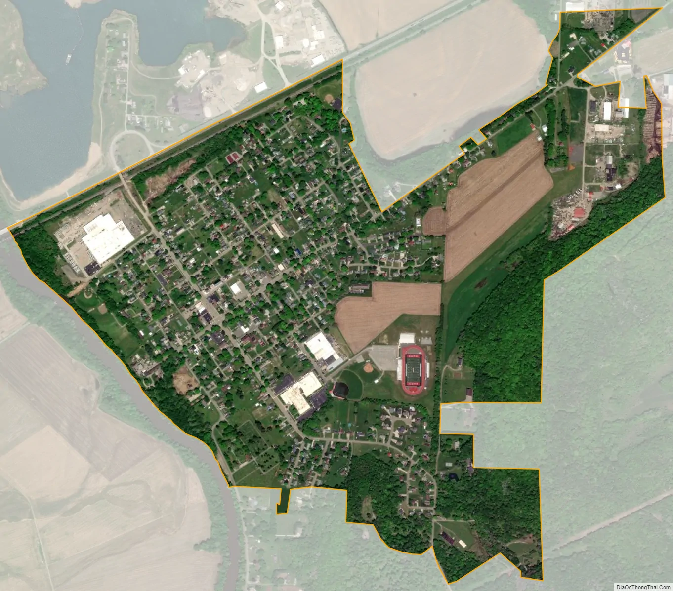
Gnadenhutten city Satellite Map
Geography
Gnadenhutten is located at 40°21′39″N 81°25′54″W / 40.36083°N 81.43167°W / 40.36083; -81.43167 (40.360815, -81.431679). According to the United States Census Bureau, the village has a total area of 0.97 square miles (2.51 km), all land.
See also
Map of Ohio State and its subdivision:- Adams
- Allen
- Ashland
- Ashtabula
- Athens
- Auglaize
- Belmont
- Brown
- Butler
- Carroll
- Champaign
- Clark
- Clermont
- Clinton
- Columbiana
- Coshocton
- Crawford
- Cuyahoga
- Darke
- Defiance
- Delaware
- Erie
- Fairfield
- Fayette
- Franklin
- Fulton
- Gallia
- Geauga
- Greene
- Guernsey
- Hamilton
- Hancock
- Hardin
- Harrison
- Henry
- Highland
- Hocking
- Holmes
- Huron
- Jackson
- Jefferson
- Knox
- Lake
- Lake Erie
- Lawrence
- Licking
- Logan
- Lorain
- Lucas
- Madison
- Mahoning
- Marion
- Medina
- Meigs
- Mercer
- Miami
- Monroe
- Montgomery
- Morgan
- Morrow
- Muskingum
- Noble
- Ottawa
- Paulding
- Perry
- Pickaway
- Pike
- Portage
- Preble
- Putnam
- Richland
- Ross
- Sandusky
- Scioto
- Seneca
- Shelby
- Stark
- Summit
- Trumbull
- Tuscarawas
- Union
- Van Wert
- Vinton
- Warren
- Washington
- Wayne
- Williams
- Wood
- Wyandot
- Alabama
- Alaska
- Arizona
- Arkansas
- California
- Colorado
- Connecticut
- Delaware
- District of Columbia
- Florida
- Georgia
- Hawaii
- Idaho
- Illinois
- Indiana
- Iowa
- Kansas
- Kentucky
- Louisiana
- Maine
- Maryland
- Massachusetts
- Michigan
- Minnesota
- Mississippi
- Missouri
- Montana
- Nebraska
- Nevada
- New Hampshire
- New Jersey
- New Mexico
- New York
- North Carolina
- North Dakota
- Ohio
- Oklahoma
- Oregon
- Pennsylvania
- Rhode Island
- South Carolina
- South Dakota
- Tennessee
- Texas
- Utah
- Vermont
- Virginia
- Washington
- West Virginia
- Wisconsin
- Wyoming