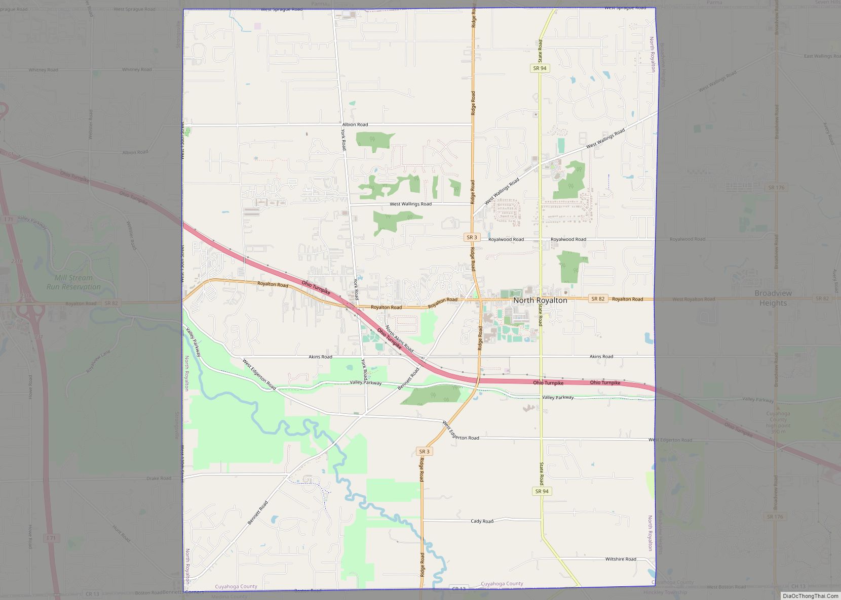
North Royalton is a city in Cuyahoga County, Ohio, United States. It is a suburb of Cleveland. The population was 31,322 as of the 2020 Census. Originally incorporated as a village in 1927, it achieved the status of city in 1961. North Royalton city overview: Name: North Royalton city LSAD Code: 25 LSAD Description: city ... Read more
Ohio Cities and Places
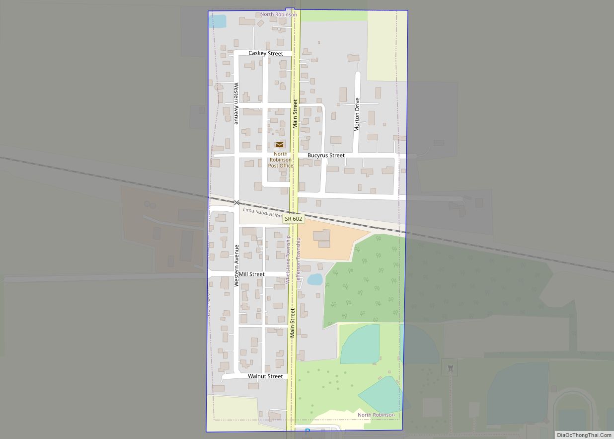
North Robinson is a village in Crawford County, Ohio, United States. The population was 205 at the 2010 census. North Robinson village overview: Name: North Robinson village LSAD Code: 47 LSAD Description: village (suffix) State: Ohio County: Crawford County Elevation: 1,073 ft (327 m) Total Area: 0.11 sq mi (0.28 km²) Land Area: 0.11 sq mi (0.28 km²) Water Area: 0.00 sq mi (0.00 km²) Total ... Read more
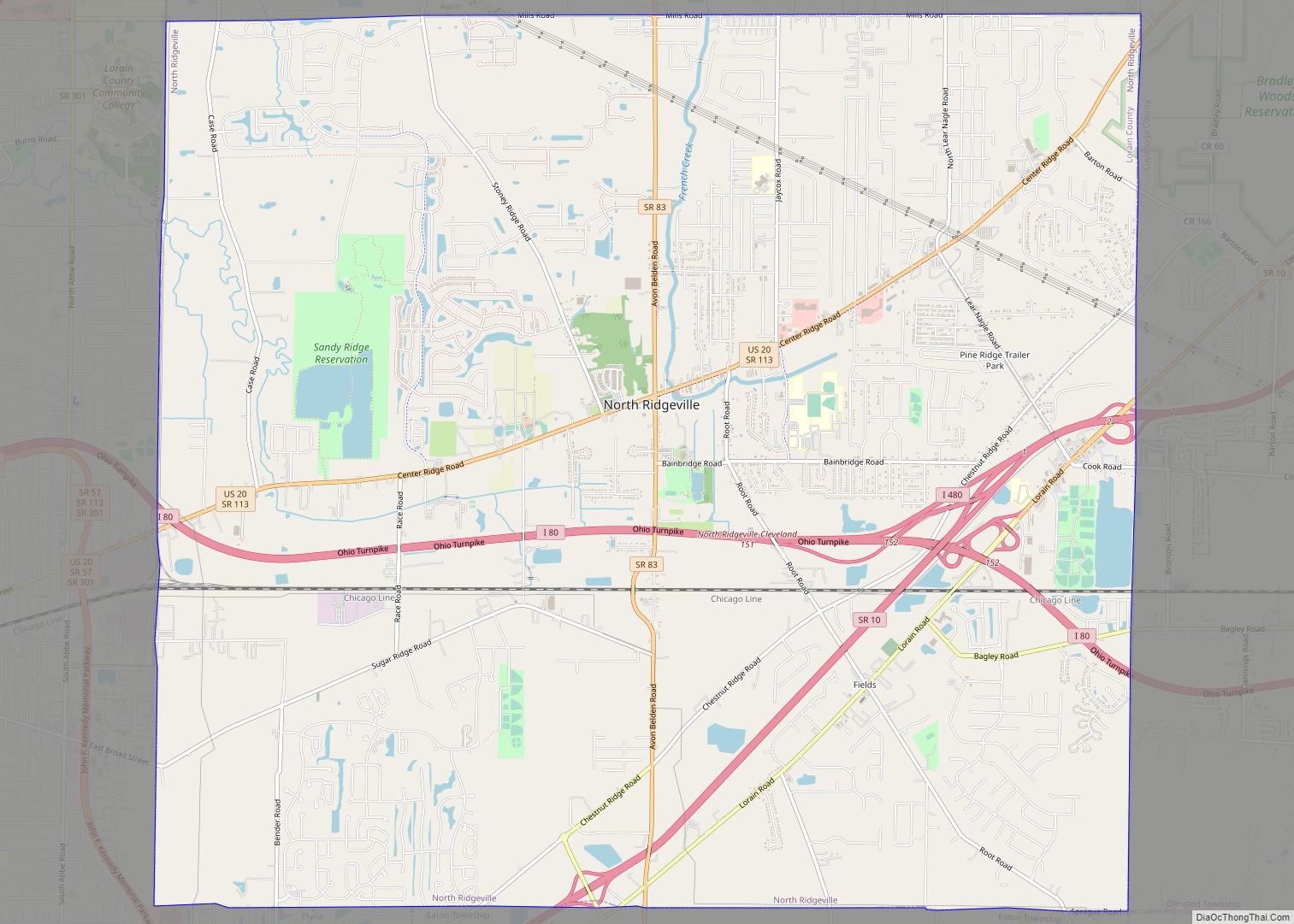
North Ridgeville is a city located along the eastern border of Lorain County, Ohio, United States. The city’s population was 35,280 as of the 2020 census. A part of the Cleveland metropolitan area, North Ridgeville is the fastest-growing city in northern Ohio. It has been ranked the 13th safest city in the United States and ... Read more
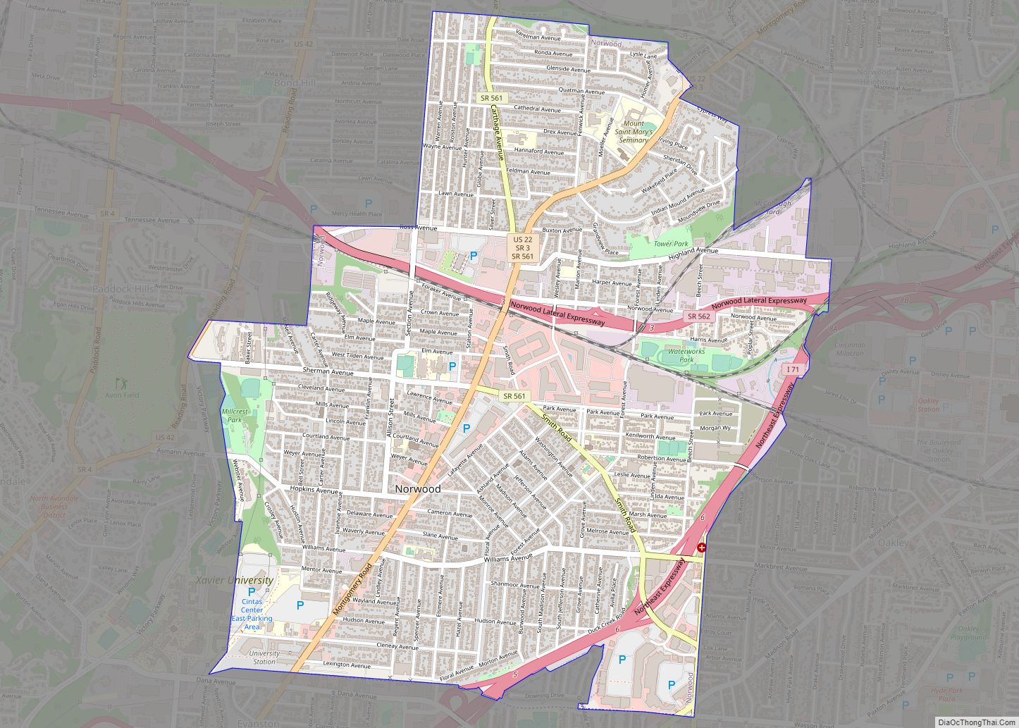
Norwood is the third most populous city in Hamilton County, Ohio, United States, and an enclave of the larger city of Cincinnati. The population was 19,207 at the 2010 census. Originally settled as an early suburb of Cincinnati in the wooded countryside north of the city, the area is characterized by older homes and tree-lined ... Read more
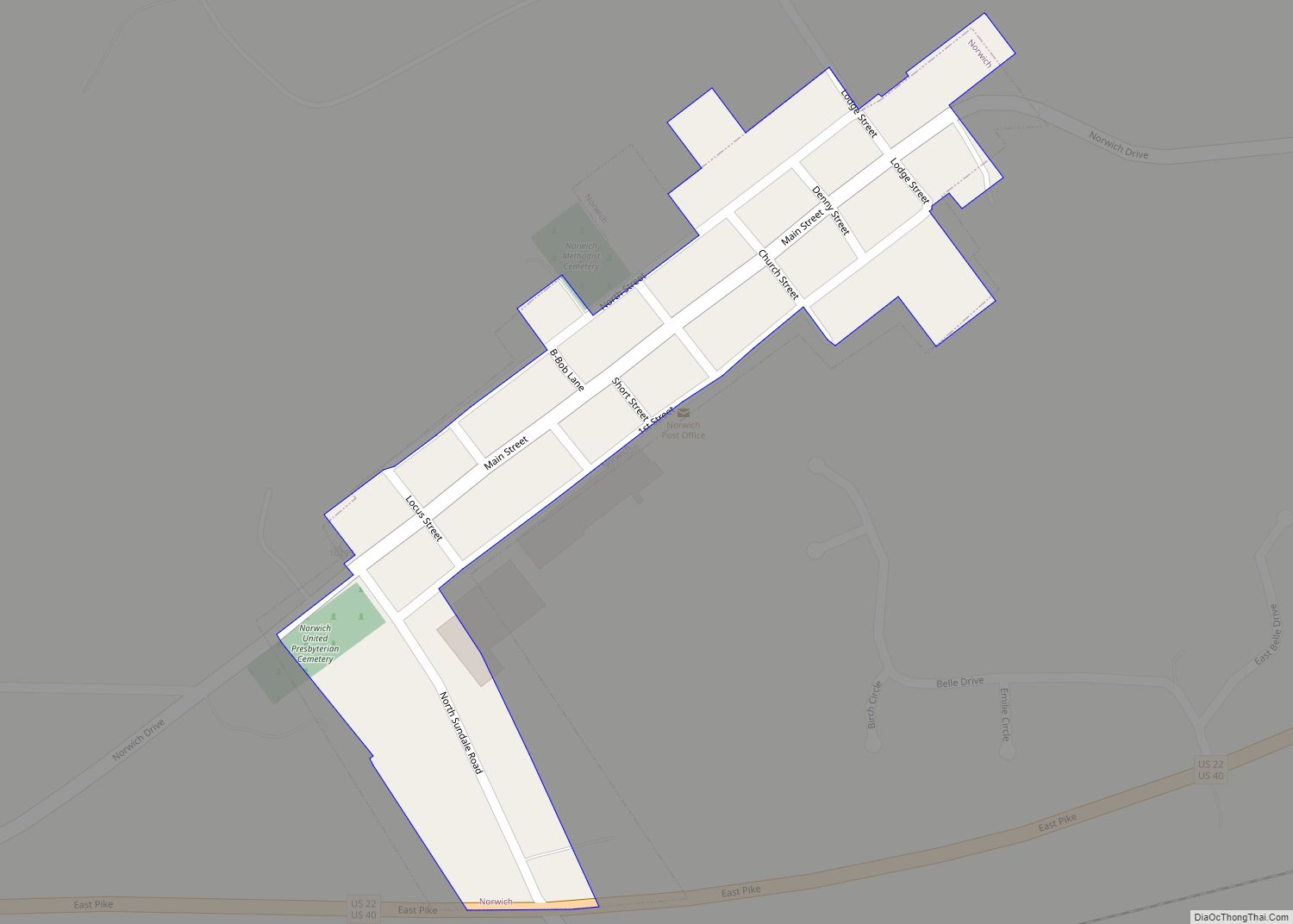
Norwich is a village in Muskingum County, Ohio, United States. The population was 87 at the 2020 census. It is part of the Zanesville micropolitan area. Norwich village overview: Name: Norwich village LSAD Code: 47 LSAD Description: village (suffix) State: Ohio County: Muskingum County Elevation: 968 ft (295 m) Total Area: 0.08 sq mi (0.20 km²) Land Area: 0.08 sq mi (0.20 km²) ... Read more
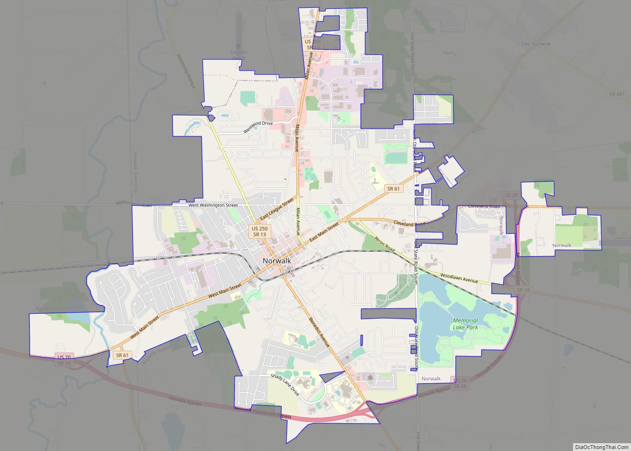
Norwalk is a city in the U.S. state of Ohio and the county seat of Huron County. The population was 17,012 at the 2010 census. The city is the center of the Norwalk Micropolitan Statistical Area and part of the Cleveland–Akron–Canton Combined Statistical Area. Norwalk is located approximately 10 miles (16 km) south of Lake Erie, ... Read more
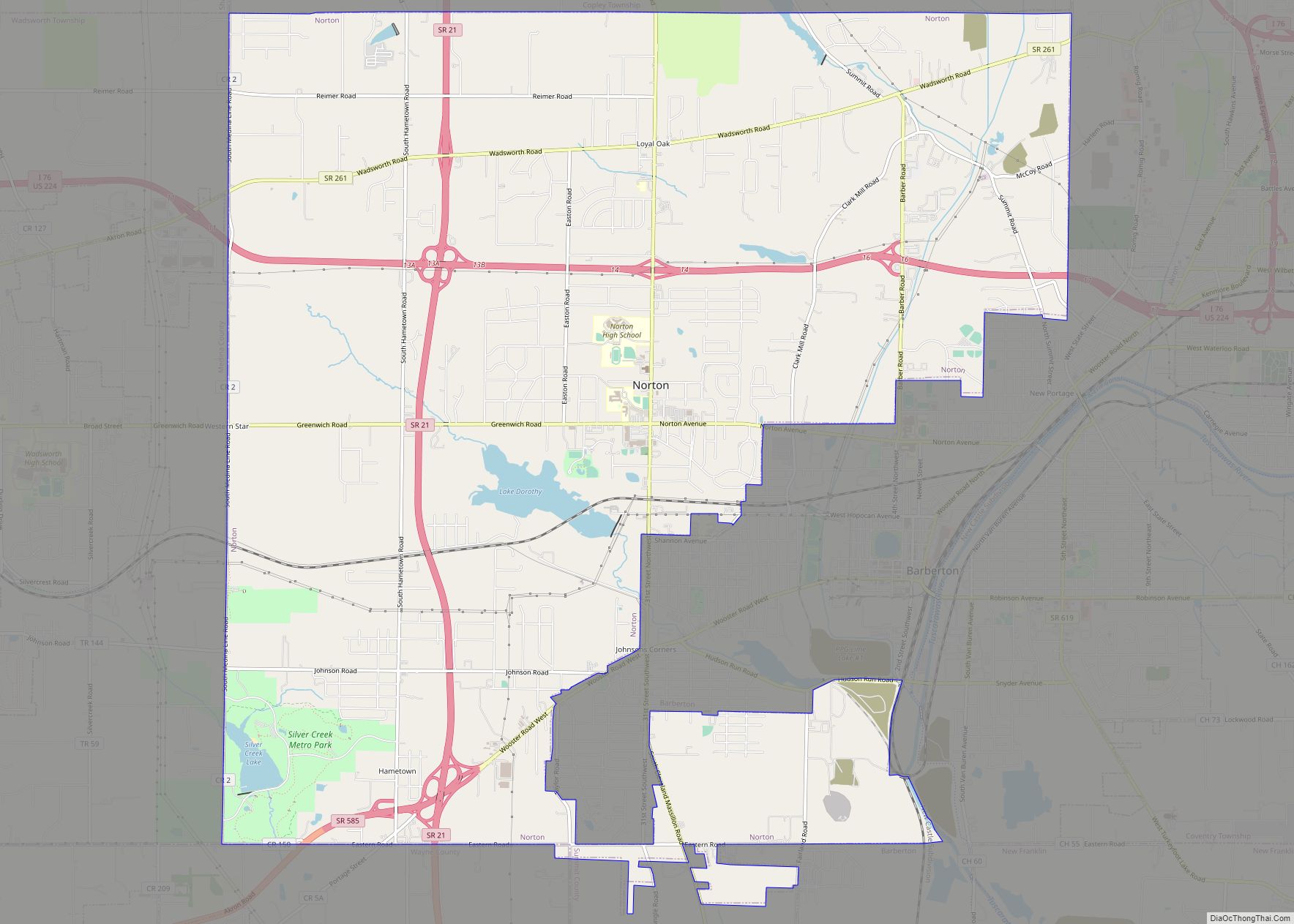
Norton is a city in southwestern Summit County, Ohio, United States, with a 4.4-acre (1.8 ha) district extending into Wayne County. The population was 11,673 at the 2020 census. It is part of the Akron metropolitan area. Norton city overview: Name: Norton city LSAD Code: 25 LSAD Description: city (suffix) State: Ohio County: Summit County, Wayne ... Read more
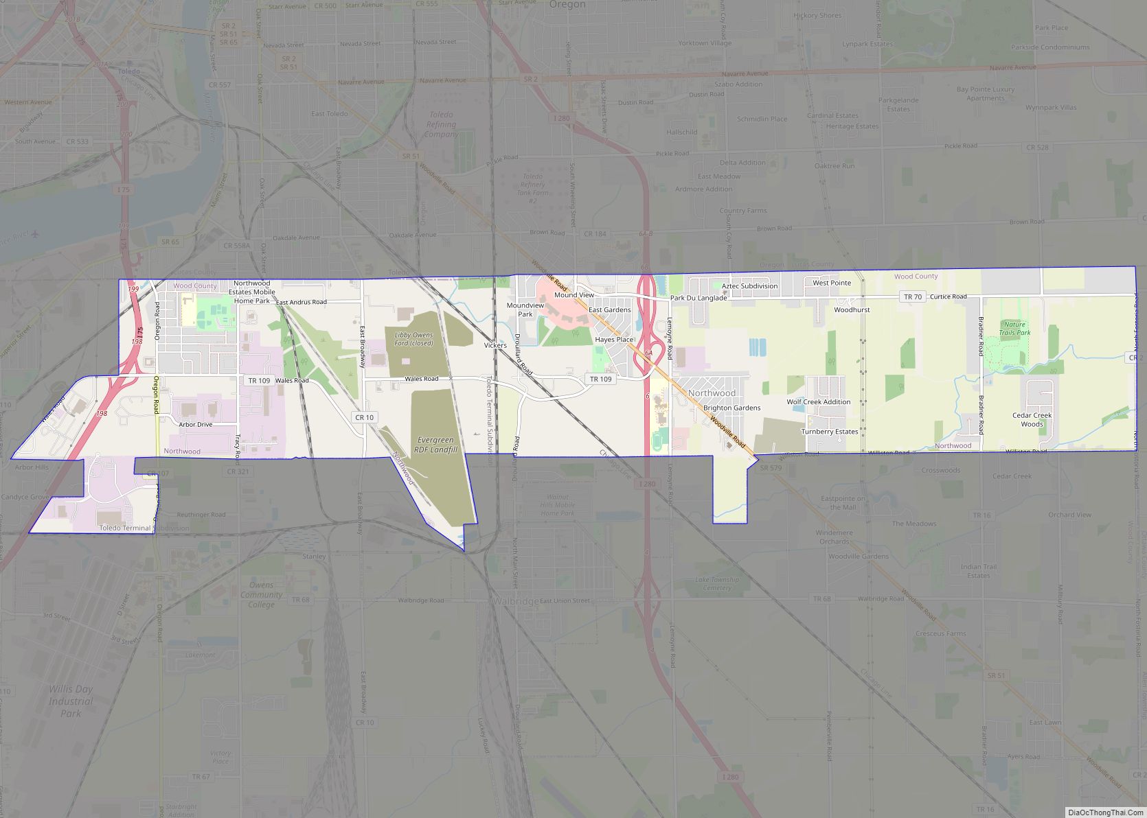
Northwood is a city and eastern suburb in Wood County, Ohio, United States, within the Toledo metropolitan area. The population was 5,265 at the 2010 census. Northwood city overview: Name: Northwood city LSAD Code: 25 LSAD Description: city (suffix) State: Ohio County: Wood County Elevation: 614 ft (187 m) Total Area: 8.57 sq mi (22.20 km²) Land Area: 8.56 sq mi (22.16 km²) ... Read more
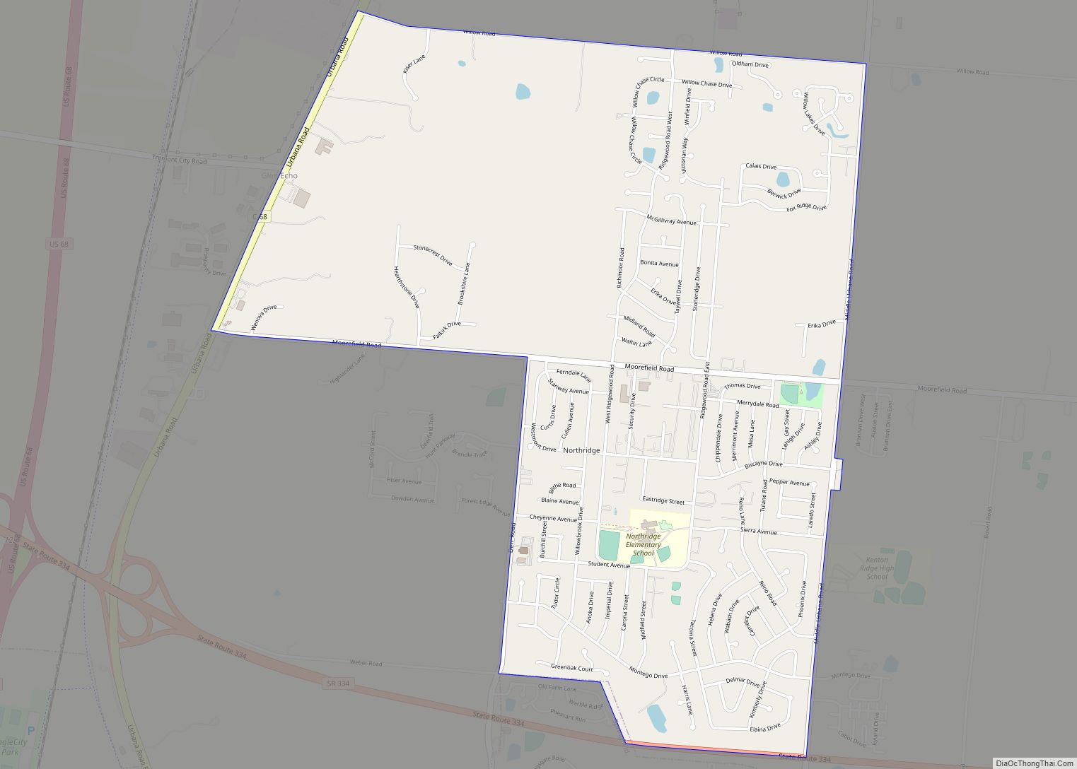
Northridge is an unincorporated community in Harrison Township in Montgomery County, Ohio, United States. It was delineated as a census-designated place (CDP) for the 2000 census, at which time its population was 8,487. It was not delineated as a CDP for the 2010 census. It is located directly north of the city of Dayton and ... Read more
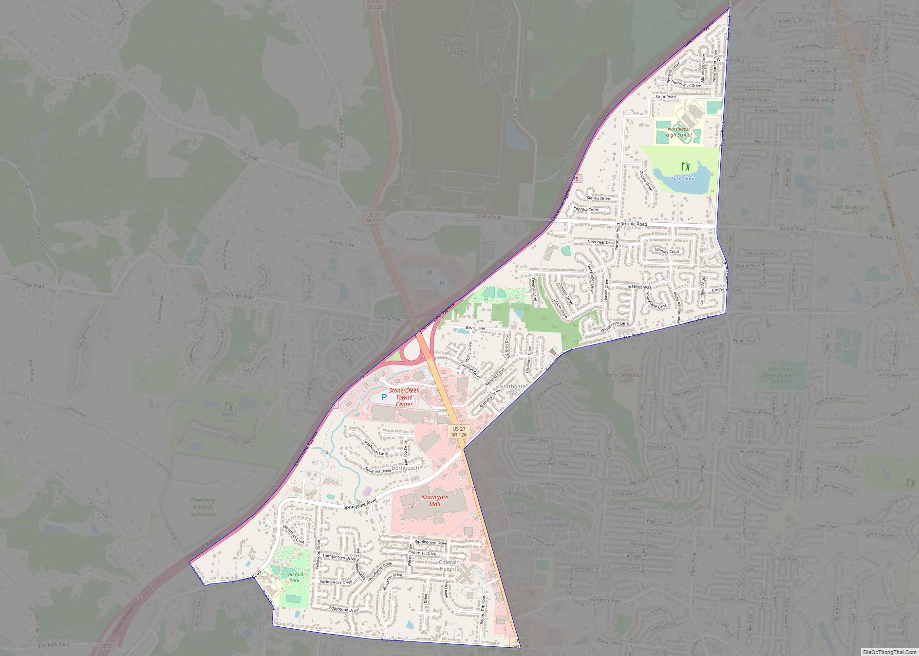
Northgate is a census-designated place (CDP) in Hamilton County, Ohio, United States. The population was 7,277 at the 2020 census. Northgate Mall serves as a shopping hub for the west side of Cincinnati. Northgate CDP overview: Name: Northgate CDP LSAD Code: 57 LSAD Description: CDP (suffix) State: Ohio County: Hamilton County Elevation: 883 ft (269 m) Total ... Read more
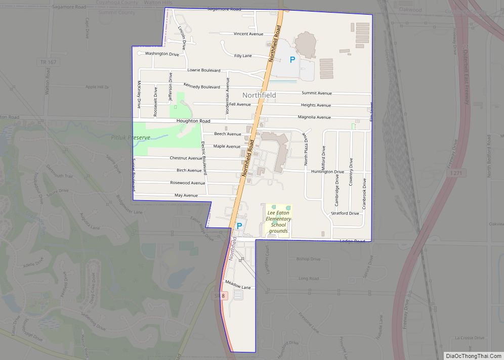
Northfield is a village in northern Summit County, Ohio, United States. The population was 3,541 at the 2020 census. It is part of the Akron metropolitan area. Northfield village overview: Name: Northfield village LSAD Code: 47 LSAD Description: village (suffix) State: Ohio County: Summit County Elevation: 1,050 ft (320 m) Total Area: 1.05 sq mi (2.72 km²) Land Area: 1.05 sq mi ... Read more
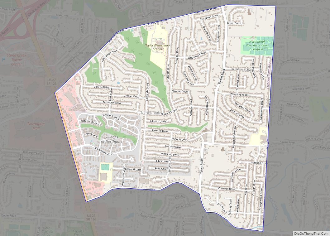
Northbrook is a census-designated place (CDP) in Hamilton County, Ohio, United States. The population was 10,912 at the 2020 census. Northbrook CDP overview: Name: Northbrook CDP LSAD Code: 57 LSAD Description: CDP (suffix) State: Ohio County: Hamilton County Elevation: 830 ft (253 m) Total Area: 1.93 sq mi (5.00 km²) Land Area: 1.93 sq mi (5.00 km²) Water Area: 0.00 sq mi (0.00 km²) Total Population: ... Read more
