Norwalk is a city in the U.S. state of Ohio and the county seat of Huron County. The population was 17,012 at the 2010 census. The city is the center of the Norwalk Micropolitan Statistical Area and part of the Cleveland–Akron–Canton Combined Statistical Area. Norwalk is located approximately 10 miles (16 km) south of Lake Erie, 51 miles (82 km) west/southwest of Cleveland, 59 miles (95 km) southeast of Toledo, and 58 miles (93 km) west/northwest of Akron.
| Name: | Norwalk city |
|---|---|
| LSAD Code: | 25 |
| LSAD Description: | city (suffix) |
| State: | Ohio |
| County: | Huron County |
| Founded: | 1817 |
| Elevation: | 719 ft (219 m) |
| Total Area: | 9.15 sq mi (23.69 km²) |
| Land Area: | 8.87 sq mi (22.96 km²) |
| Water Area: | 0.28 sq mi (0.73 km²) |
| Total Population: | 17,068 |
| Population Density: | 1,925.32/sq mi (743.36/km²) |
| ZIP code: | 44857 |
| Area code: | 419, 567 |
| FIPS code: | 3957302 |
| GNISfeature ID: | 1044003 |
| Website: | http://www.norwalkoh.com/ |
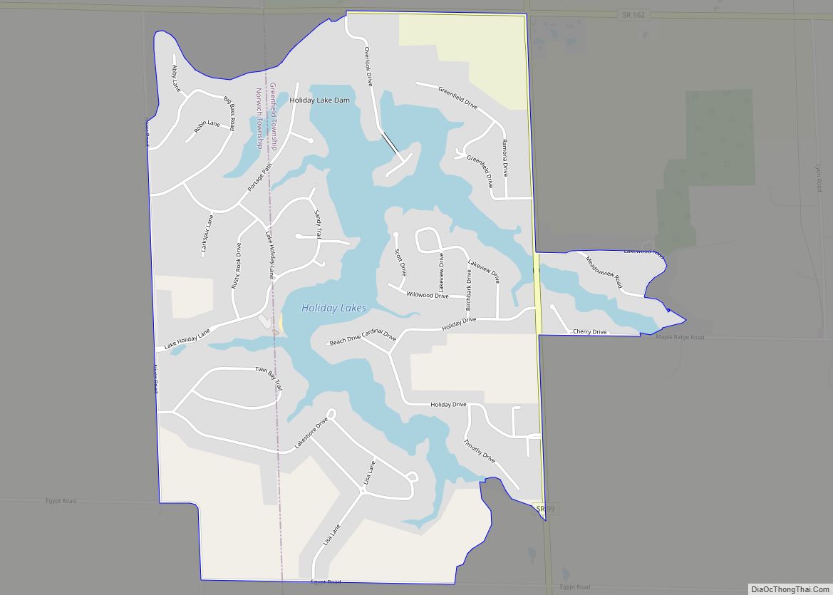
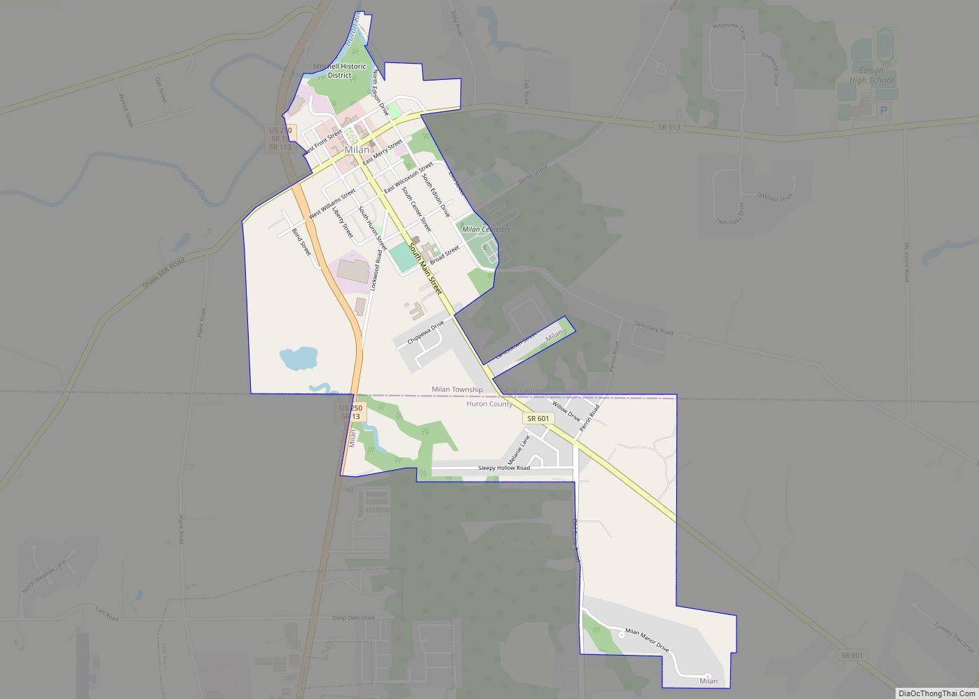
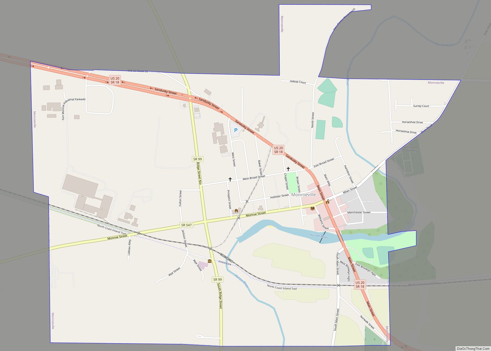
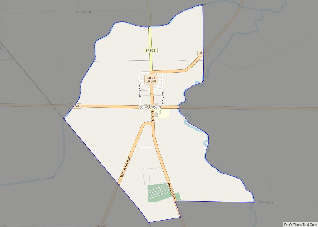
Online Interactive Map
Click on ![]() to view map in "full screen" mode.
to view map in "full screen" mode.
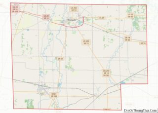
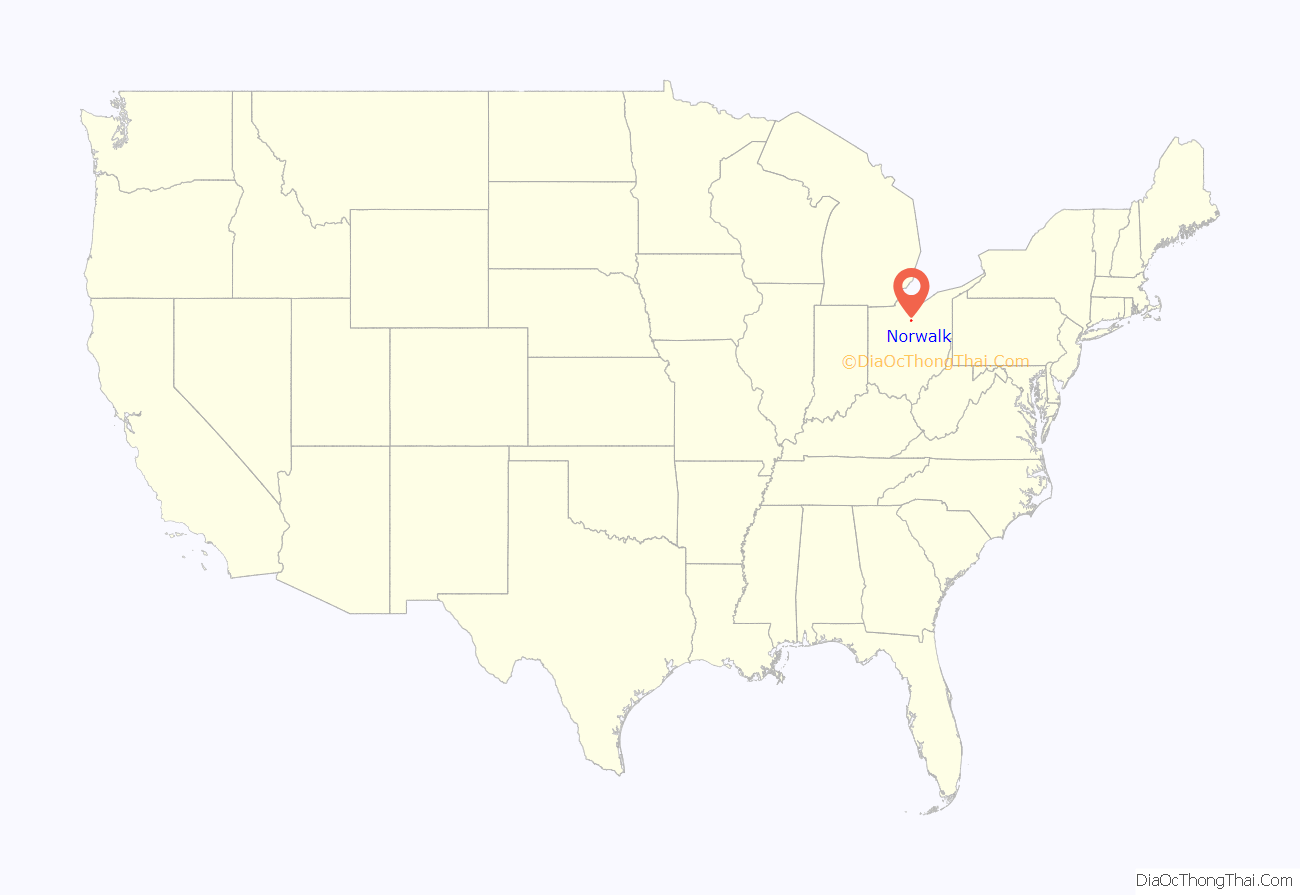
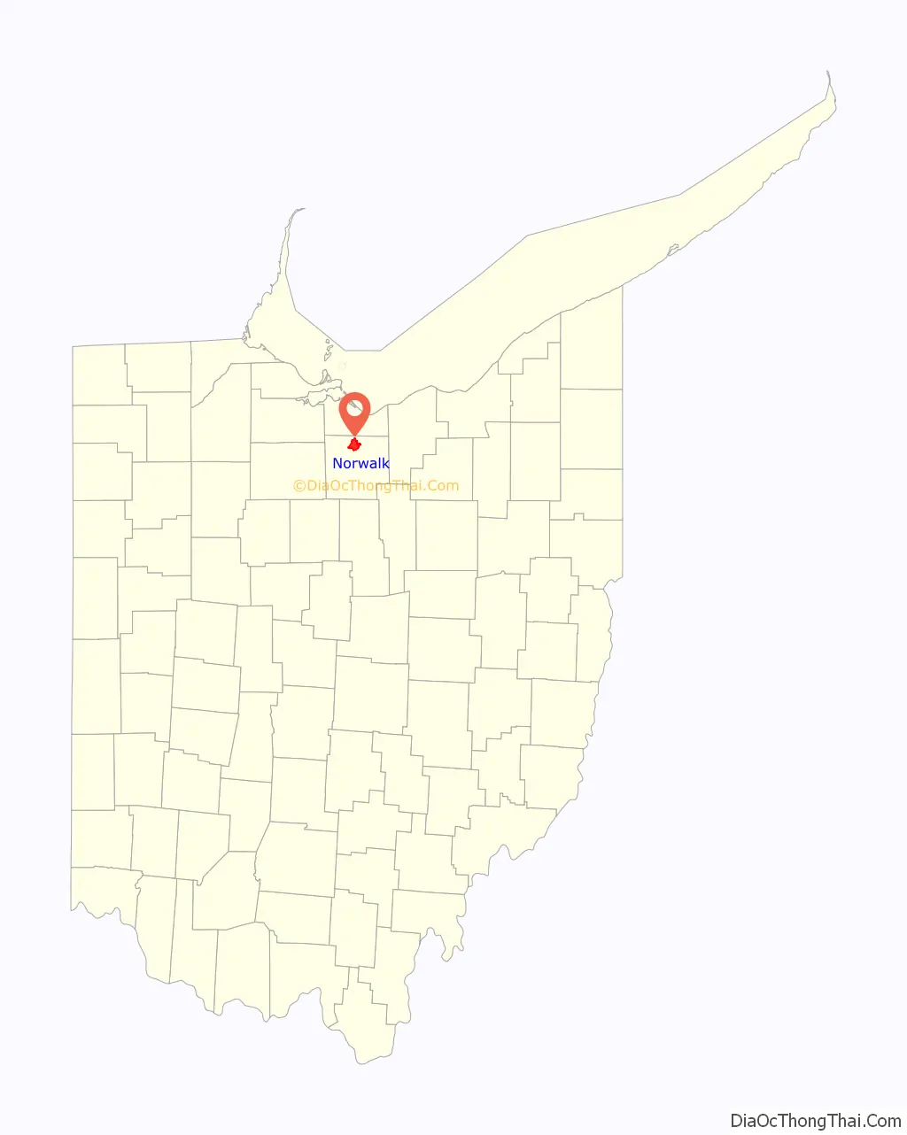
Norwalk location map. Where is Norwalk city?
History
On July 11, 1779, Norwalk, Connecticut, was burned by the British Tories under Lieutenant General Tryon. A committee of the General Assembly estimated the losses to the inhabitants at $116,238.66. Later, the federal government gave an area in the Western Reserve of Ohio as compensation for those established losses.
On May 30, 1800, the United States ceded the land titles to the “fire sufferers” and the representatives of the Reserve transferred the political jurisdiction to the general government. The Indian title was extinguished by treaty on July 4, 1805, on payment of $18,916.67; and in 1806, 13 men arrived to make the first survey of the Firelands.
On November 9, 1808, a group of prominent citizens from Ridgefield, Norwalk, New Haven, Greenwich, and Fairfield met at the courthouse in New Haven, Connecticut, as the Board of Directors of the Proprietors of the 500,000 acres (2,000 km) of land lying south of Lake Erie, called the “Sufferers Land”. They passed a resolution naming many of the townships in this area known as the “Firelands of Ohio”.
Between 1806 and 1810, many families made the trip to look over land they had purchased in the “Firelands”. During the War of 1812, because of the fear of British and Indian raids, settlement of the Huron County area came almost to a standstill. However, in 1815, Platt Benedict of Danbury, Connecticut, visited and examined the present site of Norwalk. He returned to Danbury and purchased 1,300 acres (5.3 km) of land with an eye toward establishing a town.
In July 1817, Benedict returned to Norwalk with his family and immediately built a house. This was the first permanent residence established within the limits of Norwalk Village. In May 1818, the county seat was successfully removed from Avery, Ohio, to Norwalk, and by 1819 a census showed a population of 109 residents. Platt Benedict, the founder of Norwalk and its first mayor, died in 1866 at the age of 91. He is buried in Woodlawn Cemetery.
Benedict was the first white permanent settler in Norwalk, when he came with his wife, Sarah DeForest (1777-1852) and their children Clarissa, David, Daniel, Jonas, and Eliza. His descendants remained prominent in the area. On January 19, 1936, the Sandusky Daily Register published the obituary of John L. Severance, the multi-millionaire businessman and Standard Oil founding member. In the obituary, he is listed as “a great grandson of Platt Benedict, one of the founders of [Norwalk, Ohio]”.
Among the earliest settlers of Norwalk were other men of wealth and education. They brought with them not only the customs, but also the architecture of New England. Many of their homes are still standing today.
In 1881, Norwalk’s population reached the required minimum to incorporate as a city, and the City of Norwalk dates from April 12, 1881.
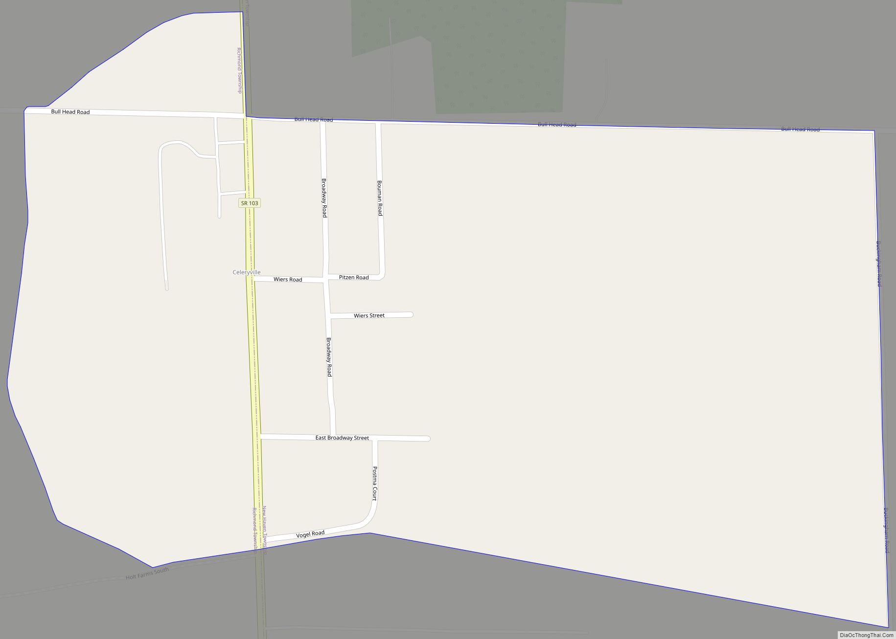
Norwalk Road Map
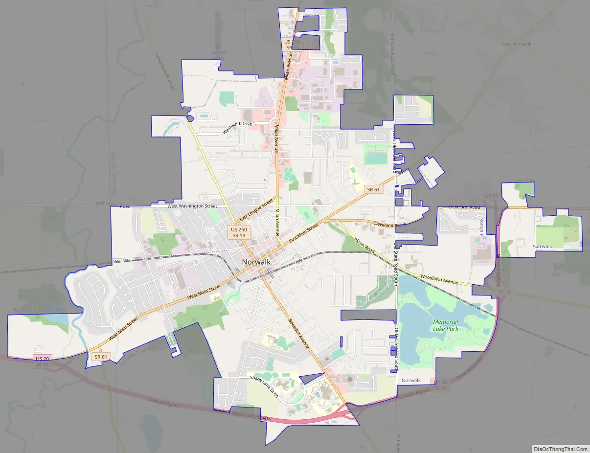
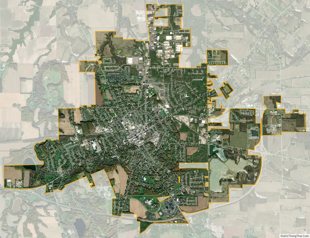
Norwalk city Satellite Map
Geography
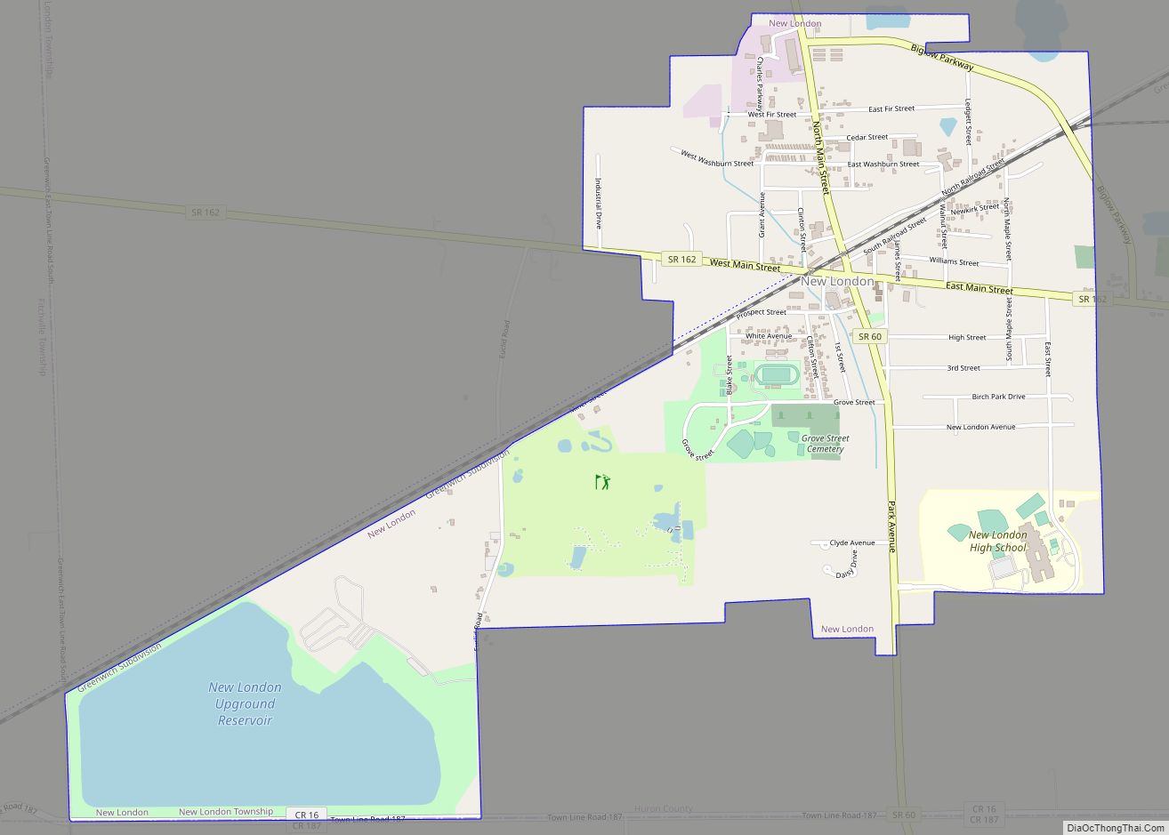
Norwalk is located at 41°14′35″N 82°36′41″W / 41.24306°N 82.61139°W / 41.24306; -82.61139, at the center of the Firelands, a subregion of the Connecticut Western Reserve. The subregion’s name recalls the founding of the area as one for settlers from cities in Connecticut that were largely destroyed by fire during the Revolutionary War. Several locations in the Firelands were named in honor of those cities, including Danbury, Greenwich, Groton, New Haven, New London, Norwalk, Norwich, and Ridgefield. Other locations were named for the settlers, including Clarksfield, Perkins, and Sherman.
According to the United States Census Bureau, the city has a total area of 9.15 square miles (23.70 km), of which 8.87 square miles (22.97 km) is land and 0.28 square miles (0.73 km) is water. The city of Norwalk is bound by Norwalk Township in each direction and a small portion of the west side is bound by Ridgefield Township. The city is located approximately 12 miles (19 km) south of Lake Erie.
Climate
See also
Map of Ohio State and its subdivision:- Adams
- Allen
- Ashland
- Ashtabula
- Athens
- Auglaize
- Belmont
- Brown
- Butler
- Carroll
- Champaign
- Clark
- Clermont
- Clinton
- Columbiana
- Coshocton
- Crawford
- Cuyahoga
- Darke
- Defiance
- Delaware
- Erie
- Fairfield
- Fayette
- Franklin
- Fulton
- Gallia
- Geauga
- Greene
- Guernsey
- Hamilton
- Hancock
- Hardin
- Harrison
- Henry
- Highland
- Hocking
- Holmes
- Huron
- Jackson
- Jefferson
- Knox
- Lake
- Lake Erie
- Lawrence
- Licking
- Logan
- Lorain
- Lucas
- Madison
- Mahoning
- Marion
- Medina
- Meigs
- Mercer
- Miami
- Monroe
- Montgomery
- Morgan
- Morrow
- Muskingum
- Noble
- Ottawa
- Paulding
- Perry
- Pickaway
- Pike
- Portage
- Preble
- Putnam
- Richland
- Ross
- Sandusky
- Scioto
- Seneca
- Shelby
- Stark
- Summit
- Trumbull
- Tuscarawas
- Union
- Van Wert
- Vinton
- Warren
- Washington
- Wayne
- Williams
- Wood
- Wyandot
- Alabama
- Alaska
- Arizona
- Arkansas
- California
- Colorado
- Connecticut
- Delaware
- District of Columbia
- Florida
- Georgia
- Hawaii
- Idaho
- Illinois
- Indiana
- Iowa
- Kansas
- Kentucky
- Louisiana
- Maine
- Maryland
- Massachusetts
- Michigan
- Minnesota
- Mississippi
- Missouri
- Montana
- Nebraska
- Nevada
- New Hampshire
- New Jersey
- New Mexico
- New York
- North Carolina
- North Dakota
- Ohio
- Oklahoma
- Oregon
- Pennsylvania
- Rhode Island
- South Carolina
- South Dakota
- Tennessee
- Texas
- Utah
- Vermont
- Virginia
- Washington
- West Virginia
- Wisconsin
- Wyoming