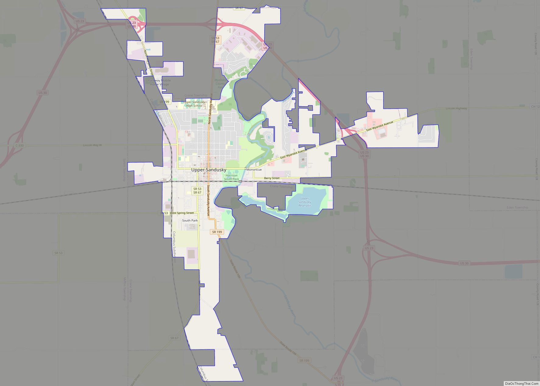
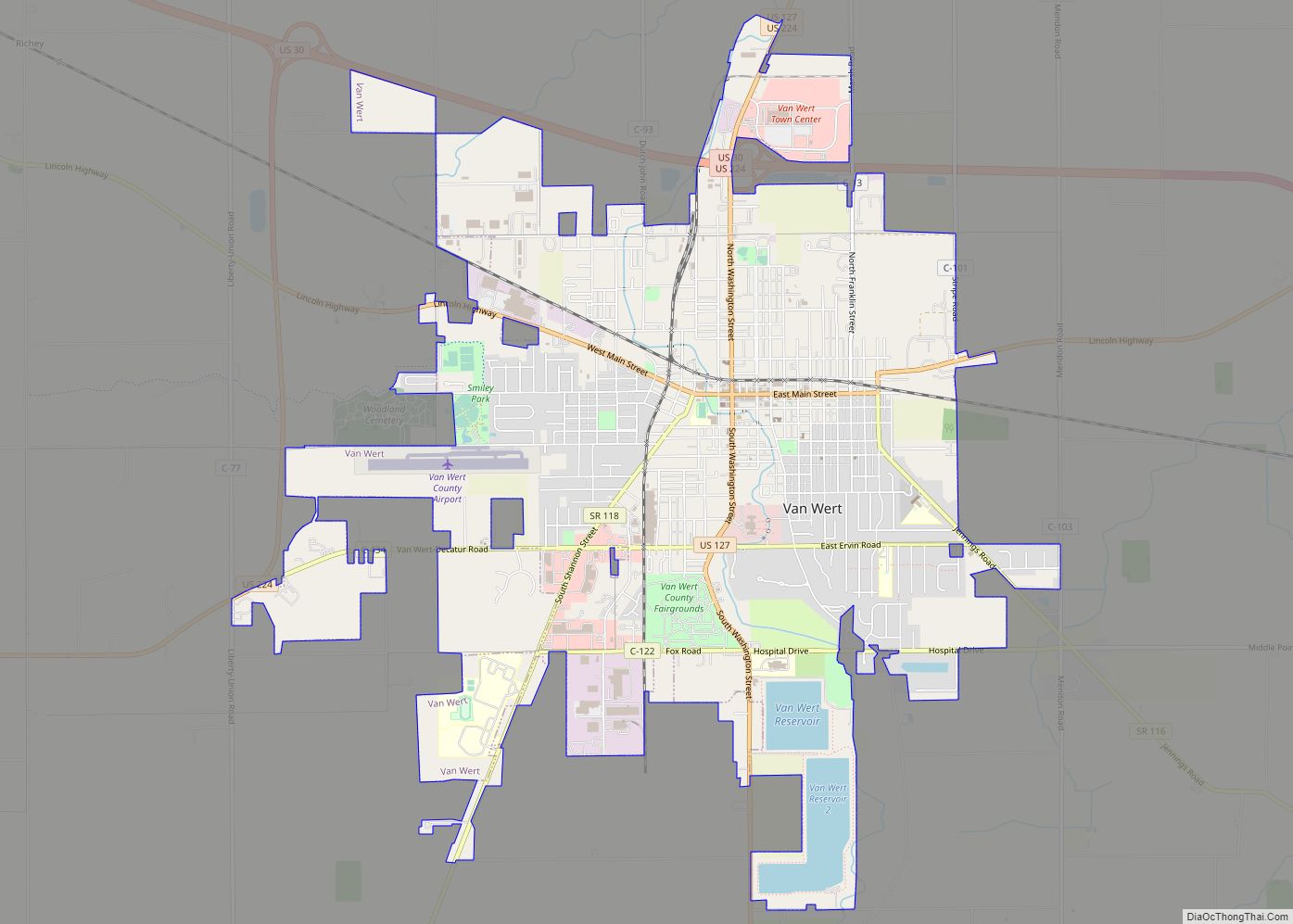
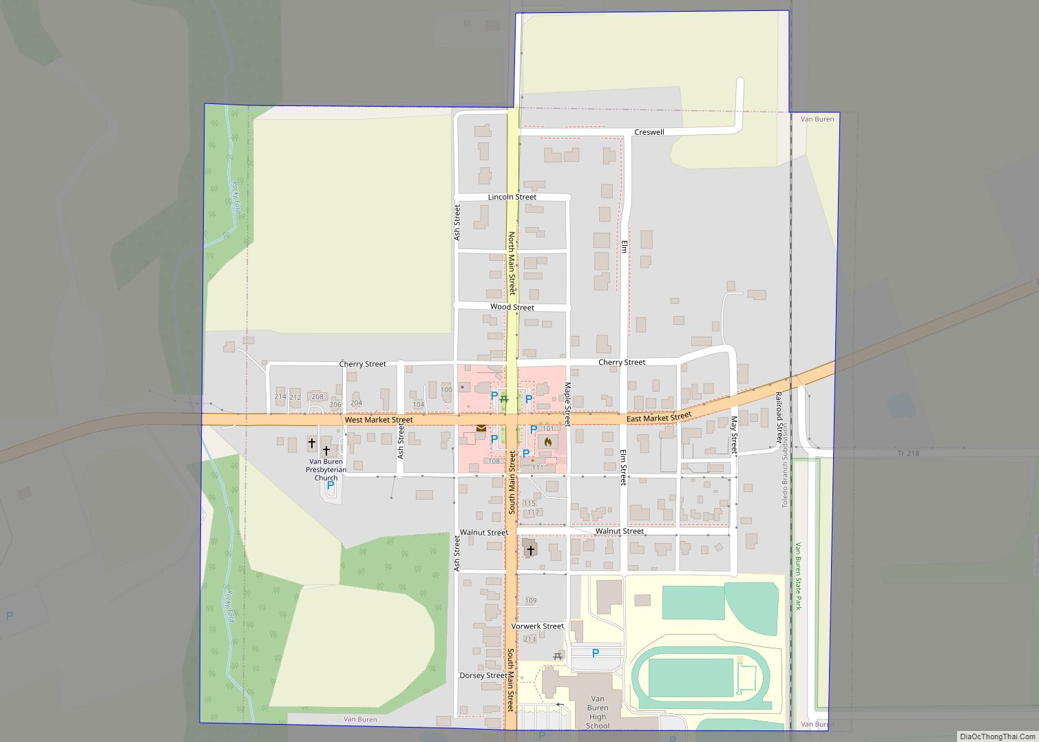
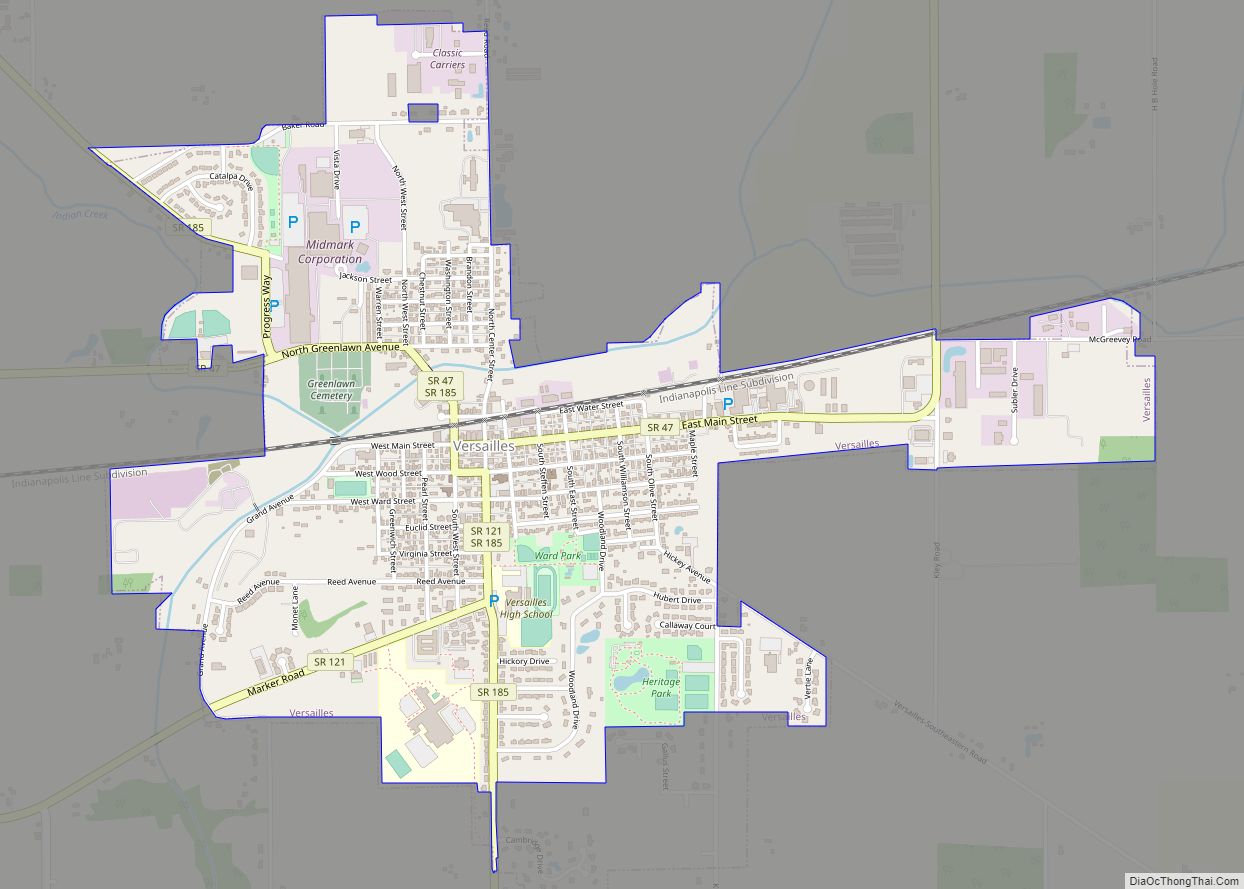
Map of Valleyview village
Valleyview is a village in Franklin County, Ohio, United States. The population was 669 at the 2020 census. Valleyview village overview: Name: Valleyview village LSAD Code: 47 LSAD Description: village (suffix) State: Ohio County: Franklin County Total Area: 0.15 sq mi (0.38 km²) Land Area: 0.14 sq mi (0.37 km²) Water Area: 0.00 sq mi (0.01 km²) Total Population: 669 Population Density: 4,678.32/sq mi (1,810.53/km²) ... Read more
Map of Valleyview village
Map of Valley View village, Ohio
Valley View is a village in Cuyahoga County, Ohio, United States. The population was 2,034 at the 2010 census. It is a suburb of Cleveland with a town council form of government. It is part of a school district that also includes nearby Cuyahoga Heights and Brooklyn Heights. Its name refers to the Cuyahoga River ... Read more
Map of Valley View village, Ohio
Map of Valley Hi village
Valley Hi is a village in Logan County, Ohio, United States. The population was 212 at the 2010 census. The village is located nearby U.S. Route 33 and is about an hour northwest of Columbus. The village lies mostly in Jefferson Township, but its southernmost portion extends into Monroe Township. Valley Hi village overview: Name: ... Read more
Map of Valley Hi village
Map of Vickery CDP
Vickery is an unincorporated community and census-designated places in western Townsend Township, Sandusky County, Ohio, United States. It has a post office with the ZIP code 43464 and a volunteer fire department called Townsend Township FD. Vickery CDP overview: Name: Vickery CDP LSAD Code: 57 LSAD Description: CDP (suffix) State: Ohio County: Sandusky County FIPS ... Read more
Map of Vickery CDP
Map of Versailles village, Ohio
Versailles (/vərˈseɪlz/ vər-SAYLZ) is a village in Darke County, Ohio, United States. It is the only village in Wayne Township. The population was 2,687 at the 2010 census. Versailles village overview: Name: Versailles village LSAD Code: 47 LSAD Description: village (suffix) State: Ohio County: Darke County Total Area: 2.01 sq mi (5.22 km²) Land Area: 2.01 sq mi (5.20 km²) Water ... Read more
Map of Versailles village, Ohio
Map of Verona village, Ohio
Verona is a village in Montgomery and Preble counties in the U.S. state of Ohio. The population was 403 at the 2020 census. It is part of the Dayton Metropolitan Statistical Area. Verona village overview: Name: Verona village LSAD Code: 47 LSAD Description: village (suffix) State: Ohio County: Montgomery County, Preble County Total Area: 0.46 sq mi ... Read more
Map of Verona village, Ohio
Map of Vermilion city, Ohio
Vermilion is a city in Erie and Lorain Counties in the U.S. state of Ohio, on Lake Erie. Its population was 10,659 at the 2020 census. Located about 35 miles west of Cleveland and 17 miles east of Sandusky, it is part of the Cleveland metropolitan area and Sandusky micropolitan area. Vermilion city overview: Name: ... Read more
Map of Vermilion city, Ohio
Map of Venedocia village
Venedocia is a village in Van Wert County, Ohio, United States. The population was 124 at the 2010 census. It is included within the Van Wert, Ohio Micropolitan Statistical Area and the Lima-Van Wert-Wapakoneta, OH Combined Statistical Area. Venedocia village overview: Name: Venedocia village LSAD Code: 47 LSAD Description: village (suffix) State: Ohio County: Van ... Read more
Map of Venedocia village
Map of Vaughnsville CDP
Vaughnsville (/ˈvɔːnzvɪl/ VAWNZ-vil) is an unincorporated community and census-designated place in southern Sugar Creek Township, Putnam County, Ohio, United States. It has a post office with the ZIP code 45893. It lies along State Route 115 at its intersection with State Routes 12 and 189. Sugar Creek flows along the west and south of Vaughnsville.. ... Read more
Map of Vaughnsville CDP
Map of Vanlue village
Vanlue is a village in Hancock County, Ohio, United States. The population was 359 at the 2010 census. Vanlue village overview: Name: Vanlue village LSAD Code: 47 LSAD Description: village (suffix) State: Ohio County: Hancock County Total Area: 0.36 sq mi (0.92 km²) Land Area: 0.35 sq mi (0.90 km²) Water Area: 0.01 sq mi (0.02 km²) Total Population: 341 Population Density: 979.89/sq mi (378.48/km²) ... Read more
Map of Vanlue village
Map of Vandalia city, Ohio
Vandalia is a city in Montgomery County, Ohio, United States, and a suburb of Dayton. Its population was 15,209 during the 2020 census. In addition to being the city closest to Dayton International Airport, Vandalia lies at the crossroads of I-75 and I-70. Vandalia city overview: Name: Vandalia city LSAD Code: 25 LSAD Description: city ... Read more
Map of Vandalia city, Ohio
Map of Van Wert city, Ohio
Van Wert is a city in and the county seat of Van Wert County, Ohio, United States. The municipality is located in northwestern Ohio approximately 77 mi (123 km) SW of Toledo and 34 mi (54 km) SE of Fort Wayne, Indiana. The population was 10,846 at the 2010 census. It is the principal city of and is included ... Read more
Map of Van Wert city, Ohio