Vandalia is a city in Montgomery County, Ohio, United States, and a suburb of Dayton. Its population was 15,209 during the 2020 census. In addition to being the city closest to Dayton International Airport, Vandalia lies at the crossroads of I-75 and I-70.
| Name: | Vandalia city |
|---|---|
| LSAD Code: | 25 |
| LSAD Description: | city (suffix) |
| State: | Ohio |
| County: | Montgomery County |
| Elevation: | 994 ft (303 m) |
| Total Area: | 12.39 sq mi (32.09 km²) |
| Land Area: | 12.35 sq mi (31.98 km²) |
| Water Area: | 0.04 sq mi (0.11 km²) |
| Total Population: | 15,209 |
| Population Density: | 1,231.80/sq mi (475.60/km²) |
| ZIP code: | 45377 |
| Area code: | 937, 326 |
| FIPS code: | 3979492 |
| GNISfeature ID: | 1049271 |
| Website: | vandaliaohio.org |
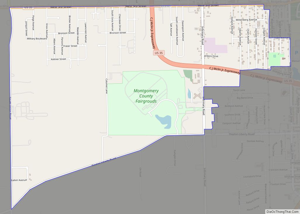
Online Interactive Map
Click on ![]() to view map in "full screen" mode.
to view map in "full screen" mode.
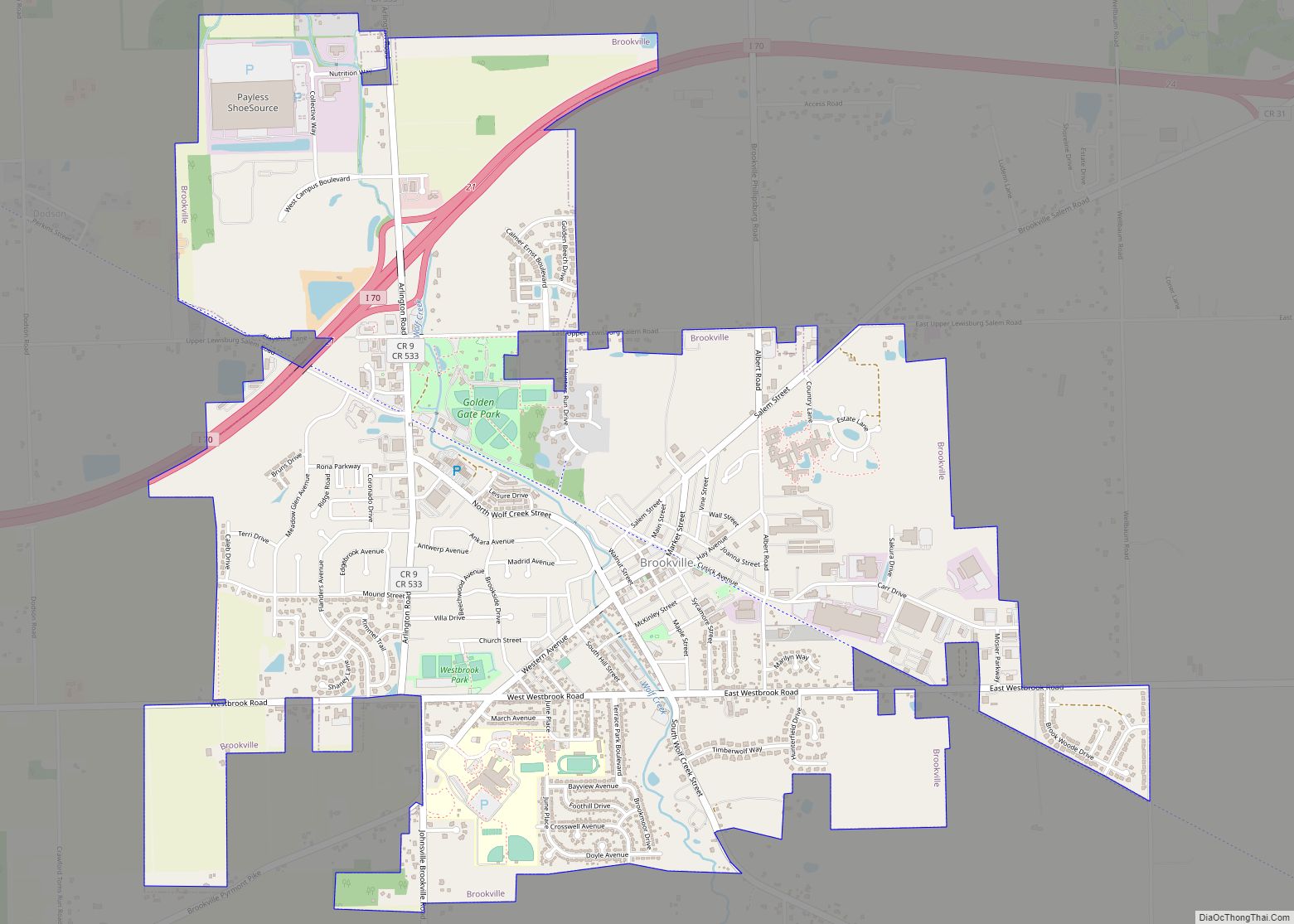
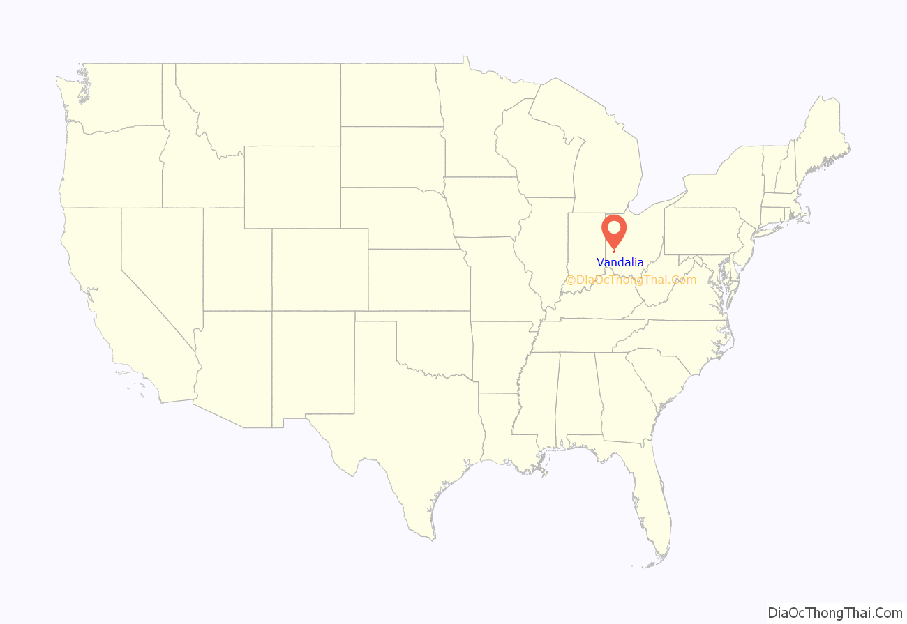
Vandalia location map. Where is Vandalia city?

History
On August 17, 1838, Benjamin Wilhelm, a settler from Pennsylvania, settled near what is now the intersection of U.S. Route 40 and US Route 25-A. He built his home and a small general store as a stop and resting place for travelers heading west. The small town began to attract travelers and businessmen, and on February 7, 1848, the town was incorporated as “The Village of Vandalia” with Benjamin Wilhelm as its first mayor. The village was laid out in 38 lots including a church, hotels, blacksmiths shops, a steam sawmill, meat markets, and a carriage shop. It was named after Vandalia, Illinois.
By 1959, Vandalia was outgrowing its “village” status, and its citizens voted to make it a council-manager form of government, effectively making the village into a municipal corporation. On January 2, 1960, Vandalia became a Charter City of the State of Ohio.
The Delphi Automotive manufacturing plant in Vandalia, which opened in the 1930s, cut back operations in 2003. It continued to operate “through Delphi’s time in Chapter 11 bankruptcy protection, from October 2005 to October 2009,” and was purchased by Mahle Behr in 2015.
Until 2005, Vandalia was home to the Amateur Trapshooting Association (ATA), which moved to Sparta, Illinois after an expansion of the Dayton International Airport.
Name
Some records indicate that Benjamin Wilhelm, the town’s founder, settled in Vandalia on his way to Vandalia, Illinois. Instead, he stopped here and named his new town after his original destination. Others claim that the town was named Vandalia because the National Road was intended to extend to Vandalia, Illinois, but, for a time, it looked as though it would not do so. This doubt resulted in the name being used for a town along the Road in Ohio.
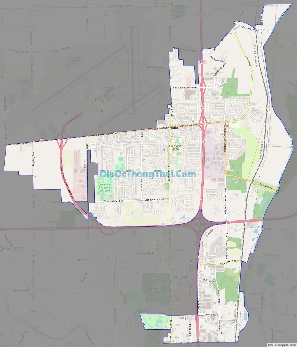
Vandalia Road Map
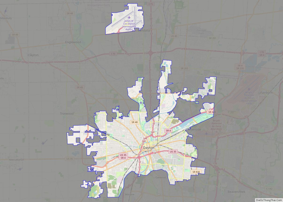
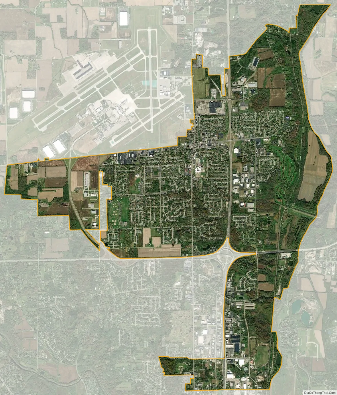
Vandalia city Satellite Map
Geography
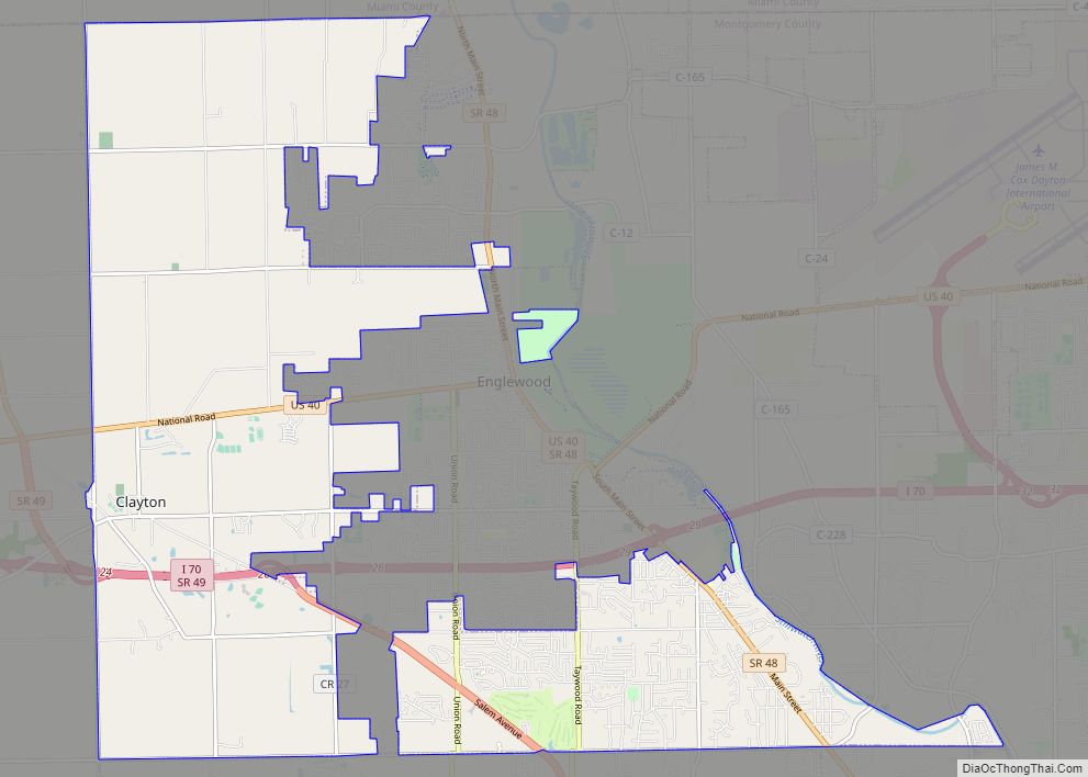
Vandalia is about 10 miles (16 km) north of Dayton on Dixie Drive (former U.S. Highway 25). It is between the Great Miami River and the Stillwater River. The city has been called the “Crossroads of America” due to its location on the National Road and the Dixie Highway. These correspond to U.S. Route 40 and former U.S. Route 25, which in turn, have been supplanted by two major expressways: east-west Interstate 70 and north–south Interstate 75.
According to the United States Census Bureau, the city has a total area of 12.41 square miles (32.14 km), of which, 12.34 square miles (31.96 km) is land and 0.07 square miles (0.18 km) is water.
See also
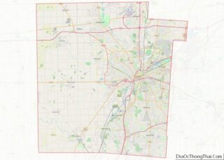
Map of Ohio State and its subdivision:- Adams
- Allen
- Ashland
- Ashtabula
- Athens
- Auglaize
- Belmont
- Brown
- Butler
- Carroll
- Champaign
- Clark
- Clermont
- Clinton
- Columbiana
- Coshocton
- Crawford
- Cuyahoga
- Darke
- Defiance
- Delaware
- Erie
- Fairfield
- Fayette
- Franklin
- Fulton
- Gallia
- Geauga
- Greene
- Guernsey
- Hamilton
- Hancock
- Hardin
- Harrison
- Henry
- Highland
- Hocking
- Holmes
- Huron
- Jackson
- Jefferson
- Knox
- Lake
- Lake Erie
- Lawrence
- Licking
- Logan
- Lorain
- Lucas
- Madison
- Mahoning
- Marion
- Medina
- Meigs
- Mercer
- Miami
- Monroe
- Montgomery
- Morgan
- Morrow
- Muskingum
- Noble
- Ottawa
- Paulding
- Perry
- Pickaway
- Pike
- Portage
- Preble
- Putnam
- Richland
- Ross
- Sandusky
- Scioto
- Seneca
- Shelby
- Stark
- Summit
- Trumbull
- Tuscarawas
- Union
- Van Wert
- Vinton
- Warren
- Washington
- Wayne
- Williams
- Wood
- Wyandot
- Alabama
- Alaska
- Arizona
- Arkansas
- California
- Colorado
- Connecticut
- Delaware
- District of Columbia
- Florida
- Georgia
- Hawaii
- Idaho
- Illinois
- Indiana
- Iowa
- Kansas
- Kentucky
- Louisiana
- Maine
- Maryland
- Massachusetts
- Michigan
- Minnesota
- Mississippi
- Missouri
- Montana
- Nebraska
- Nevada
- New Hampshire
- New Jersey
- New Mexico
- New York
- North Carolina
- North Dakota
- Ohio
- Oklahoma
- Oregon
- Pennsylvania
- Rhode Island
- South Carolina
- South Dakota
- Tennessee
- Texas
- Utah
- Vermont
- Virginia
- Washington
- West Virginia
- Wisconsin
- Wyoming