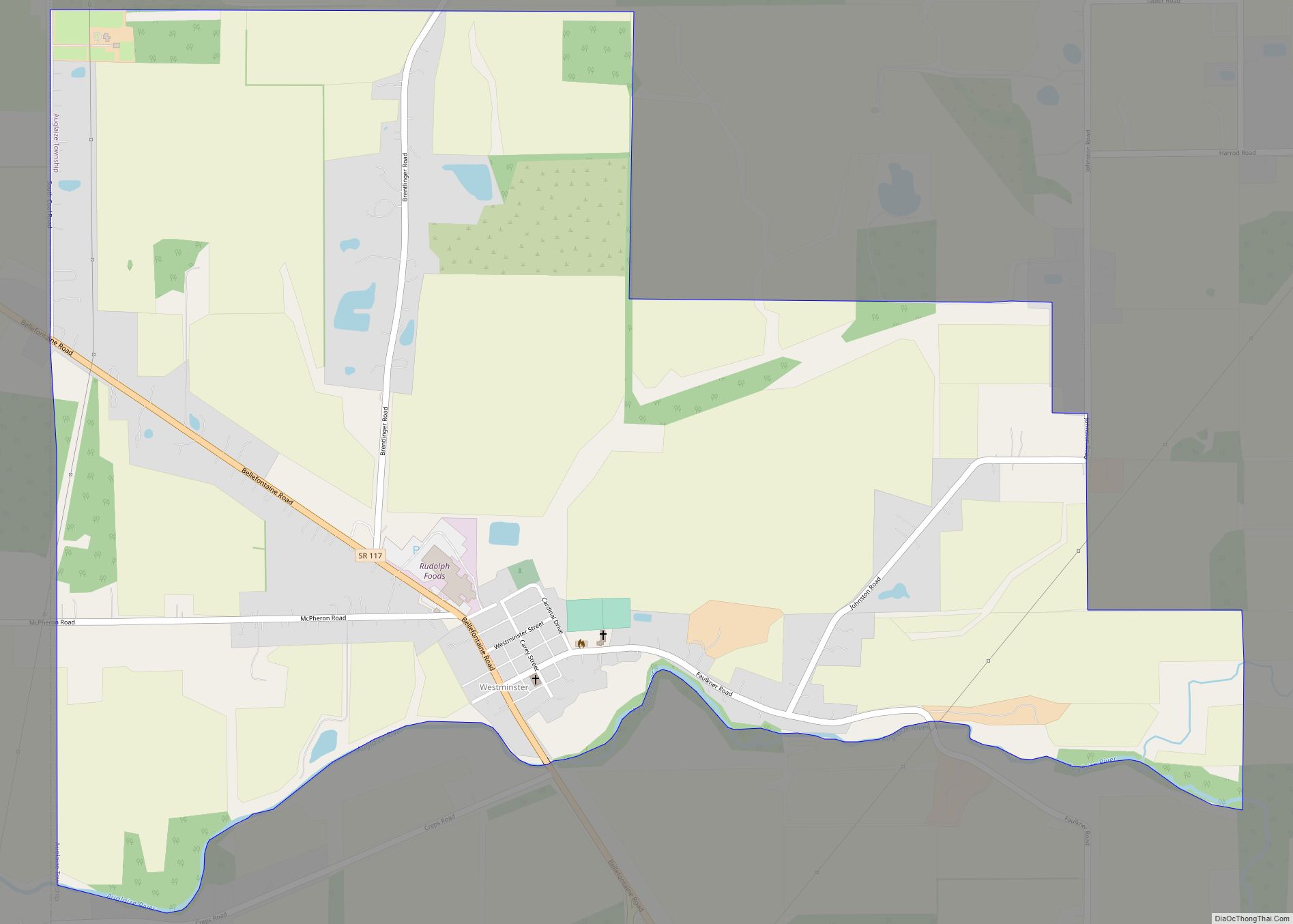
Westminster is an unincorporated community in western Auglaize Township, Allen County, Ohio, United States. It lies along State Route 117 just north of its intersection with State Route 196, 6½ miles (10½ km) north of Waynesfield and 7+1⁄2 miles (12.1 km) southeast of the downtown part of the city of Lima, the county seat of Allen ... Read more
Ohio Cities and Places
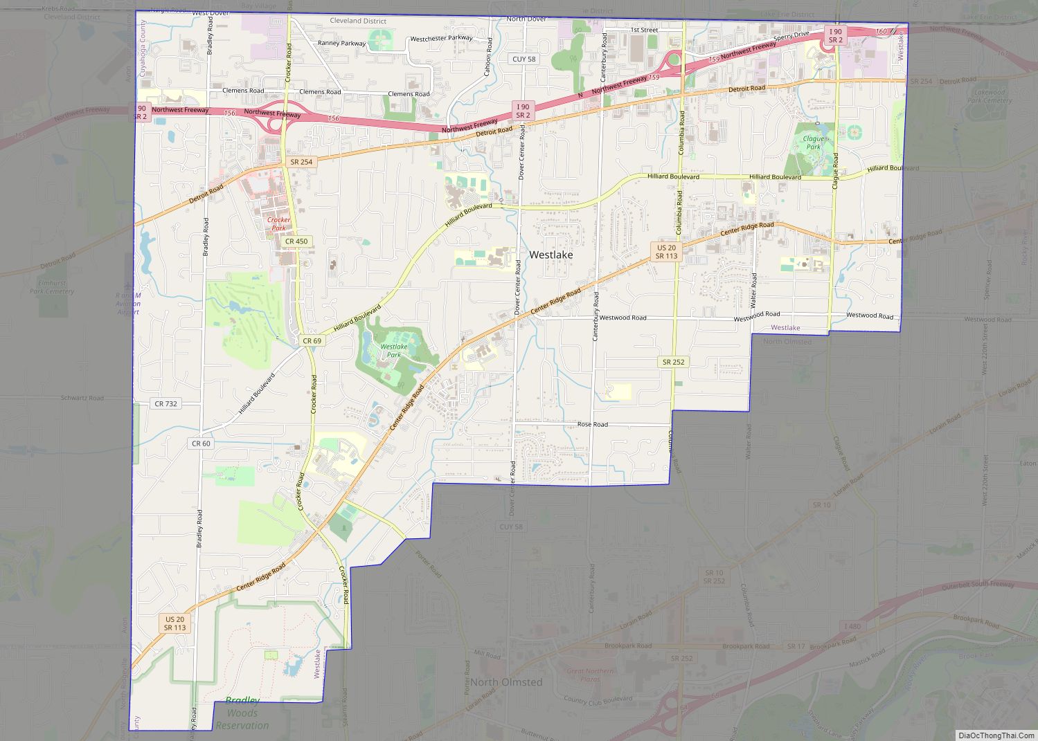
Westlake is a city in Cuyahoga County, Ohio, United States. It is a suburb of Cleveland located 12 miles west of downtown Cleveland. The population was 34,228 at the 2020 census. Westlake city overview: Name: Westlake city LSAD Code: 25 LSAD Description: city (suffix) State: Ohio County: Cuyahoga County Elevation: 709 ft (216 m) Total Area: 15.94 sq mi ... Read more
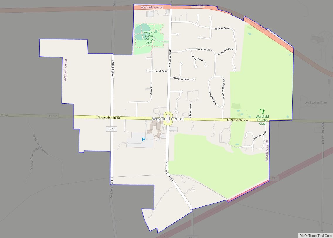
Westfield Center is a village in Medina County, Ohio, United States. The population was 1,115 at the 2010 census. Despite the community’s small size, it is the home of Westfield Insurance, the largest employer in Medina County. Westfield Center village overview: Name: Westfield Center village LSAD Code: 47 LSAD Description: village (suffix) State: Ohio County: ... Read more
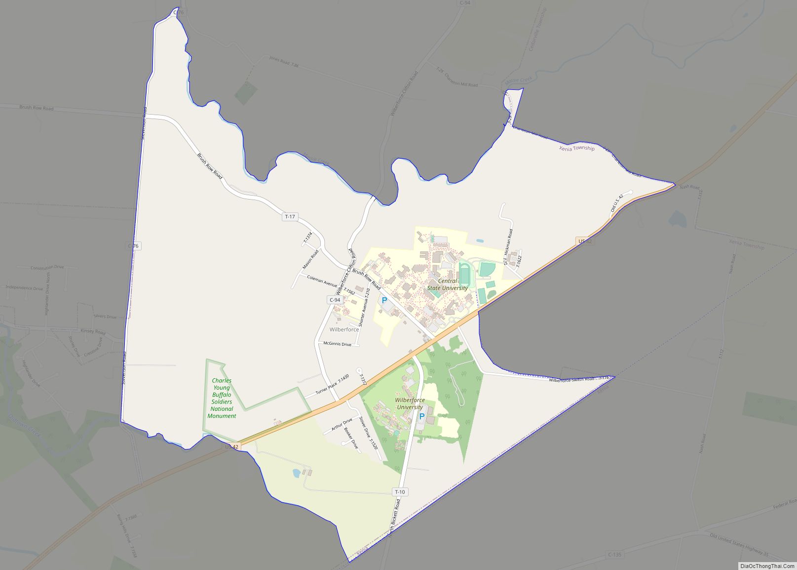
Wilberforce is a census-designated place (CDP) in Greene County, Ohio, United States. The population was 2,271 at the 2010 census, up from 1,579 at the 2000 census. Wilberforce CDP overview: Name: Wilberforce CDP LSAD Code: 57 LSAD Description: CDP (suffix) State: Ohio County: Greene County Elevation: 1,007 ft (307 m) Total Area: 3.10 sq mi (8.04 km²) Land Area: 3.08 sq mi ... Read more
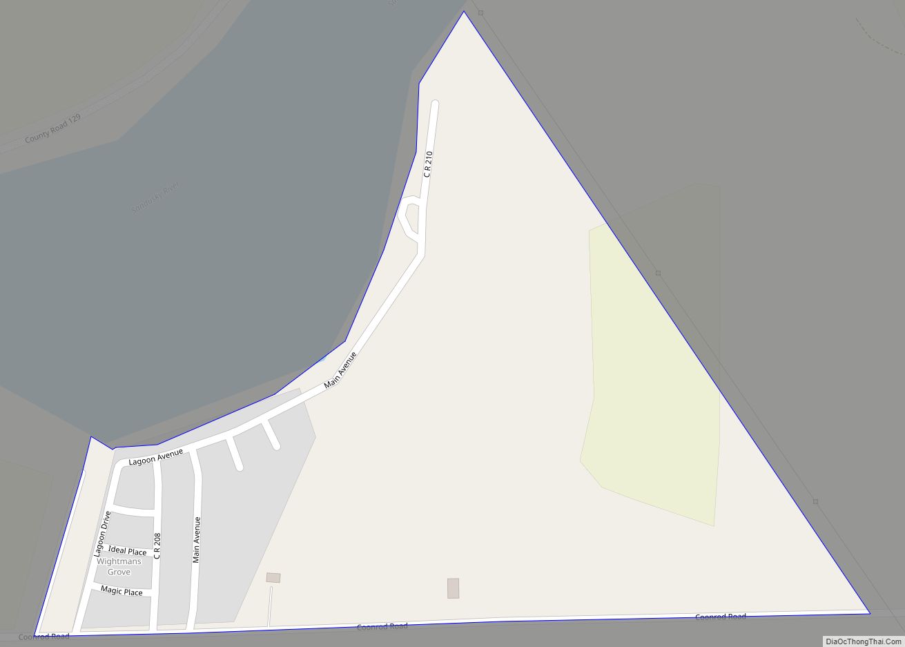
Wightmans Grove is a census-designated place in Sandusky County, in the U.S. state of Ohio. Its population was 72 as of the 2010 census. Wightmans Grove CDP overview: Name: Wightmans Grove CDP LSAD Code: 57 LSAD Description: CDP (suffix) State: Ohio County: Sandusky County Elevation: 574 ft (175 m) Total Area: 0.17 sq mi (0.45 km²) Land Area: 0.14 sq mi (0.37 km²) ... Read more
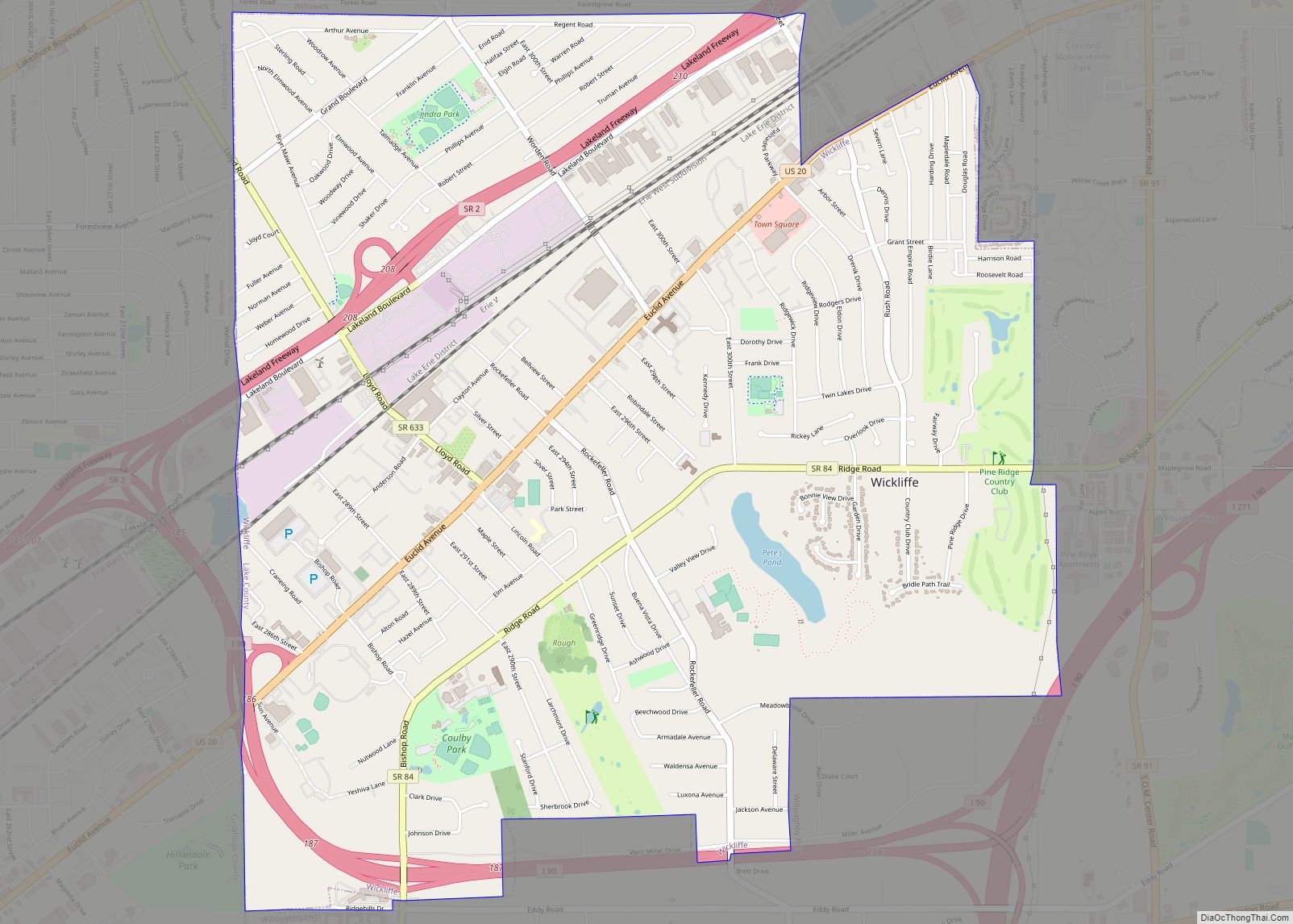
Wickliffe is a city in Lake County, Ohio, United States. The population was 12,652 at the 2020 census. Wickliffe city overview: Name: Wickliffe city LSAD Code: 25 LSAD Description: city (suffix) State: Ohio County: Lake County Elevation: 768 ft (234 m) Total Area: 4.63 sq mi (11.99 km²) Land Area: 4.61 sq mi (11.94 km²) Water Area: 0.02 sq mi (0.06 km²) Total Population: 12,652 Population ... Read more
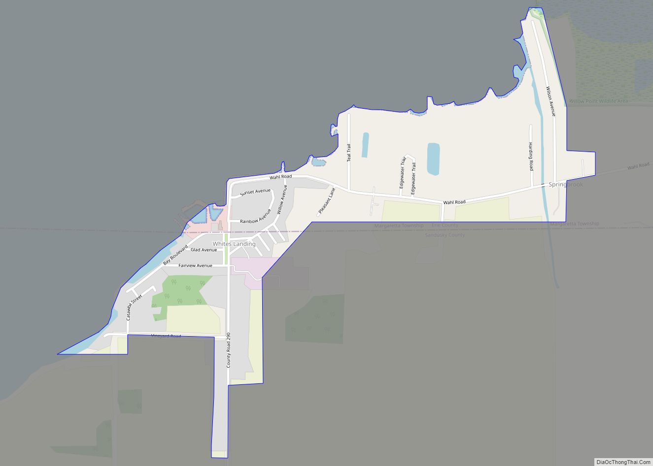
Whites Landing is an unincorporated community and census-designated place in Erie and Sandusky counties, Ohio, United States. As of the 2010 census it had a population of 375. It is located within Margaretta and Townsend townships. Whites Landing CDP overview: Name: Whites Landing CDP LSAD Code: 57 LSAD Description: CDP (suffix) State: Ohio County: Erie ... Read more
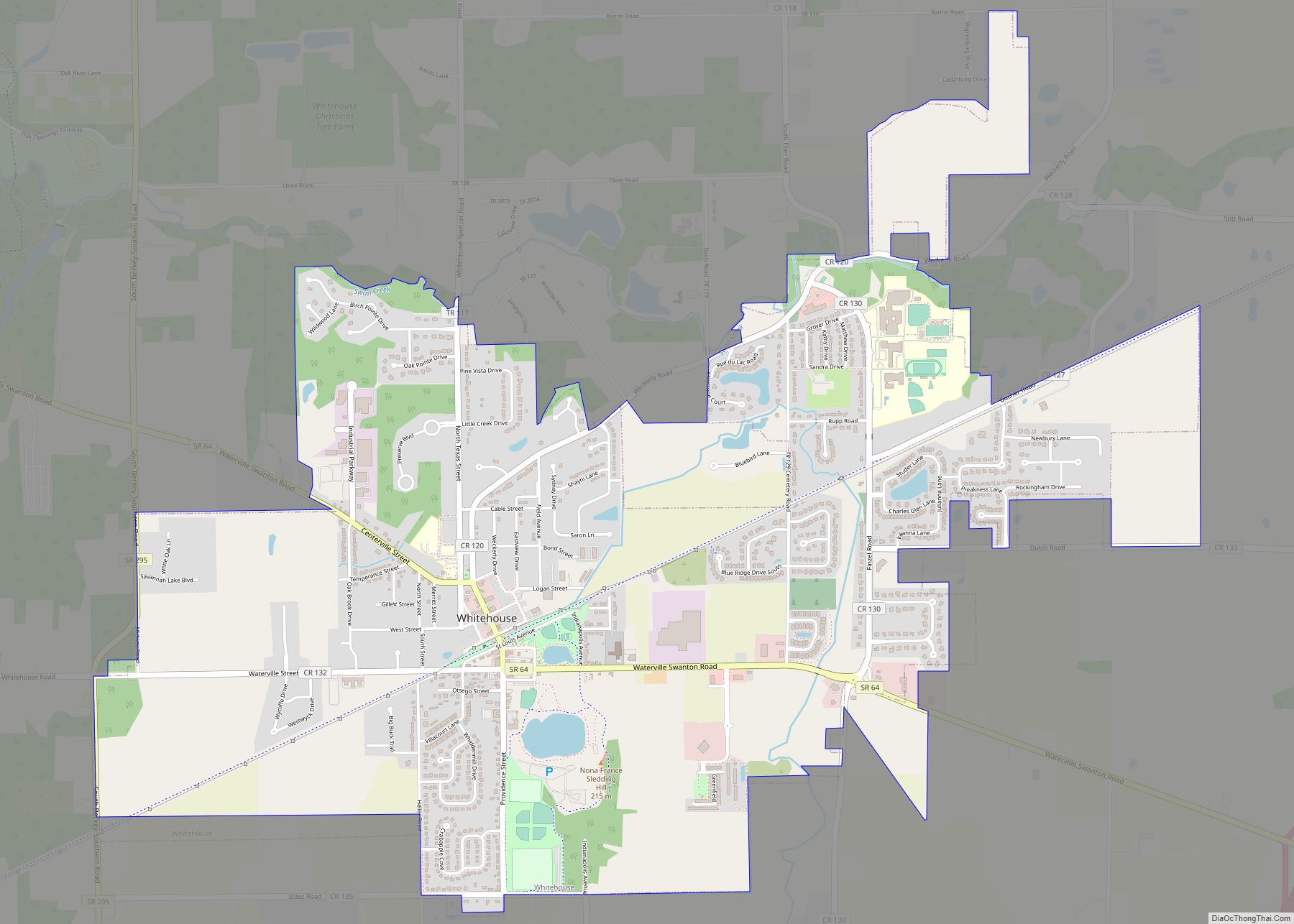
Whitehouse is a village within the Toledo Metropolitan Area in Lucas County, Ohio, United States. The population was 4,149 at the 2010 census. Whitehouse village overview: Name: Whitehouse village LSAD Code: 47 LSAD Description: village (suffix) State: Ohio County: Lucas County Total Area: 4.31 sq mi (11.17 km²) Land Area: 4.31 sq mi (11.17 km²) Water Area: 0.00 sq mi (0.00 km²) Total Population: ... Read more
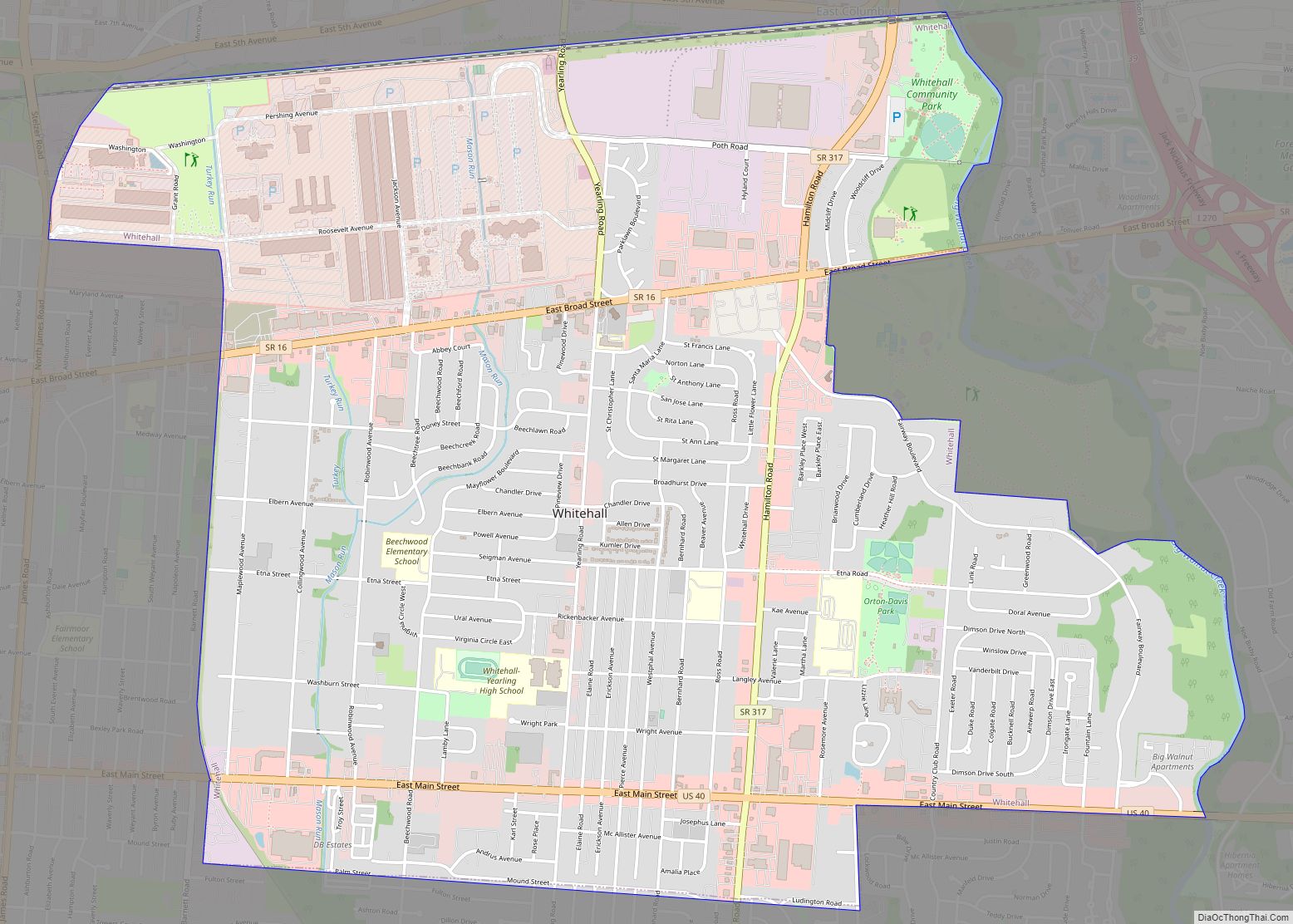
Whitehall is a city in the U.S state of Ohio, located 6.6 miles (10.6 km) east of the state capital of Columbus in Franklin County. Whitehall had a population of 20,127 in the 2020 census. Founded in 1947, Whitehall is a growing suburb of Columbus. Per the U.S. Census Bureau, Whitehall’s population is culturally and racially ... Read more
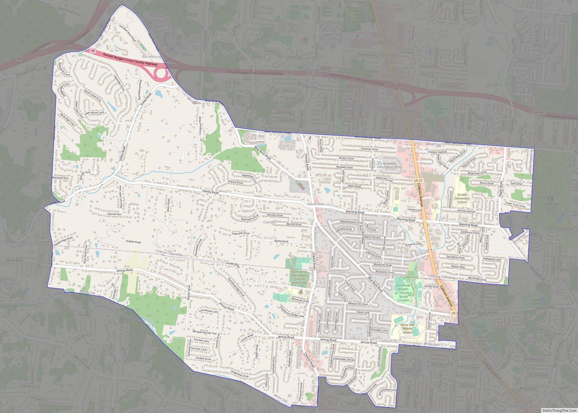
White Oak is a census-designated place (CDP) in Hamilton County, Ohio, United States. It is seven miles northwest of Cincinnati. The population was 19,541 at the 2020 census. White Oak is situated in both Green Township and Colerain Township. White Oak CDP overview: Name: White Oak CDP LSAD Code: 57 LSAD Description: CDP (suffix) State: ... Read more
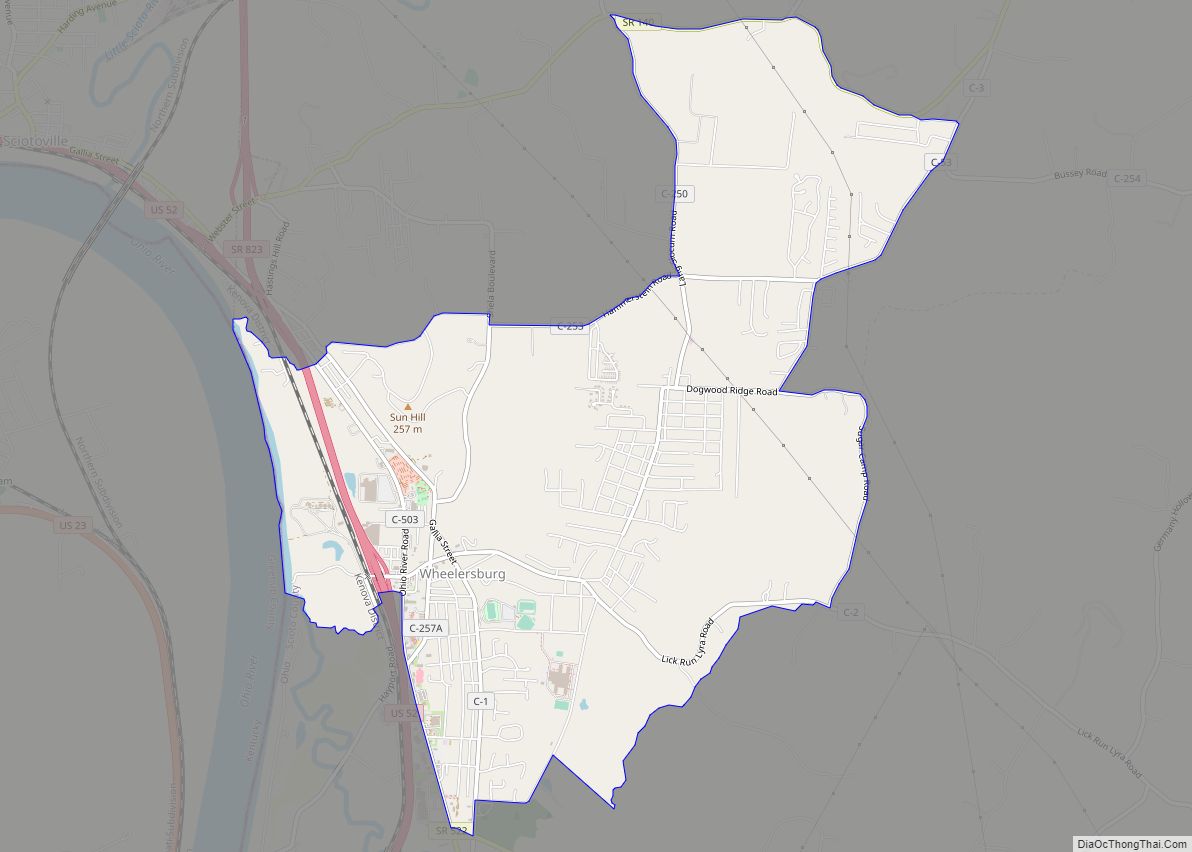
Wheelersburg is a census-designated place (CDP) in Scioto County, Ohio, United States. It lies along the northern banks of the Ohio River in southern Ohio. Wheelersburg is approximately 7 miles (11 km) east of Portsmouth and 14 miles (23 km) west of Ironton. It is in Porter Township. The population was 6,437 at the 2010 census. Wheelersburg ... Read more
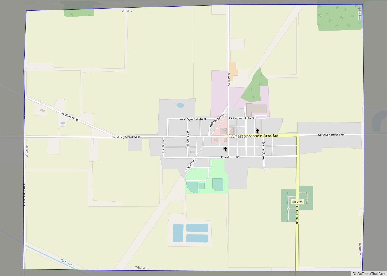
Wharton is a village in Wyandot County, Ohio, United States. The population was 358 at the 2010 census. Wharton village overview: Name: Wharton village LSAD Code: 47 LSAD Description: village (suffix) State: Ohio County: Wyandot County Total Area: 1.26 sq mi (3.25 km²) Land Area: 1.26 sq mi (3.25 km²) Water Area: 0.00 sq mi (0.00 km²) Total Population: 328 Population Density: 260.94/sq mi (100.78/km²) ... Read more
