Whitehall is a city in the U.S state of Ohio, located 6.6 miles (10.6 km) east of the state capital of Columbus in Franklin County. Whitehall had a population of 20,127 in the 2020 census. Founded in 1947, Whitehall is a growing suburb of Columbus. Per the U.S. Census Bureau, Whitehall’s population is culturally and racially diverse, with over 50% of the population identifying as black, African American, Hispanic or Latino, with over 20% speaking a language other than English at home.
The median home value is $84,800 and the median household income is $41,022. Whitehall is home to the headquarters of major companies such as Heartland Bank, The Wasserstrom Company and Priority Designs. The current mayor of Whitehall is Kim Maggard. Maggard was re-elected for a third term in 2019.
| Name: | Whitehall city |
|---|---|
| LSAD Code: | 25 |
| LSAD Description: | city (suffix) |
| State: | Ohio |
| County: | Franklin County |
| Elevation: | 794 ft (242 m) |
| Total Area: | 5.31 sq mi (13.74 km²) |
| Land Area: | 5.28 sq mi (13.67 km²) |
| Water Area: | 0.03 sq mi (0.07 km²) |
| Total Population: | 20,127 |
| Population Density: | 3,813.38/sq mi (1,472.29/km²) |
| ZIP code: | 43213 |
| Area code: | 614 and 380 |
| FIPS code: | 3984742 |
| GNISfeature ID: | 1049324 |
| Website: | https://www.whitehall-oh.us/ |
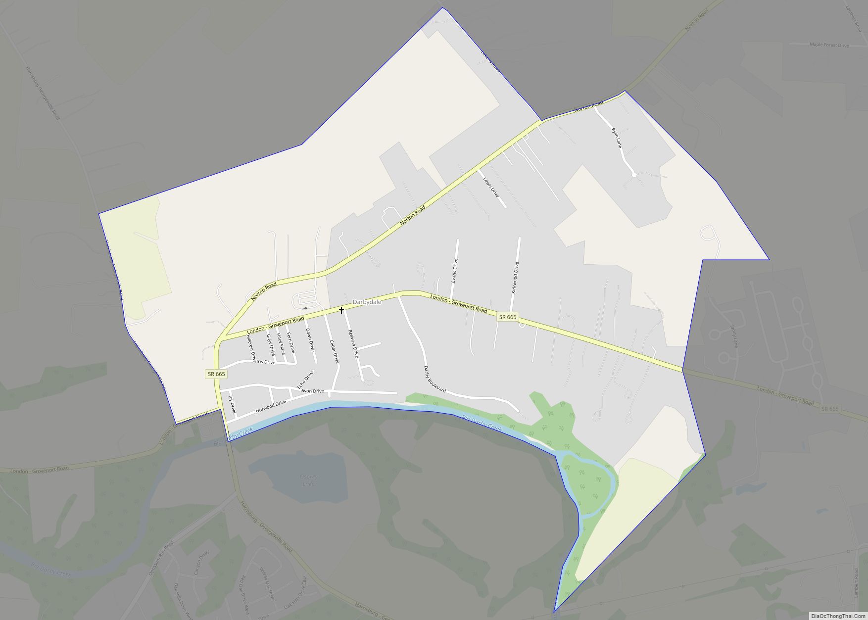
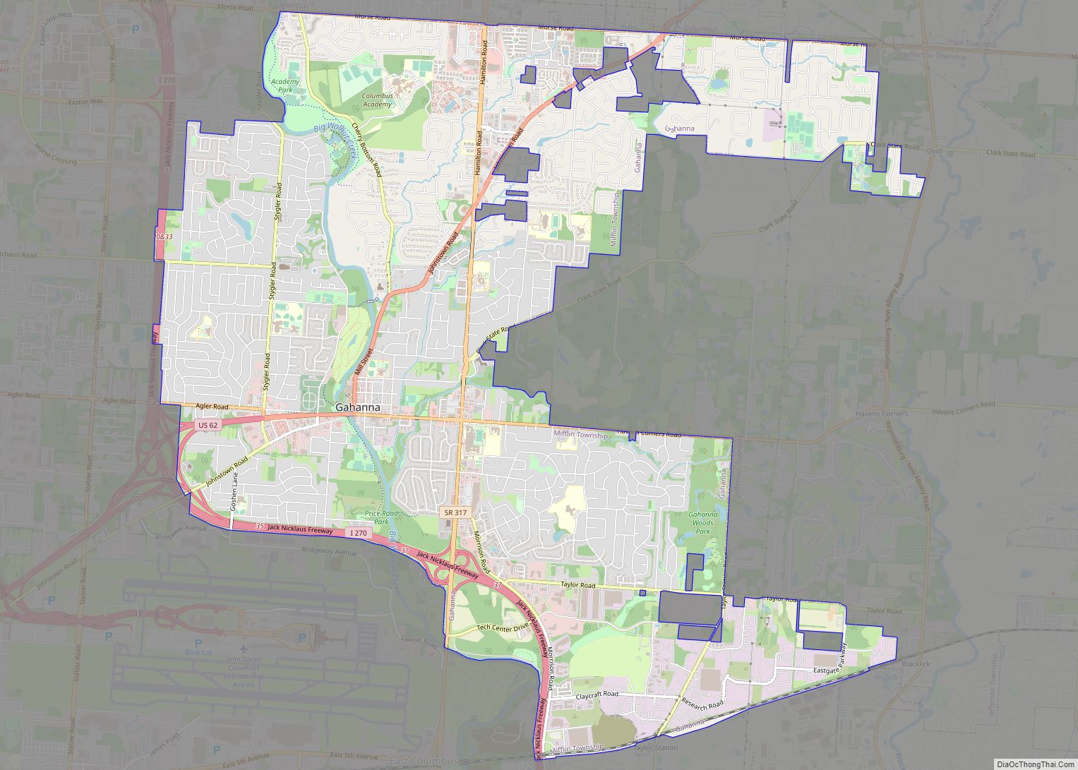
Online Interactive Map
Click on ![]() to view map in "full screen" mode.
to view map in "full screen" mode.
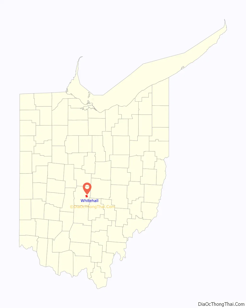
Whitehall location map. Where is Whitehall city?

History
In the 1940s and 1950s, Whitehall still had working farms, and it was a mixed income area with mainly small houses. It was still a village in the 1940s, and residents filed for incorporation in 1947. In 1952 the borders expanded east to the country club and Big Walnut Creek. Rapid growth meant that it became a city during the 1950s. The first shopping center strip in the country was built and opened in Whitehall in 1948, called Casto’s Town and Country. The National Road passed through Whitehall.
In August 1970, two department stores in Whitehall were bombed as part of a robbery scheme. William Harris was arrested after fleeing the scene. He was pursued and captured by motorcyclist Roger Penwell. Penwell pursued despite gunfire. He received the Carnegie Hero Fund’s Bronze Medal and was amply rewarded for heroism. Penwell’s actions enabled police to locate more of Harris’s bombs, saving property and many lives. Harris was a 1st lieutenant in the United States Air Force.
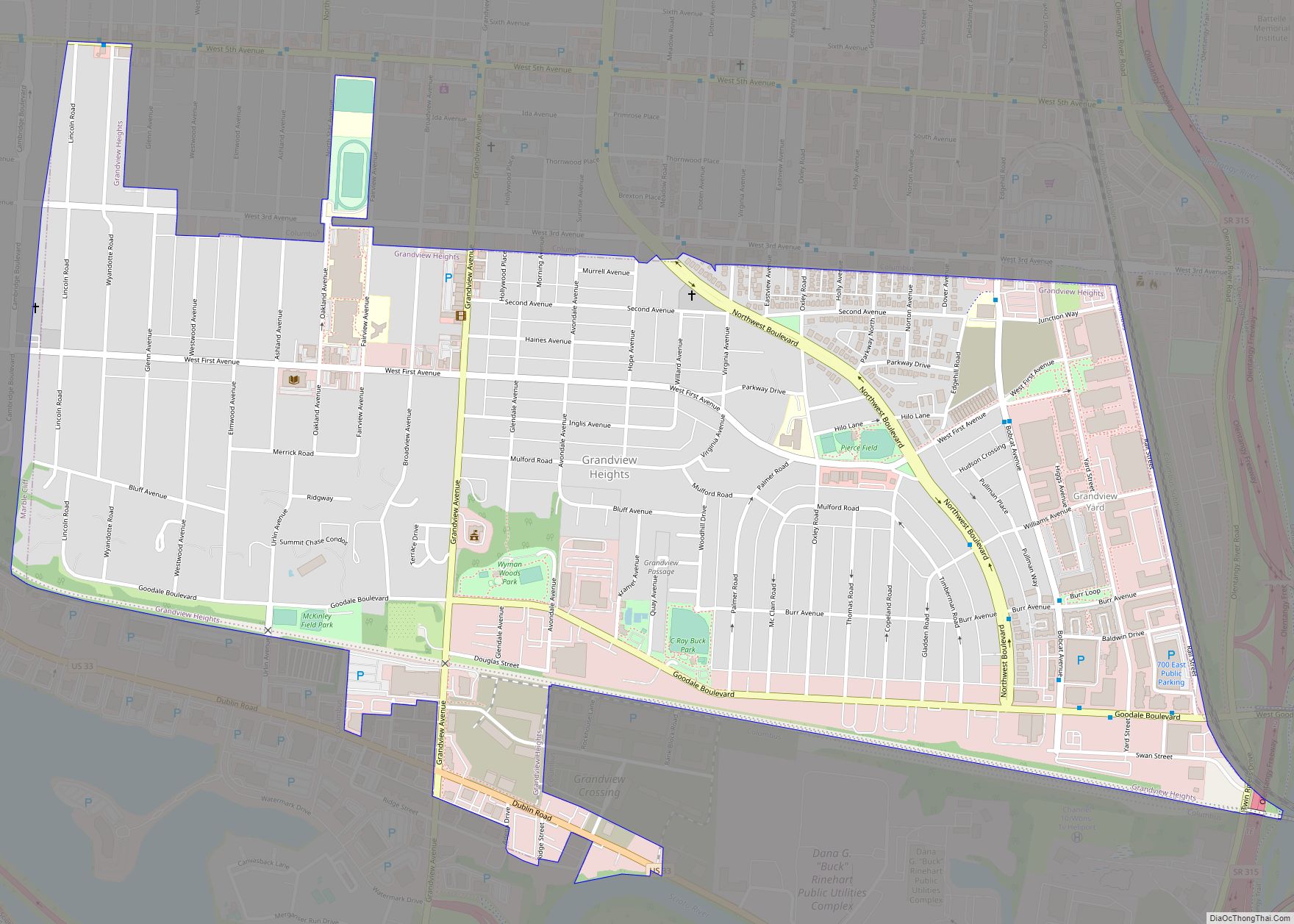
Whitehall Road Map

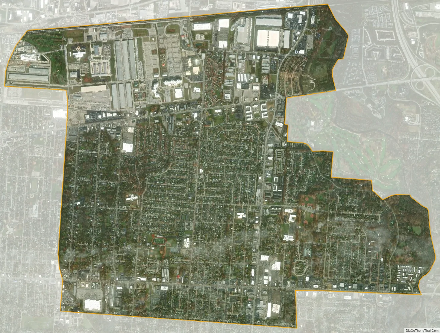
Whitehall city Satellite Map
Geography
Whitehall is located at 39°57′49″N 82°52′57″W / 39.96361°N 82.88250°W / 39.96361; -82.88250 (39.963664, -82.882374).
According to the United States Census Bureau, the city has a total area of 5.29 square miles (13.70 km), of which 5.26 square miles (13.62 km) is land and 0.03 square miles (0.08 km) is water. Big Walnut Creek flows through Whitehall.
Like the nearby city of Bexley and villages of Minerva Park and Valleyview, Whitehall is an enclave of Columbus.
Whitehall is a suburban community of Columbus, Ohio in Franklin County. It is in close proximity to John Glenn Columbus International Airport. The 338th Army Band is stationed there at the Defense Supply Center, Columbus.
The city has three elementary schools (Etna Road, Kae Avenue, and Beechwood), one junior high school (Rosemore), and one high school (Whitehall-Yearling High School). Big Walnut Creek along with the Columbus Country Club (part of the City of Columbus) define the eastern border of Whitehall.
See also
Map of Ohio State and its subdivision:- Adams
- Allen
- Ashland
- Ashtabula
- Athens
- Auglaize
- Belmont
- Brown
- Butler
- Carroll
- Champaign
- Clark
- Clermont
- Clinton
- Columbiana
- Coshocton
- Crawford
- Cuyahoga
- Darke
- Defiance
- Delaware
- Erie
- Fairfield
- Fayette
- Franklin
- Fulton
- Gallia
- Geauga
- Greene
- Guernsey
- Hamilton
- Hancock
- Hardin
- Harrison
- Henry
- Highland
- Hocking
- Holmes
- Huron
- Jackson
- Jefferson
- Knox
- Lake
- Lake Erie
- Lawrence
- Licking
- Logan
- Lorain
- Lucas
- Madison
- Mahoning
- Marion
- Medina
- Meigs
- Mercer
- Miami
- Monroe
- Montgomery
- Morgan
- Morrow
- Muskingum
- Noble
- Ottawa
- Paulding
- Perry
- Pickaway
- Pike
- Portage
- Preble
- Putnam
- Richland
- Ross
- Sandusky
- Scioto
- Seneca
- Shelby
- Stark
- Summit
- Trumbull
- Tuscarawas
- Union
- Van Wert
- Vinton
- Warren
- Washington
- Wayne
- Williams
- Wood
- Wyandot
- Alabama
- Alaska
- Arizona
- Arkansas
- California
- Colorado
- Connecticut
- Delaware
- District of Columbia
- Florida
- Georgia
- Hawaii
- Idaho
- Illinois
- Indiana
- Iowa
- Kansas
- Kentucky
- Louisiana
- Maine
- Maryland
- Massachusetts
- Michigan
- Minnesota
- Mississippi
- Missouri
- Montana
- Nebraska
- Nevada
- New Hampshire
- New Jersey
- New Mexico
- New York
- North Carolina
- North Dakota
- Ohio
- Oklahoma
- Oregon
- Pennsylvania
- Rhode Island
- South Carolina
- South Dakota
- Tennessee
- Texas
- Utah
- Vermont
- Virginia
- Washington
- West Virginia
- Wisconsin
- Wyoming