Map of Yeager town
Yeager is a town in Hughes County, Oklahoma, United States. The population was 75 at the 2010 census. Developed in the early 1900s, the town grew with the help of an oil and gas field, but has always had a low population. Yeager town overview: Name: Yeager town LSAD Code: 43 LSAD Description: town (suffix) ... Read more
Map of Yeager town
Map of Yale city, Oklahoma
Yale is a city in Payne County, Oklahoma, United States. The population was 1,059 at the 2020 census, a decline of 13.6 percent from the figure of 1,227 in 2010. Yale city overview: Name: Yale city LSAD Code: 25 LSAD Description: city (suffix) State: Oklahoma County: Payne County Elevation: 810 ft (250 m) Total Area: 0.92 sq mi (2.37 km²) ... Read more
Map of Yale city, Oklahoma
Map of Wynona town
Wynona is an incorporated town in central Osage County, Oklahoma, United States. It was founded by a local Osage-Cherokee rancher, Antoine Rogers, in 1903. The population was 437 at the 2010 census, a 17.7 percent decline from 531 in 2000. Wynona town overview: Name: Wynona town LSAD Code: 43 LSAD Description: town (suffix) State: Oklahoma ... Read more
Map of Wynona town
Map of Wynnewood city
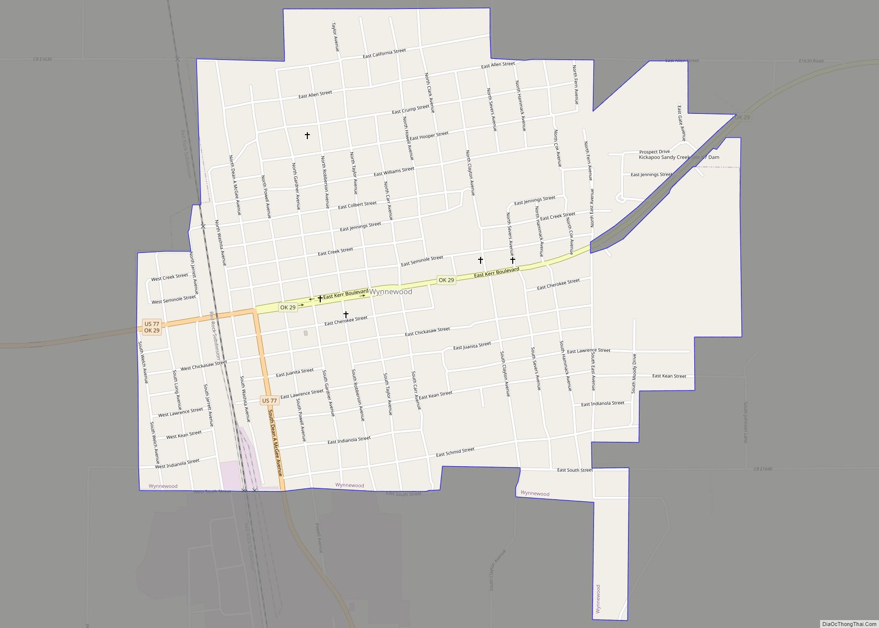
Wynnewood (/ˈwɪniwʊd/ WIH-nee-wood) is a city in Garvin County, Oklahoma, United States. It is 67 miles (108 km) south of Oklahoma City. The population was 2,212 at the 2010 U.S. census, compared to 2,367 in 2000. Located in what was then the Chickasaw Nation of Indian Territory, it began as a village called “Walner” in 1886, ... Read more
Map of Wynnewood city
Map of Zion CDP, Oklahoma
Zion is a census-designated place (CDP) in Adair County, Oklahoma, United States. The population was 41 at the 2010 census. Zion CDP overview: Name: Zion CDP LSAD Code: 57 LSAD Description: CDP (suffix) State: Oklahoma County: Adair County Elevation: 1,030 ft (314 m) Total Area: 1.03 sq mi (2.66 km²) Land Area: 1.02 sq mi (2.65 km²) Water Area: 0.00 sq mi (0.01 km²) Total Population: ... Read more
Map of Zion CDP, Oklahoma