Wright City is a town in McCurtain County, Oklahoma, United States, along the Little River. The population was 762 at the 2010 census, a decline of slightly more than 10 percent from the figure of 848 recorded in 2000. Wright City hosts one of the oldest continuous rodeos in Oklahoma, known as Little Cheyenne, held each July 1 through 4. In 1933 a few local cowboys started it as a rodeo, barbecue, and dance. Since 1935, the American Legion, William Wright Post Number 74, has sponsored the event.
Wright City was once home to a Weyerhaeuser plant; it closed permanently in mid March 2009 due to the slowed lumber industry. The company sold its cardboard product line to International Paper Corporation. Weyerhaeuser was Wright City’s economic power engine, and its closing affected 165 employees.
| Name: | Wright City town |
|---|---|
| LSAD Code: | 43 |
| LSAD Description: | town (suffix) |
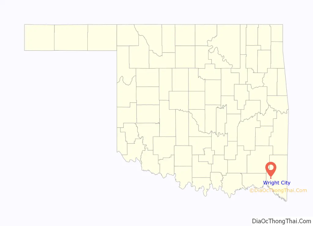
| State: | Oklahoma |
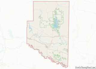
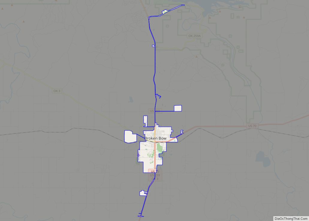
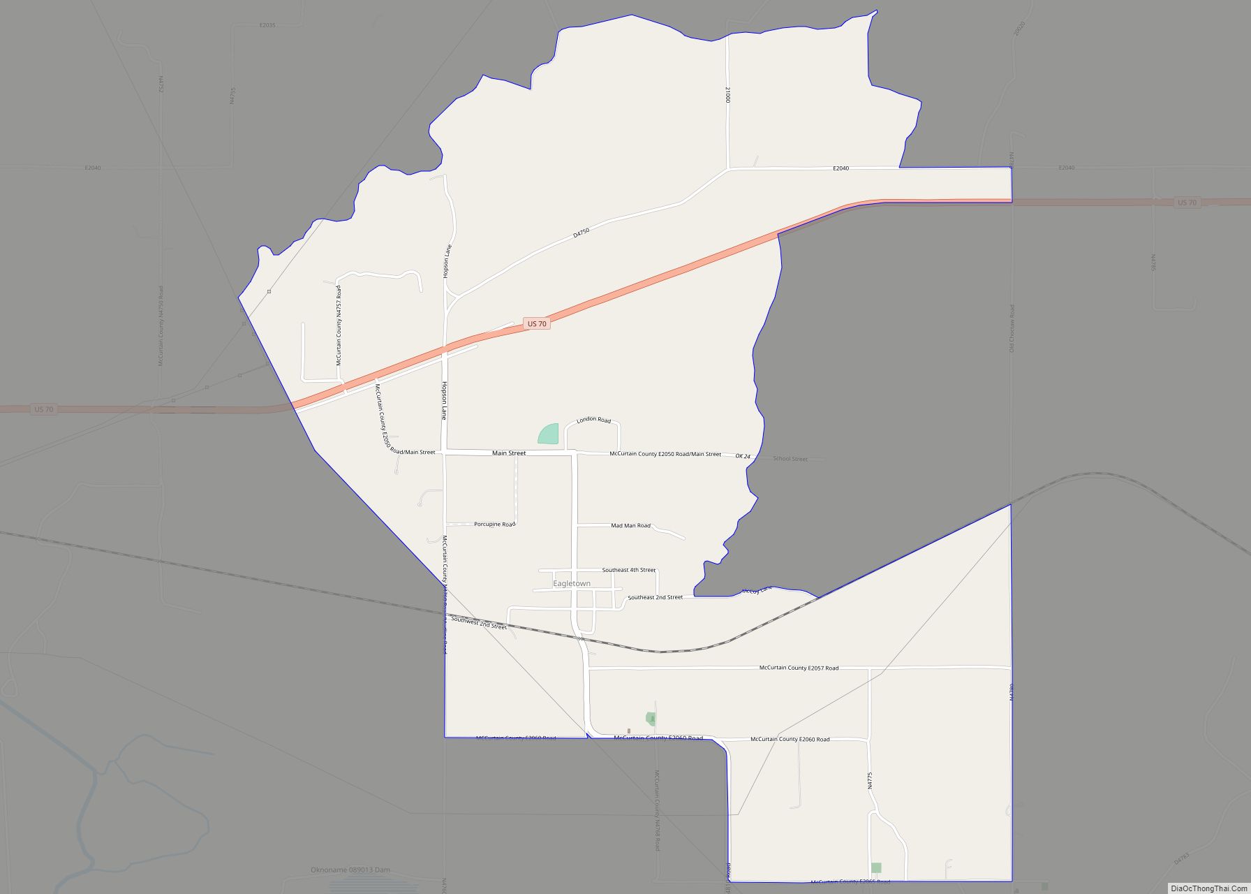
| County: | McCurtain County |
| Elevation: | 397 ft (121 m) |
| Total Area: | 0.89 sq mi (2.30 km²) |
| Land Area: | 0.89 sq mi (2.29 km²) |
| Water Area: | 0.00 sq mi (0.01 km²) |
| Total Population: | 616 |
| Population Density: | 696.05/sq mi (268.59/km²) |
| ZIP code: | 74766 |
| Area code: | 580 |
| FIPS code: | 4082200 |
| GNISfeature ID: | 1100022 |
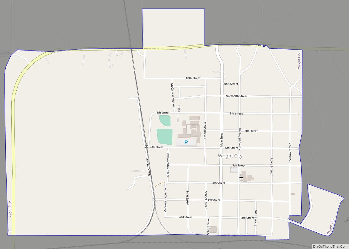
Online Interactive Map
Click on ![]() to view map in "full screen" mode.
to view map in "full screen" mode.
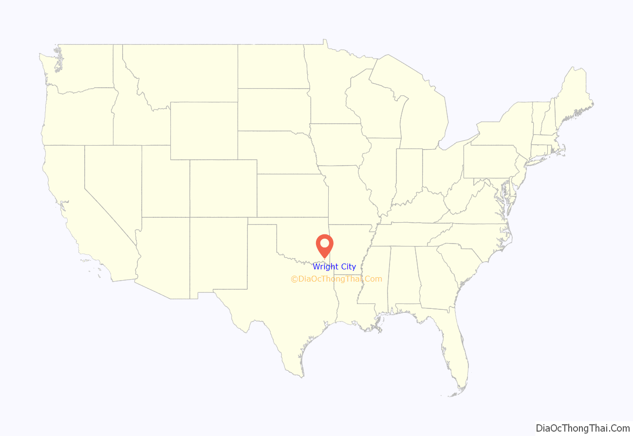
Wright City location map. Where is Wright City town?
History
Founding
Wright City, formerly known as Bismark and Wright, is located 10 miles (16 km) northeast of Valliant and 2 miles (3.2 km) north of Little River on State Highway 98 in western McCurtain County. The Choctaw Lumber Company, a subsidiary of the Dierks Lumber and Coal Company, founded the town circa 1909 as the site for a major processing plant that utilized abundant timber harvested from the region’s virgin forests.
At the time of its founding, the community now known as Wright City was located in Towson County, a part of the Apukshunnubbee District, one of three administrative super-regions comprising the Choctaw Nation.
Etymology
On March 24, 1910, a post office charter was issued for Bismark, a name chosen by the Dierks brothers, the company founders, for a Nebraska town where they formerly operated a lumber outlet. The name of the town and post office changed to Wright during World War I because of public association of the Bismark name with that of the former German chancellor, Otto von Bismarck, despite the discrepancy in spelling.
The new name was chosen to honor William Wiley Wright, the county’s first war casualty. On May 18, 1920, the name was altered to Wright City.
Company town
The “company town” included a sawmill, planer, railroad maintenance shops, housing stores, a bank, hotel,The Choctaw motion picture theater, a high school with athletic teams known as the LumberJax, an ice factory, and provision for fire and police protection. The lumber conglomerate also provided land for construction of a school and churches. The company, then known as Dierks Forests, Inc., divested itself of residential and other properties unrelated to the primary mission on August 13, 1965. In 1966 the town incorporated and elected its first officials. No longer just a “mill town,” citizens took the initiative to create an independent, distinctive municipality. A business district was developed, utilities were upgraded and expanded, and new schools, a community building, and a medical center were built.
In 1969, the Weyerhaeuser Company of Tacoma, Washington, purchased the Dierks’s holdings, including the Wright City production complex and continued the operations, which remained the primary economic base of the community until March 2009 when all operations of the mill ceased due to low demand for lumber and the worsening economy. The town population initially was included in a large census tract and not counted separately until 1950 when the residents numbered 1,121. In the 1920s the population was estimated to be less than five hundred. In 1980 the count stood at 1,168 but by 1990 had decreased to 836. At the turn of the twenty-first century the town had 848 residents. The 2010 census showed a further decline to 766.
“Pig tale”
In 1956, events in the city raised the eyebrows of newspaper readers around the country. A drought drove pig-herding squatters from nearby hills to release seven or eight hundred hogs – all of them “rail thin” and starving – to graze near the city. Razorbacks ate flower gardens and had to be kicked out of the drugstore. In the Methodist Church, a sermon was stopped by the noise of nine pigs fighting in the basement.
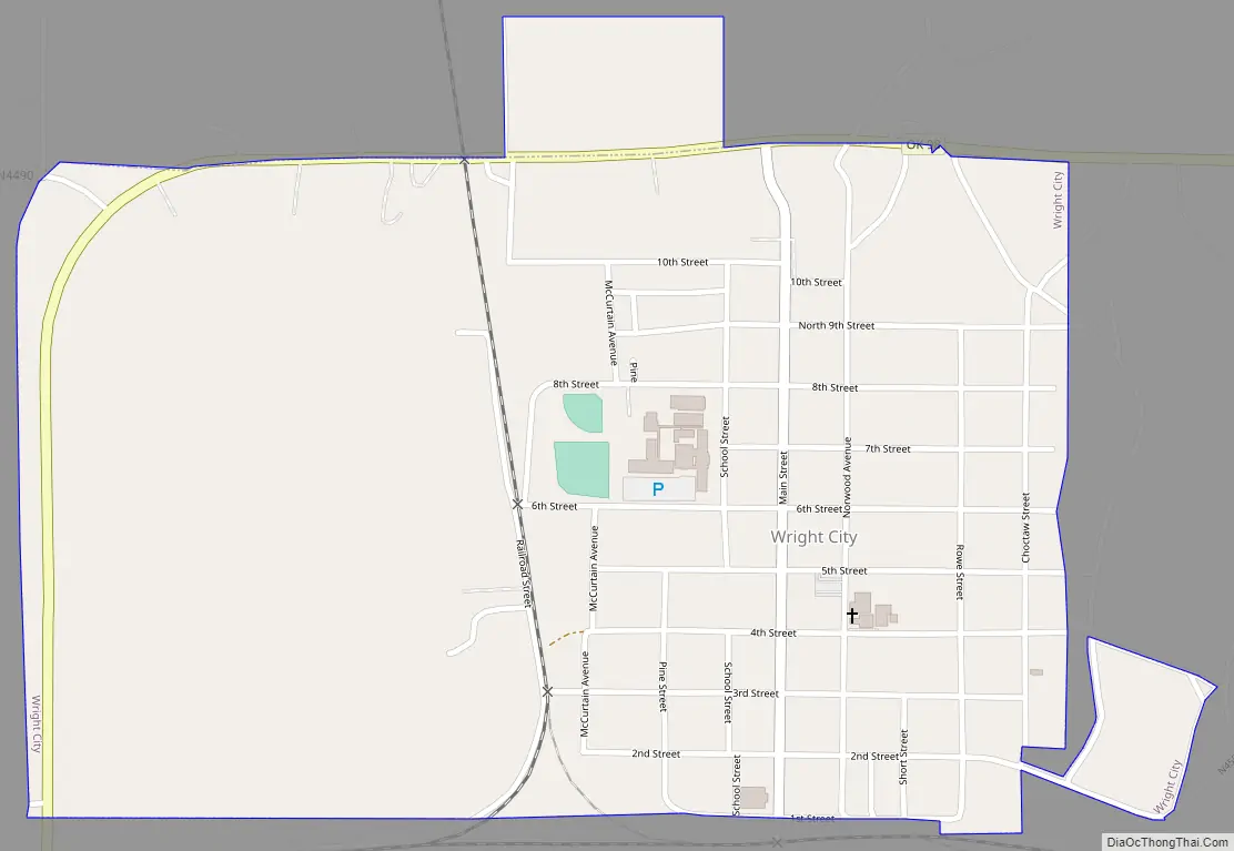
Wright City Road Map
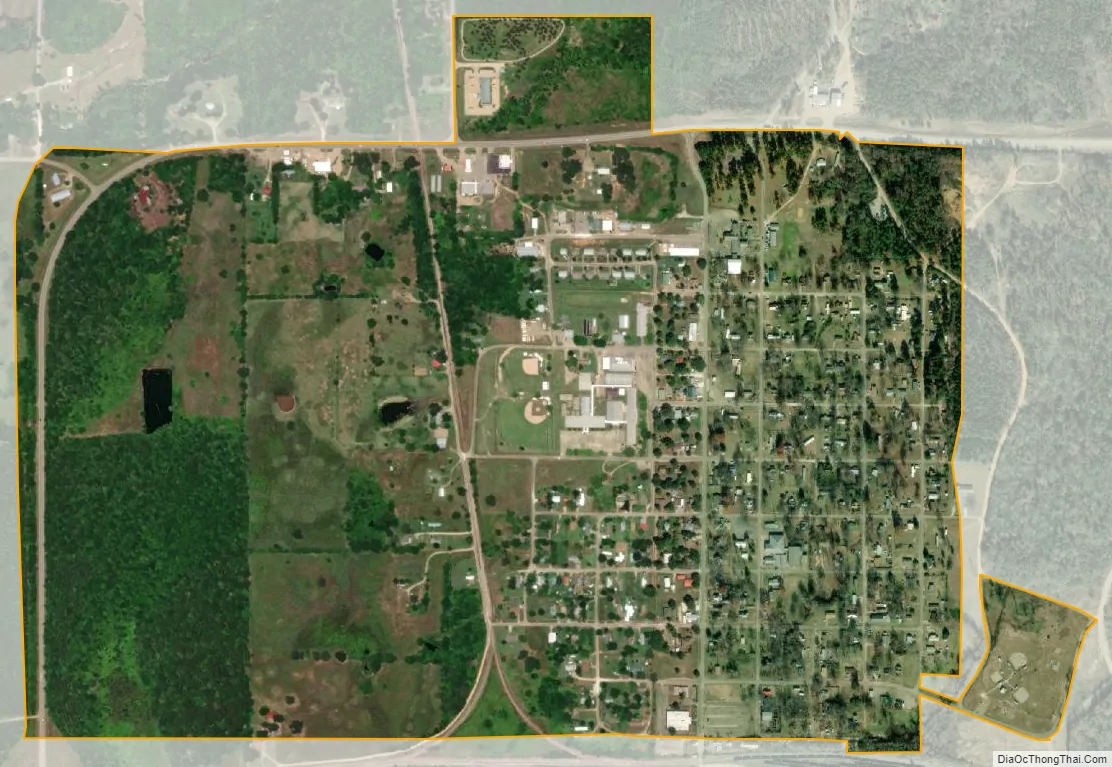
Wright City city Satellite Map
Geography
Wright City is located at 34°3′50″N 95°0′13″W / 34.06389°N 95.00361°W / 34.06389; -95.00361 (34.063789, -95.003551).
According to the United States Census Bureau, the town has a total area of 0.8 square miles (2.1 km), all land.
See also
Map of Oklahoma State and its subdivision:- Adair
- Alfalfa
- Atoka
- Beaver
- Beckham
- Blaine
- Bryan
- Caddo
- Canadian
- Carter
- Cherokee
- Choctaw
- Cimarron
- Cleveland
- Coal
- Comanche
- Cotton
- Craig
- Creek
- Custer
- Delaware
- Dewey
- Ellis
- Garfield
- Garvin
- Grady
- Grant
- Greer
- Harmon
- Harper
- Haskell
- Hughes
- Jackson
- Jefferson
- Johnston
- Kay
- Kingfisher
- Kiowa
- Latimer
- Le Flore
- Lincoln
- Logan
- Love
- Major
- Marshall
- Mayes
- McClain
- McCurtain
- McIntosh
- Murray
- Muskogee
- Noble
- Nowata
- Okfuskee
- Oklahoma
- Okmulgee
- Osage
- Ottawa
- Pawnee
- Payne
- Pittsburg
- Pontotoc
- Pottawatomie
- Pushmataha
- Roger Mills
- Rogers
- Seminole
- Sequoyah
- Stephens
- Texas
- Tillman
- Tulsa
- Wagoner
- Washington
- Washita
- Woods
- Woodward
- Alabama
- Alaska
- Arizona
- Arkansas
- California
- Colorado
- Connecticut
- Delaware
- District of Columbia
- Florida
- Georgia
- Hawaii
- Idaho
- Illinois
- Indiana
- Iowa
- Kansas
- Kentucky
- Louisiana
- Maine
- Maryland
- Massachusetts
- Michigan
- Minnesota
- Mississippi
- Missouri
- Montana
- Nebraska
- Nevada
- New Hampshire
- New Jersey
- New Mexico
- New York
- North Carolina
- North Dakota
- Ohio
- Oklahoma
- Oregon
- Pennsylvania
- Rhode Island
- South Carolina
- South Dakota
- Tennessee
- Texas
- Utah
- Vermont
- Virginia
- Washington
- West Virginia
- Wisconsin
- Wyoming