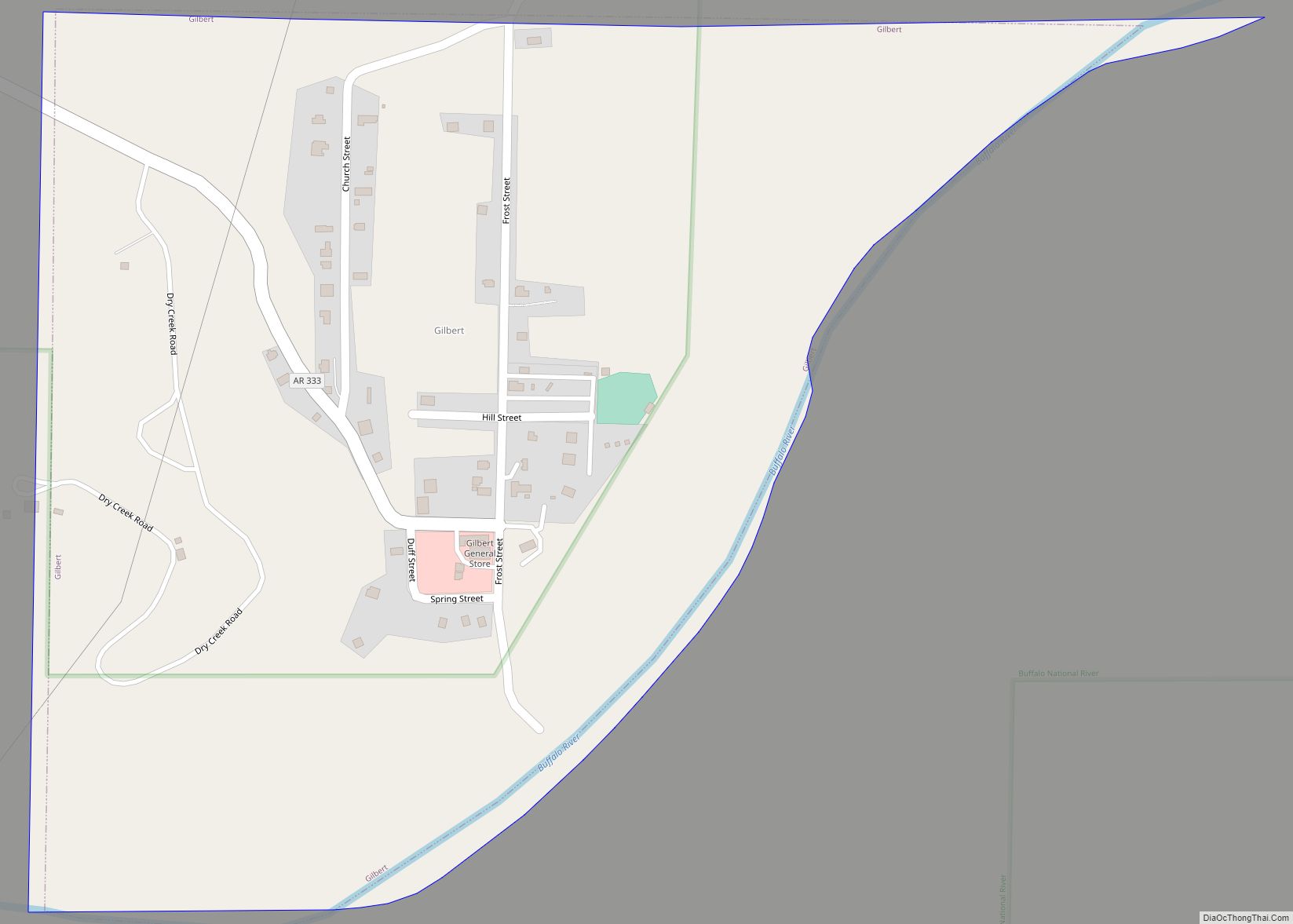
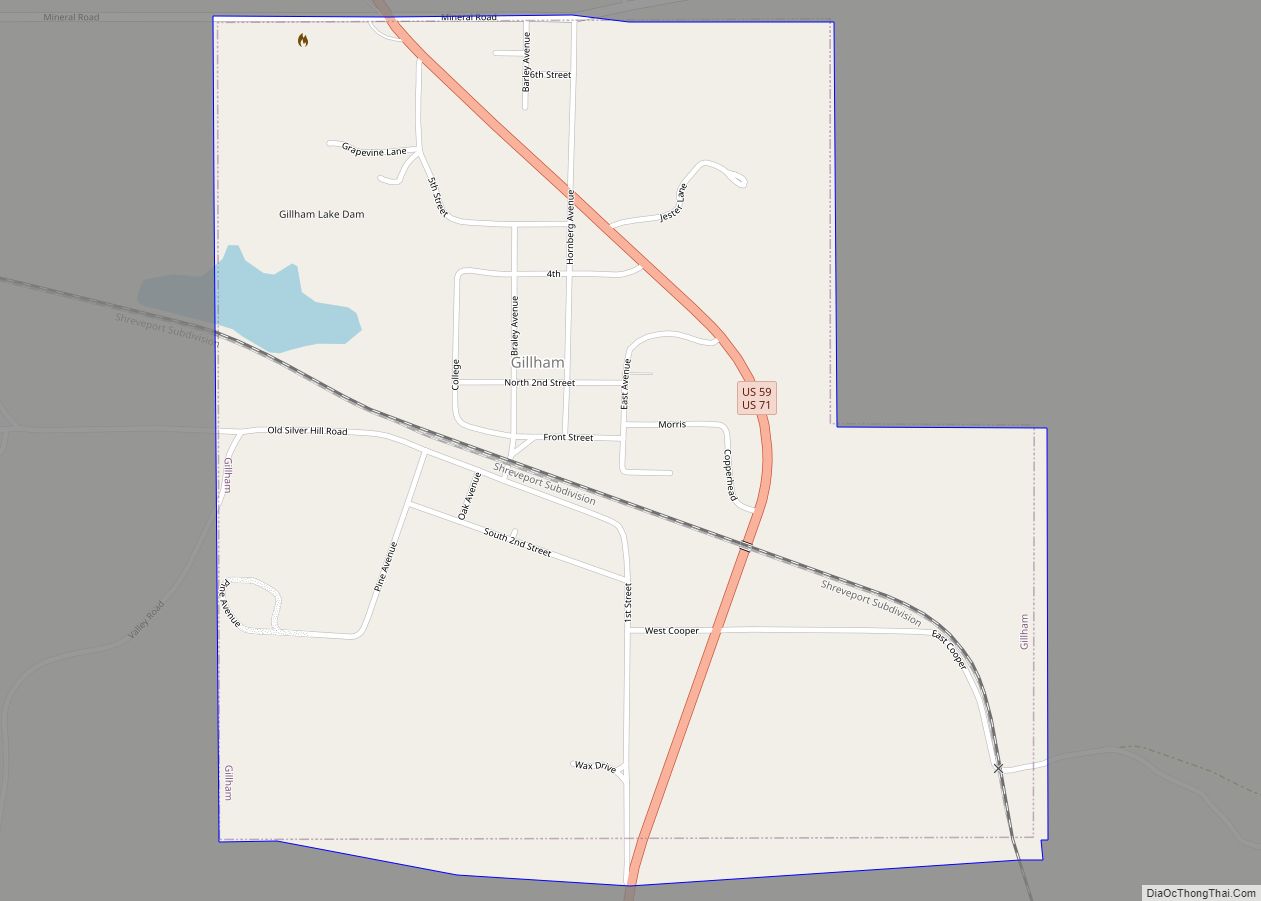
Map of Gibson CDP, Arkansas
Gibson is a census-designated place (CDP) in Pulaski County, Arkansas, United States. The population was 3,543 at the 2010 census. It is part of the Little Rock–North Little Rock–Conway Metropolitan Statistical Area. Gibson contains the silver deposits that gave North Little Rock its older name of Argenta (derived from the Latin word for silver). Gibson ... Read more
Map of Gibson CDP, Arkansas
Map of Georgetown town, Arkansas
Georgetown is a town in southeastern White County, Arkansas, United States, overlooking the White River. First settled in 1789 before the Louisiana Purchase, the community is the oldest continuously settled area in Arkansas. Georgetown town overview: Name: Georgetown town LSAD Code: 43 LSAD Description: town (suffix) State: Arkansas County: White County Founded: 1789 Incorporated: 1986 ... Read more
Map of Georgetown town, Arkansas
Map of Gilmore city, Arkansas
Gilmore is a city in Crittenden County, Arkansas, United States. Per the 2020 census, the population was 176. Gilmore city overview: Name: Gilmore city LSAD Code: 25 LSAD Description: city (suffix) State: Arkansas County: Crittenden County Elevation: 223 ft (68 m) Total Area: 13.54 sq mi (35.07 km²) Land Area: 13.52 sq mi (35.01 km²) Water Area: 0.03 sq mi (0.07 km²) Total Population: 176 Population ... Read more
Map of Gilmore city, Arkansas
Map of Gillham town
Gillham is a town in Sevier County, Arkansas, United States. The population was 188 at the 2000 census. It is located six miles from Gillham Lake. Gillham town overview: Name: Gillham town LSAD Code: 43 LSAD Description: town (suffix) State: Arkansas County: Sevier County Elevation: 742 ft (226 m) Total Area: 0.93 sq mi (2.42 km²) Land Area: 0.92 sq mi (2.38 km²) ... Read more
Map of Gillham town
Map of Gillett city, Arkansas
Gillett is a city in Arkansas County, Arkansas, United States. Its population was 691 at the 2010 census. Gillett is the home of the annual Gillett Coon Supper. The Arkansas Post National Memorial is located southeast of the town. The largest alligator ever killed in Arkansas was harpooned near Gillett on September 19, 2010. The ... Read more
Map of Gillett city, Arkansas
Map of Gosnell city
Gosnell is a city in northern Mississippi County, Arkansas, United States. The population was 2,910 at the 2020 census, down from 3,548 at the 2010 census. Gosnell city overview: Name: Gosnell city LSAD Code: 25 LSAD Description: city (suffix) State: Arkansas County: Mississippi County Elevation: 243 ft (74 m) Total Area: 1.61 sq mi (4.18 km²) Land Area: 1.61 sq mi (4.18 km²) ... Read more
Map of Gosnell city
Map of Goshen town, Arkansas
Goshen is a city in Washington County, Arkansas, United States. The population was 2,102 at the 2020 census. It is part of the Northwest Arkansas region. According to Business Insider, it is the “most educated” city in the state of Arkansas (September 10, 2014). Goshen town overview: Name: Goshen town LSAD Code: 43 LSAD Description: ... Read more
Map of Goshen town, Arkansas
Map of Glenwood city, Arkansas
Glenwood is a city in Pike and Montgomery counties in Arkansas, United States. As of the 2020 census, its population was 2,068. The community is located along the Caddo River in the Ouachita Mountains. Glenwood was formed as a boomtown following the development of the Gurdon and Fort Smith Railroad and timber interests in the ... Read more
Map of Glenwood city, Arkansas
Map of Grannis city
Grannis is a city in Polk County, Arkansas, United States. The population was 554 at the 2010 census. Near Grannis is the Boggs Springs Youth Encampment of the American Baptist Association, a retreat of Missionary Baptist churches. Grannis city overview: Name: Grannis city LSAD Code: 25 LSAD Description: city (suffix) State: Arkansas County: Polk County ... Read more
Map of Grannis city
Map of Grady city, Arkansas
Grady is a city in Lincoln County, Arkansas, United States. The population was 449 at the 2010 census, down from 523 at the 2000 census. It is included in the Pine Bluff, Arkansas Metropolitan Statistical Area. Grady city overview: Name: Grady city LSAD Code: 25 LSAD Description: city (suffix) State: Arkansas County: Lincoln County Elevation: ... Read more
Map of Grady city, Arkansas
Map of Gould city, Arkansas
Gould is a city in Lincoln County, Arkansas, United States. Its population was 837 at the 2010 census, down from 1,305 at the 2000 census. It is included in the Pine Bluff, Arkansas Metropolitan Statistical Area. Gould is a farming community. It was named after the American railroad magnate Jay Gould. Gould city overview: Name: ... Read more
Map of Gould city, Arkansas
Map of Greenbrier city, Arkansas
Greenbrier is a city in Faulkner County, Arkansas, United States. It is part of the Little Rock–North Little Rock–Conway Metropolitan Statistical Area. The population was 5,707 at the 2020 census, up from 4,706 at the 2010 census. Greenbrier city overview: Name: Greenbrier city LSAD Code: 25 LSAD Description: city (suffix) State: Arkansas County: Faulkner County ... Read more
Map of Greenbrier city, Arkansas