Glenwood is a city in Pike and Montgomery counties in Arkansas, United States. As of the 2020 census, its population was 2,068. The community is located along the Caddo River in the Ouachita Mountains.
Glenwood was formed as a boomtown following the development of the Gurdon and Fort Smith Railroad and timber interests in the area. After the establishment of a lumber mill, the community received a post office and incorporated in April 1909. Although the community saw its major employer leave during the Great Depression, the city has again seen rapid growth in recent decades. The city also sees significant tourism related to its scenic position in the Ouachitas and among several recreational lakes.
| Name: | Glenwood city |
|---|---|
| LSAD Code: | 25 |
| LSAD Description: | city (suffix) |
| State: | Arkansas |
| County: | Montgomery County, Pike County |
| Elevation: | 600 ft (183 m) |
| Total Area: | 9.08 sq mi (23.52 km²) |
| Land Area: | 8.91 sq mi (23.08 km²) |
| Water Area: | 0.17 sq mi (0.44 km²) |
| Total Population: | 2,068 |
| Population Density: | 232.12/sq mi (89.62/km²) |
| ZIP code: | 71943 |
| Area code: | 870 |
| FIPS code: | 0527310 |
| GNISfeature ID: | 2403707 |
Online Interactive Map
Click on ![]() to view map in "full screen" mode.
to view map in "full screen" mode.
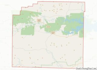
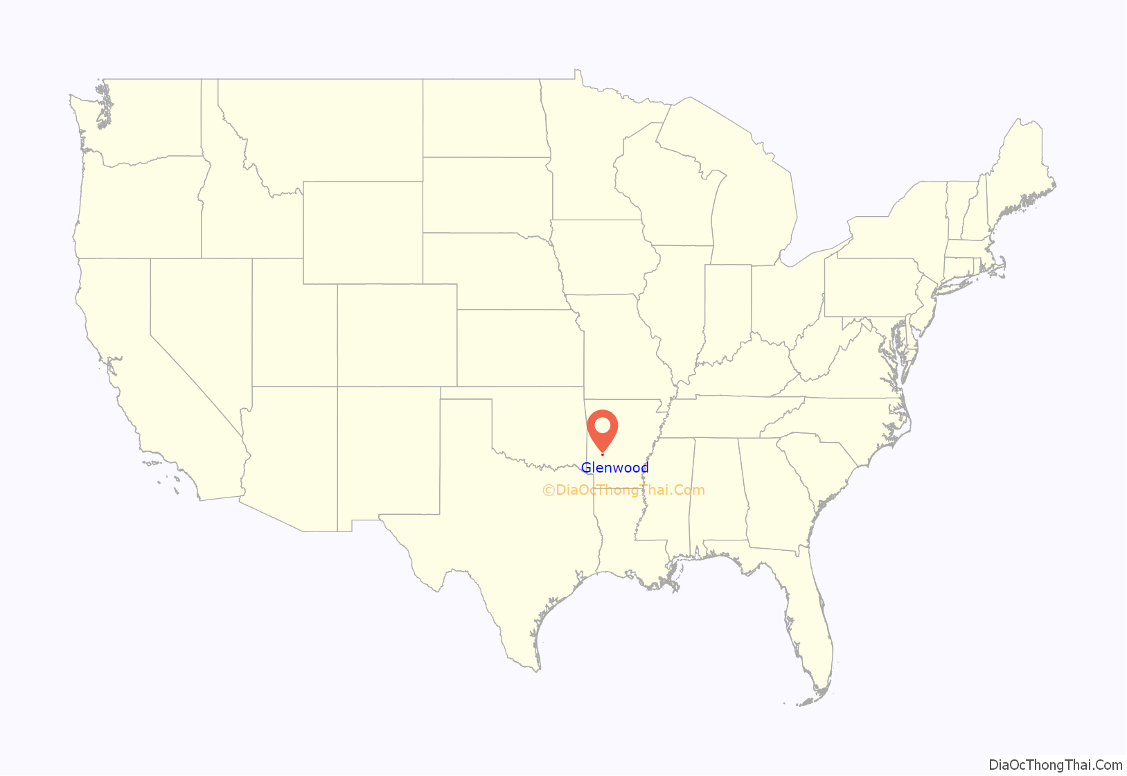
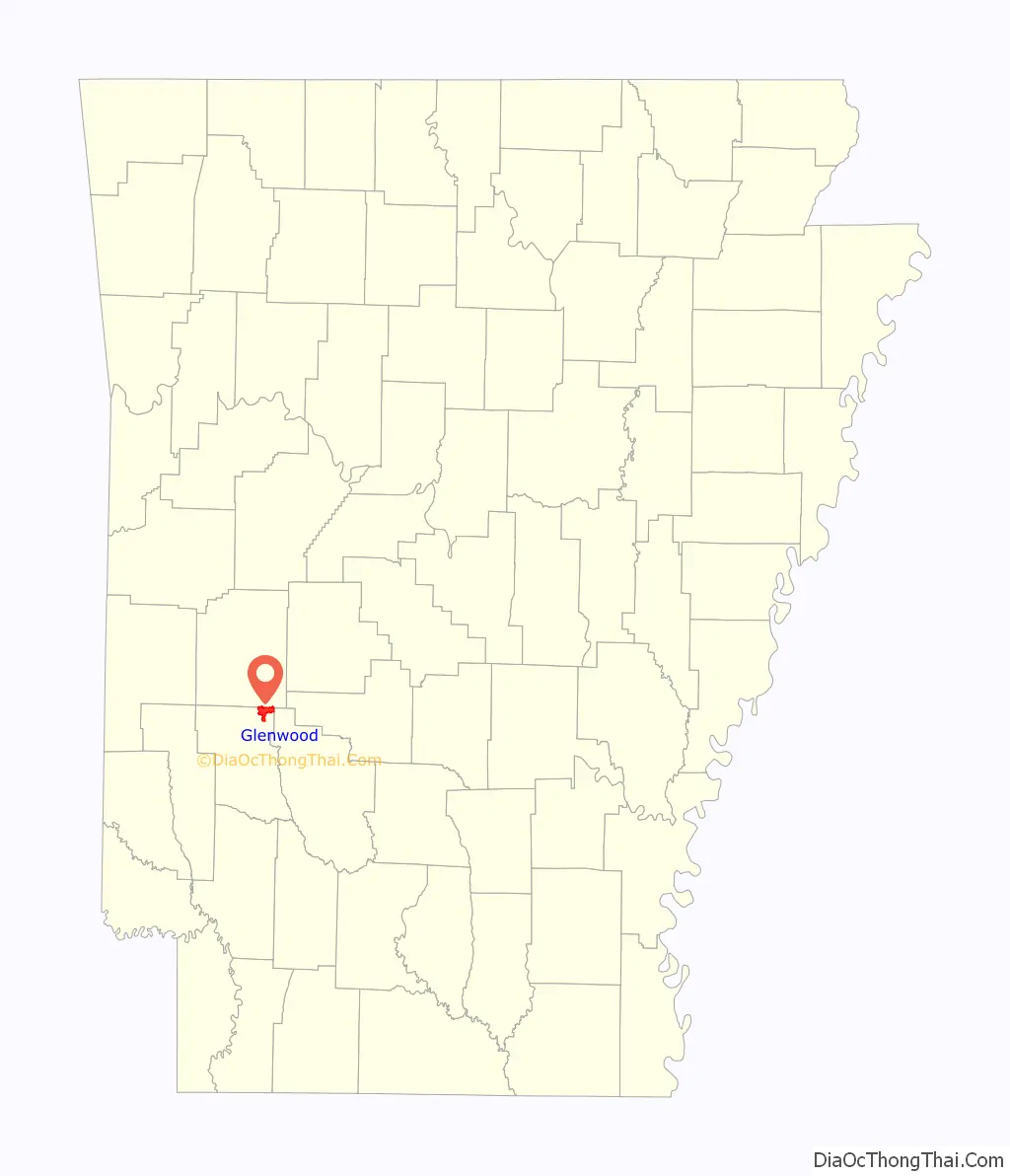
Glenwood location map. Where is Glenwood city?
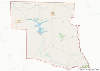
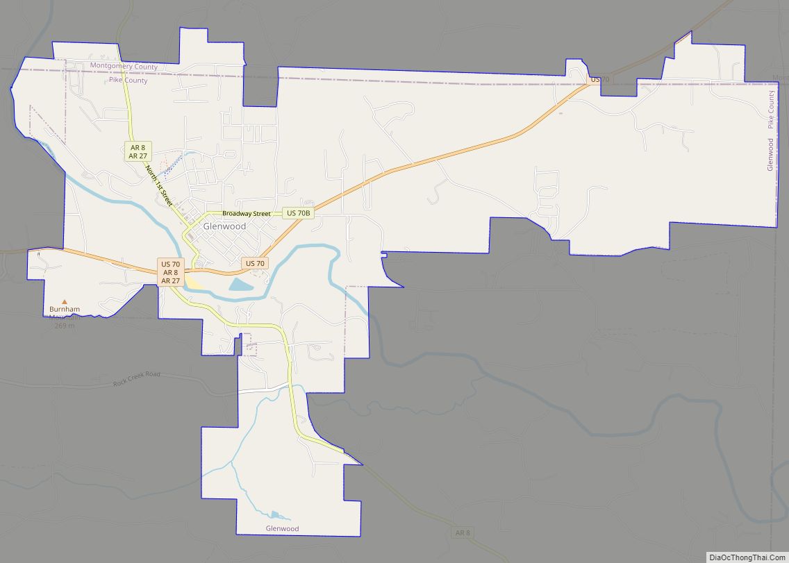
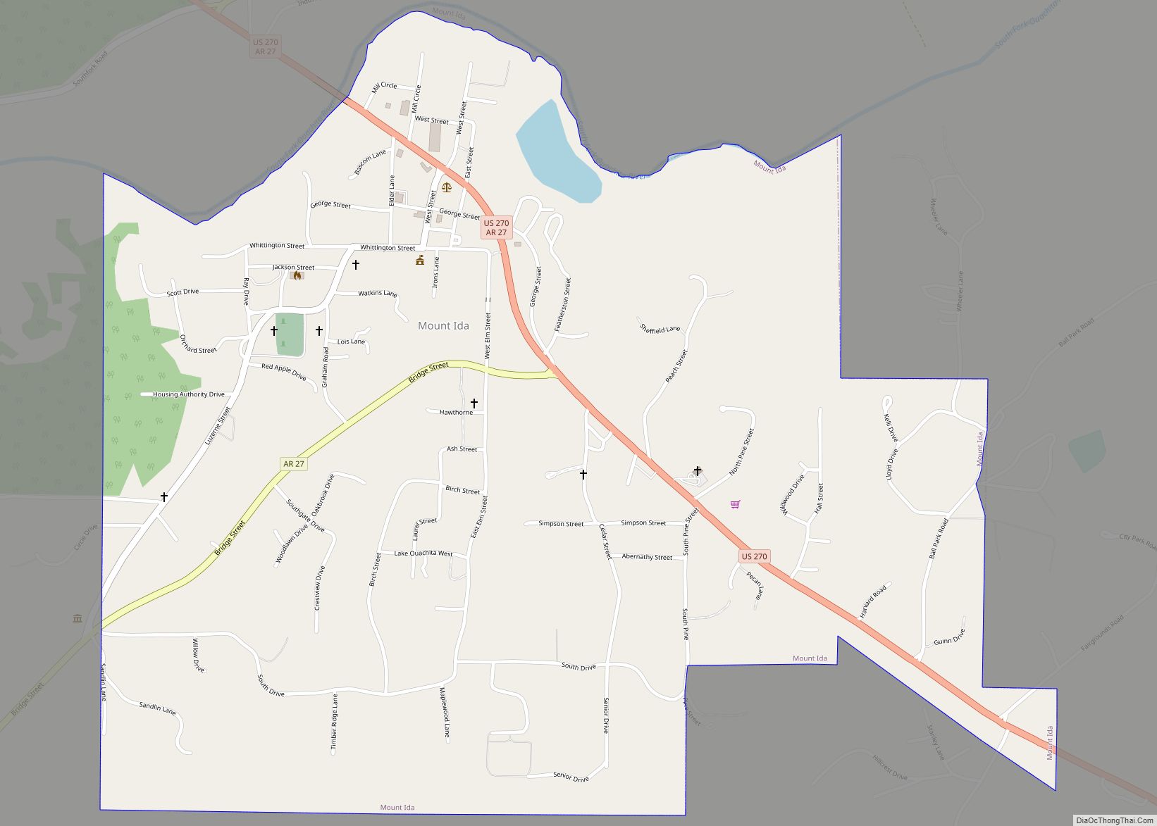
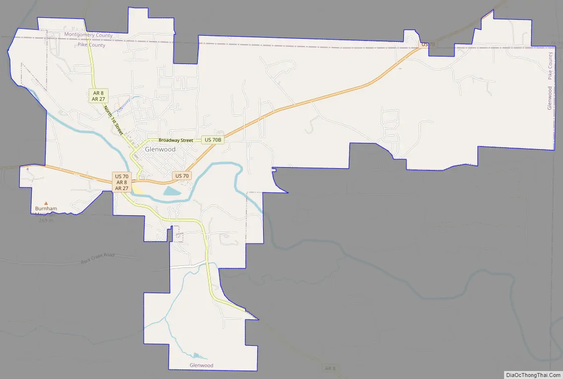
Glenwood Road Map
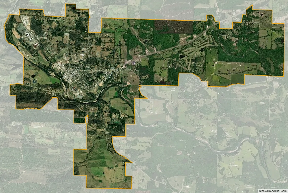
Glenwood city Satellite Map
Geography
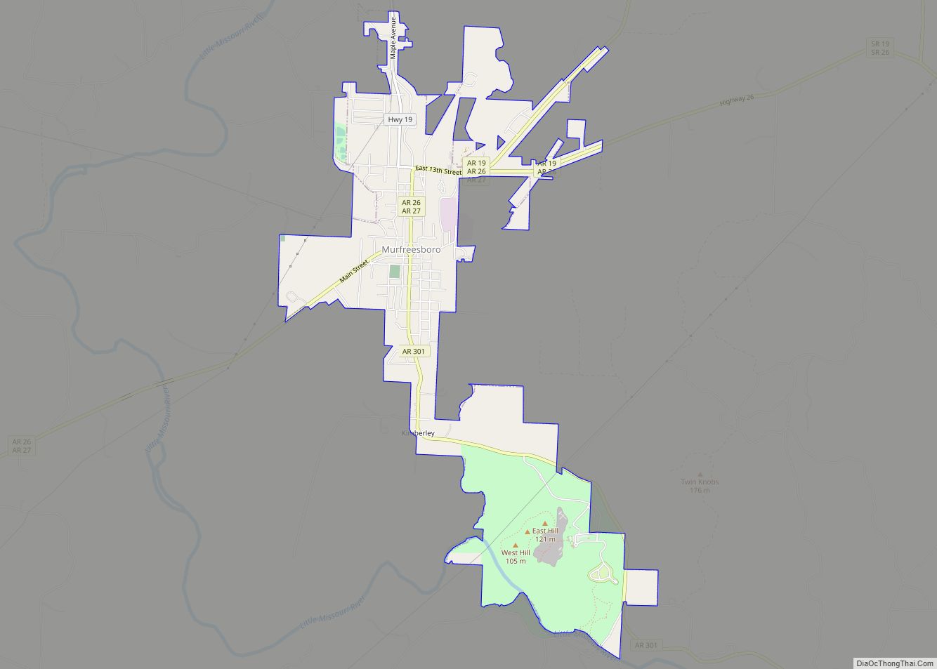
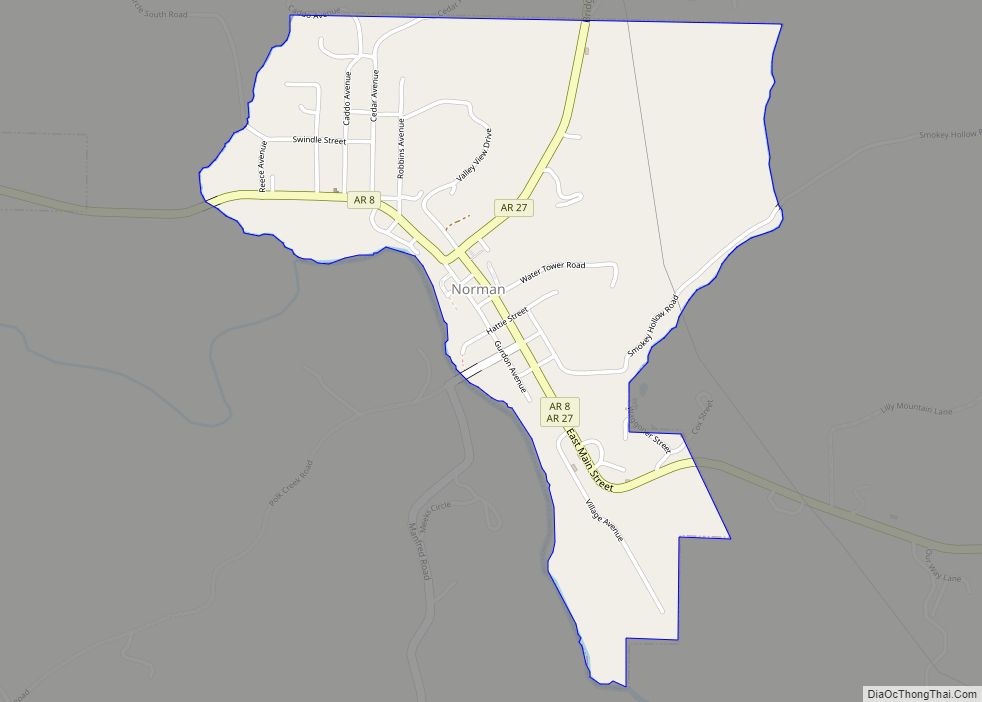
Glenwood is located in the northeast corner of Pike County at 34°19′41″N 93°32′54″W / 34.32806°N 93.54833°W / 34.32806; -93.54833 (34.328029, -93.548412). Four small portions of the city extend north into Montgomery County. U.S. Route 70 passes through the city south of its center; it leads northeast 32 miles (51 km) to Hot Springs and southwest 56 miles (90 km) to De Queen. Arkansas Highway 8 passes through the city center, leading northwest 13 miles (21 km) to Norman and southeast 35 miles (56 km) to Arkadelphia.
According to the United States Census Bureau, the city has a total area of 9.08 square miles (23.52 km), of which 8.91 square miles (23.08 km) are land and 0.17 square miles (0.44 km), or 1.89%, are water. The Caddo River passes through the west side of the city, flowing southeast to join the Ouachita River north of Arkadelphia.
See also
Map of Arkansas State and its subdivision:- Arkansas
- Ashley
- Baxter
- Benton
- Boone
- Bradley
- Calhoun
- Carroll
- Chicot
- Clark
- Clay
- Cleburne
- Cleveland
- Columbia
- Conway
- Craighead
- Crawford
- Crittenden
- Cross
- Dallas
- Desha
- Drew
- Faulkner
- Franklin
- Fulton
- Garland
- Grant
- Greene
- Hempstead
- Hot Spring
- Howard
- Independence
- Izard
- Jackson
- Jefferson
- Johnson
- Lafayette
- Lawrence
- Lee
- Lincoln
- Little River
- Logan
- Lonoke
- Madison
- Marion
- Miller
- Mississippi
- Monroe
- Montgomery
- Nevada
- Newton
- Ouachita
- Perry
- Phillips
- Pike
- Poinsett
- Polk
- Pope
- Prairie
- Pulaski
- Randolph
- Saint Francis
- Saline
- Scott
- Searcy
- Sebastian
- Sevier
- Sharp
- Stone
- Union
- Van Buren
- Washington
- White
- Woodruff
- Yell
- Alabama
- Alaska
- Arizona
- Arkansas
- California
- Colorado
- Connecticut
- Delaware
- District of Columbia
- Florida
- Georgia
- Hawaii
- Idaho
- Illinois
- Indiana
- Iowa
- Kansas
- Kentucky
- Louisiana
- Maine
- Maryland
- Massachusetts
- Michigan
- Minnesota
- Mississippi
- Missouri
- Montana
- Nebraska
- Nevada
- New Hampshire
- New Jersey
- New Mexico
- New York
- North Carolina
- North Dakota
- Ohio
- Oklahoma
- Oregon
- Pennsylvania
- Rhode Island
- South Carolina
- South Dakota
- Tennessee
- Texas
- Utah
- Vermont
- Virginia
- Washington
- West Virginia
- Wisconsin
- Wyoming