Map of Arnold village, Nebraska
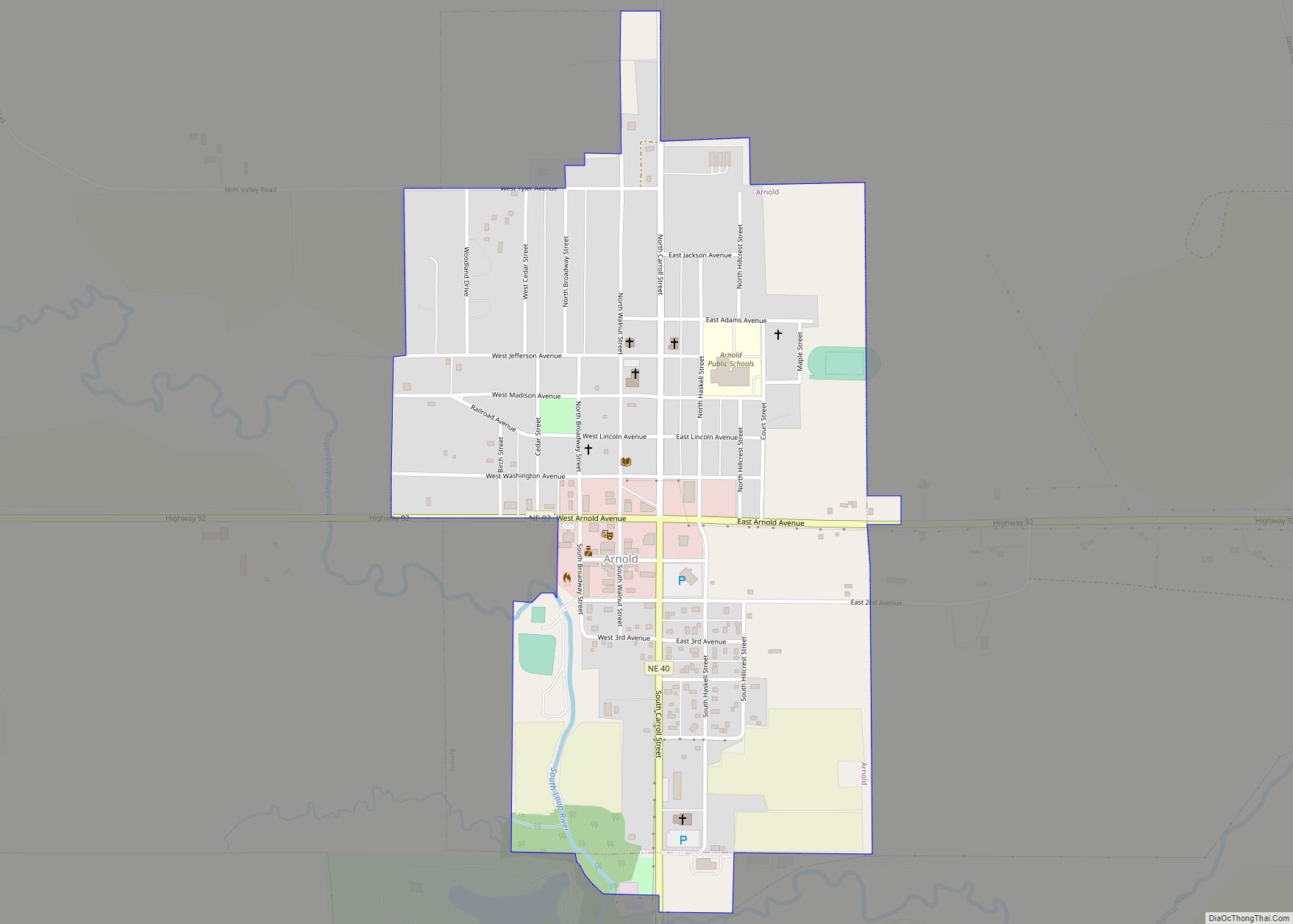
Arnold is a village in Custer County, Nebraska, United States. The population was 597 at the 2010 census. The village was named for George Arnold, a pioneer settler. Arnold village overview: Name: Arnold village LSAD Code: 47 LSAD Description: village (suffix) State: Nebraska County: Custer County Elevation: 2,700 ft (823 m) Total Area: 0.67 sq mi (1.73 km²) Land Area: ... Read more
Map of Arnold village, Nebraska
Map of Arlington village, Nebraska
Arlington is a village in Washington County, Nebraska, United States. The population was 1,243 at the 2010 census. Arlington is named after Arlington, Virginia. Arlington village overview: Name: Arlington village LSAD Code: 47 LSAD Description: village (suffix) State: Nebraska County: Washington County Elevation: 1,188 ft (362 m) Total Area: 0.60 sq mi (1.55 km²) Land Area: 0.60 sq mi (1.55 km²) Water Area: ... Read more
Map of Arlington village, Nebraska
Map of Barneston village
Barneston is a village in Gage County, Nebraska, United States. The population was 90 at the 2020 census. Barneston village overview: Name: Barneston village LSAD Code: 47 LSAD Description: village (suffix) State: Nebraska County: Gage County Elevation: 1,207 ft (368 m) Total Area: 0.24 sq mi (0.64 km²) Land Area: 0.24 sq mi (0.63 km²) Water Area: 0.00 sq mi (0.00 km²) Total Population: 90 Population ... Read more
Map of Barneston village
Map of Barada village
Barada (pronounced as Bear uh duh) is a village in northeast Richardson County, Nebraska, United States. The population was 20 at the 2020 census. Barada village overview: Name: Barada village LSAD Code: 47 LSAD Description: village (suffix) State: Nebraska County: Richardson County Elevation: 1,119 ft (341 m) Total Area: 0.09 sq mi (0.23 km²) Land Area: 0.09 sq mi (0.23 km²) Water Area: ... Read more
Map of Barada village
Map of Bancroft village, Nebraska
Bancroft is a village in Cuming County, Nebraska, United States. The population was 495 at the 2010 census. John Neihardt, who later became Nebraska’s poet laureate, lived in Bancroft for twenty years and wrote many of his works there. His study is preserved at the John G. Neihardt State Historic Site in the village. Bancroft ... Read more
Map of Bancroft village, Nebraska
Map of Ayr village, Nebraska
Ayr is a village in Adams County, Nebraska, United States. The population was 94 at the 2010 census. It is part of the Hastings, Nebraska Micropolitan Statistical Area. Ayr village overview: Name: Ayr village LSAD Code: 47 LSAD Description: village (suffix) State: Nebraska County: Adams County Elevation: 1,834 ft (559 m) Total Area: 0.24 sq mi (0.63 km²) Land Area: ... Read more
Map of Ayr village, Nebraska
Map of Axtell village, Nebraska
Axtell is a village in western Kearney County, Nebraska, United States. It is part of the Kearney, Nebraska Micropolitan Statistical Area. The population was 732 at the 2020 census. Axtell village overview: Name: Axtell village LSAD Code: 47 LSAD Description: village (suffix) State: Nebraska County: Kearney County Incorporated: 1885 Elevation: 2,224 ft (678 m) Total Area: 0.46 sq mi ... Read more
Map of Axtell village, Nebraska
Map of Avoca village, Nebraska
Avoca is a village in Cass County, Nebraska, United States. The population was 178 at the 2020 census. Avoca village overview: Name: Avoca village LSAD Code: 47 LSAD Description: village (suffix) State: Nebraska County: Cass County Elevation: 1,168 ft (356 m) Total Area: 0.13 sq mi (0.34 km²) Land Area: 0.13 sq mi (0.34 km²) Water Area: 0.00 sq mi (0.00 km²) Total Population: 178 Population ... Read more
Map of Avoca village, Nebraska
Map of Aurora city, Nebraska
Aurora is a city in Hamilton County, Nebraska, United States. The population was 4,479 at the 2010 census. It is the county seat of Hamilton County. Aurora city overview: Name: Aurora city LSAD Code: 25 LSAD Description: city (suffix) State: Nebraska County: Hamilton County Incorporated: July 3, 1877 Elevation: 1,791 ft (546 m) Total Area: 3.31 sq mi (8.58 km²) ... Read more
Map of Aurora city, Nebraska
Map of Auburn city, Nebraska
Auburn is a city in Nemaha County, Nebraska, United States, and its county seat. The population was 3,470 at the 2020 census. Auburn city overview: Name: Auburn city LSAD Code: 25 LSAD Description: city (suffix) State: Nebraska County: Nemaha County Elevation: 1,027 ft (313 m) Total Area: 2.19 sq mi (5.66 km²) Land Area: 2.19 sq mi (5.66 km²) Water Area: 0.00 sq mi (0.00 km²) ... Read more
Map of Auburn city, Nebraska
Map of Atlanta village, Nebraska
Atlanta is a village in Phelps County, Nebraska, United States. The population was 131 at the 2010 Census. During World War II, the town was neighbored by Camp Atlanta, which housed more than 3,000 Nazi German prisoners of war over three years. The camp was said to house more prisoners during the war than the ... Read more
Map of Atlanta village, Nebraska
Map of Bartlett village, Nebraska
Bartlett is a village in, and the county seat of, Wheeler County, Nebraska, United States. The population was 117 at the 2010 census. Bartlett village overview: Name: Bartlett village LSAD Code: 47 LSAD Description: village (suffix) State: Nebraska County: Wheeler County Elevation: 2,175 ft (663 m) Total Area: 0.14 sq mi (0.37 km²) Land Area: 0.14 sq mi (0.37 km²) Water Area: 0.00 sq mi ... Read more
Map of Bartlett village, Nebraska