Auburn is a city in Nemaha County, Nebraska, United States, and its county seat. The population was 3,470 at the 2020 census.
| Name: | Auburn city |
|---|---|
| LSAD Code: | 25 |
| LSAD Description: | city (suffix) |
| State: | Nebraska |
| County: | Nemaha County |
| Elevation: | 1,027 ft (313 m) |
| Total Area: | 2.19 sq mi (5.66 km²) |
| Land Area: | 2.19 sq mi (5.66 km²) |
| Water Area: | 0.00 sq mi (0.00 km²) |
| Total Population: | 3,470 |
| Population Density: | 1,587.37/sq mi (612.99/km²) |
| ZIP code: | 68305 |
| Area code: | 402 |
| FIPS code: | 3102655 |
| GNISfeature ID: | 2394026 |
| Website: | auburn.ne.gov |
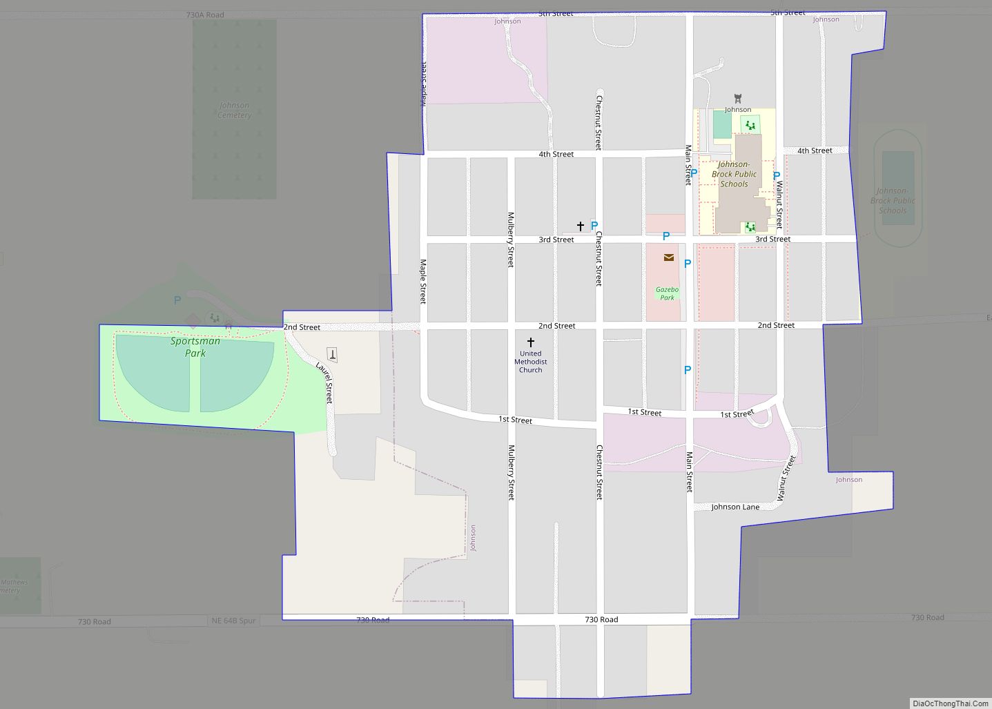
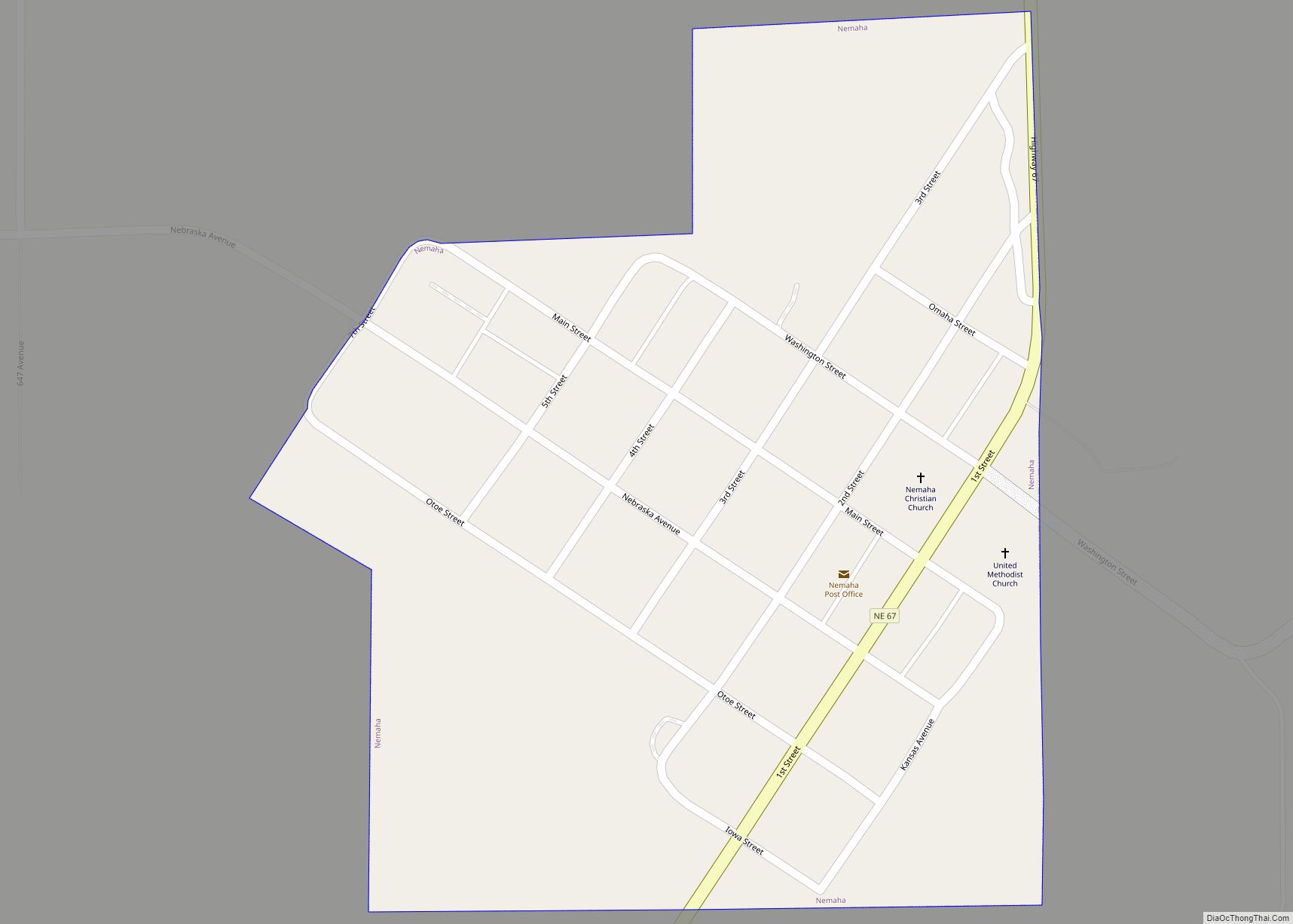
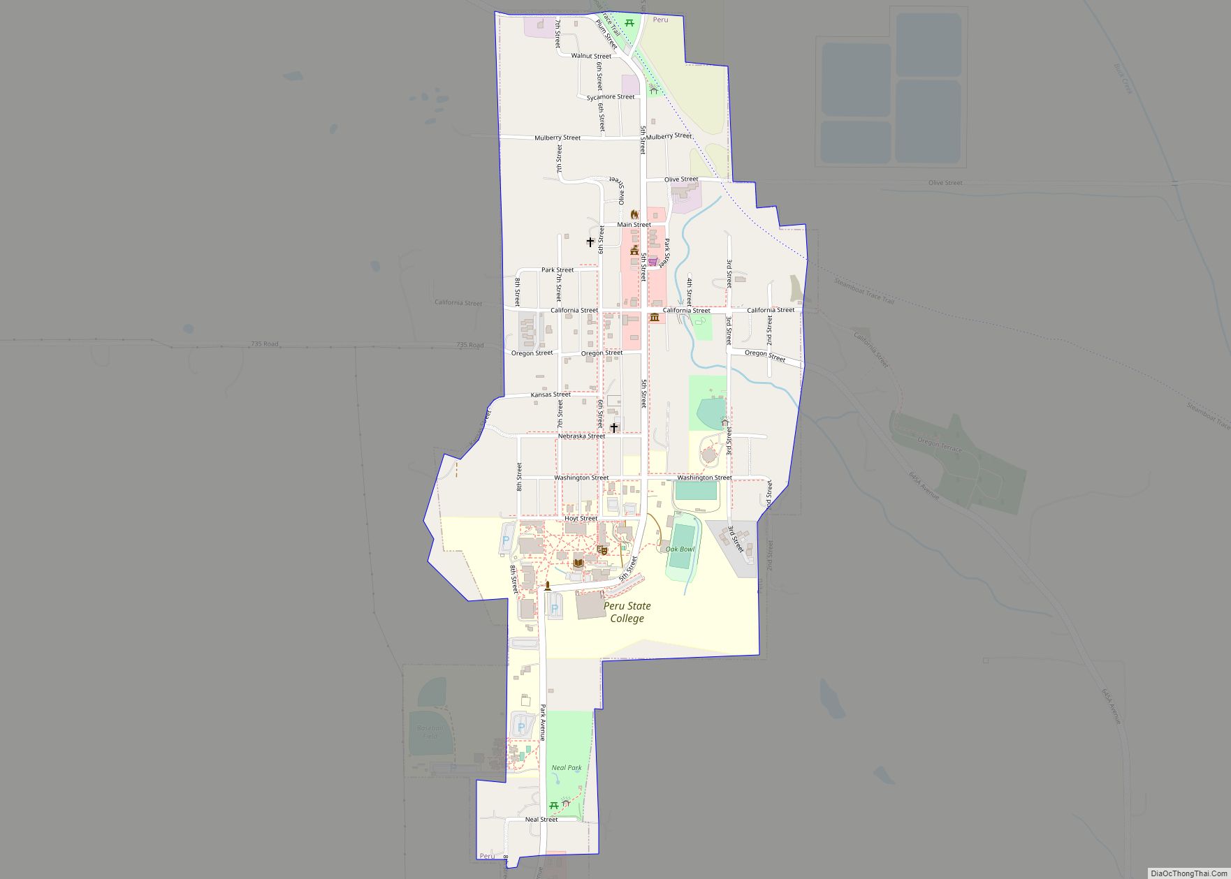
Online Interactive Map
Click on ![]() to view map in "full screen" mode.
to view map in "full screen" mode.
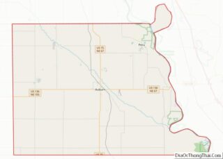
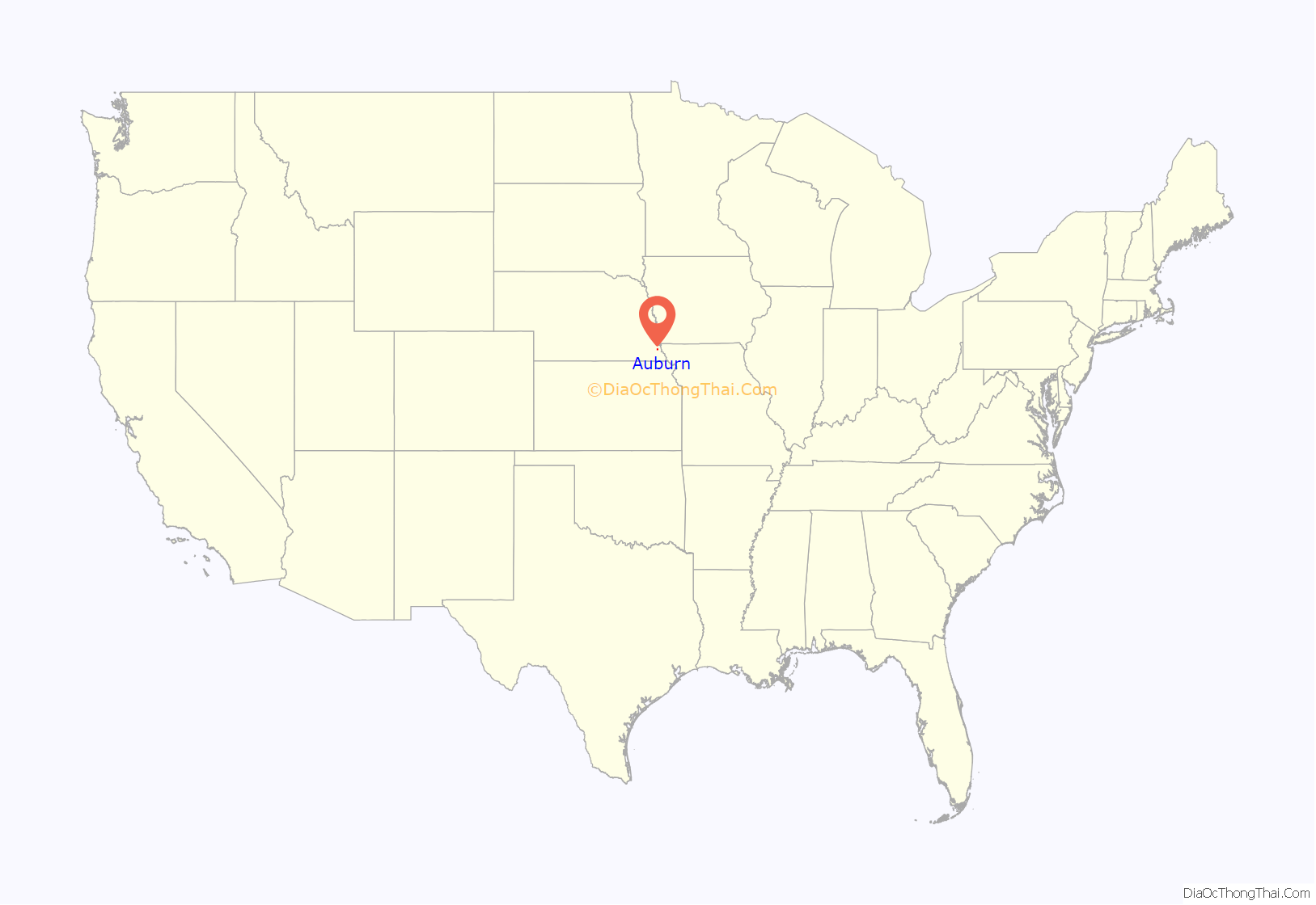
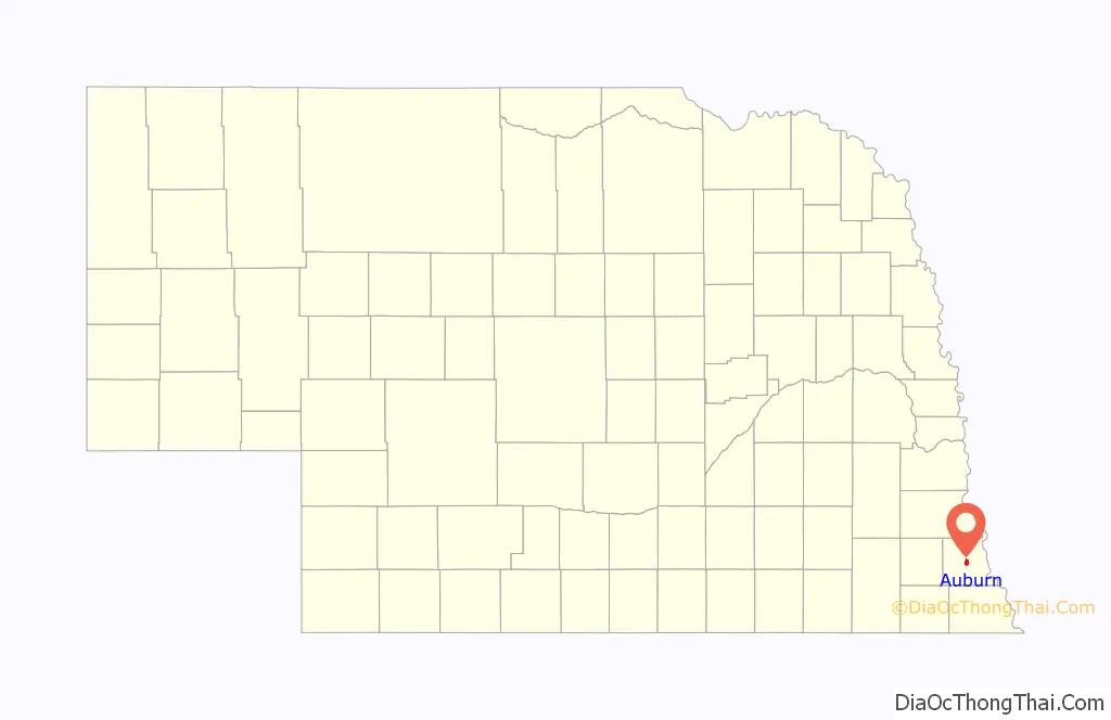
Auburn location map. Where is Auburn city?
History
Auburn is an incorporation of two towns. Calvert and Sheridan combined to form Auburn in 1882, in part to have the voting power to wrestle the county seat away from Brownville, Nebraska, a village located ten miles east. The incorporation was successful, and in 1883, Auburn was named the county seat. The city is named after Auburn, New York.
The only person to be elected to the United States Congress as a member of the Prohibitionist Party, Charles Hiram Randall, was born in Auburn on July 23, 1865.
From 1910 to 1913, Auburn was home to the Auburn Athletics, a Class C level minor league baseball team. The Auburn Athletics played as members of the Missouri-Iowa-Nebraska-Kansas League for the duration of the league. The Auburn Athletics played home games at the Legion Memorial Park. Still in use today, Legion Memorial Park is designated as a National Historic Park site. The address is 1015 J Street.
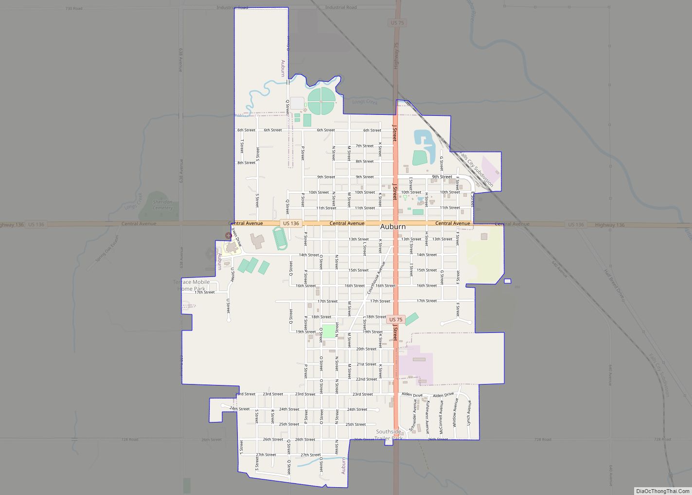
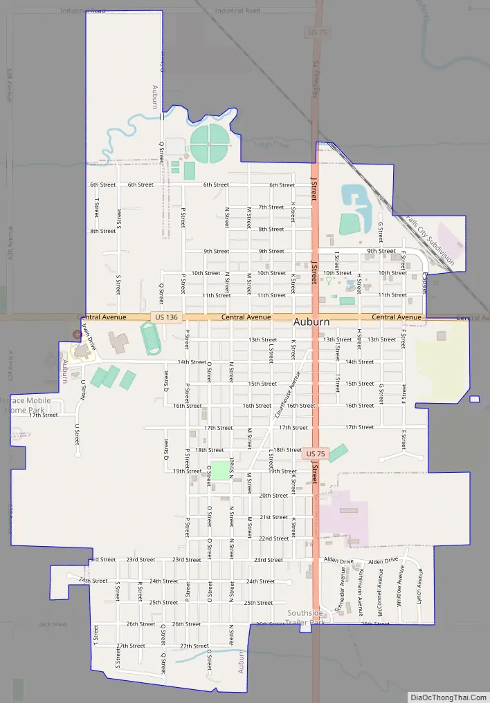
Auburn Road Map
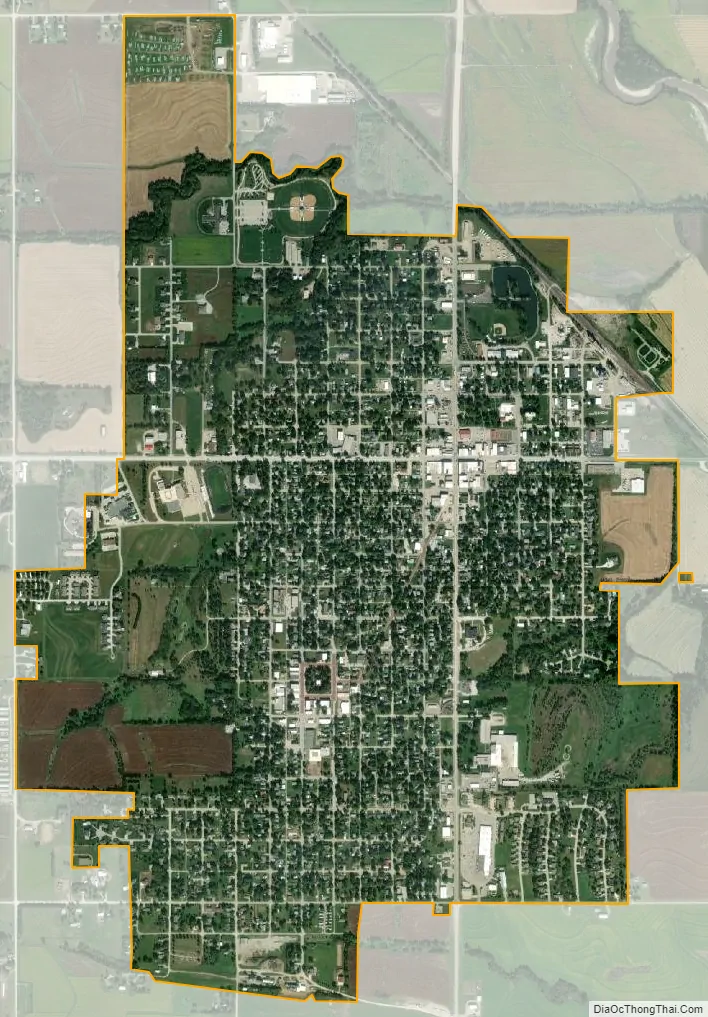
Auburn city Satellite Map
Geography
According to the United States Census Bureau, the city has a total area of 2.18 square miles (5.65 km), all land.
See also
Map of Nebraska State and its subdivision:- Adams
- Antelope
- Arthur
- Banner
- Blaine
- Boone
- Box Butte
- Boyd
- Brown
- Buffalo
- Burt
- Butler
- Cass
- Cedar
- Chase
- Cherry
- Cheyenne
- Clay
- Colfax
- Cuming
- Custer
- Dakota
- Dawes
- Dawson
- Deuel
- Dixon
- Dodge
- Douglas
- Dundy
- Fillmore
- Franklin
- Frontier
- Furnas
- Gage
- Garden
- Garfield
- Gosper
- Grant
- Greeley
- Hall
- Hamilton
- Harlan
- Hayes
- Hitchcock
- Holt
- Hooker
- Howard
- Jefferson
- Johnson
- Kearney
- Keith
- Keya Paha
- Kimball
- Knox
- Lancaster
- Lincoln
- Logan
- Loup
- Madison
- McPherson
- Merrick
- Morrill
- Nance
- Nemaha
- Nuckolls
- Otoe
- Pawnee
- Perkins
- Phelps
- Pierce
- Platte
- Polk
- Red Willow
- Richardson
- Rock
- Saline
- Sarpy
- Saunders
- Scotts Bluff
- Seward
- Sheridan
- Sherman
- Sioux
- Stanton
- Thayer
- Thomas
- Thurston
- Valley
- Washington
- Wayne
- Webster
- Wheeler
- York
- Alabama
- Alaska
- Arizona
- Arkansas
- California
- Colorado
- Connecticut
- Delaware
- District of Columbia
- Florida
- Georgia
- Hawaii
- Idaho
- Illinois
- Indiana
- Iowa
- Kansas
- Kentucky
- Louisiana
- Maine
- Maryland
- Massachusetts
- Michigan
- Minnesota
- Mississippi
- Missouri
- Montana
- Nebraska
- Nevada
- New Hampshire
- New Jersey
- New Mexico
- New York
- North Carolina
- North Dakota
- Ohio
- Oklahoma
- Oregon
- Pennsylvania
- Rhode Island
- South Carolina
- South Dakota
- Tennessee
- Texas
- Utah
- Vermont
- Virginia
- Washington
- West Virginia
- Wisconsin
- Wyoming