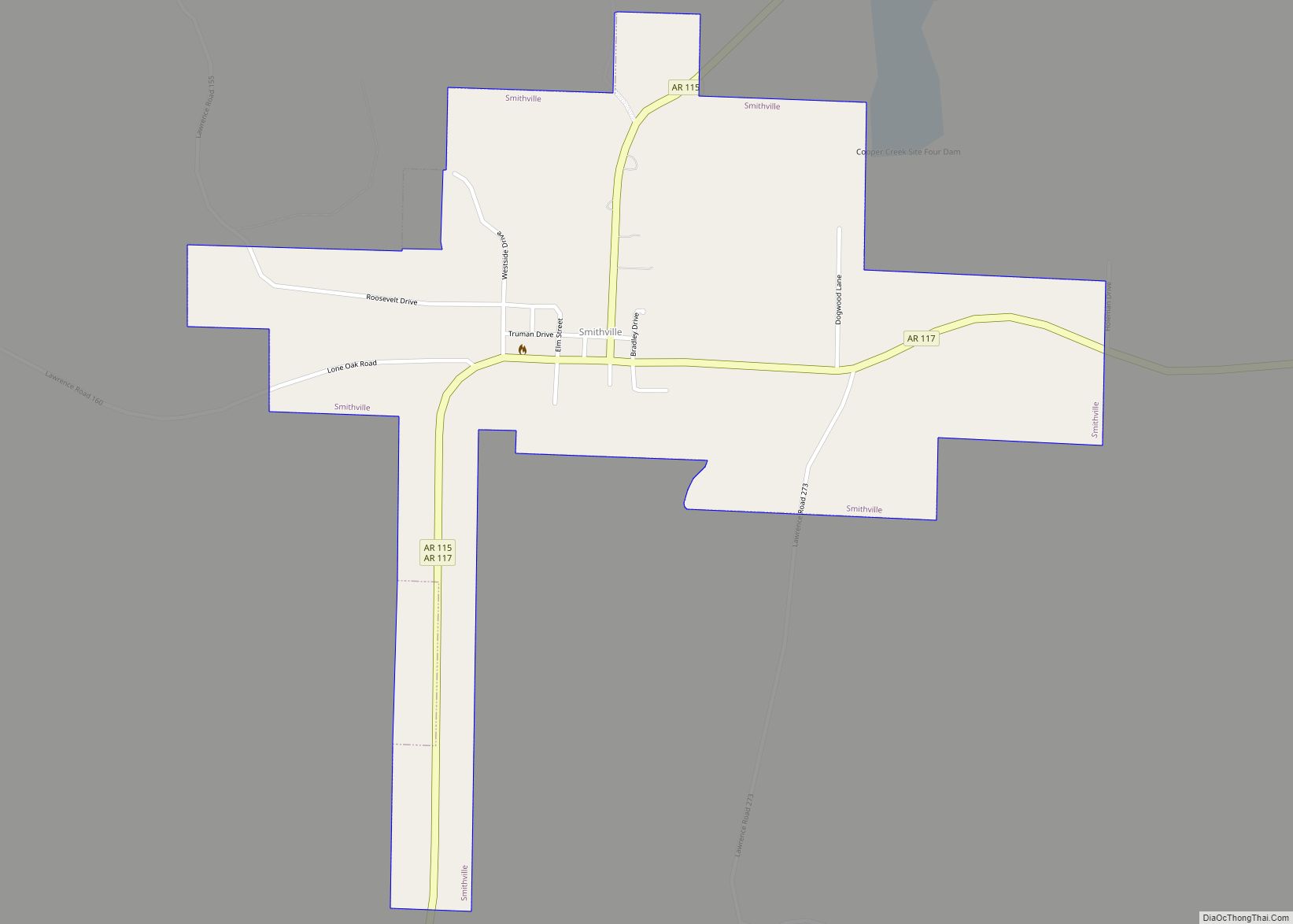
Smithville is a town in Lawrence County, Arkansas, United States. The population was 78 at the 2010 census. Smithville town overview: Name: Smithville town LSAD Code: 43 LSAD Description: town (suffix) State: Arkansas County: Lawrence County Elevation: 351 ft (107 m) Total Area: 0.67 sq mi (1.73 km²) Land Area: 0.67 sq mi (1.73 km²) Water Area: 0.00 sq mi (0.00 km²) Total Population: 87 Population ... Read more
Map of US Cities and Places
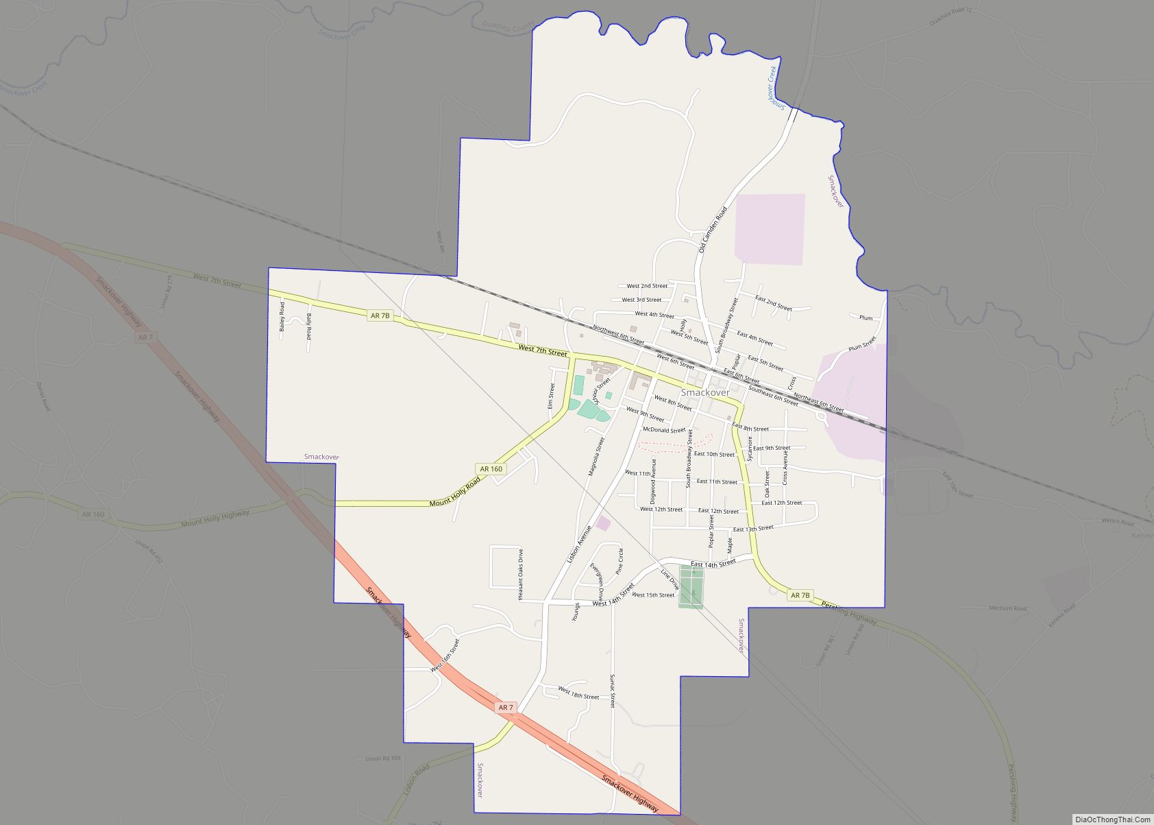
Smackover is a small city in northern Union County, Arkansas, United States. According to the 2010 census, the population was at 1,865. It had a large oil boom in the 1920s, with production continuing for some time. Smackover city overview: Name: Smackover city LSAD Code: 25 LSAD Description: city (suffix) State: Arkansas County: Union County ... Read more
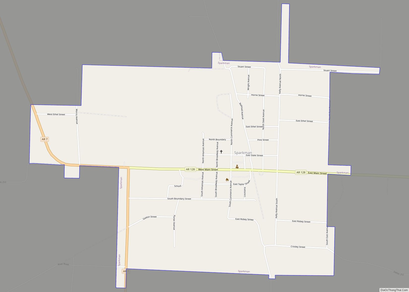
Sparkman is a city in Dallas County, Arkansas, United States. The population was 427 at the 2010 census, down from 586 in 2000. Sparkman city overview: Name: Sparkman city LSAD Code: 25 LSAD Description: city (suffix) State: Arkansas County: Dallas County Elevation: 171 ft (52 m) Total Area: 1.29 sq mi (3.34 km²) Land Area: 1.29 sq mi (3.34 km²) Water Area: 0.00 sq mi ... Read more
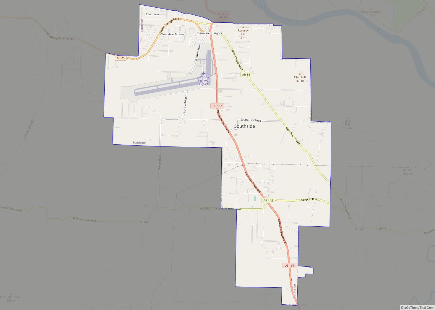
Southside is an incorporated city located in Independence County, Arkansas, United States. The elevation of Southside is 354 feet (108 m). The spur route of Arkansas Highway 14 connects Southside with Salado. Southside city overview: Name: Southside city LSAD Code: 25 LSAD Description: city (suffix) State: Arkansas County: Independence County Incorporated: 2014 Elevation: 374 ft (114 m) Total Area: ... Read more
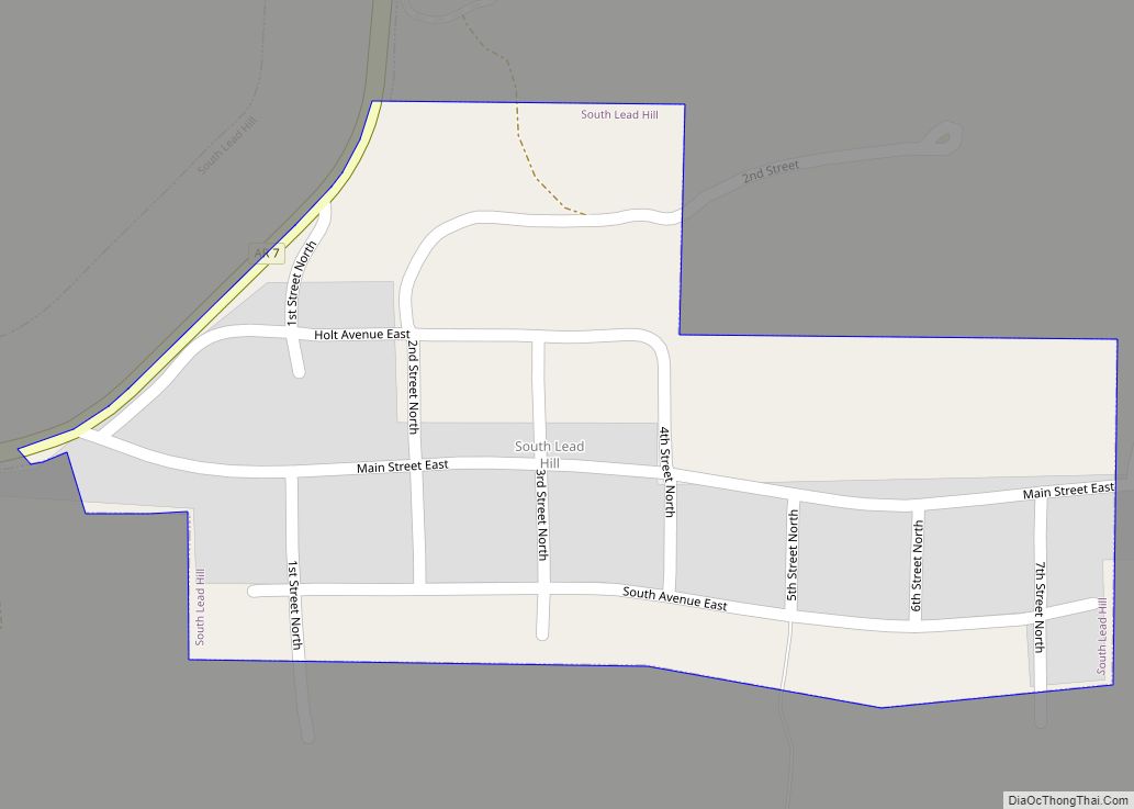
South Lead Hill is a town in Boone County, Arkansas, United States. The population was 102 at the 2010 census. It is part of the Harrison Micropolitan Statistical Area. South Lead Hill town overview: Name: South Lead Hill town LSAD Code: 43 LSAD Description: town (suffix) State: Arkansas County: Boone County Elevation: 840 ft (256 m) Total ... Read more
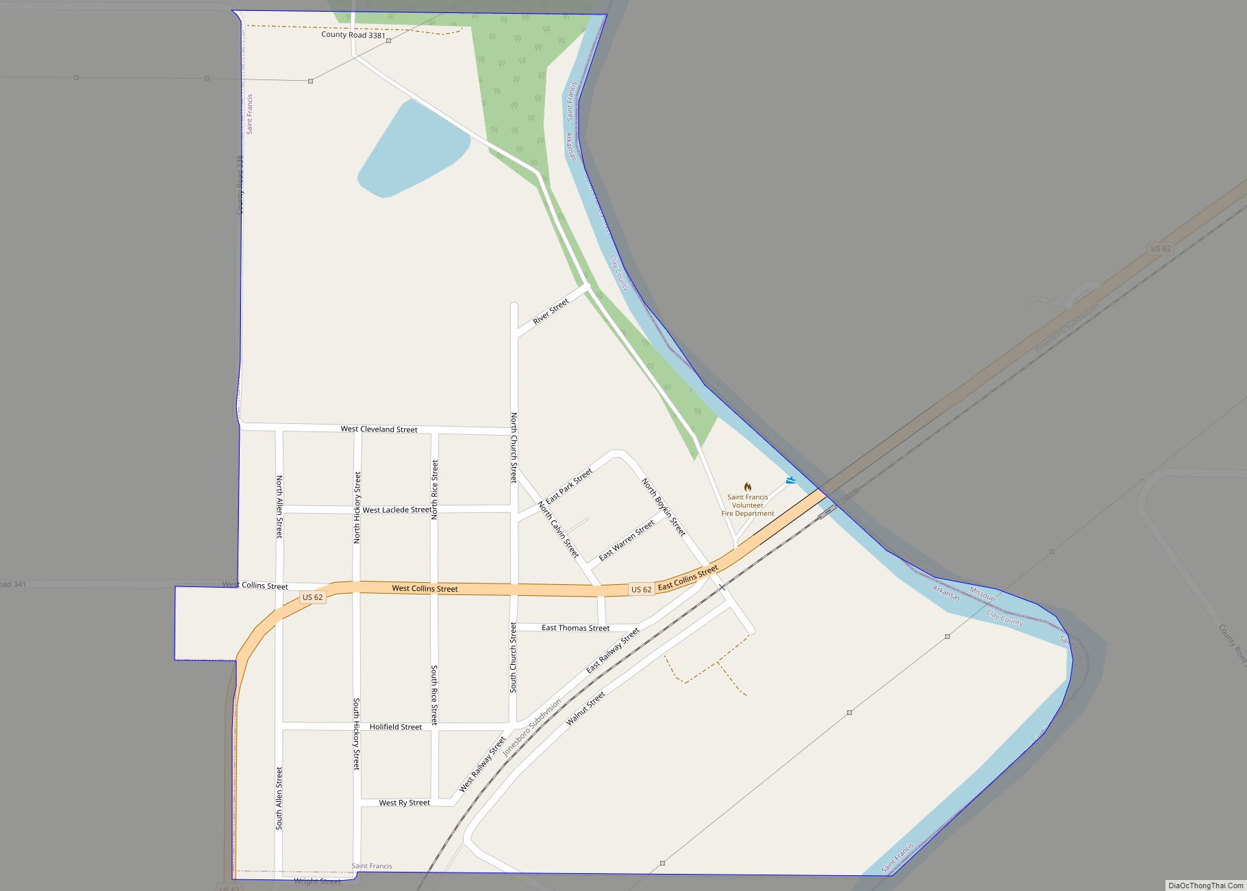
St. Francis is a city in northeastern Clay County, Arkansas, United States, along the St. Francis River. The population was 250 at the 2010 census. St. Francis city overview: Name: St. Francis city LSAD Code: 25 LSAD Description: city (suffix) State: Arkansas County: Clay County Elevation: 299 ft (91 m) Total Area: 0.37 sq mi (0.95 km²) Land Area: 0.35 sq mi ... Read more
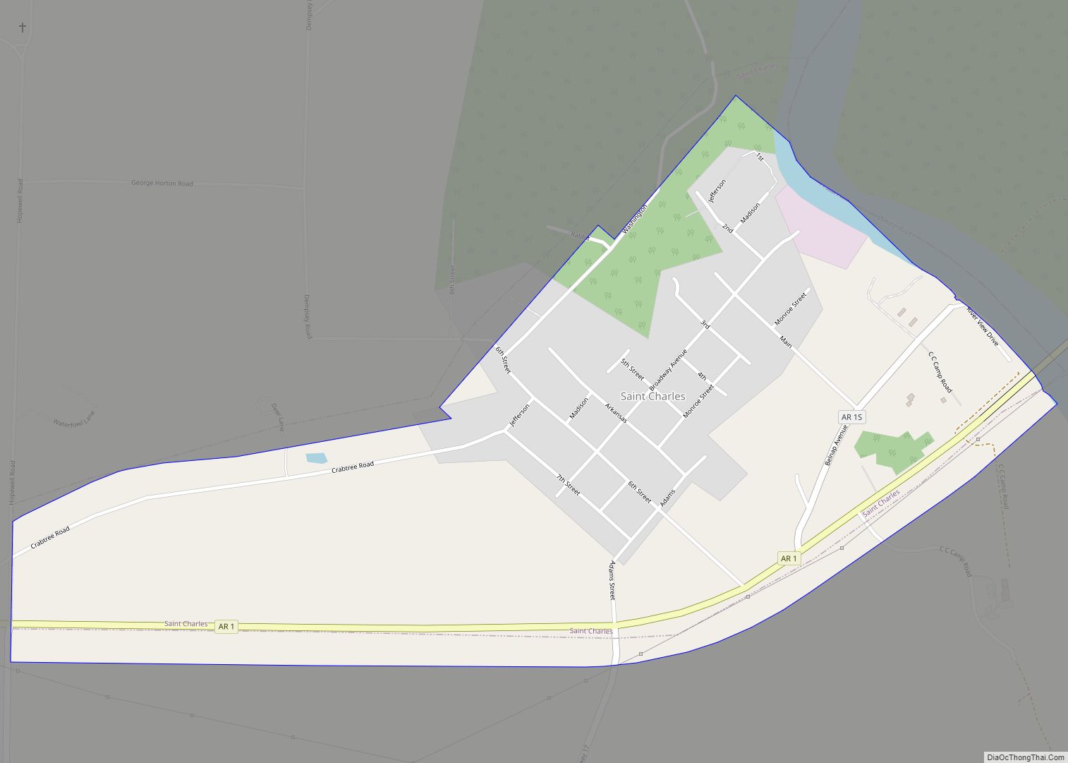
St. Charles is a town in Arkansas County, Arkansas, United States. The population was 230 at the 2010 census. The small town has been at the center of various events in Arkansas’ history. St. Charles is best known for the Battle of Saint Charles, which was fought on the White River, which borders the town. ... Read more
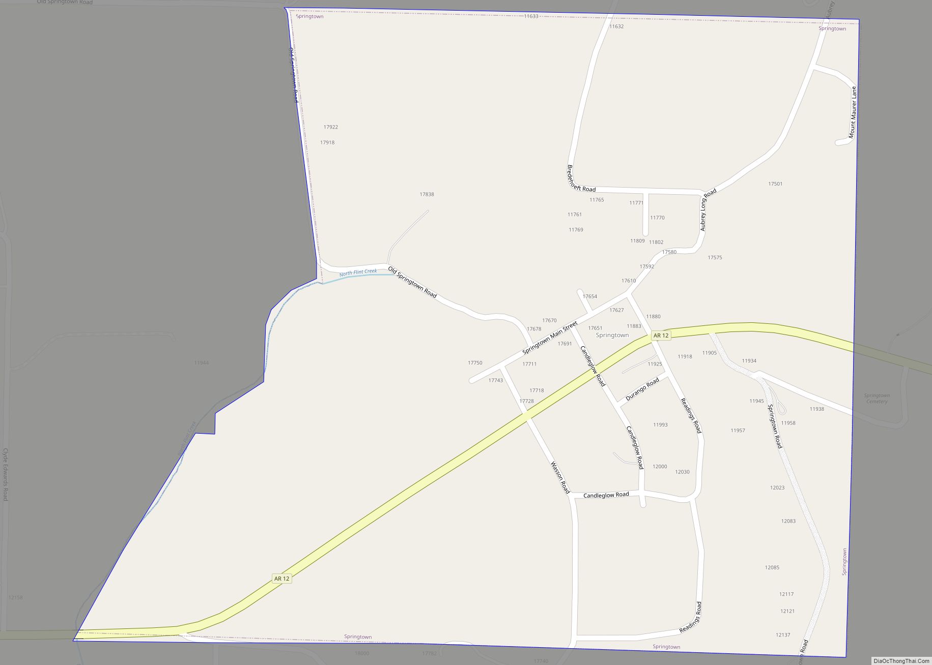
Springtown is a town in Benton County, Arkansas, United States. The population was 83 at the 2020 census. It is part of the Northwest Arkansas region. Springtown town overview: Name: Springtown town LSAD Code: 43 LSAD Description: town (suffix) State: Arkansas County: Benton County Elevation: 1,207 ft (368 m) Total Area: 0.54 sq mi (1.40 km²) Land Area: 0.54 sq mi (1.40 km²) ... Read more
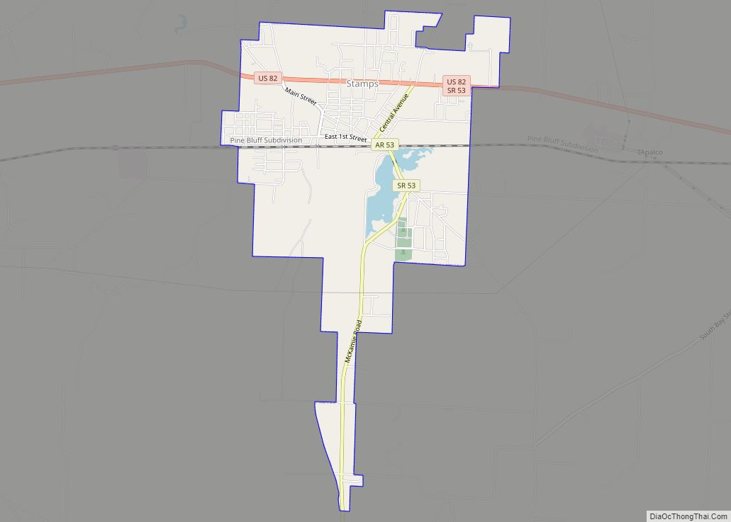
Stamps is a city in Lafayette County, Arkansas, United States. The population was 1,693 at the 2010 census, down from 2,131 at the 2000 census. Stamps city overview: Name: Stamps city LSAD Code: 25 LSAD Description: city (suffix) State: Arkansas County: Lafayette County Elevation: 308 ft (94 m) Total Area: 3.15 sq mi (8.17 km²) Land Area: 3.05 sq mi (7.91 km²) Water ... Read more
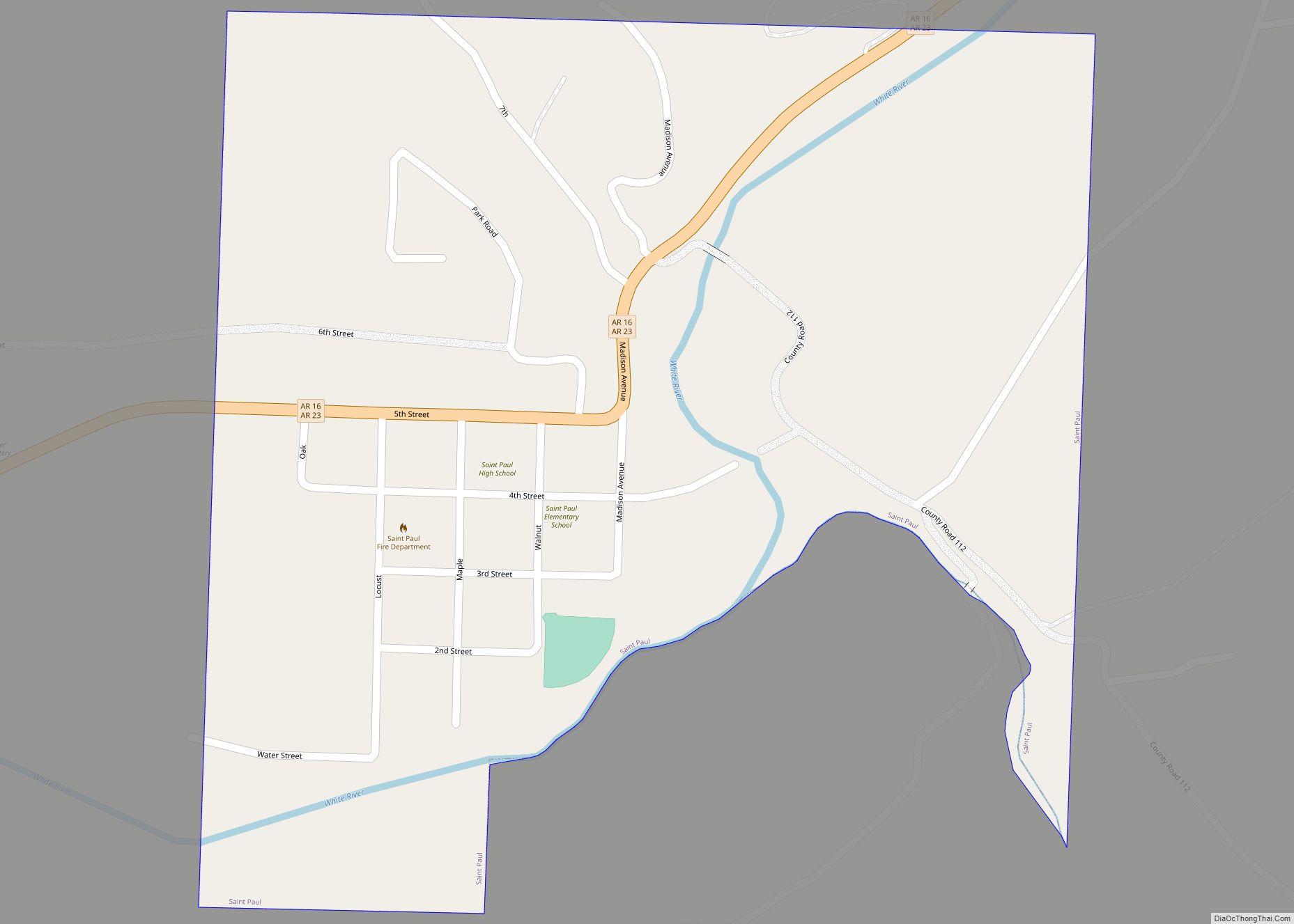
St. Paul is a town in Madison County, Arkansas, United States. The population was 111 at the 2020 census. It is on the edge of the Northwest Arkansas region. St. Paul was platted in 1887 when the railroad was extended to that point. St. Paul town overview: Name: St. Paul town LSAD Code: 43 LSAD ... Read more
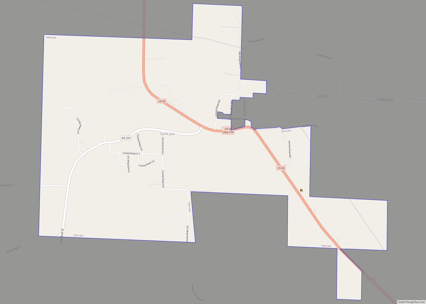
St. Joe or Saint Joe is a town in Searcy County, Arkansas, United States. The population was 132 at the 2010 census. St. Joe town overview: Name: St. Joe town LSAD Code: 43 LSAD Description: town (suffix) State: Arkansas County: Searcy County Elevation: 778 ft (237 m) Total Area: 1.25 sq mi (3.23 km²) Land Area: 1.24 sq mi (3.22 km²) Water Area: ... Read more
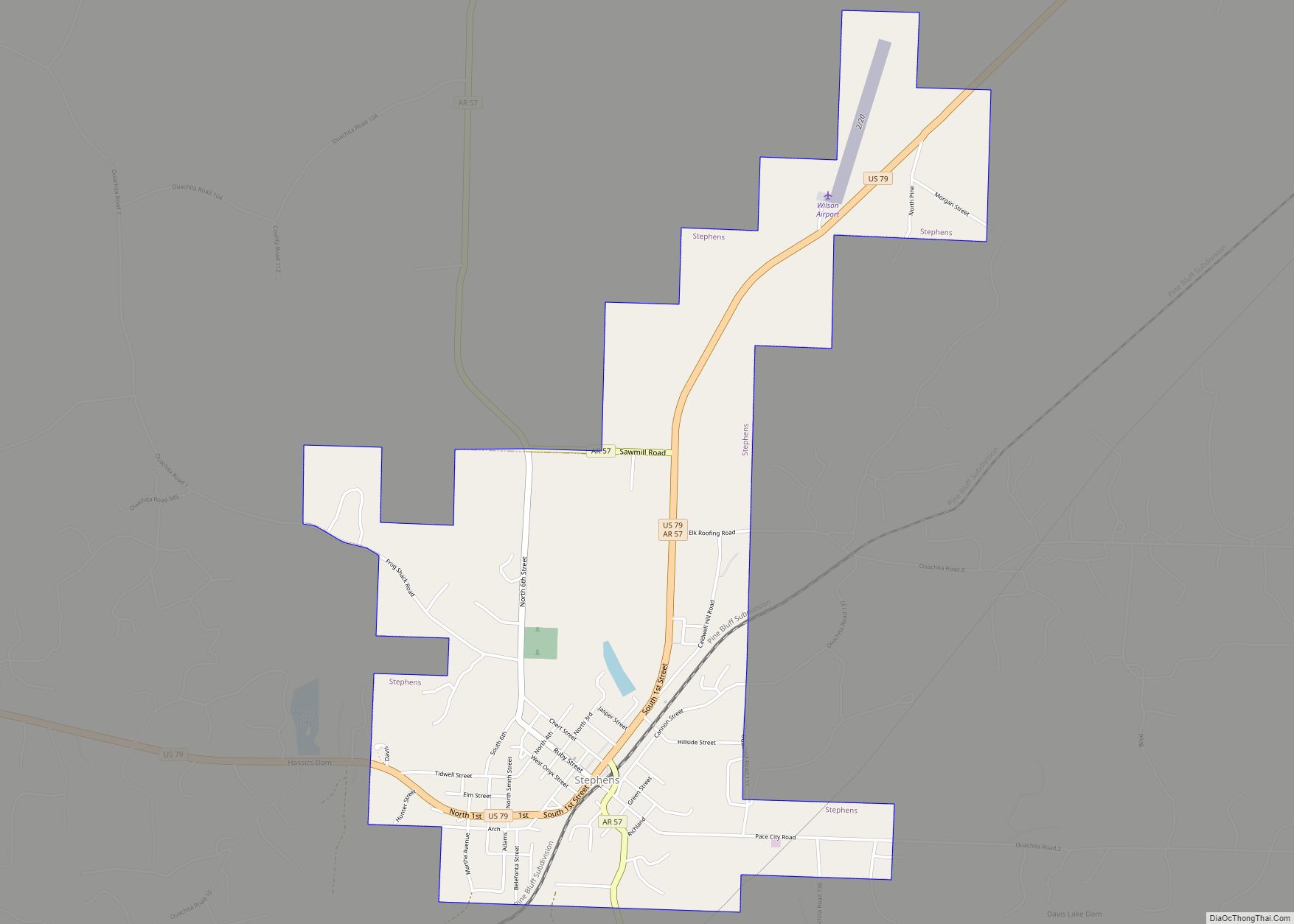
Stephens is a city in Ouachita County, Arkansas, United States. The population was 891 at the 2010 census. It is part of the Camden Micropolitan Statistical Area. Stephens was incorporated in 1889. Stephens city overview: Name: Stephens city LSAD Code: 25 LSAD Description: city (suffix) State: Arkansas County: Ouachita County Elevation: 249 ft (76 m) Total Area: ... Read more
