Map of Beaver Valley CDP
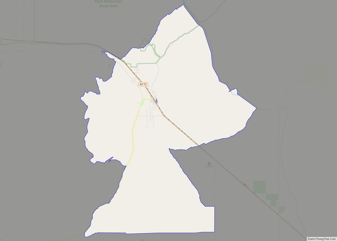
Beaver Valley is a census-designated place in Gila County in the state of Arizona. Beaver Valley is located about 10 miles north of the town of Payson. The population, as of the 2010 U.S. Census, was 231. Beaver Valley CDP overview: Name: Beaver Valley CDP LSAD Code: 57 LSAD Description: CDP (suffix) State: Arizona County: ... Read more
Map of Beaver Valley CDP
Map of Beaver Dam CDP, Arizona
Beaver Dam is an unincorporated community and census-designated place (CDP) in Mohave County, Arizona, United States, that is located in the Arizona Strip region and was settled in 1863. It is located along Interstate 15 approximately 10 miles (16 km) northeast of Mesquite, Nevada. It is located in the 86432 ZIP Code. It had a population ... Read more
Map of Beaver Dam CDP, Arizona
Map of Bisbee city, Arizona
Bisbee is a city in and the county seat of Cochise County in southeastern Arizona, United States. It is 92 miles (148 km) southeast of Tucson and 11 miles (18 km) north of the Mexican border. According to the 2020 census, the population of the town was 4,923, down from 5,575 in the 2010 census. Bisbee city ... Read more
Map of Bisbee city, Arizona
Map of Beyerville CDP
Beyerville is a census-designated place (CDP) in Santa Cruz County, Arizona, United States. The population was 177 at the 2010 census. Beyerville CDP overview: Name: Beyerville CDP LSAD Code: 57 LSAD Description: CDP (suffix) State: Arizona County: Santa Cruz County Elevation: 3,642 ft (1,110 m) Total Area: 0.34 sq mi (0.87 km²) Land Area: 0.34 sq mi (0.87 km²) Water Area: 0.00 sq mi (0.00 km²) ... Read more
Map of Beyerville CDP
Map of Bitter Springs CDP
Bitter Springs (Navajo: Díchʼíító) is a native village and census-designated place (CDP) on the Navajo Nation in Coconino County, Arizona, United States. As of the 2020 census, the CDP population was 364 Bitter Springs CDP overview: Name: Bitter Springs CDP LSAD Code: 57 LSAD Description: CDP (suffix) State: Arizona County: Coconino County Elevation: 5,115 ft (1,559 m) ... Read more
Map of Bitter Springs CDP
Map of Bluewater CDP, Arizona
Bluewater is a census-designated place (CDP) on the Colorado River Indian Reservation in La Paz County, Arizona, United States. The population was 725 at the 2010 census. Bluewater CDP overview: Name: Bluewater CDP LSAD Code: 57 LSAD Description: CDP (suffix) State: Arizona County: La Paz County Elevation: 404 ft (123 m) Total Area: 2.38 sq mi (6.18 km²) Land Area: ... Read more
Map of Bluewater CDP, Arizona
Map of Blackwater CDP, Arizona
Blackwater is a native village and census-designated place (CDP) on the Gila River Reservation in Pinal County, Arizona, United States. The population was 1,062 at the 2010 census, up from 504 in 2000. Blackwater CDP overview: Name: Blackwater CDP LSAD Code: 57 LSAD Description: CDP (suffix) State: Arizona County: Pinal County Elevation: 1,381 ft (421 m) Total ... Read more
Map of Blackwater CDP, Arizona
Map of Black Canyon City CDP
Black Canyon City is an unincorporated community and census-designated place (CDP) in Yavapai County, Arizona, United States. The population was 2,837 at the 2010 census, up from 2,697 in 2000. Black Canyon City CDP overview: Name: Black Canyon City CDP LSAD Code: 57 LSAD Description: CDP (suffix) State: Arizona County: Yavapai County Elevation: 2,000 ft (610 m) ... Read more
Map of Black Canyon City CDP
Map of Brenda CDP
Brenda is a census-designated place (CDP) in La Paz County, Arizona, United States. Brenda CDP overview: Name: Brenda CDP LSAD Code: 57 LSAD Description: CDP (suffix) State: Arizona County: La Paz County Elevation: 1,375 ft (419 m) Total Area: 6.91 sq mi (17.90 km²) Land Area: 6.91 sq mi (17.90 km²) Water Area: 0.00 sq mi (0.00 km²) Total Population: 466 Population Density: 67.44/sq mi (26.04/km²) Area ... Read more
Map of Brenda CDP
Map of Bowie CDP, Arizona
Bowie is an unincorporated community and a census-designated place in Cochise County, Arizona, United States. As of the 2010 U.S. Census the population of Bowie was 449. Bowie CDP overview: Name: Bowie CDP LSAD Code: 57 LSAD Description: CDP (suffix) State: Arizona County: Cochise County Elevation: 3,763 ft (1,147 m) Total Area: 1.71 sq mi (4.42 km²) Land Area: 1.71 sq mi ... Read more
Map of Bowie CDP, Arizona
Map of Bouse CDP
Bouse (/ˈbaʊs/ BOWSS rhymes with “house”) is a census-designated place (CDP) and ghost town in La Paz County, Arizona, United States. Founded in 1908 as a mining camp, the economy of Bouse is now based on tourism, agriculture, and retirees. The population was 996 at the 2010 census. It was originally named Brayton after the ... Read more
Map of Bouse CDP
Map of Buckshot CDP
Buckshot is a census-designated place (CDP) in Yuma County, Arizona, United States. The population was 153 at the 2010 census. Redondo Lake, a reservoir holding seepage from the Gila Gravity Main Canal, is located to the north of Buckshot. Buckshot CDP overview: Name: Buckshot CDP LSAD Code: 57 LSAD Description: CDP (suffix) State: Arizona County: ... Read more
Map of Buckshot CDP