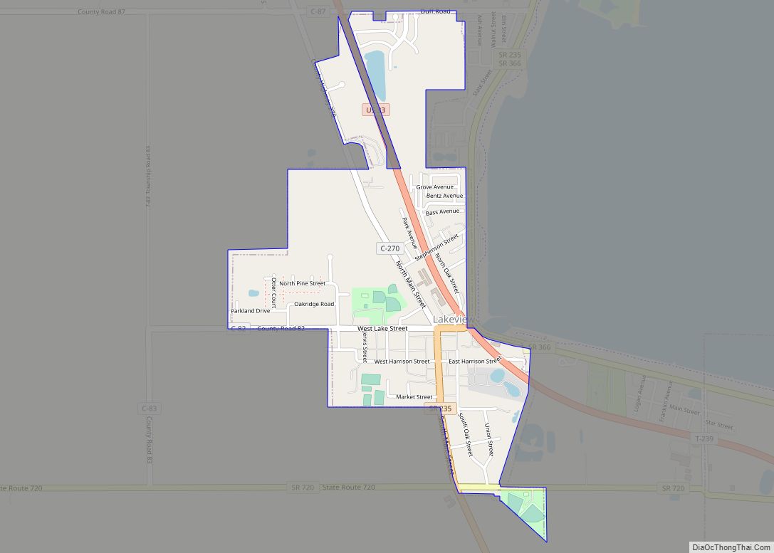
Lake Waynoka is a census-designated place (CDP) and gated community in Brown County, Ohio, United States, located around a similarly named reservoir between Sardinia and Russellville. The population was 1,173 at the 2010 census. Lake Waynoka CDP overview: Name: Lake Waynoka CDP LSAD Code: 57 LSAD Description: CDP (suffix) State: Ohio County: Brown County Elevation: ... Read more
Map of US Cities and Places
Lake Tomahawk is an unincorporated community and census-designated place in central Middleton Township, Columbiana County, Ohio, United States, surrounding the Lake Tomahawk reservoir. The population was 494 at the 2020 census. It is part of the Salem micropolitan area, 24 miles (39 km) south of Youngstown and 38 miles (61 km) northwest of Pittsburgh. Lake Tomahawk was ... Read more
Lansing is a census-designated place in northern Pease Township, Belmont County, Ohio, United States, along Wheeling Creek. As of the 2010 census it had a population of 634. It has a post office with the ZIP code 43934. Lansing is part of the Wheeling, WV-OH Metropolitan Statistical Area. A post office called Lansing has been ... Read more
Landen is a census-designated place (CDP) in Deerfield Township, Warren County, Ohio, United States. The population was 6,995 at the 2020 census. It is located around Columbia Road and Montgomery Road in the southeastern part of the township. It surrounds Twenty Mile Stand and near Fosters. Landen was named after Theodophilus James Landen, an early ... Read more
Lancaster (locally /ˈlæŋk(ə)stər/ LANK-(ə-)stər) is a city in Fairfield County, Ohio, in the south-central part of the state. As of the 2020 census, the city population was 40,552. The city is near the Hocking River, about 33 miles (53 km) southeast of Columbus and 38 miles (61 km) southwest of Zanesville. It is the county seat of ... Read more
Lakewood is a city in Cuyahoga County, Ohio, United States, on the southern shore of Lake Erie. Established in 1889, it is one of Cleveland’s historical streetcar suburbs and part of the Cleveland metropolitan area. The population was 50,942 at the 2020 census, making it the third largest city in Cuyahoga County, behind Cleveland and ... Read more
Lewisburg is a village in Preble County, Ohio, United States, founded in 1818. The current village incorporates two prior villages, the original Lewisburg and Euphemia, which merged in 1916. The population was 1,820 at the 2010 census. It is part of the Dayton Metropolitan Statistical Area. Lewisburg village overview: Name: Lewisburg village LSAD Code: 47 ... Read more
Leipsic /ˈlɪpsɪk/ is a village in Putnam County, Ohio, United States. The population was 2,093 at the 2010 census. Leipsic village overview: Name: Leipsic village LSAD Code: 47 LSAD Description: village (suffix) State: Ohio County: Putnam County Elevation: 764 ft (233 m) Total Area: 3.70 sq mi (9.57 km²) Land Area: 3.68 sq mi (9.54 km²) Water Area: 0.01 sq mi (0.03 km²) Total Population: 2,177 ... Read more
Leetonia is a village in northern Columbiana County, Ohio, United States. The population was 1,833 at the 2020 census. It is part of the Salem micropolitan area, about 16 miles (26 km) south of Youngstown. Leetonia village overview: Name: Leetonia village LSAD Code: 47 LSAD Description: village (suffix) State: Ohio County: Columbiana County Elevation: 1,017 ft (310 m) ... Read more
Leesville is a village in southwestern Carroll County, Ohio, United States. The population was 127 at the 2020 census. It is part of the Canton–Massillon metropolitan area. Leesville village overview: Name: Leesville village LSAD Code: 47 LSAD Description: village (suffix) State: Ohio County: Carroll County Elevation: 997 ft (304 m) Total Area: 0.26 sq mi (0.66 km²) Land Area: 0.26 sq mi ... Read more
Leesburg is a village in Highland County, Ohio, United States. The population was 1,314 at the 2010 census. Leesburg village overview: Name: Leesburg village LSAD Code: 47 LSAD Description: village (suffix) State: Ohio County: Highland County Elevation: 1,014 ft (309 m) Total Area: 1.17 sq mi (3.03 km²) Land Area: 1.17 sq mi (3.03 km²) Water Area: 0.00 sq mi (0.00 km²) Total Population: 1,273 Population ... Read more
Lebanon is a city in and the county seat of Warren County, Ohio, United States. The population was 20,841 at the 2020 census. It is part of the Cincinnati metropolitan area. Lebanon city overview: Name: Lebanon city LSAD Code: 25 LSAD Description: city (suffix) State: Ohio County: Warren County Elevation: 768 ft (234 m) Total Area: 13.18 sq mi ... Read more