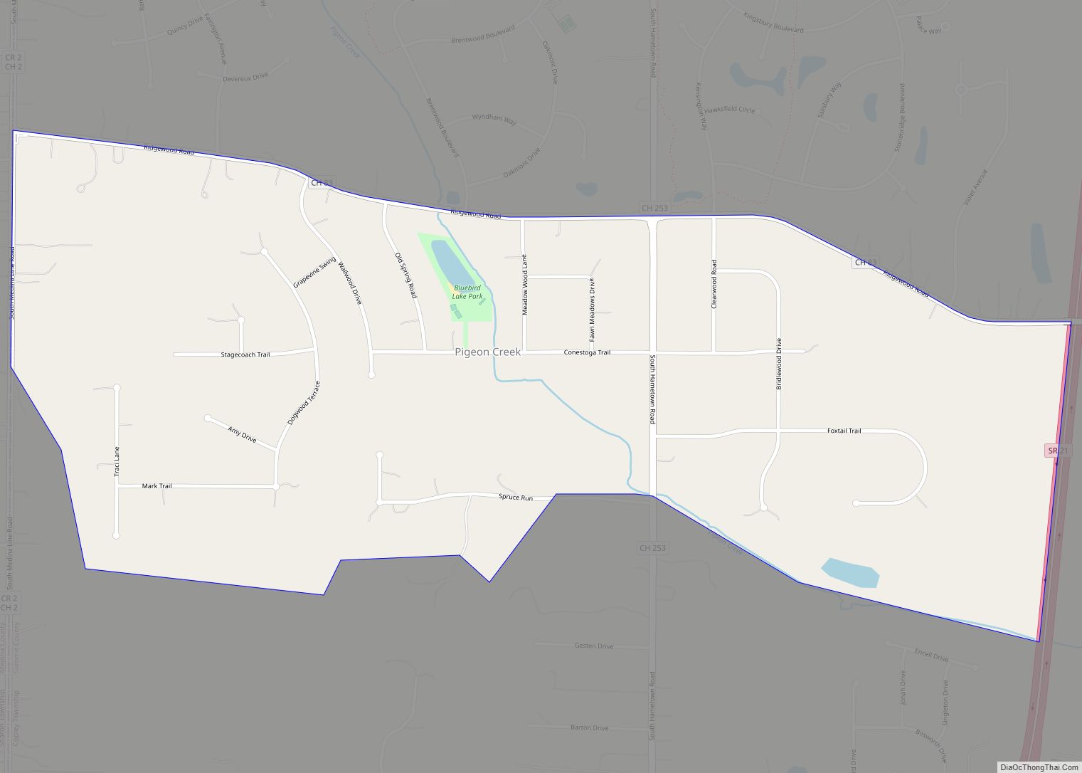
Pigeon Creek is a census-designated place (CDP) in Summit County, Ohio, United States. The population was 945 at the 2000 census. It is part of the Akron metropolitan statistical area. Pigeon Creek CDP overview: Name: Pigeon Creek CDP LSAD Code: 57 LSAD Description: CDP (suffix) State: Ohio County: Summit County Elevation: 1,040 ft (317 m) Total Area: ... Read more
Map of US Cities and Places
Pickerington is a city in Fairfield and Franklin counties in the central region of the U.S. state of Ohio. It is a suburb of Columbus. The population was 23,094 at the 2020 census. It was founded in 1815 as Jacksonville, named after Andrew Jackson. The name was changed in 1827 in honor of its founder, ... Read more
Philo is a village in Muskingum County, Ohio, United States, along the Muskingum River. The population was 720 at the 2020 census. It is part of the Zanesville micropolitan area. Philo is the closest municipality to Blue Rock State Park. Philo village overview: Name: Philo village LSAD Code: 47 LSAD Description: village (suffix) State: Ohio ... Read more
Phillipsburg is a village in Montgomery County, Ohio, United States. The population was 498 at the 2020 census. It is part of the Dayton Metropolitan Statistical Area. Phillipsburg village overview: Name: Phillipsburg village LSAD Code: 47 LSAD Description: village (suffix) State: Ohio County: Montgomery County Elevation: 1,037 ft (316 m) Total Area: 0.27 sq mi (0.69 km²) Land Area: 0.27 sq mi ... Read more
Plainville is a census-designated place (CDP) in Hamilton County, Ohio, United States. The population was 120 at the 2020 census. Plainville CDP overview: Name: Plainville CDP LSAD Code: 57 LSAD Description: CDP (suffix) State: Ohio County: Hamilton County Elevation: 499 ft (152 m) Total Area: 0.09 sq mi (0.24 km²) Land Area: 0.09 sq mi (0.24 km²) Water Area: 0.00 sq mi (0.00 km²) Total Population: ... Read more
Plumwood is a census-designated place in central Monroe Township, Madison County, Ohio, United States. It lies at the intersection of State Route 38 with Arthur Bradley Road, 8½ miles (13½ km) north of the city of London, the county seat of Madison County. The Spring Fork of the Little Darby Creek flows past the community. ... Read more
Pleasantville is a village in Fairfield County, Ohio, United States. The population was 960 at the 2010 census. Pleasantville village overview: Name: Pleasantville village LSAD Code: 47 LSAD Description: village (suffix) State: Ohio County: Fairfield County Elevation: 909 ft (277 m) Total Area: 0.27 sq mi (0.70 km²) Land Area: 0.27 sq mi (0.70 km²) Water Area: 0.00 sq mi (0.00 km²) Total Population: 934 Population ... Read more
Pleasant Run is a census-designated place (CDP) in Hamilton County, Ohio, United States. The population was 4,861 at the 2020 census. Pleasant Run CDP overview: Name: Pleasant Run CDP LSAD Code: 57 LSAD Description: CDP (suffix) State: Ohio County: Hamilton County Elevation: 748 ft (228 m) Total Area: 2.07 sq mi (5.36 km²) Land Area: 2.07 sq mi (5.36 km²) Water Area: 0.00 sq mi ... Read more
Pleasant Run Farms is a census-designated place (CDP) in Hamilton County, Ohio, United States. The population was 4,779 at the 2020 census. Pleasant Run Farm CDP overview: Name: Pleasant Run Farm CDP LSAD Code: 57 LSAD Description: CDP (suffix) State: Ohio County: Hamilton County Elevation: 764 ft (233 m) Total Area: 1.06 sq mi (2.75 km²) Land Area: 1.06 sq mi (2.75 km²) ... Read more
Pleasant Plain is a village in Harlan Township, Warren County, Ohio, United States. The population was 129 at the 2020 census. Pleasant Plain village overview: Name: Pleasant Plain village LSAD Code: 47 LSAD Description: village (suffix) State: Ohio County: Warren County Elevation: 886 ft (270 m) Total Area: 0.16 sq mi (0.42 km²) Land Area: 0.16 sq mi (0.42 km²) Water Area: 0.00 sq mi ... Read more
Pleasant Hills is a census-designated place (CDP) in Hamilton County, Ohio, United States. The population was 950 at the 2020 census. Pleasant Hills CDP overview: Name: Pleasant Hills CDP LSAD Code: 57 LSAD Description: CDP (suffix) State: Ohio County: Hamilton County Elevation: 790 ft (240 m) Total Area: 0.36 sq mi (0.92 km²) Land Area: 0.36 sq mi (0.92 km²) Water Area: 0.00 sq mi ... Read more
Pleasant Hill is a village in Miami County, Ohio, United States. The population was 1,200 at the 2010 census. It is part of the Dayton Metropolitan Statistical Area. Pleasant Hill village overview: Name: Pleasant Hill village LSAD Code: 47 LSAD Description: village (suffix) State: Ohio County: Miami County Elevation: 932 ft (284 m) Total Area: 0.63 sq mi (1.63 km²) ... Read more