Map of Uniopolis CDP
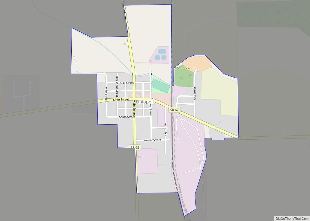
Uniopolis is an unincorporated community and former village in Auglaize County, Ohio, United States. The population was 222 at the 2010 census. It is included in the Wapakoneta, Ohio Micropolitan Statistical Area. The community is served by the Wapakoneta City School District. Uniopolis CDP overview: Name: Uniopolis CDP LSAD Code: 57 LSAD Description: CDP (suffix) ... Read more
Map of Uniopolis CDP
Map of Unionville Center village
Unionville Center is a village in Union County, Ohio, in the United States. The population was 233 at the 2010 census. The village is home to the Charles W. Fairbanks Festival that is held each May. The village also supports a post office, with the ZIP Code of 43077. Unionville Center village overview: Name: Unionville ... Read more
Map of Unionville Center village
Map of Uniontown CDP, Ohio
Uniontown is a census-designated place (CDP) in Stark County, Ohio, United States with 3,309 inhabitants at the 2010 census. The Industrial Excess Landfill, now a superfund site, is located south of Uniontown. Uniontown is part of the Canton-Massillon, OH Metropolitan Statistical Area. Uniontown CDP overview: Name: Uniontown CDP LSAD Code: 57 LSAD Description: CDP (suffix) ... Read more
Map of Uniontown CDP, Ohio
Map of Union city, Ohio
Union is a city in Montgomery and Miami Counties in the U.S. state of Ohio. The population was 6,859 at the time of the 2020 census. It is part of the Dayton Metropolitan Statistical Area. Union city overview: Name: Union city LSAD Code: 25 LSAD Description: city (suffix) State: Ohio County: Miami County, Montgomery County ... Read more
Map of Union city, Ohio
Map of Union City village, Ohio
Union City is a village in Darke County, Ohio, United States. The population was 1,666 at the 2010 census. It is directly across the state line from its twin city of Union City, Indiana. It has a 24/7 police and fire department run by Police and Fire Chief Mark S. Ater Jr. Union City village ... Read more
Map of Union City village, Ohio
Map of Uhrichsville city
Uhrichsville(/ˈɜːrɪksˌvɪl/ UR-iks-vil) is a city in Tuscarawas County, Ohio, United States. The population was 5,413 at the 2010 census. Claymont City School District is the major education provider for the city of Uhrichsville and for the village of Dennison, Ohio. The Twin cities is a nickname used to describe Uhrichsville and Dennison because they are ... Read more
Map of Uhrichsville city
Map of Twinsburg city
Twinsburg is a suburban city in Summit County, Ohio, United States, located about halfway between Akron and Cleveland. The population was 19,248 as of the 2020 census. It is part of the Akron metropolitan area. Twinsburg city overview: Name: Twinsburg city LSAD Code: 25 LSAD Description: city (suffix) State: Ohio County: Summit County Elevation: 1,001 ft ... Read more
Map of Twinsburg city
Map of Twinsburg Heights CDP
Twinsburg Heights is a census-designated place (CDP) in Summit County, Ohio, United States, composed of 14 streets in Twinsburg, Ohio. The population was 925 at the 2010 census. Twinsburg Heights CDP overview: Name: Twinsburg Heights CDP LSAD Code: 57 LSAD Description: CDP (suffix) State: Ohio County: Summit County Total Area: 0.29 sq mi (0.74 km²) Land Area: 0.29 sq mi ... Read more
Map of Twinsburg Heights CDP
Map of Valley Hi village
Valley Hi is a village in Logan County, Ohio, United States. The population was 212 at the 2010 census. The village is located nearby U.S. Route 33 and is about an hour northwest of Columbus. The village lies mostly in Jefferson Township, but its southernmost portion extends into Monroe Township. Valley Hi village overview: Name: ... Read more
Map of Valley Hi village
Map of Valley City CDP, Ohio
Valley City is an unincorporated community in central Liverpool Township, Medina County, Ohio, United States. The west branch of the Rocky River and Plum Creek flow near Valley City from south to north. It is located at intersection of State Routes 252 and 303 in the northwest corner of Medina County. Settled in 1810, the ... Read more
Map of Valley City CDP, Ohio
Map of Utica village, Ohio
Utica is a village in Knox and Licking counties in the U.S. state of Ohio, along the North Fork of the Licking River. The population was 2,132 at the 2010 census. The village is home to the general headquarters (HQ) of the Velvet Ice Cream Company at the Ye Olde Mill just south of the ... Read more
Map of Utica village, Ohio
Map of Urbancrest village
Urbancrest is a village in Franklin County, Ohio, United States. The population was 1,031 at the 2020 census. Urbancrest is in the South-Western City Schools District. Urbancrest village overview: Name: Urbancrest village LSAD Code: 47 LSAD Description: village (suffix) State: Ohio County: Franklin County Elevation: 840 ft (256 m) Total Area: 0.59 sq mi (1.52 km²) Land Area: 0.59 sq mi (1.52 km²) ... Read more
Map of Urbancrest village