Uniontown is a census-designated place (CDP) in Stark County, Ohio, United States with 3,309 inhabitants at the 2010 census.
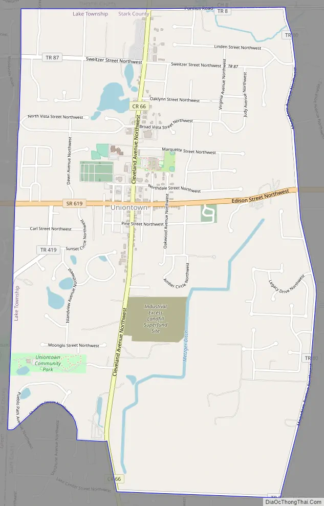
The Industrial Excess Landfill, now a superfund site, is located south of Uniontown.
Uniontown is part of the Canton-Massillon, OH Metropolitan Statistical Area.
| Name: | Uniontown CDP |
|---|---|
| LSAD Code: | 57 |
| LSAD Description: | CDP (suffix) |
| State: | Ohio |
| County: | Stark County |
| Elevation: | 1,119 ft (341 m) |
| Total Area: | 4.20 sq mi (10.89 km²) |
| Land Area: | 4.18 sq mi (10.83 km²) |
| Water Area: | 0.02 sq mi (0.06 km²) |
| Total Population: | 7,173 |
| Population Density: | 1,715.21/sq mi (662.21/km²) |
| ZIP code: | 44685 |
| Area code: | 330 |
| FIPS code: | 3978736 |
| GNISfeature ID: | 1065407 |
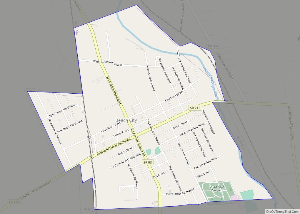
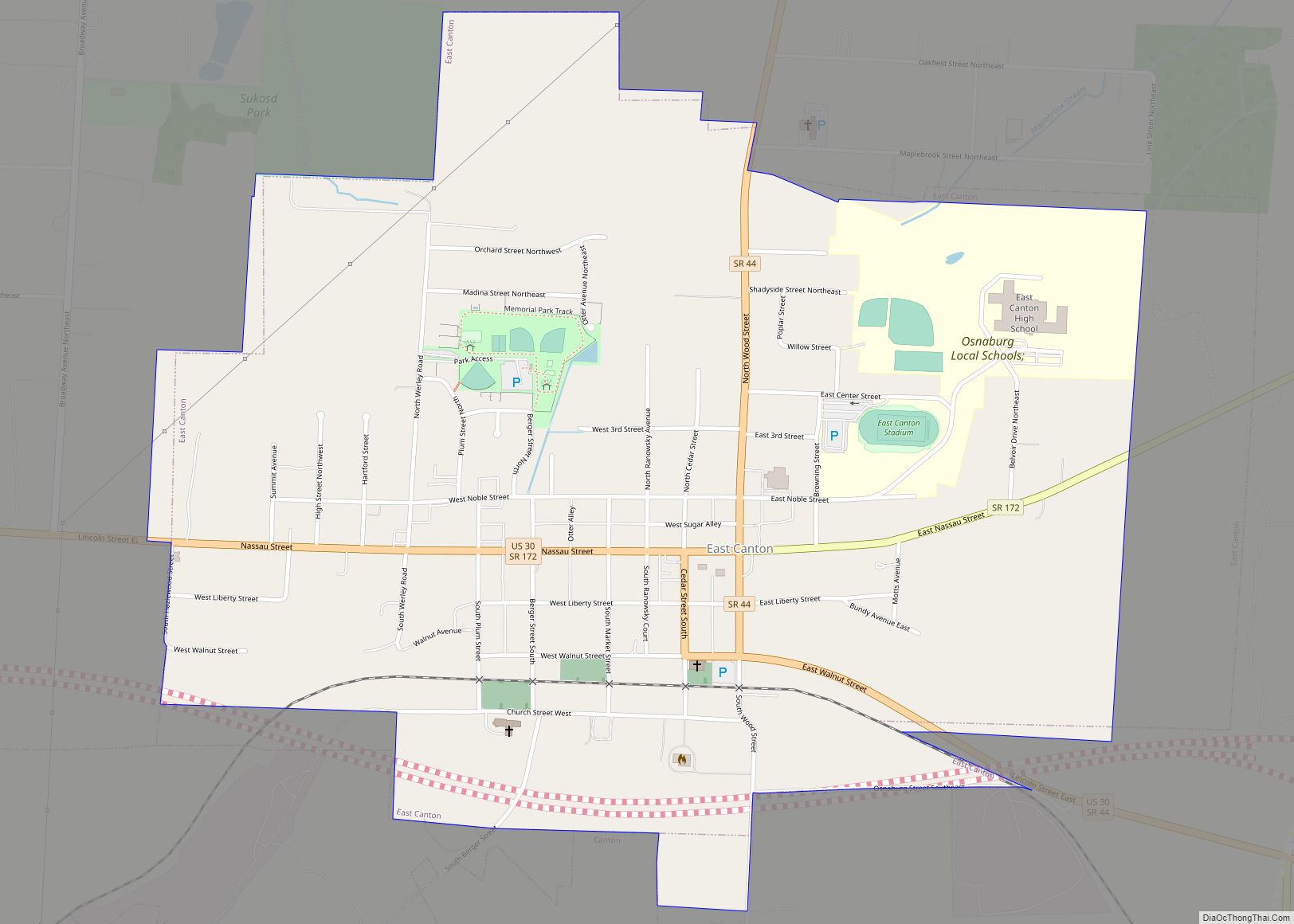
Online Interactive Map
Click on ![]() to view map in "full screen" mode.
to view map in "full screen" mode.
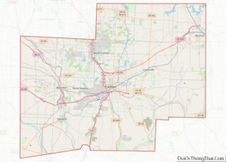
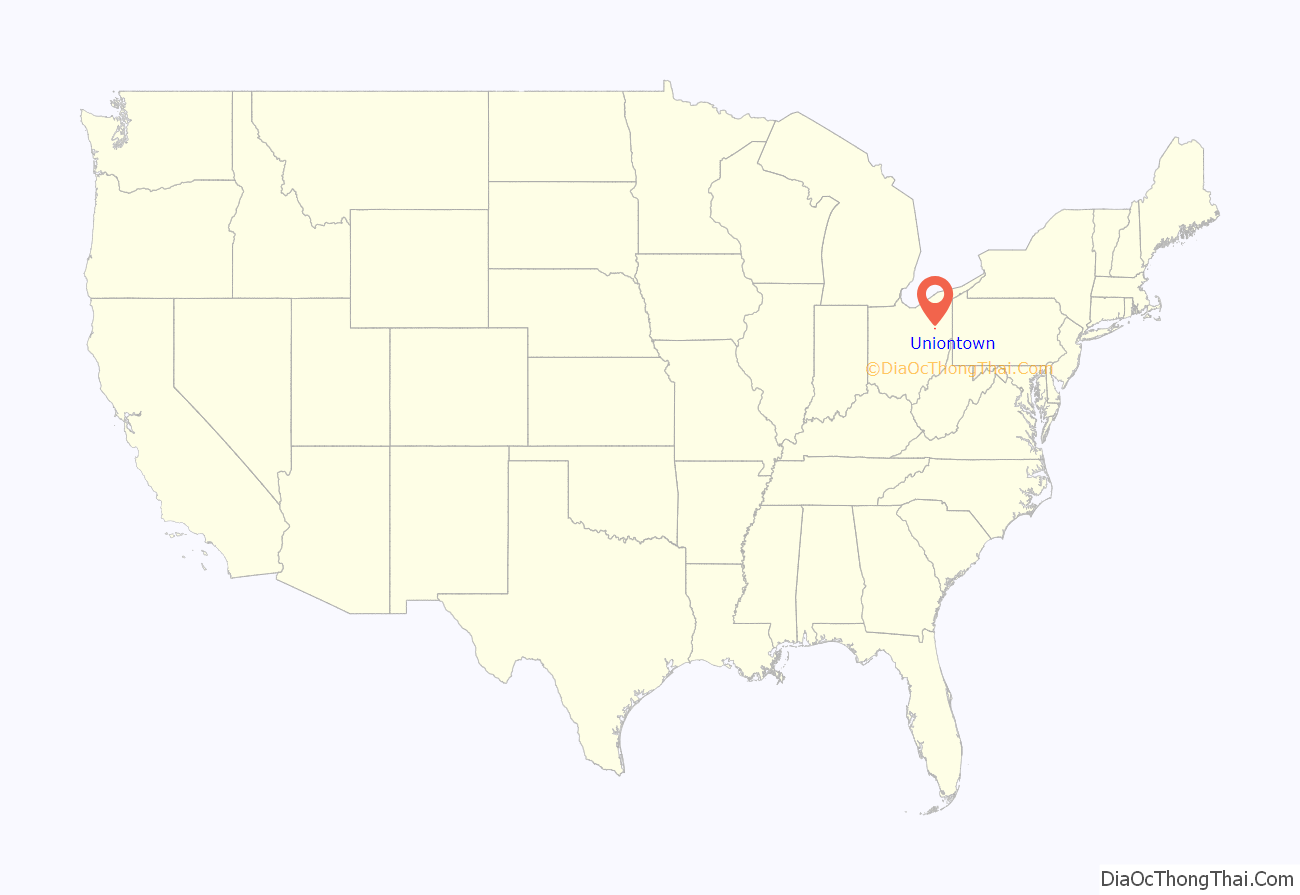
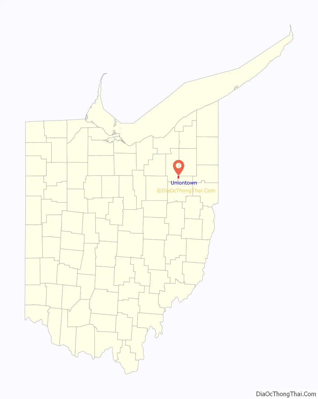
Uniontown location map. Where is Uniontown CDP?
History
Uniontown was platted in 1816. Two stagecoach lines which met near the original town site caused the name “Union” to be selected. By the 1830s, Uniontown had a church, schoolhouse, tannery, tavern, and two stores. A post office called Uniontown has been in operation since 1920.
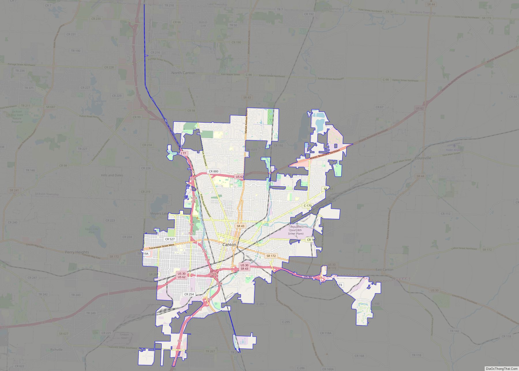
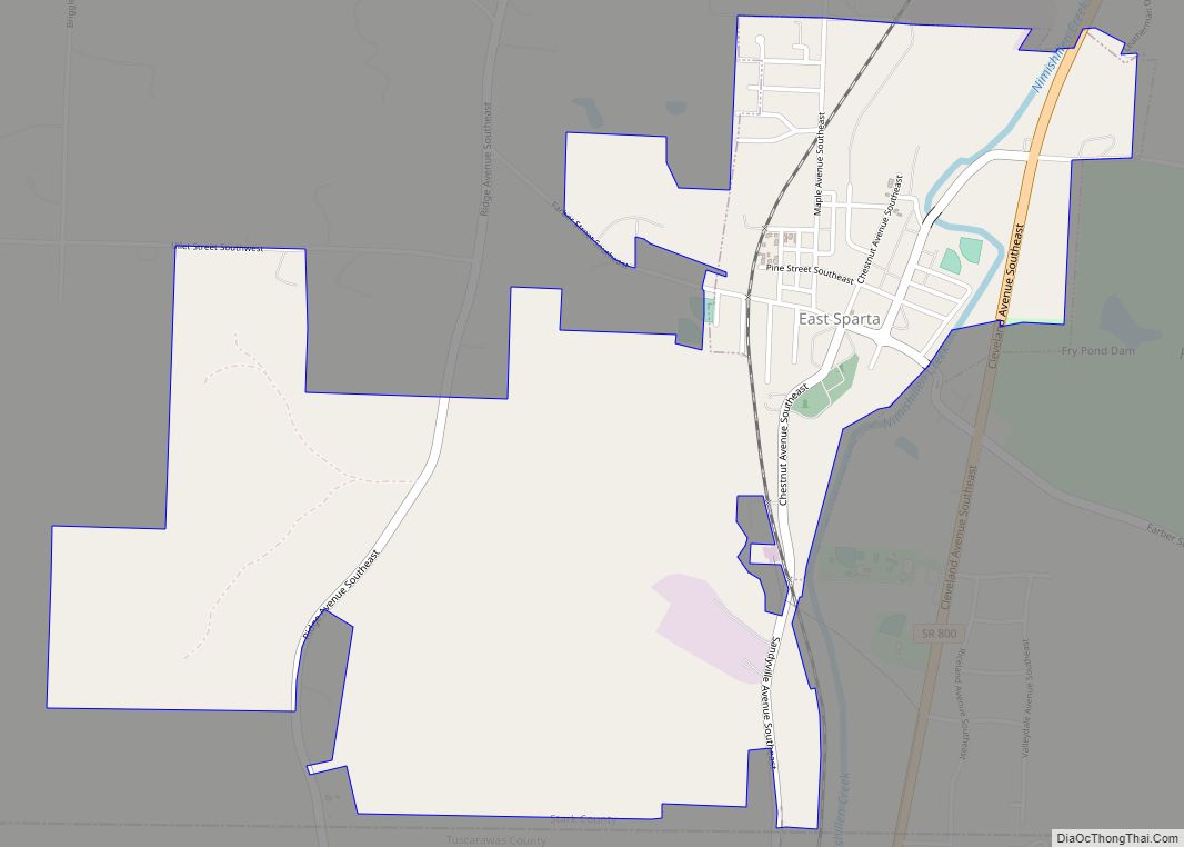
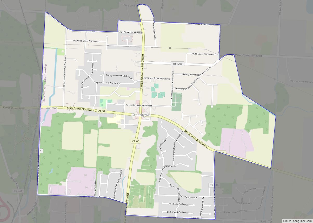
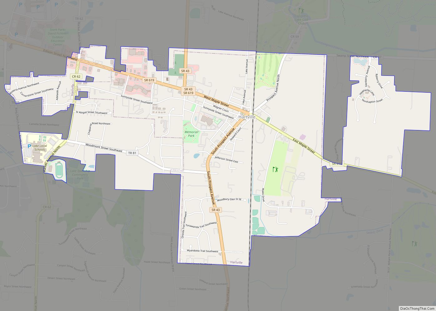
Uniontown Road Map
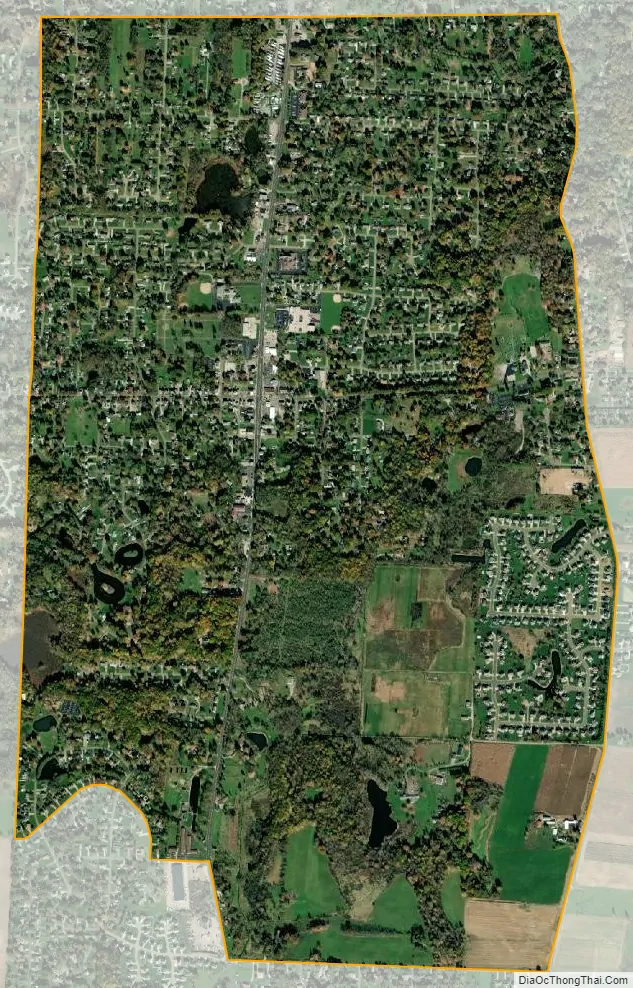
Uniontown city Satellite Map
Geography
Uniontown is located along the Tuscarawas River.
According to the United States Census Bureau, the CDP has a total area of 2.5 square miles (6.5 km), of which 2.5 square miles (6.5 km) is land and 0.04 square miles (0.10 km) (0.79%) is water.
See also
Map of Ohio State and its subdivision:- Adams
- Allen
- Ashland
- Ashtabula
- Athens
- Auglaize
- Belmont
- Brown
- Butler
- Carroll
- Champaign
- Clark
- Clermont
- Clinton
- Columbiana
- Coshocton
- Crawford
- Cuyahoga
- Darke
- Defiance
- Delaware
- Erie
- Fairfield
- Fayette
- Franklin
- Fulton
- Gallia
- Geauga
- Greene
- Guernsey
- Hamilton
- Hancock
- Hardin
- Harrison
- Henry
- Highland
- Hocking
- Holmes
- Huron
- Jackson
- Jefferson
- Knox
- Lake
- Lake Erie
- Lawrence
- Licking
- Logan
- Lorain
- Lucas
- Madison
- Mahoning
- Marion
- Medina
- Meigs
- Mercer
- Miami
- Monroe
- Montgomery
- Morgan
- Morrow
- Muskingum
- Noble
- Ottawa
- Paulding
- Perry
- Pickaway
- Pike
- Portage
- Preble
- Putnam
- Richland
- Ross
- Sandusky
- Scioto
- Seneca
- Shelby
- Stark
- Summit
- Trumbull
- Tuscarawas
- Union
- Van Wert
- Vinton
- Warren
- Washington
- Wayne
- Williams
- Wood
- Wyandot
- Alabama
- Alaska
- Arizona
- Arkansas
- California
- Colorado
- Connecticut
- Delaware
- District of Columbia
- Florida
- Georgia
- Hawaii
- Idaho
- Illinois
- Indiana
- Iowa
- Kansas
- Kentucky
- Louisiana
- Maine
- Maryland
- Massachusetts
- Michigan
- Minnesota
- Mississippi
- Missouri
- Montana
- Nebraska
- Nevada
- New Hampshire
- New Jersey
- New Mexico
- New York
- North Carolina
- North Dakota
- Ohio
- Oklahoma
- Oregon
- Pennsylvania
- Rhode Island
- South Carolina
- South Dakota
- Tennessee
- Texas
- Utah
- Vermont
- Virginia
- Washington
- West Virginia
- Wisconsin
- Wyoming