Map of Dublin city, Texas
Dublin is a city located in southwestern Erath County in Central Texas, United States. Its population was 3,654 at the 2010 census, down from 3,754 at the 2000 census. The town is the former home of the world’s oldest Dr Pepper bottling plant (see Dublin Dr Pepper). The plant was for many years the only ... Read more
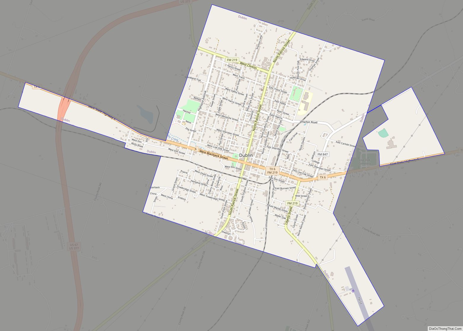
Map of Dublin city, Texas
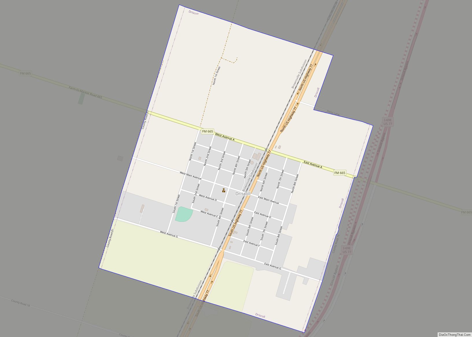
Map of Driscoll city, Texas
Driscoll is a city in Nueces County, Texas, United States. Its population was 680 at the 2020 census, down from 739 at the 2000 census. Driscoll city overview: Name: Driscoll city LSAD Code: 25 LSAD Description: city (suffix) State: Texas County: Nueces County Elevation: 62 ft (19 m) Total Area: 1.16 sq mi (3.01 km²) Land Area: 1.16 sq mi (3.01 km²) Water ... Read more
Map of Driscoll city, Texas
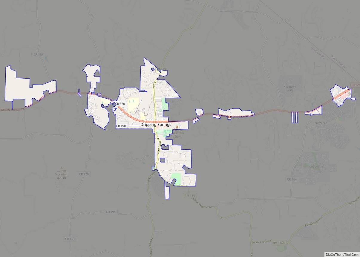
Map of Dripping Springs city, Texas
Dripping Springs is a city in Hays County, Texas, United States. The population was 4,650 at the 2020 census. Dripping Springs is a primarily rural town. Dripping Springs city overview: Name: Dripping Springs city LSAD Code: 25 LSAD Description: city (suffix) State: Texas County: Hays County Elevation: 1,148 ft (350 m) Total Area: 8.80 sq mi (22.78 km²) Land Area: ... Read more
Map of Dripping Springs city, Texas
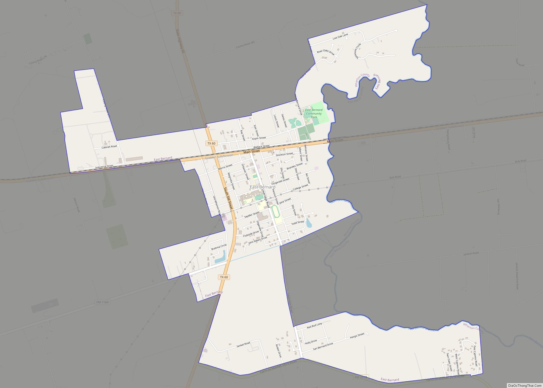
Map of East Bernard city
East Bernard is a city in Wharton County, Texas, United States. The population was 2,218 at the 2020 census. U.S. Highway 90 Alternate (US 90A) and Texas State Highway 60 (SH 60) intersect within the city limits. East Bernard has its own school district, two auto dealerships and a number of other businesses. The San Bernard River ... Read more
Map of East Bernard city
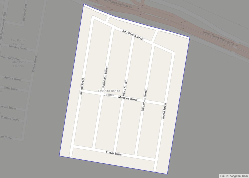
Map of East Alto Bonito CDP
East Alto Bonito is a census-designated place (CDP) in Starr County, Texas, United States. This was a new CDP for the 2010 census with a population of 824. East Alto Bonito CDP overview: Name: East Alto Bonito CDP LSAD Code: 57 LSAD Description: CDP (suffix) State: Texas County: Starr County Total Area: 0.1 sq mi (0.3 km²) Land ... Read more
Map of East Alto Bonito CDP
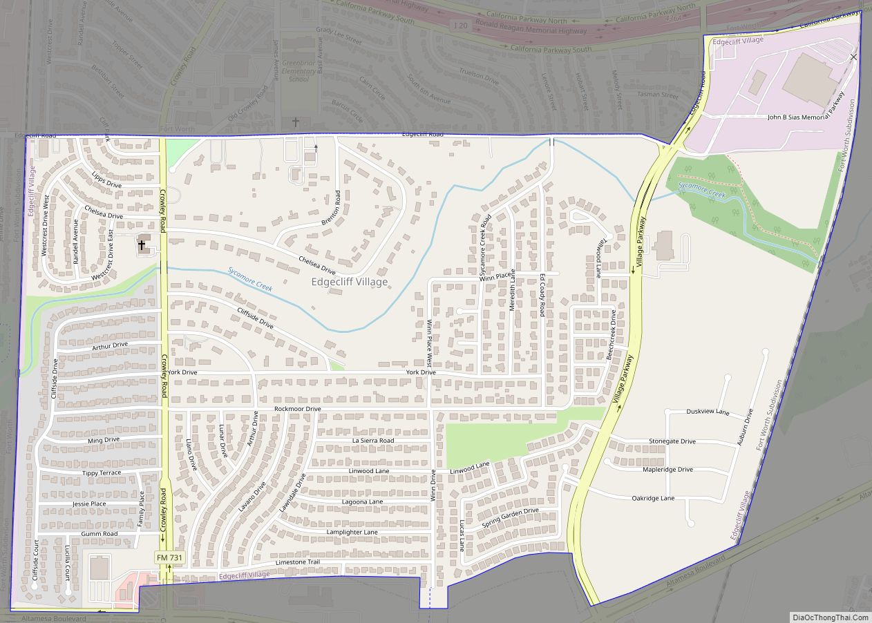
Map of Edgecliff Village town
Edgecliff Village is a town in Tarrant County, Texas, United States. It is an enclave suburb of, and surrounded by, Fort Worth. The population was 2,776 at the 2010 census. Edgecliff Village town overview: Name: Edgecliff Village town LSAD Code: 43 LSAD Description: town (suffix) State: Texas County: Tarrant County Elevation: 686 ft (209 m) Total Area: ... Read more
Map of Edgecliff Village town
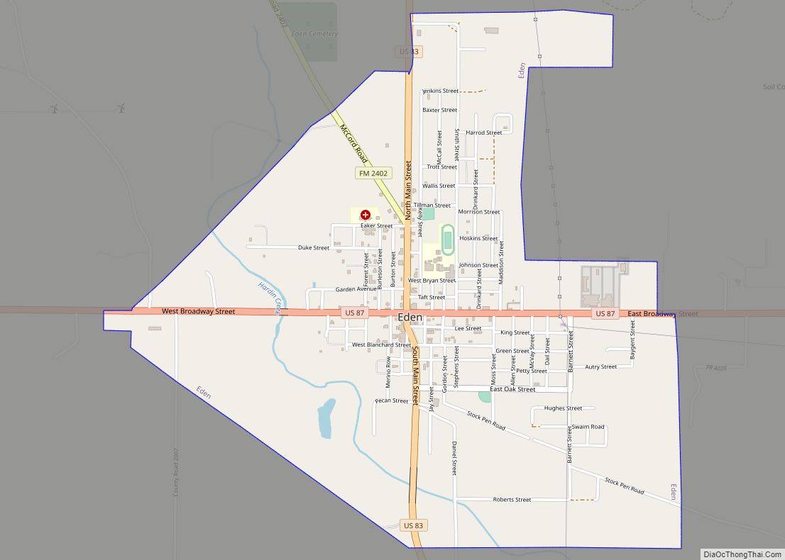
Map of Eden city, Texas
Eden is a city in Concho County, Texas, United States. The population was 2,766 at the 2010 census. The community is a rural trading center for agricultural products for the many large ranches and farms in West Texas. Eden city overview: Name: Eden city LSAD Code: 25 LSAD Description: city (suffix) State: Texas County: Concho ... Read more
Map of Eden city, Texas
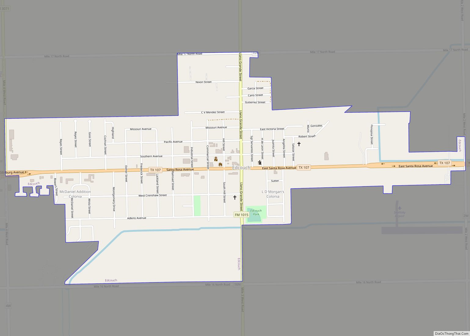
Map of Edcouch city
Edcouch is a city in Hidalgo County, Texas, United States. The population was 3,161 at the 2010 census. It is part of the McAllen–Edinburg–Mission and Reynosa–McAllen metropolitan areas. The town was founded in 1927 and named for Edward Couch, landowner and banker. Edcouch city overview: Name: Edcouch city LSAD Code: 25 LSAD Description: city (suffix) ... Read more
Map of Edcouch city
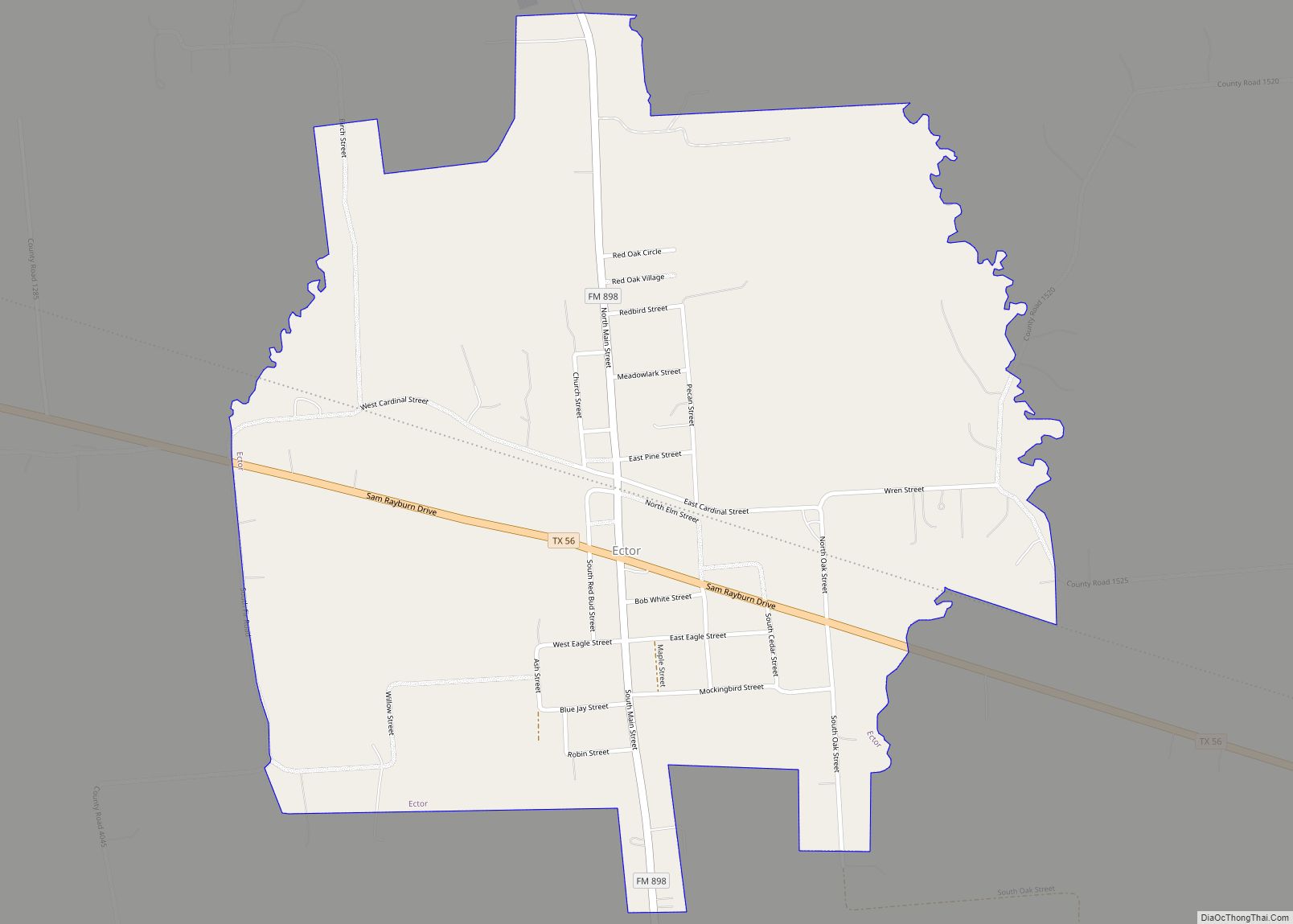
Map of Ector city
Ector is a city in Fannin County, Texas, United States. The population was 695 at the 2010 census, up from 600 at the 2000 census. Ector city overview: Name: Ector city LSAD Code: 25 LSAD Description: city (suffix) State: Texas County: Fannin County Elevation: 650 ft (198 m) Total Area: 1.17 sq mi (3.04 km²) Land Area: 1.17 sq mi (3.04 km²) Water ... Read more
Map of Ector city
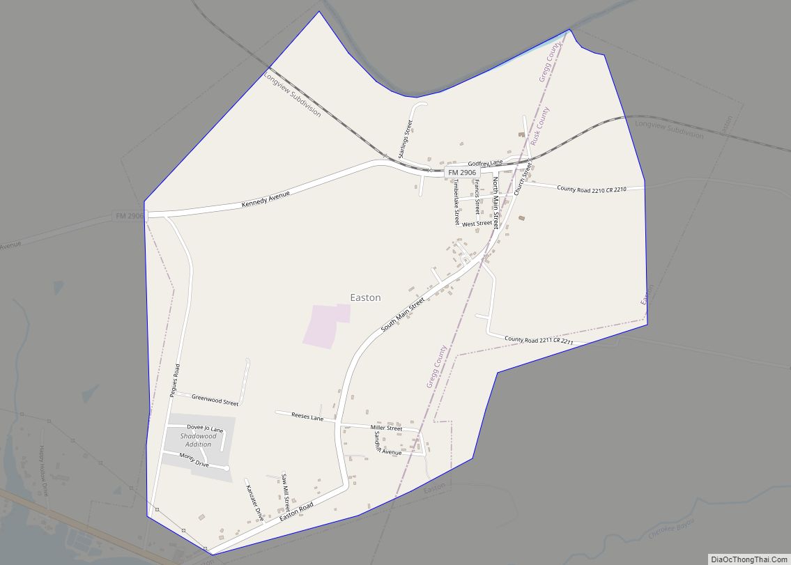
Map of Easton city, Texas
Easton is a city in Gregg and Rusk counties in the U.S. state of Texas. The population was 510 at the 2010 census, and 499 at the 2020 census. “Easton, Texas” is the title of the fourth episode of the CBS Western television series Trackdown, starring Robert Culp as Texas Ranger Hoby Gilman. The episode ... Read more
Map of Easton city, Texas
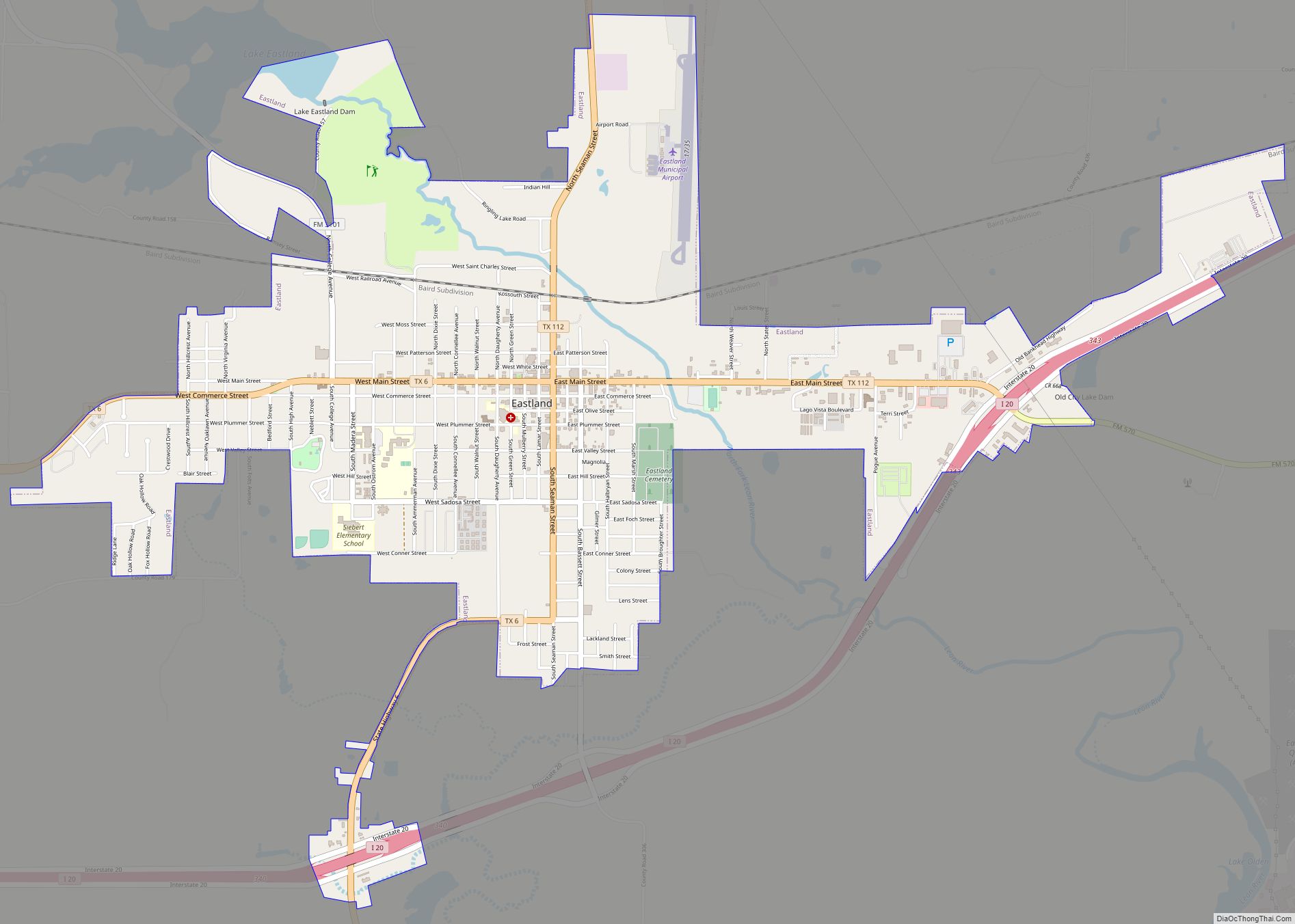
Map of Eastland city
Eastland is a city in Eastland County, Texas, United States. Its population was 3,960 at the 2010 census. It is the county seat of Eastland County. Eastland city overview: Name: Eastland city LSAD Code: 25 LSAD Description: city (suffix) State: Texas County: Eastland County Elevation: 1,440 ft (439 m) Total Area: 4.39 sq mi (11.38 km²) Land Area: 4.36 sq mi (11.30 km²) ... Read more
Map of Eastland city
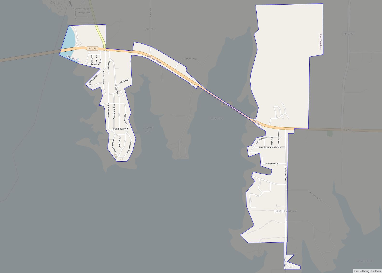
Map of East Tawakoni city
East Tawakoni (/təˈwɑːkəni/ tə-WAH-kə-nee) is a city in Rains County, Texas, United States. The population was 883 at the 2010 census. East Tawakoni is located on the east side of Lake Tawakoni, while its twin city West Tawakoni is located on the west side of the lake. East Tawakoni city overview: Name: East Tawakoni city ... Read more
Map of East Tawakoni city