Eden is a city in Concho County, Texas, United States. The population was 2,766 at the 2010 census. The community is a rural trading center for agricultural products for the many large ranches and farms in West Texas.
| Name: | Eden city |
|---|---|
| LSAD Code: | 25 |
| LSAD Description: | city (suffix) |
| State: | Texas |
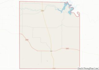
| County: | Concho County |
| Incorporated: | February 4, 1911 |
| Elevation: | 2,054 ft (626 m) |
| Total Area: | 2.38 sq mi (6.16 km²) |
| Land Area: | 2.38 sq mi (6.16 km²) |
| Water Area: | 0.00 sq mi (0.00 km²) |
| Total Population: | 1,535 |
| Population Density: | 543.93/sq mi (210.00/km²) |
| ZIP code: | 76837 |
| Area code: | 325 |
| FIPS code: | 4822552 |
| GNISfeature ID: | 1356813 |
| Website: | www.edentexas.com |
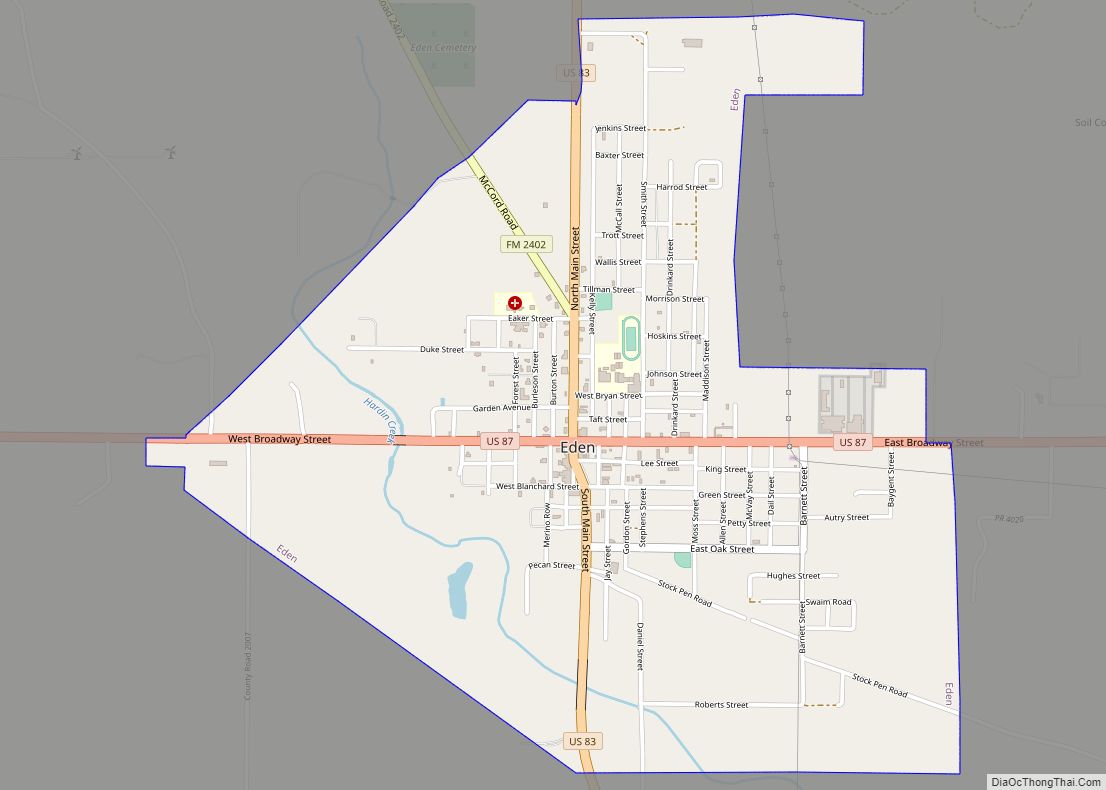
Online Interactive Map
Click on ![]() to view map in "full screen" mode.
to view map in "full screen" mode.
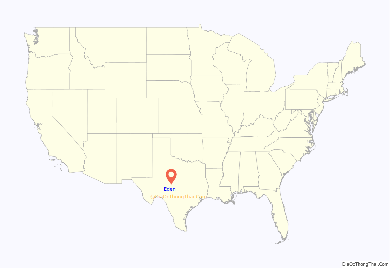
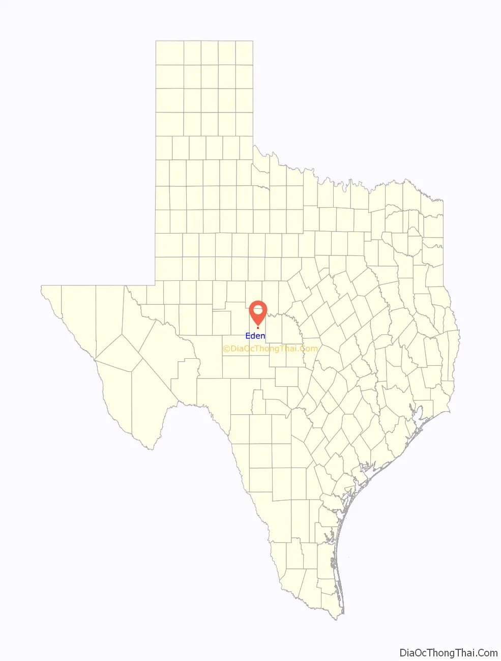
Eden location map. Where is Eden city?
History
The earliest settlers were the family of Harvey and Louisa McCarty. Frederick Ede and his family moved to the area around 1881. In 1882, Ede donated 40 acres (16 ha) of land to be used as a townsite and to build a town square. The following year, a post office was established and was named “Eden”, an adaptation of Frederick Ede’s name.
A school was established in 1885.
By 1890, Eden had a general store, a jeweler, a saloon, a Baptist church (organized in 1886), and a population exceeding 100. A newspaper, The Eden Echo, was founded in 1906. That same year, a bank was established. Telephone service arrived about 1907, and a public well and windmill were installed in 1908.
Eden was incorporated on February 4, 1911. That same year, the Gulf, Colorado and Santa Fe Railway completed a 98 mi (158 km) line between Eden and Lometa, located east of Eden.
By 1914, Eden had a restaurant, two general stores, two hotels, two cotton gins, two lumber companies, two hardware stores, a Baptist church, and a Methodist church. The population was 600.
The Eden Independent School District was established in 1920, and electricity arrived in Eden in 1925.
Eden became a trading center for mohair and wool after 1925, as sheep ranching in the area increased. Local ranchers also began raising cattle and goats, as well as polo ponies for eastern markets.
In 1961, the first F-105 fighter-bomber delivered to the US Air Force 49th Tactical Fighter Wing was named the “Kordel-Eden”, after Kordel, Germany, and the pilot’s hometown of Eden, Texas.
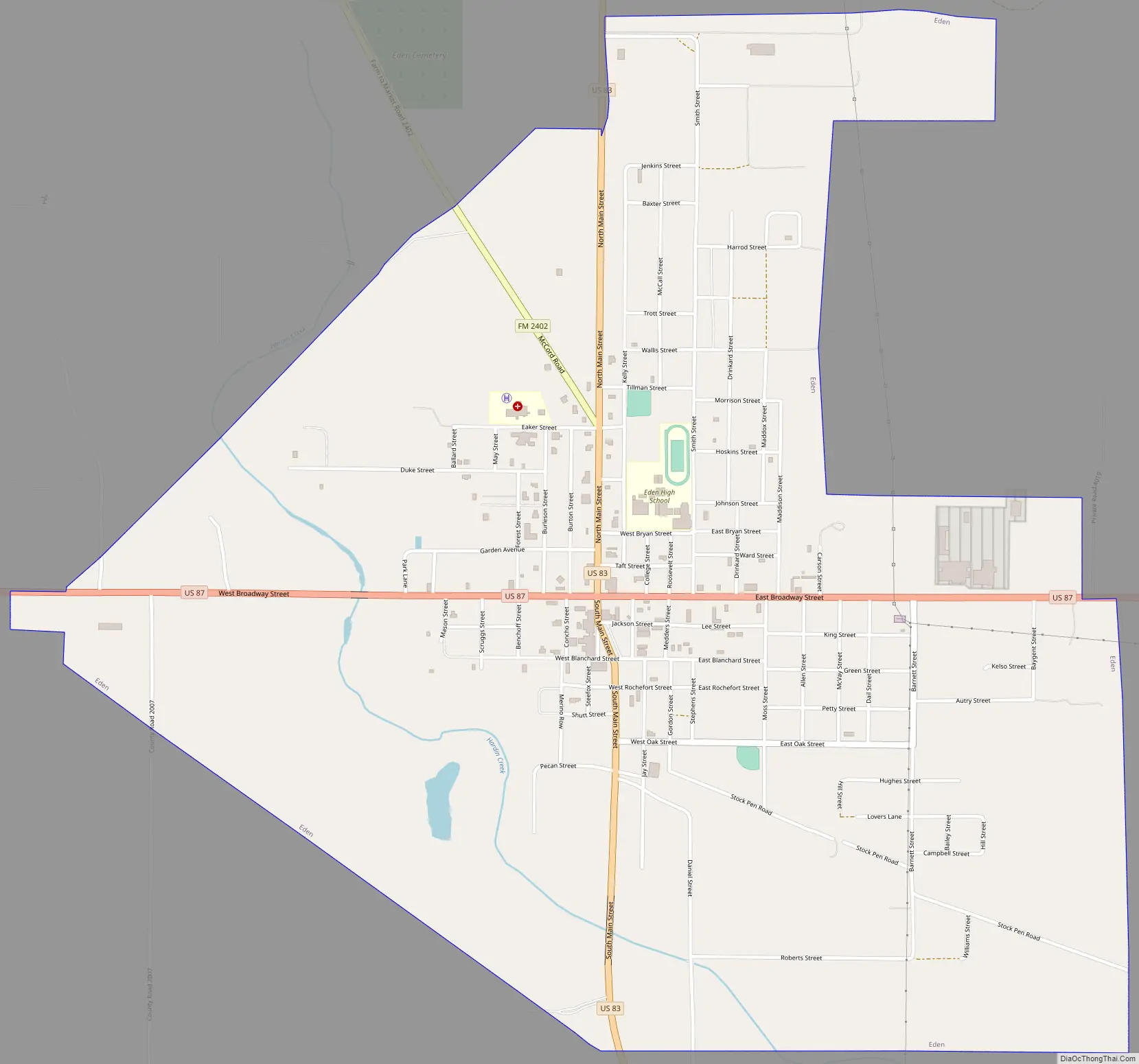
Eden Road Map
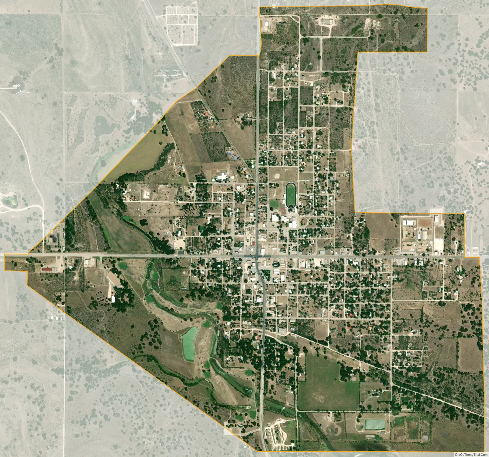
Eden city Satellite Map
Geography
According to the United States Census Bureau, the city has a total area of 2.4 square miles (6.2 km), all of it land.
Climate
The climate in this area is characterized by hot, humid summers and generally mild to cool winters. According to the Köppen climate classification system, Eden has a humid subtropical climate, Cfa on climate maps.
See also
Map of Texas State and its subdivision:- Anderson
- Andrews
- Angelina
- Aransas
- Archer
- Armstrong
- Atascosa
- Austin
- Bailey
- Bandera
- Bastrop
- Baylor
- Bee
- Bell
- Bexar
- Blanco
- Borden
- Bosque
- Bowie
- Brazoria
- Brazos
- Brewster
- Briscoe
- Brooks
- Brown
- Burleson
- Burnet
- Caldwell
- Calhoun
- Callahan
- Cameron
- Camp
- Carson
- Cass
- Castro
- Chambers
- Cherokee
- Childress
- Clay
- Cochran
- Coke
- Coleman
- Collin
- Collingsworth
- Colorado
- Comal
- Comanche
- Concho
- Cooke
- Coryell
- Cottle
- Crane
- Crockett
- Crosby
- Culberson
- Dallam
- Dallas
- Dawson
- Deaf Smith
- Delta
- Denton
- Dewitt
- Dickens
- Dimmit
- Donley
- Duval
- Eastland
- Ector
- Edwards
- El Paso
- Ellis
- Erath
- Falls
- Fannin
- Fayette
- Fisher
- Floyd
- Foard
- Fort Bend
- Franklin
- Freestone
- Frio
- Gaines
- Galveston
- Garza
- Gillespie
- Glasscock
- Goliad
- Gonzales
- Gray
- Grayson
- Gregg
- Grimes
- Guadalupe
- Hale
- Hall
- Hamilton
- Hansford
- Hardeman
- Hardin
- Harris
- Harrison
- Hartley
- Haskell
- Hays
- Hemphill
- Henderson
- Hidalgo
- Hill
- Hockley
- Hood
- Hopkins
- Houston
- Howard
- Hudspeth
- Hunt
- Hutchinson
- Irion
- Jack
- Jackson
- Jasper
- Jeff Davis
- Jefferson
- Jim Hogg
- Jim Wells
- Johnson
- Jones
- Karnes
- Kaufman
- Kendall
- Kenedy
- Kent
- Kerr
- Kimble
- King
- Kinney
- Kleberg
- Knox
- La Salle
- Lamar
- Lamb
- Lampasas
- Lavaca
- Lee
- Leon
- Liberty
- Limestone
- Lipscomb
- Live Oak
- Llano
- Loving
- Lubbock
- Lynn
- Madison
- Marion
- Martin
- Mason
- Matagorda
- Maverick
- McCulloch
- McLennan
- McMullen
- Medina
- Menard
- Midland
- Milam
- Mills
- Mitchell
- Montague
- Montgomery
- Moore
- Morris
- Motley
- Nacogdoches
- Navarro
- Newton
- Nolan
- Nueces
- Ochiltree
- Oldham
- Orange
- Palo Pinto
- Panola
- Parker
- Parmer
- Pecos
- Polk
- Potter
- Presidio
- Rains
- Randall
- Reagan
- Real
- Red River
- Reeves
- Refugio
- Roberts
- Robertson
- Rockwall
- Runnels
- Rusk
- Sabine
- San Augustine
- San Jacinto
- San Patricio
- San Saba
- Schleicher
- Scurry
- Shackelford
- Shelby
- Sherman
- Smith
- Somervell
- Starr
- Stephens
- Sterling
- Stonewall
- Sutton
- Swisher
- Tarrant
- Taylor
- Terrell
- Terry
- Throckmorton
- Titus
- Tom Green
- Travis
- Trinity
- Tyler
- Upshur
- Upton
- Uvalde
- Val Verde
- Van Zandt
- Victoria
- Walker
- Waller
- Ward
- Washington
- Webb
- Wharton
- Wheeler
- Wichita
- Wilbarger
- Willacy
- Williamson
- Wilson
- Winkler
- Wise
- Wood
- Yoakum
- Young
- Zapata
- Zavala
- Alabama
- Alaska
- Arizona
- Arkansas
- California
- Colorado
- Connecticut
- Delaware
- District of Columbia
- Florida
- Georgia
- Hawaii
- Idaho
- Illinois
- Indiana
- Iowa
- Kansas
- Kentucky
- Louisiana
- Maine
- Maryland
- Massachusetts
- Michigan
- Minnesota
- Mississippi
- Missouri
- Montana
- Nebraska
- Nevada
- New Hampshire
- New Jersey
- New Mexico
- New York
- North Carolina
- North Dakota
- Ohio
- Oklahoma
- Oregon
- Pennsylvania
- Rhode Island
- South Carolina
- South Dakota
- Tennessee
- Texas
- Utah
- Vermont
- Virginia
- Washington
- West Virginia
- Wisconsin
- Wyoming