Map of Louise CDP, Texas
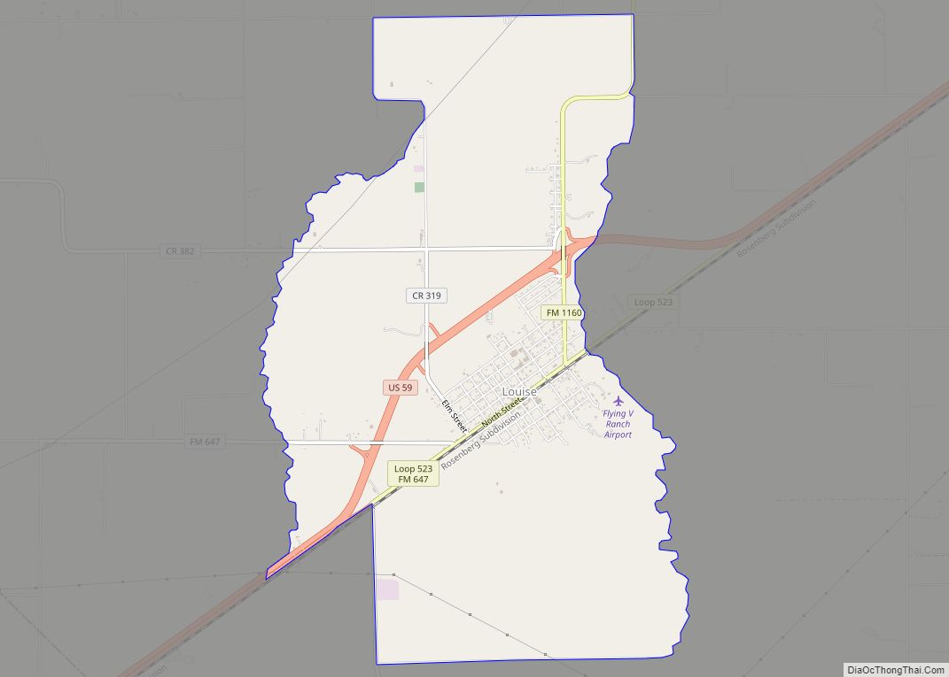
Louise is a census-designated place (CDP) in southwestern Wharton County, Texas, United States. Louise started as a station on a newly built railroad in 1881. The area soon proved especially suited for rice growing. Other crops were successful and oil and gas were produced in the area. The population peaked in 1960, then declined, then ... Read more
Map of Louise CDP, Texas
Map of Lott city
Lott is a city in Falls County, Texas, United States. As of the 2020 census, the city population was 644. Lott city overview: Name: Lott city LSAD Code: 25 LSAD Description: city (suffix) State: Texas County: Falls County Elevation: 522 ft (159 m) Total Area: 1.02 sq mi (2.65 km²) Land Area: 1.01 sq mi (2.62 km²) Water Area: 0.01 sq mi (0.04 km²) Total Population: ... Read more
Map of Lott city
Map of Lost Creek CDP, Texas
Lost Creek is an affluent upper-middle-class neighborhood and census-designated place (CDP) of approximately 4,500 people in Travis County, Texas, United States. The census tract is bordered by Capital of Texas Highway to the east, Barton Creek to the south, Barton Creek Boulevard to the west, and Bee Caves Road to the north. The Lost Creek ... Read more
Map of Lost Creek CDP, Texas
Map of Los Ybanez city
Los Ybanez is a city in Dawson County, Texas, United States. The population was 19 at the 2010 census, making it the municipality with the smallest population in Texas. Los Ybanez city overview: Name: Los Ybanez city LSAD Code: 25 LSAD Description: city (suffix) State: Texas County: Dawson County Elevation: 2,972 ft (906 m) Total Area: 0.08 sq mi ... Read more
Map of Los Ybanez city
Map of Los Veteranos II CDP
Los Veteranos II is a census-designated place (CDP) in Webb County, Texas, United States. This was a new CDP formed from parts of the Botines CDP prior to the 2010 census. The population was 11 at the 2020 census. It is one of several colonias in the county. Los Veteranos II CDP overview: Name: Los ... Read more
Map of Los Veteranos II CDP
Map of Los Veteranos I CDP
Los Veteranos I is a census-designated place (CDP) in Webb County, Texas, United States. This was a new CDP formed from parts of the Ranchitos Las Lomas CDP prior to the 2010 census. The population was 0 at the 2020 census. It is one of several colonias in the county. Los Veteranos I CDP overview: ... Read more
Map of Los Veteranos I CDP
Map of Los Nopalitos CDP
Los Nopalitos is a census-designated place (CDP) in Webb County, Texas, United States. This was a new CDP for the 2010 census with a population of 62. Los Nopalitos CDP overview: Name: Los Nopalitos CDP LSAD Code: 57 LSAD Description: CDP (suffix) State: Texas County: Webb County Elevation: 604 ft (184 m) Total Area: 0.1 sq mi (0.3 km²) Land ... Read more
Map of Los Nopalitos CDP
Map of Lozano CDP
Lozano is a census-designated place (CDP) in Cameron County, Texas, United States. The population was 404 at the 2010 census, up from 324 at the 2000 census. It is part of the Brownsville–Harlingen Metropolitan Statistical Area. Lozano CDP overview: Name: Lozano CDP LSAD Code: 57 LSAD Description: CDP (suffix) State: Texas County: Cameron County Elevation: ... Read more
Map of Lozano CDP
Map of Madisonville city, Texas
Madisonville is a city in Madison County, Texas, United States. The population was 4,420 at the 2020 census. It is the county seat of Madison County. Both the City of Madisonville and the County of Madison were named for U.S. President James Madison, the fourth chief executive. Madisonville city overview: Name: Madisonville city LSAD Code: ... Read more
Map of Madisonville city, Texas
Map of Macdona CDP
Macdona is an unincorporated community and census-designated place in Bexar County, Texas, United States. As of the 2010 census it had a population of 559. Macdona lies along the Union Pacific rail line near Loop 1604 in southwest Bexar County. It is part of the San Antonio Metropolitan Statistical Area. Macdona CDP overview: Name: Macdona ... Read more
Map of Macdona CDP
Map of Mabank town
Mabank (/ˈmeɪbæŋk/ MAY-bank) is a town in Henderson, Van Zandt and Kaufman counties in the U.S. state of Texas. Its population was 4,050 at the 2020 census. Mabank town overview: Name: Mabank town LSAD Code: 43 LSAD Description: town (suffix) State: Texas County: Henderson County, Kaufman County Elevation: 394 ft (120 m) Total Area: 7.63 sq mi (19.77 km²) Land ... Read more
Map of Mabank town
Map of Lytle city
Lytle is a city in Atascosa, Bexar, and Medina counties in the U.S. state of Texas. The population was 2,492 at the 2010 census. It is part of the San Antonio Metropolitan Statistical Area. Lytle city overview: Name: Lytle city LSAD Code: 25 LSAD Description: city (suffix) State: Texas County: Atascosa County, Bexar County, Medina ... Read more
Map of Lytle city