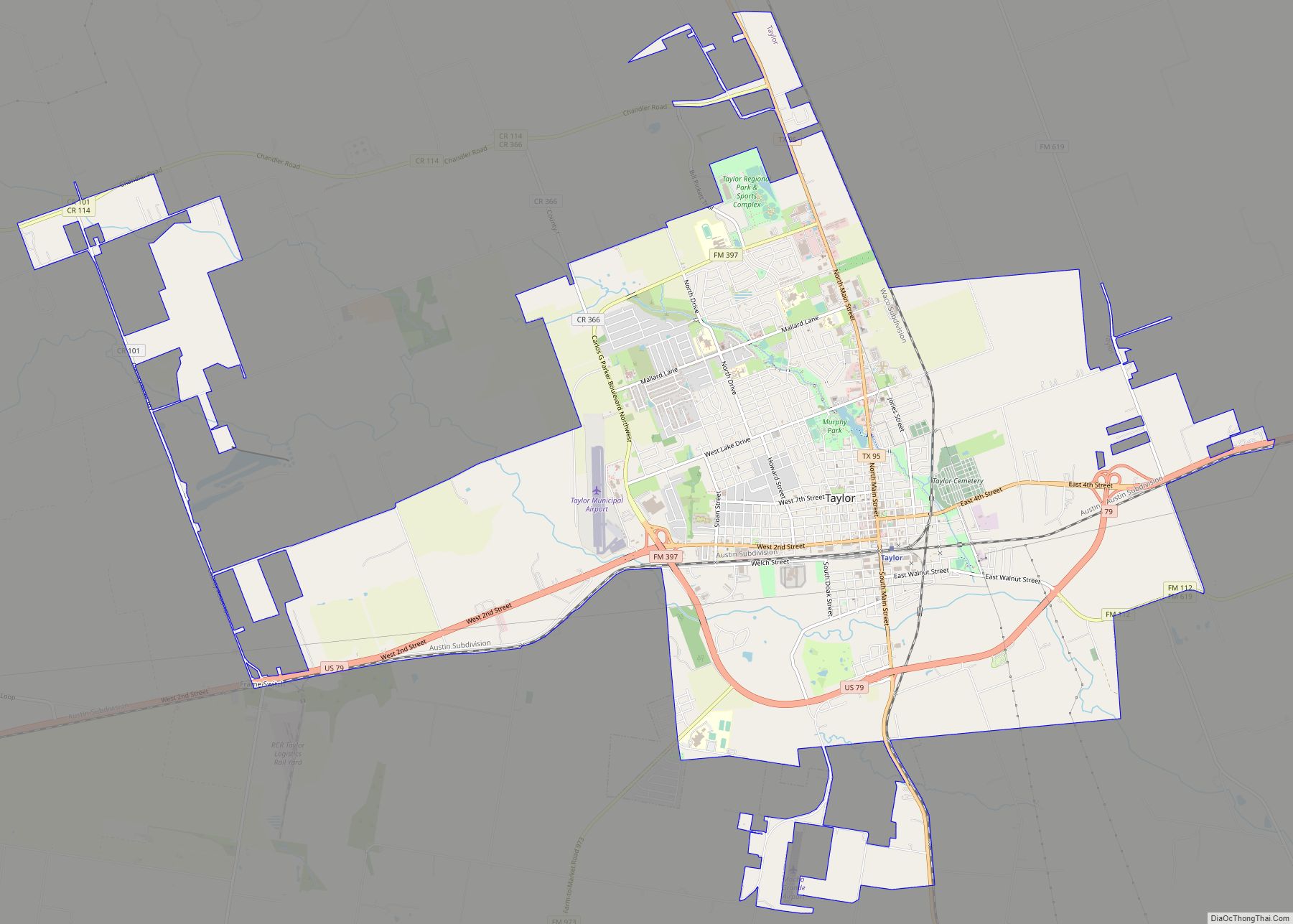
Taylor is a city in Williamson County, Texas, United States. The population was 13,575 at the 2000 census; it was 15,191 at the 2010 census; it was 16,267 at the 2020 census. Taylor city overview: Name: Taylor city LSAD Code: 25 LSAD Description: city (suffix) State: Texas County: Williamson County Elevation: 564 ft (172 m) Total Area: ... Read more
Map of US Cities and Places
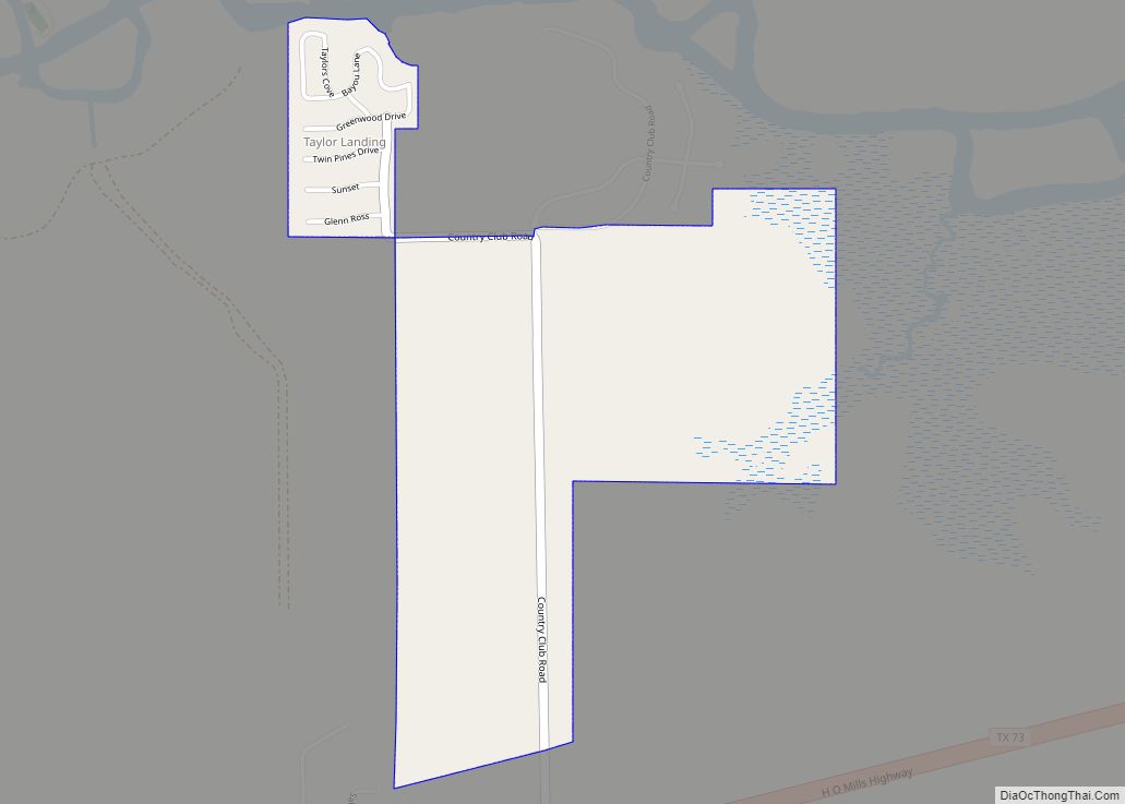
Taylor Landing is a city in Jefferson County, Texas, United States. It had a population of 228 at the 2010 census. The city, formerly part of Port Arthur‘s extraterritorial jurisdiction, voted to incorporate in an election held on September 10, 2005. A total of 124 votes were cast, 80 (64.5%) in favor of incorporation and ... Read more
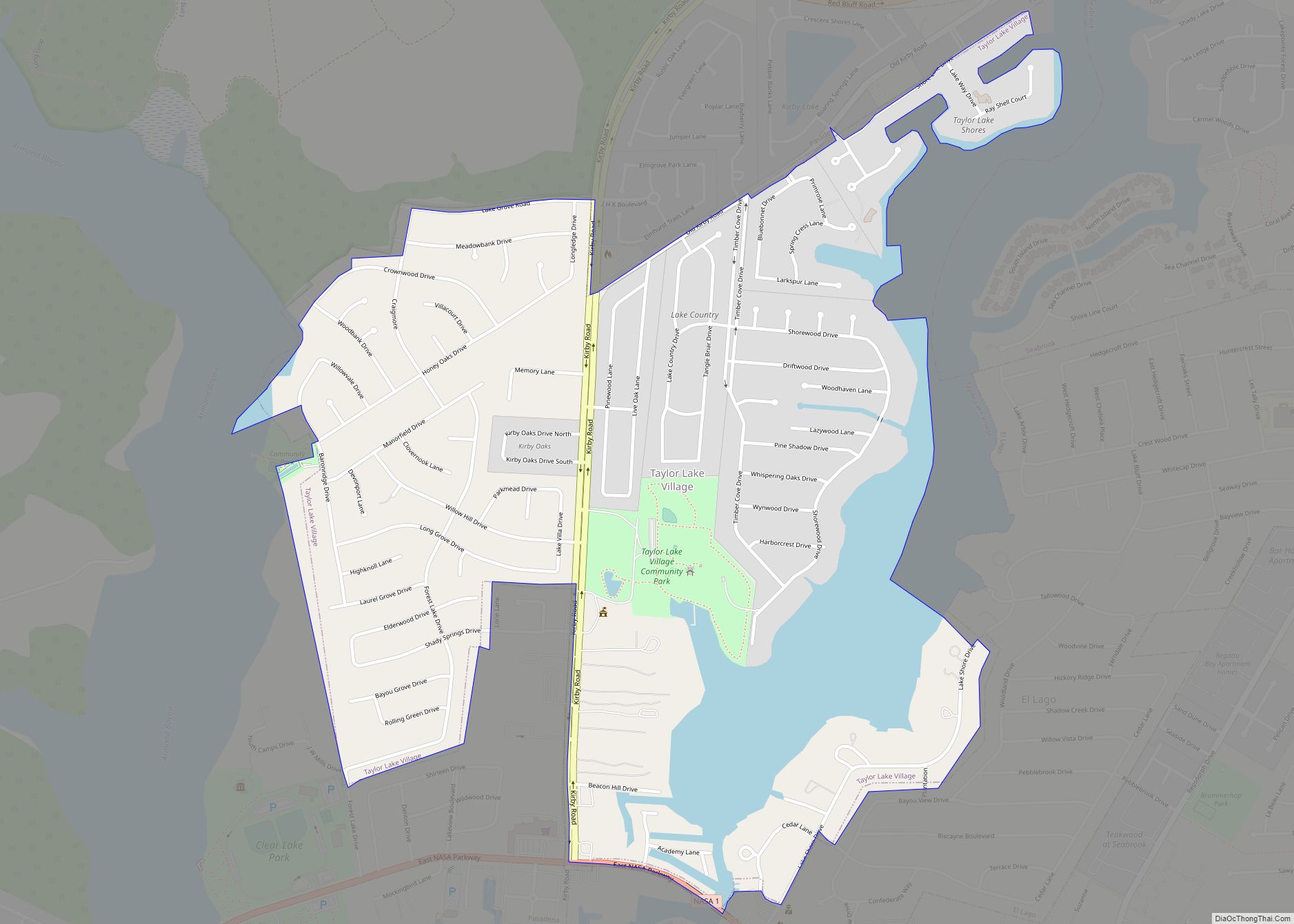
Taylor Lake Village is a city in Harris County in the U.S. state of Texas. The population was 3,704 at the 2020 U.S. census. Taylor Lake Village city overview: Name: Taylor Lake Village city LSAD Code: 25 LSAD Description: city (suffix) State: Texas County: Harris County Elevation: 3 ft (1 m) Total Area: 1.31 sq mi (3.39 km²) Land Area: ... Read more
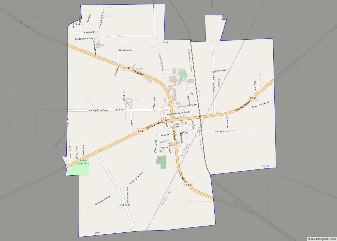
Tatum is a city in Panola and Rusk counties in the U.S. state of Texas. The population was 1,342 at the 2020 census. Tatum city overview: Name: Tatum city LSAD Code: 25 LSAD Description: city (suffix) State: Texas County: Panola County, Rusk County Elevation: 338 ft (103 m) Total Area: 3.78 sq mi (9.80 km²) Land Area: 3.78 sq mi (9.80 km²) Water ... Read more
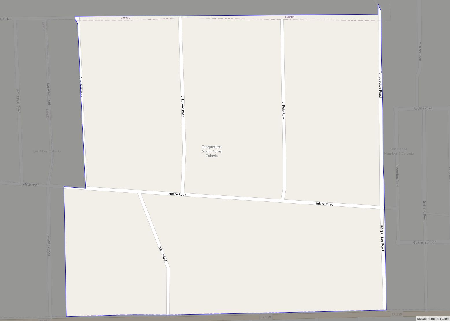
Tanquecitos South Acres is a census-designated place (CDP) in Webb County, Texas, United States. This was a new CDP formed from parts of the Laredo Ranchettes CDP prior to the 2010 census with a population of 233. It is one of several colonias in the county. Tanquecitos South Acres CDP overview: Name: Tanquecitos South Acres ... Read more
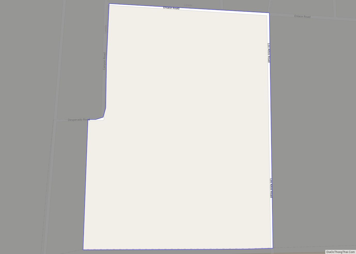
Tanquecitos South Acres II is a census-designated place (CDP) in Webb County, Texas, United States. This was a new CDP formed from parts of the Laredo Ranchettes CDP prior to the 2010 census with a population of 50. It is one of several colonias in the county. Tanquecitos South Acres II CDP overview: Name: Tanquecitos ... Read more
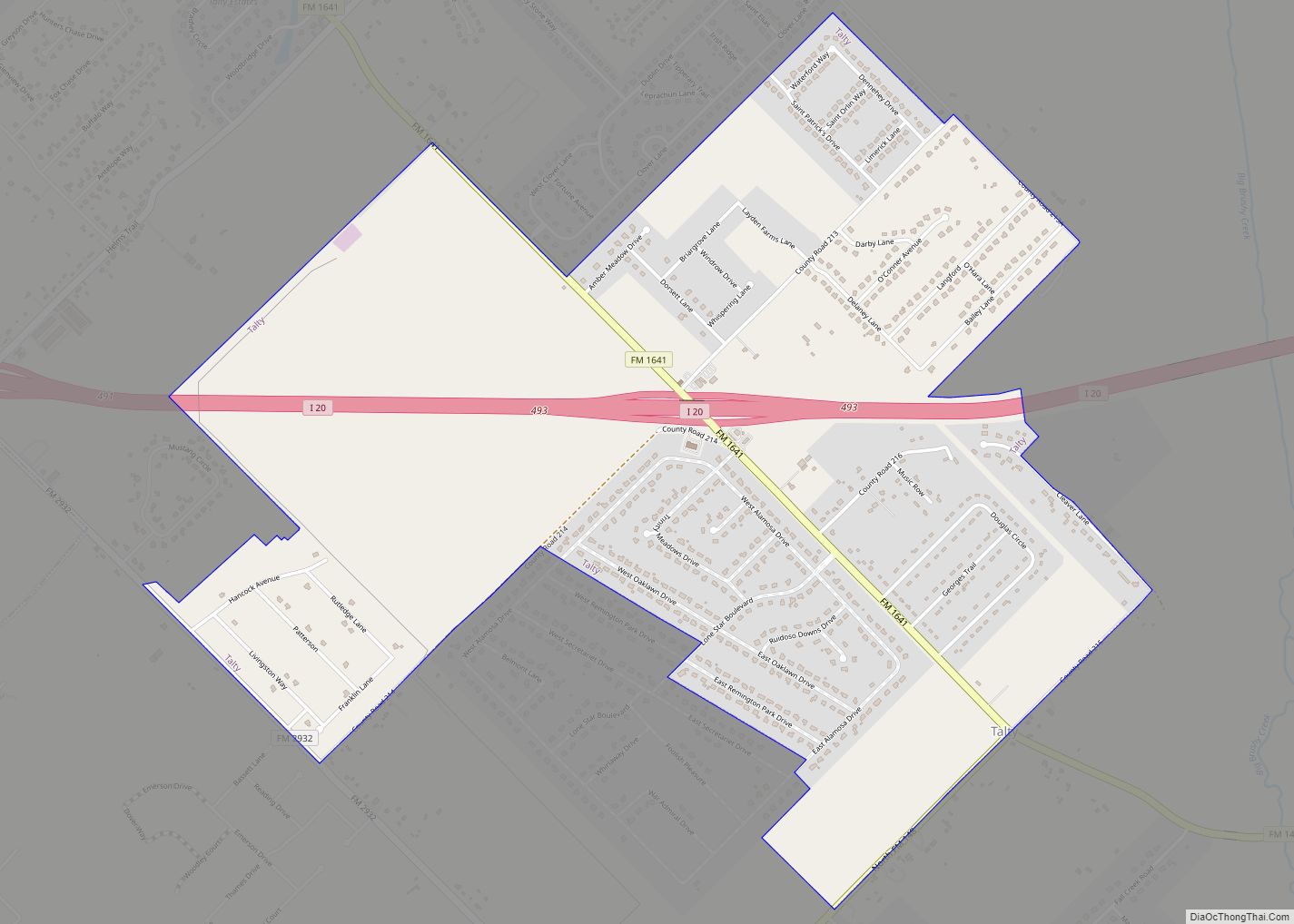
Talty is a city in Kaufman County, Texas, United States. Its population was 1,535 at the 2010 census, and in 2019 the estimated population was 2,760. Incorporated on May 1, 1999, as the Town of Talty, the name was formally changed to City of Talty in 2015. Don Willett, a judge on the United States ... Read more
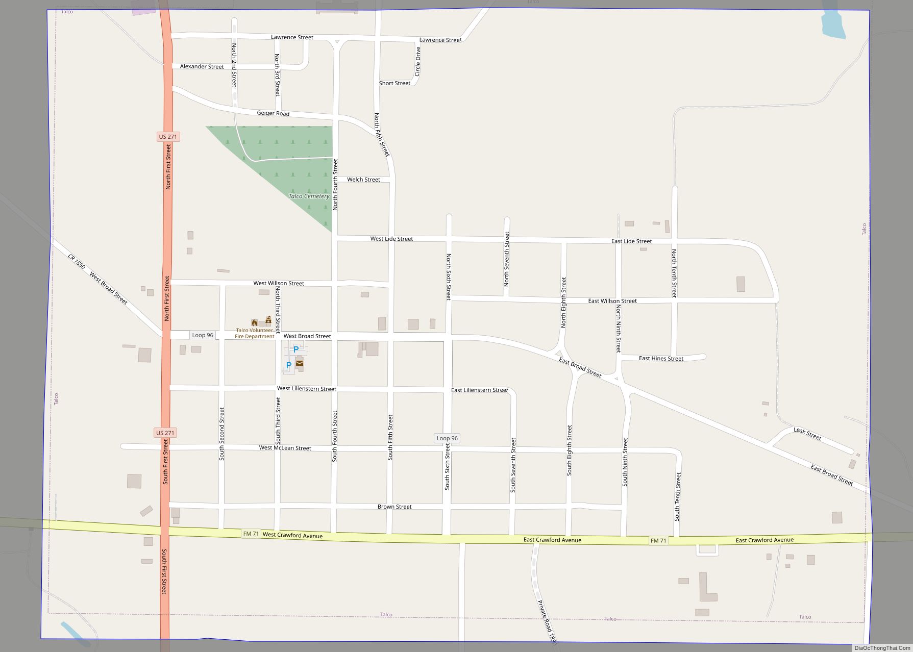
Talco is a town in Titus County, Texas, United States. The population was 516 at the 2010 census. The name is derived from a local candy bar (It was either a shelf carton or because the local people said it was “Texas-Arkansas-Louisiana Country hence Talco). Also reports said it may have been a local company ... Read more
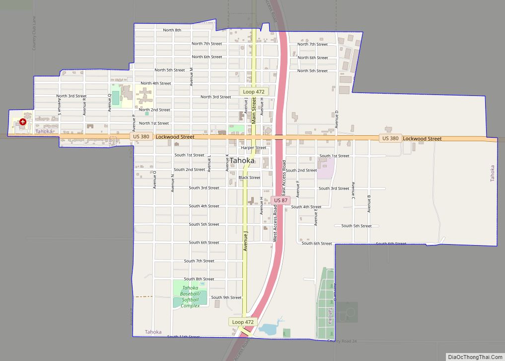
Tahoka is a city in and the county seat of Lynn County, Texas, United States. The population was 2,673 at the 2010 census. Tahoka city overview: Name: Tahoka city LSAD Code: 25 LSAD Description: city (suffix) State: Texas County: Lynn County Elevation: 3,081 ft (939 m) Total Area: 2.39 sq mi (6.20 km²) Land Area: 2.38 sq mi (6.17 km²) Water Area: 0.01 sq mi ... Read more
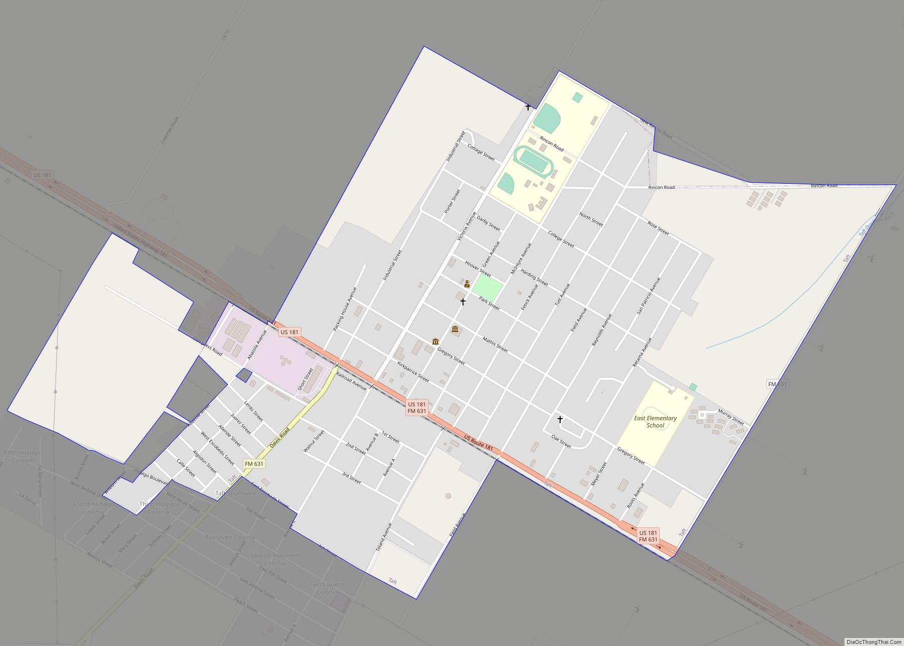
Taft is a city in San Patricio County, Texas, United States. The population was 3,048 at the 2010 census. Taft city overview: Name: Taft city LSAD Code: 25 LSAD Description: city (suffix) State: Texas County: San Patricio County Elevation: 49 ft (15 m) Total Area: 1.67 sq mi (4.32 km²) Land Area: 1.67 sq mi (4.32 km²) Water Area: 0.00 sq mi (0.00 km²) Total Population: ... Read more
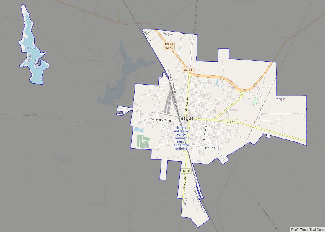
Teague is a city in Freestone County, Texas, United States. The population was 3,384 at the 2020 census. Teague city overview: Name: Teague city LSAD Code: 25 LSAD Description: city (suffix) State: Texas County: Freestone County Elevation: 495 ft (151 m) Total Area: 5.25 sq mi (13.58 km²) Land Area: 5.05 sq mi (13.08 km²) Water Area: 0.19 sq mi (0.50 km²) Total Population: 3,384 Population ... Read more
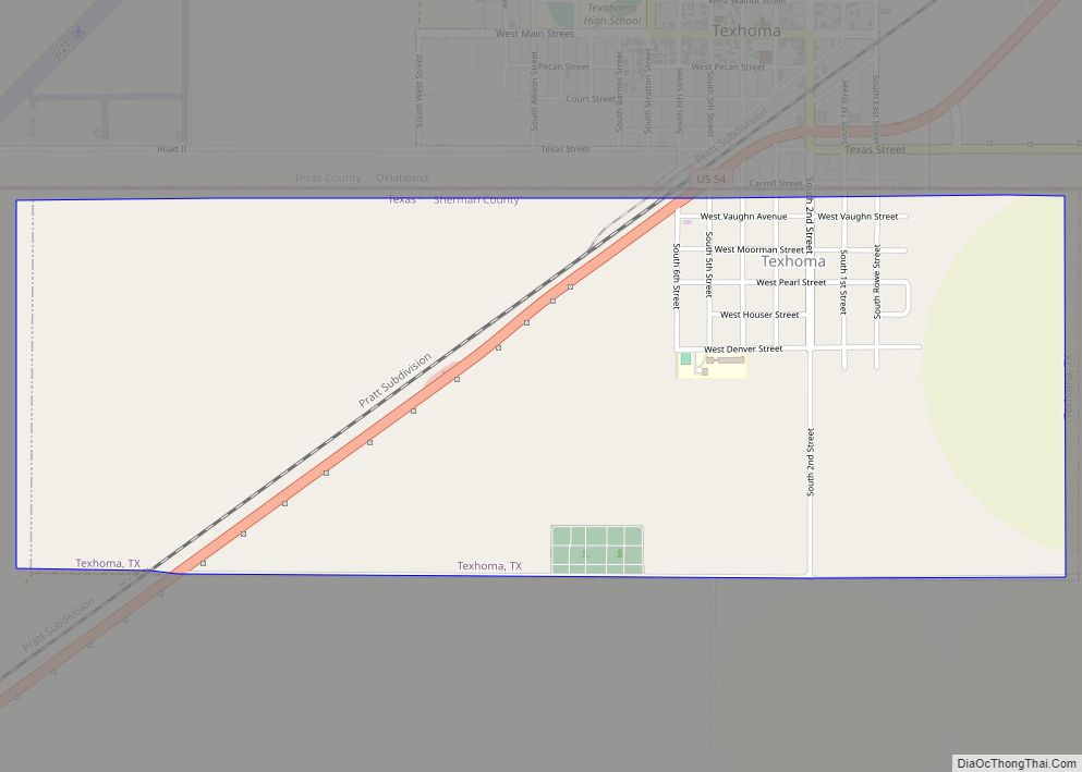
Texhoma is a city in Sherman County, Texas, United States. The population was 258 at the 2020 census, declining from 364 in 2010. Texhoma is a divided city with the Texas-Oklahoma state border separating the city from Texhoma, Oklahoma. It is also the northernmost settlement in the entire state of Texas. Texhoma city overview: Name: ... Read more
